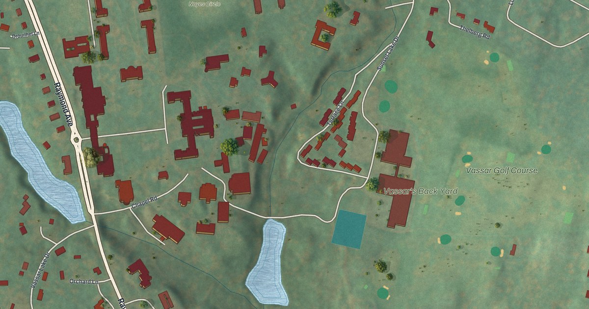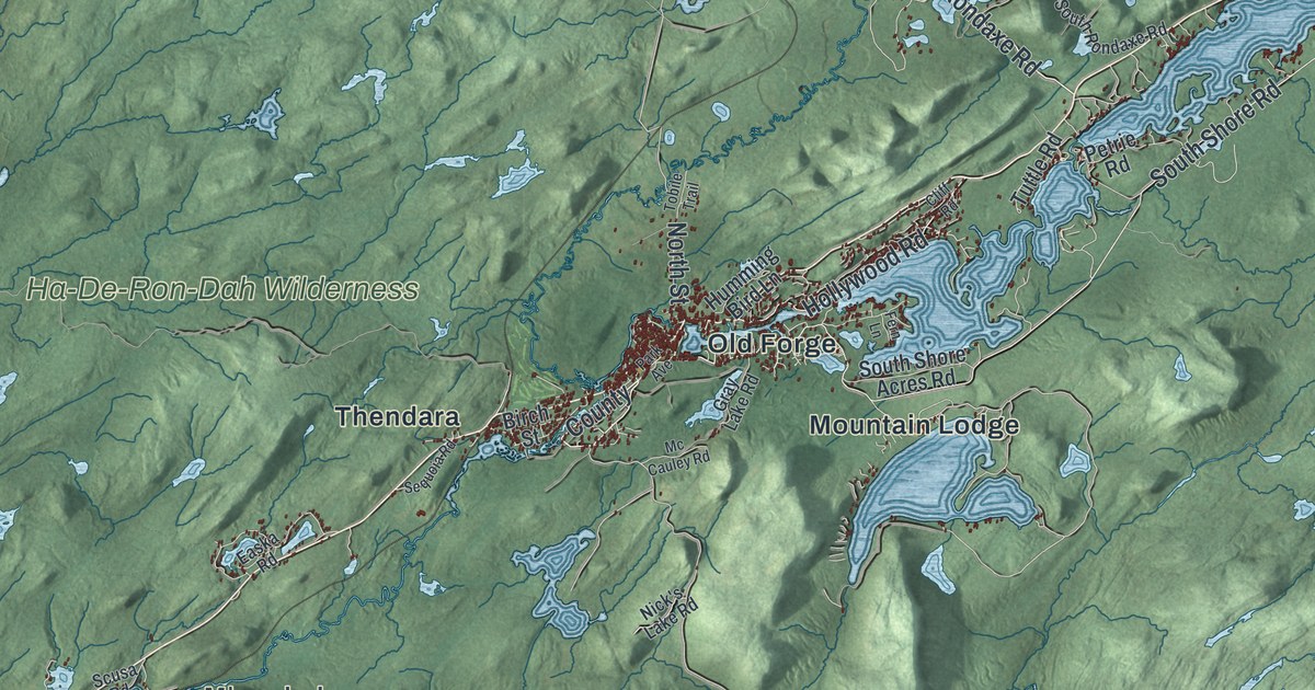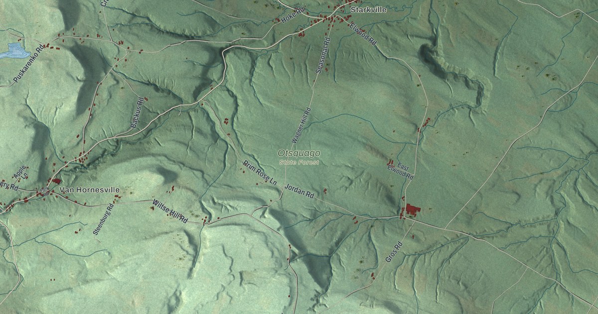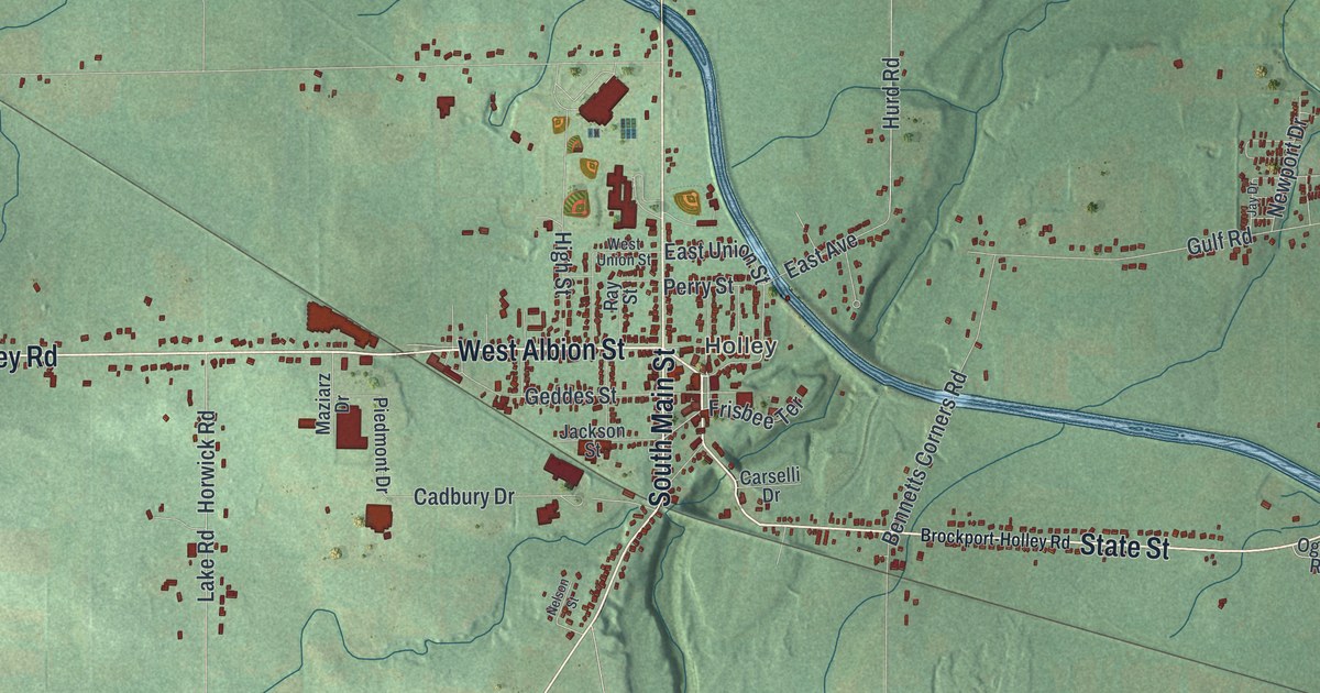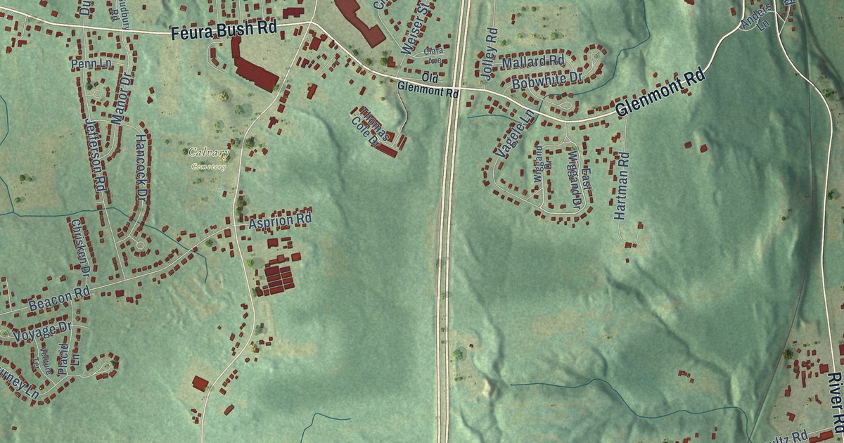
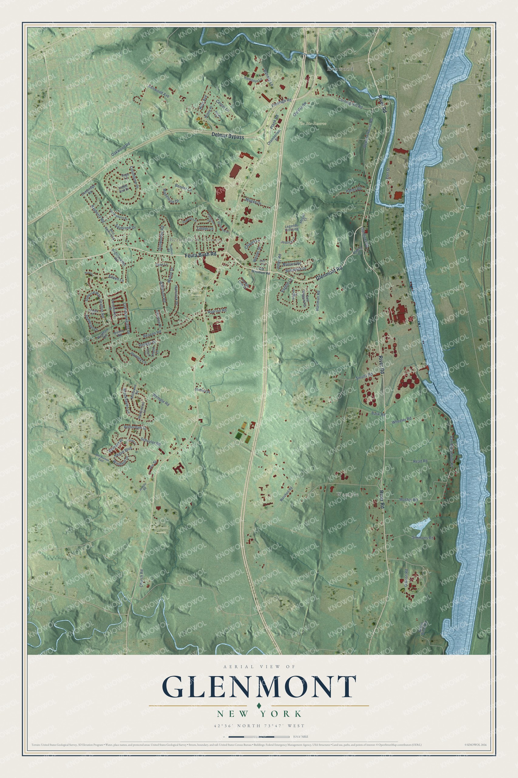
This beautifully detailed map of Glenmont, New York was created in 2026 using aerial imagery combined with modern topographical, census, street and landmark data. It’s a one-of-a-kind view of Glenmont that combines accurate data with a vintage aesthetic. The map shows every building in its true location, many of the roads carry their names, and the shaded topographic relief shows the shape of the land.
Explore an aerial view of Glenmont, New York
On the map you’ll find Wemple, Bethlehem Center, Calvary Cemetery, Elmwood Cemetery, The Bio-Reserve, Kenwood, and Bernard Place, along with Feura Bush Road, Glenmont Road, River Road, Delmar Bypass, Hague Boulevard, and more. If you look closely you can even find your house accurately drawn in its correct location. Zoom in on the preview to look for yours.
Take a closer look at the Glenmont map
Names on this map
These names are printed on this map.
Places: Wemple, Bethlehem Center, Calvary Cemetery, Elmwood Cemetery, The Bio-Reserve and Kenwood.
Streets and roads: Feura Bush Road, Glenmont Road, River Road, Delmar Bypass, Hague Boulevard, Bernard Place, Kenwood Avenue, Beacon Road, Wemple Road, Bender Lane, Van Wies Point Road, Gibson Road.
More street names, A to Z
Abigail Court, Anders Lane, Asprion Road, Barent Winne Road, Bask Road, Bayberry Road, Bobwhite Drive, Brightonwood Road, Brookhaven Lane, Cambridge Road, Center Lane, Chamberlain Street, Chapel Lane, Chrisken Drive, Church Road, Clara Avenue, Columbine Drive, Commonwealth Drive, Constitution Drive, Corning Hill Road, Domenico Drive, Dunwoodie Road, East Bayberry Road, East Wiggand Drive, Eileen Lane, Elm Avenue East, Fields End Drive, Frontage Road, Glenwood Drive, Grafton Road, Guilder Lane, Halter Road, Hamiliton Lane, Hancock Drive, Hannay Lane, Hartman Road, Harwick Drive, Hoyt Avenue, Huntswood Lane, Iris Street, Jefferson Road, Jericho Road, Jessica Lane, Jolley Road, Journey Lane, Legends Crossing, Madeleine Drive, Maewin Drive, Magee Drive, Mallard Road, Manor Drive, Milltowne Road, Mosher Road, Newell Lane, Oakwood Road, Old Glenmont Road, Old River Road, Patterson Drive, Penn Lane, Placid Lane, Plank Road, Port Street, Quincy Road, Read Road, Retreat House Road, Rotterdam Drive, Sage Lane, Saybrook Drive, Schuyler Road, Simmons Road, Smultz Road, Somerset Drive, Somerset Way, Stoffels Drive, Sudbury Road, Thomas Cole Drive, Timber Lane, Vagele Lane, Venture Terrace, Voyage Drive, Weiser Street, Weisheit Road, West Bayberry Road, Wheeler Road, Wiggand Drive, Windham Hill, Windmill Drive, Winne Place.
See it on a wall
The Glenmont map as a framed print. Swipe for more.


This beautifully detailed map of Glenmont makes an attractive addition to your office, library, or den, and it can even be used to teach children the geography and history of the area. It also makes a great gift for anyone who grew up in Glenmont or moved away. When you’re done exploring, click here to get your copy of the Glenmont map.