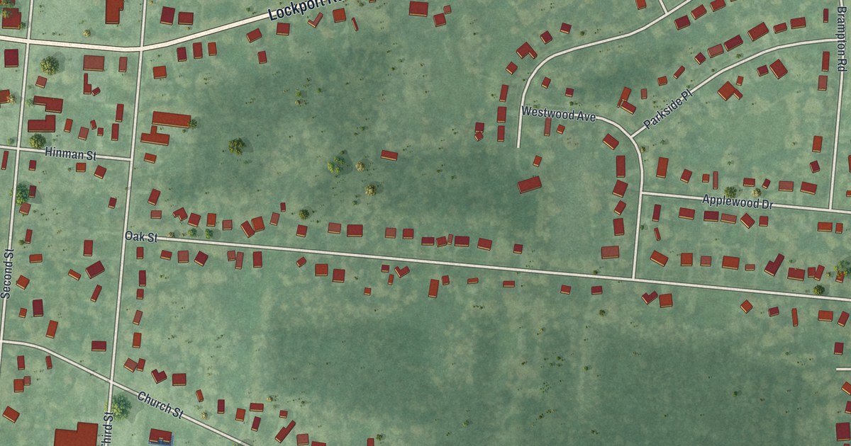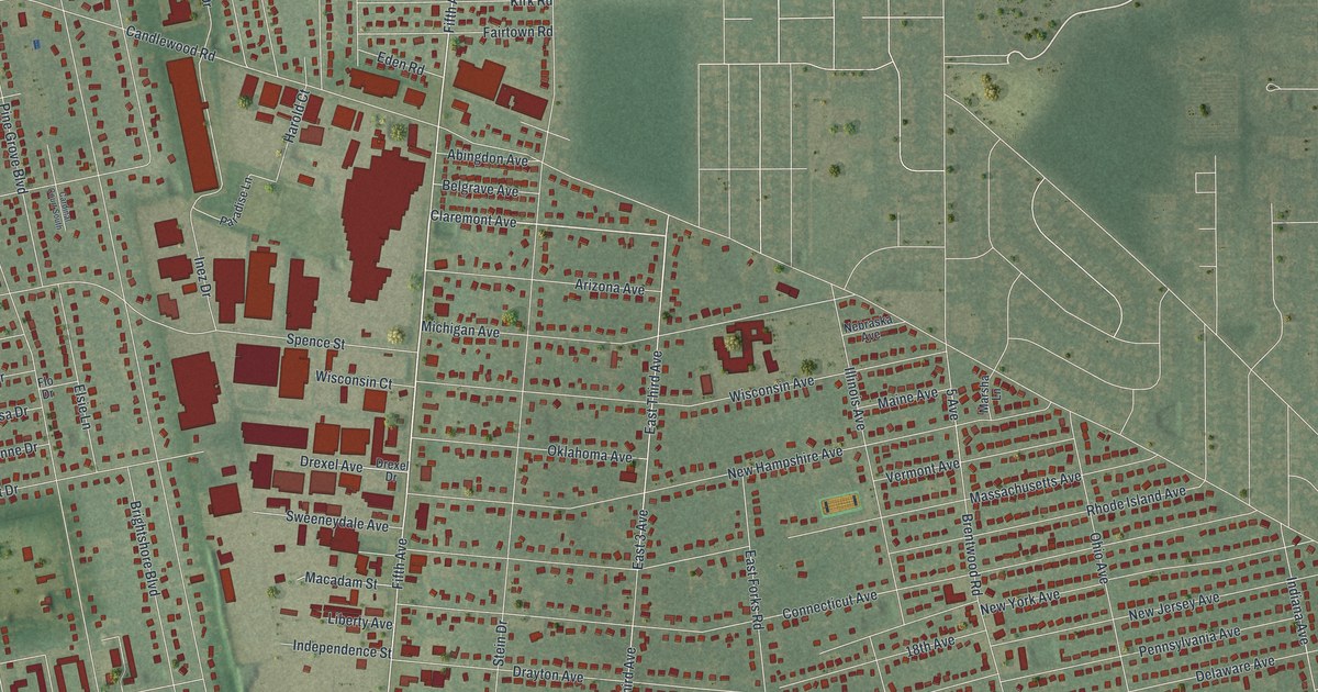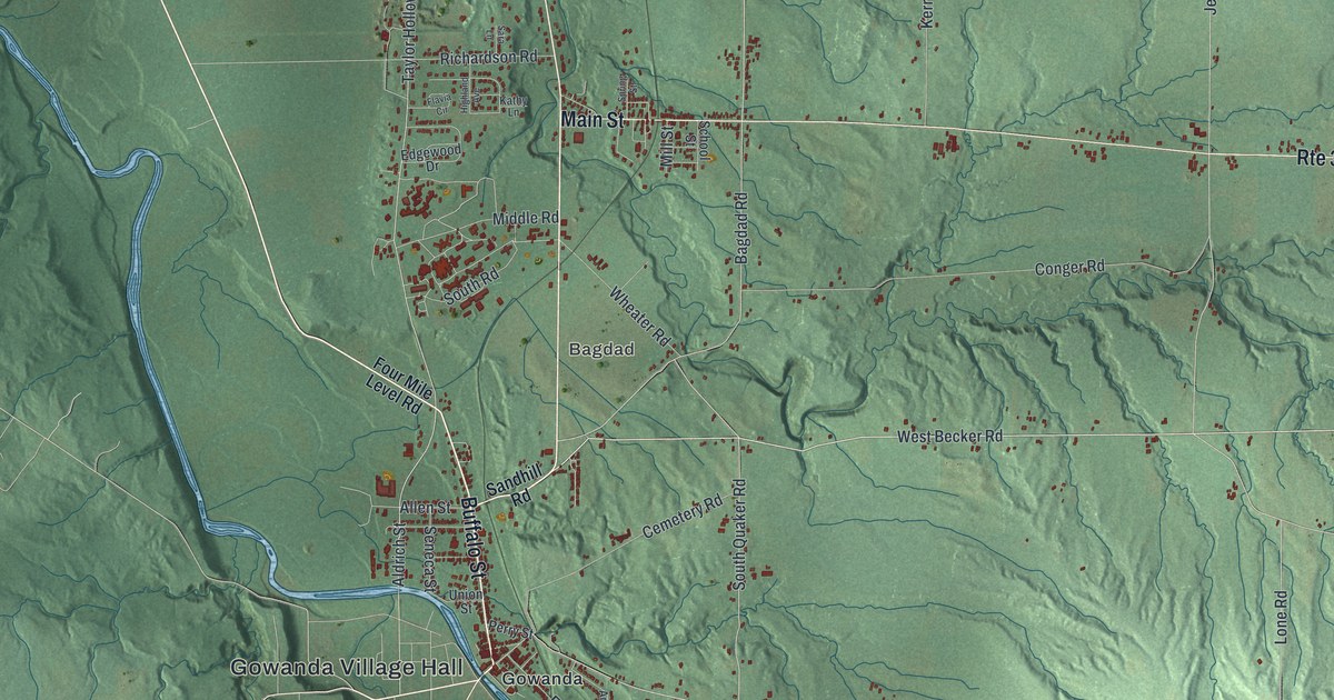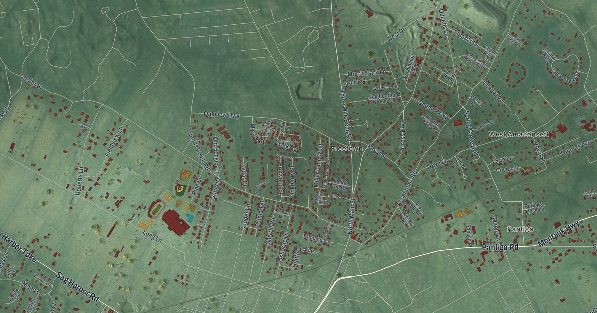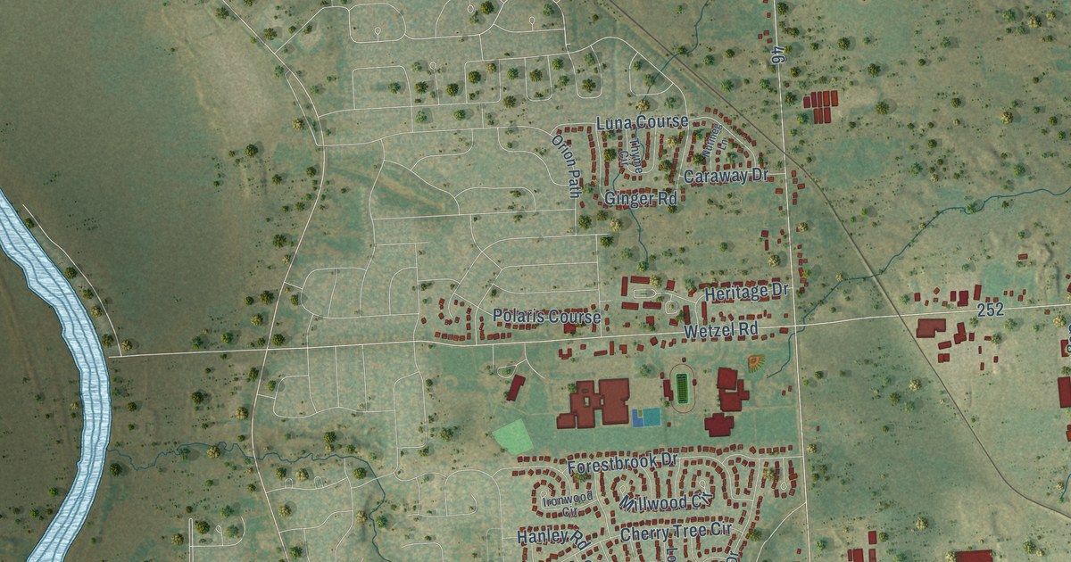
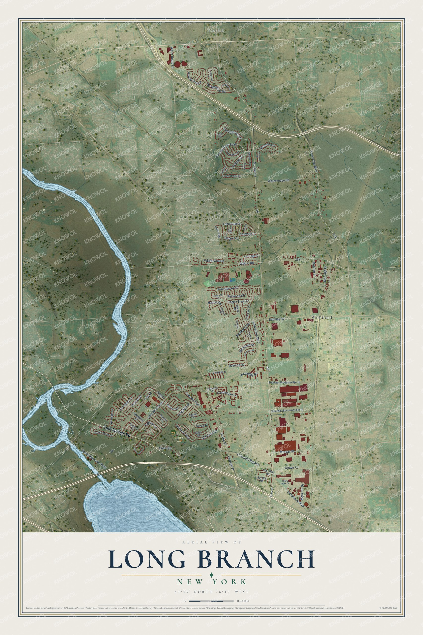
This beautifully detailed map of Long Branch, New York was created in 2026 using aerial imagery combined with modern topographical, census, street and landmark data. It’s a one-of-a-kind view of Long Branch that combines accurate data with a vintage aesthetic. The map shows every building in its true location, many of the roads carry their names, and the shaded topographic relief shows the shape of the land.
Explore an aerial view of Long Branch, New York
On the map you’ll find Duerr Park, Euclid, and Woodard, along with Cold Springs Road, Morgan Road, John Glenn Boulevard, Long Branch Road, Henry Clay Boulevard, Wetzel Road, Oswego Street, Buckley Road, Waterhouse Road, and more. If you look closely you can even find your house accurately drawn in its correct location. Zoom in on the preview to look for yours.
Did You Know?
From Internet Archive: "On reaching Sandy Hook the regiment left the boat and boarded the railroad train; passing the Highlands of Navesink and the summer resort of Seabright, Long Branch was soon reached."
Long Branch is a community in Onondaga County.
Take a closer look at the Long Branch map
Names on this map
These names are printed on this map.
Places: Duerr Park, Euclid and Woodard.
Streets and roads: Cold Springs Road, County Route 57, Morgan Road, John Glenn Boulevard, Long Branch Road, Henry Clay Boulevard, Wetzel Road, Oswego Street, Buckley Road, Waterhouse Road, Forestbrook Drive, Fairway Drive East.
More street names, A to Z
Amblewood Lane, Ardencrest Road, Baltic Drive, Barclay Road, Belmont Drive, Blueberry Road, Bordeaux Avenue, Candlelight Lane, Caraway Drive, Cherry Tree Circle, Commerce Boulevard, Cross Creek Drive, Crown Road, Dewline Road, Dorando Way, Duerr Road, Eastgate Circle, Fairway East, Gabion Way, Ginger Road, Glenburn Road, Goguen Drive, Greeley Circle, Green Acres Drive, Hanley Road, Heritage Drive, Hunting Creek Drive, Inglesid Lane, Ironwood Circle, Juanita Drive, Juneberry Lane, Kies Drive, Knowland Drive, Laurel Lane, Limetree Lane, Liverpool Bypass, Longdale Drive, Loveland Drive, Lowell Road, Luna Course, Maltlage Drive, Marlton Circle, McIntosh Street, Millstream Drive, Millwood Circle, Monarch Drive, Morgan Place, Moss Creek Circle, Norcross Drive, Nutmeg Lane, Office Park Drive, Old Cove Road, Old Meadow Road, Onondaga Lake Parkway, Orion Path, Piccadilly Square, Polaris Course, Poseidon Circle, Roberta Drive, Rocky Road, Saltwell Road, Sheridan Road, Steelway Boulevard North, Steelway Boulevard South, Sweetmill Lane, Tannis Terrace, Thyme Circle, Tommys Trail, Tree Line Drive, Trellis Brook Lane, Tulip Street, Water Board Lane, Westgate Lane, Whitman Way.
See it on a wall
The Long Branch map as a framed print. Swipe for more.


This beautifully detailed map of Long Branch makes an attractive addition to your office, library, or den, and it can even be used to teach children the geography and history of the area. It also makes a great gift for anyone with Long Branch roots. When you’re done exploring, click here to get your copy of the Long Branch map.