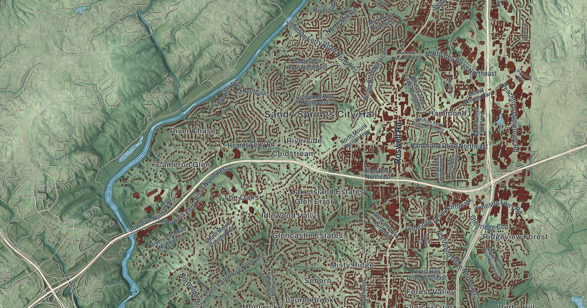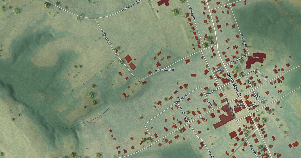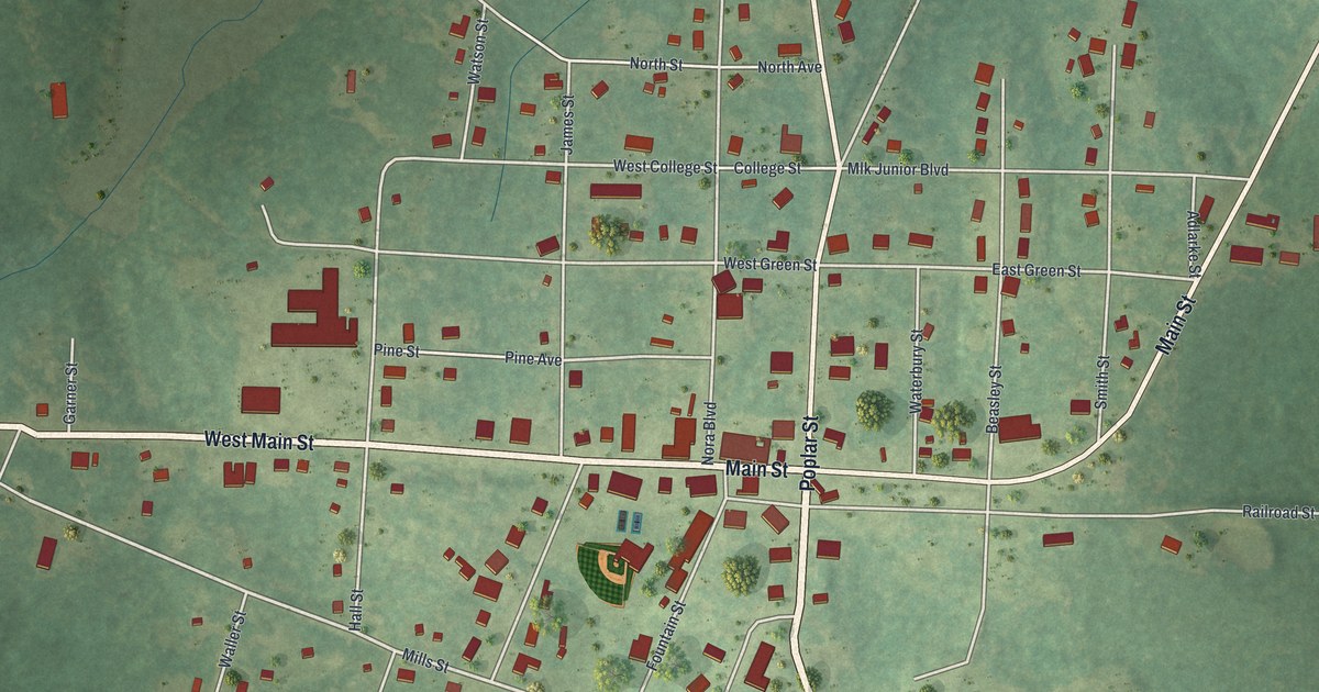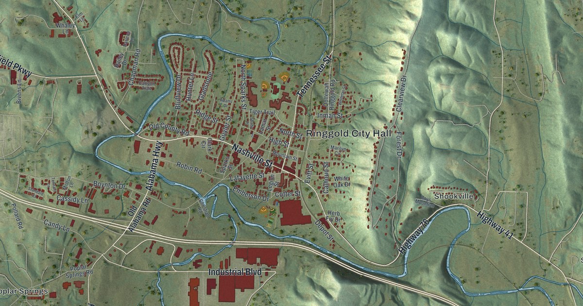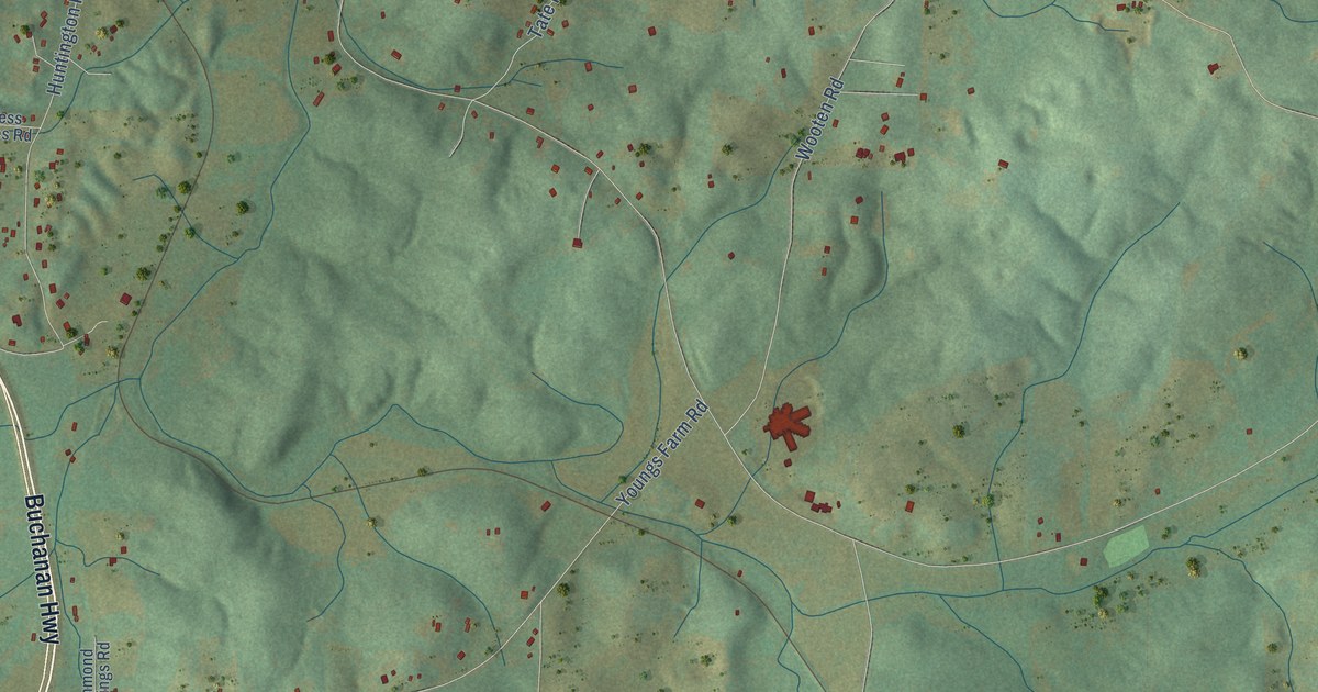
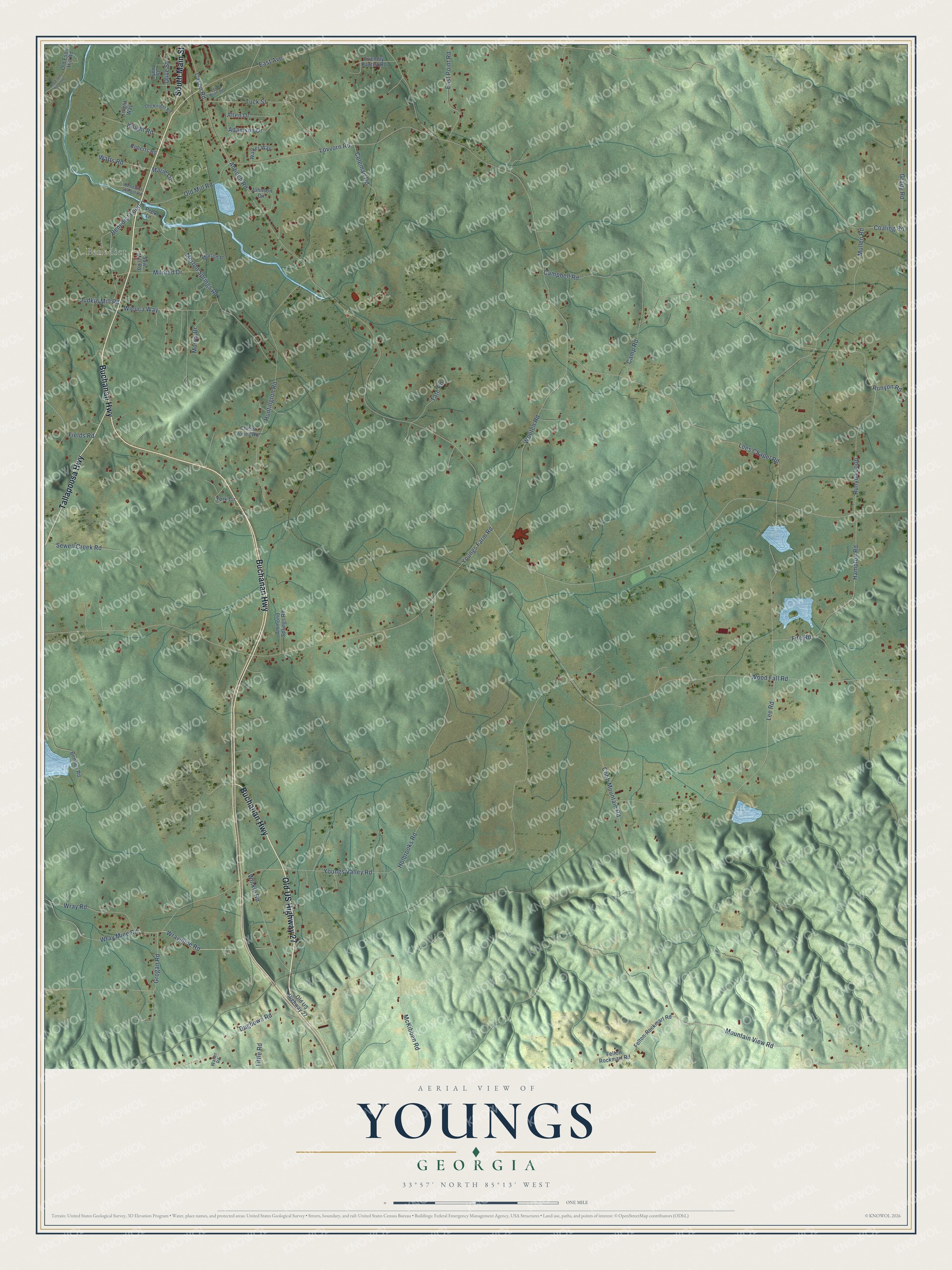
This beautifully detailed map of Youngs, Georgia was created in 2026 using aerial imagery combined with modern topographical, census, street and landmark data. It’s a one-of-a-kind view of Youngs that combines accurate data with a vintage aesthetic. The map shows every building in its true location, many of the roads carry their names, and the shaded topographic relief shows the shape of the land.
Explore an aerial view of Youngs, Georgia
On the map you’ll find Benedict, along with Buchanan Highway, Old US Highway 27, Tallapoosa Highway, South Main Street, Mountain View Road, Wray Road, Grogan Road, Antioch Road, Lees Chapel Road, Youngs Farm Road, Cobb Mountain Road, and more. If you look closely you can even find your house accurately drawn in its correct location. Zoom in on the preview to look for yours.
Did You Know?
From Internet Archive: "The old established families of the county include also: The Halls, the Carvers, the Fains, the Curtises, the Jenkinses, the Mathises, the Youngs, the Baughs, the Waldrops, the Kings, the Crawfords, the Princes, and the Clements."
Youngs is a community in Polk County.
Take a closer look at the Youngs map
Names on this map
These names are printed on this map.
Places: Benedict.
Streets and roads: Buchanan Highway, Old US Highway 27, Tallapoosa Highway, South Main Street, Mountain View Road, Wray Road, Grogan Road, Antioch Road, Lees Chapel Road, Youngs Farm Road, Cobb Mountain Road, Coaling Road.
More street names, A to Z
Adamson Drive, Allen Drive, Ammond Springs Road, Benedict Loop, Benedict School Road, Bentley Road, Campbell Road, Camp Road, Cason Road, Cason Road Spr, Chess Jones Road, Coleman Road, Dugdown Road, East Avenue, East Point Road, Felton-Rockmart Road, Felton Rockmart Road, Fields Road, Fite Road, Friendly Baptist Road, Grady Road, Hampton Road, Holbrooks Road, Huntington Road, Johnson Circle, Judkin Mill Road, Knight Road, Knight Way, Lee Road, Little Road, Lovvorn Road, Lynn Street, Marie Lane, McKibben Road, Mildred Drive, Morris Drive, Morton Place, Morton Springs Road, Mullen Road, Old Esom Hill Loop, Old Esom Hill Road, Old Knight Road, Old Mill Road, Olive Street, Peek Lane, Roberts Road, Runyon Loop, Runyon Road, Saw Mill Road, Sewell Creek Road, Tate Road, Tuck Street, Walker Way, Walter Road, Watts Road, Wieuca Way, Winkle Road, Wood Fall Road, Wooten Road, Wray Mine Road, Wraymine Road, York Circle, Youngs Valley Road.
See it on a wall
The Youngs map as a framed print. Swipe for more.


This beautifully detailed map of Youngs makes an attractive addition to your office, library, or den, and it can even be used to teach children the geography and history of the area. It also makes a great gift for someone who left Youngs and still calls it home. When you’re done exploring, click here to get your copy of the Youngs map.