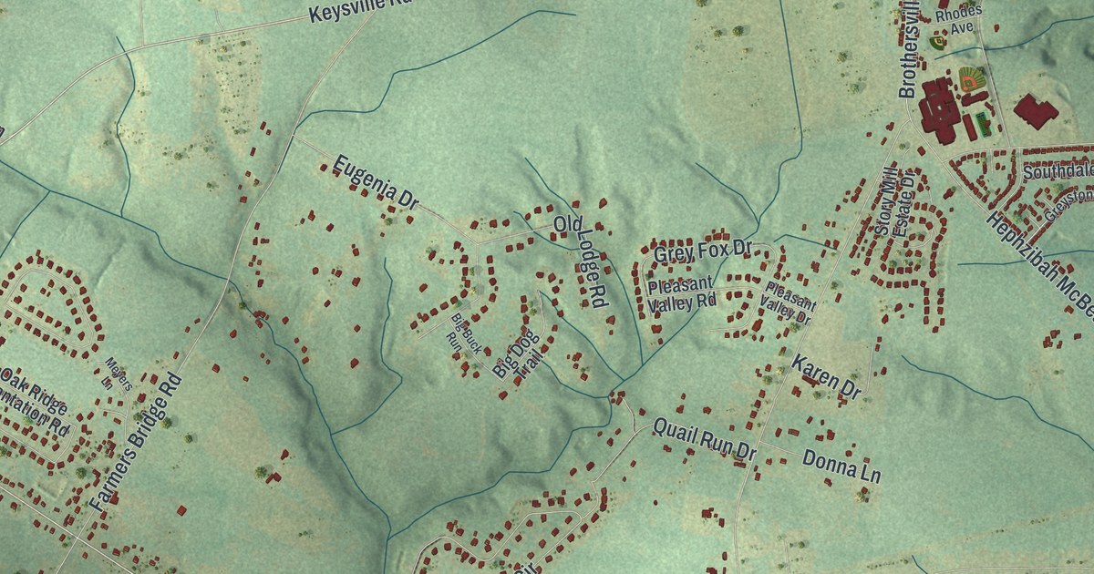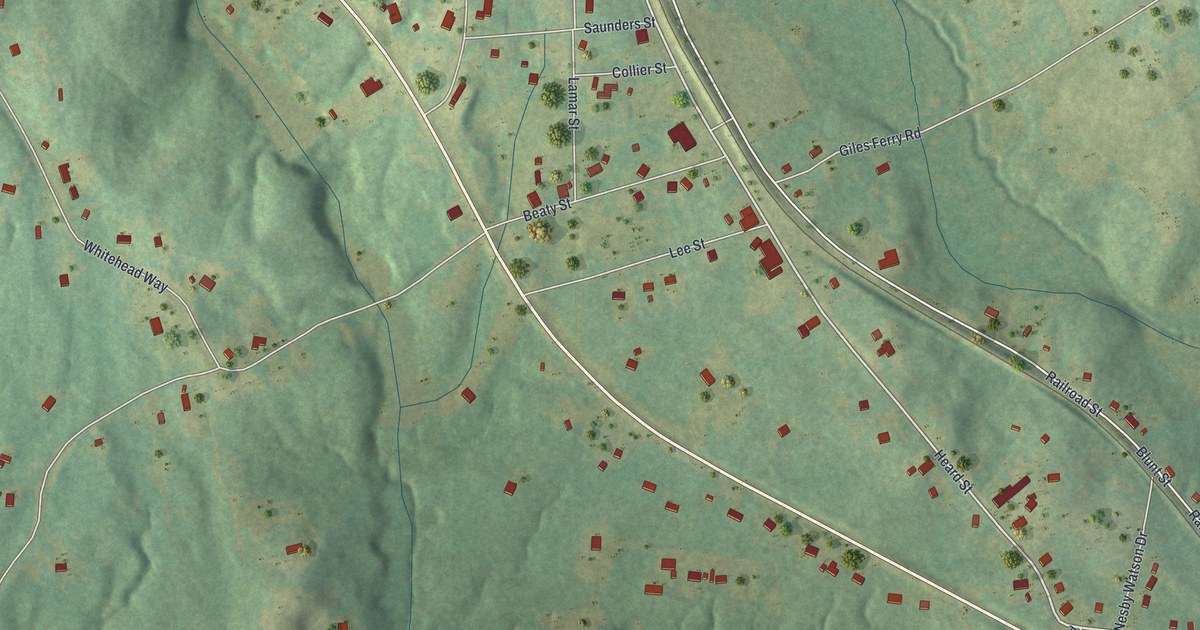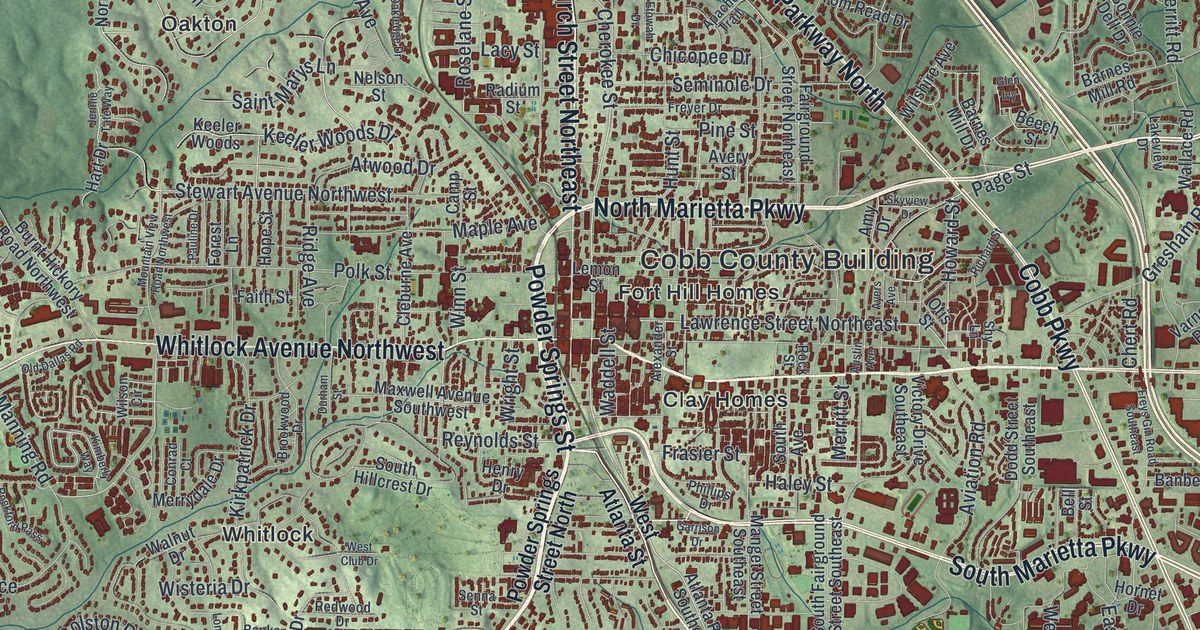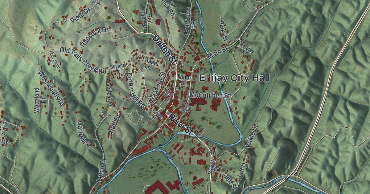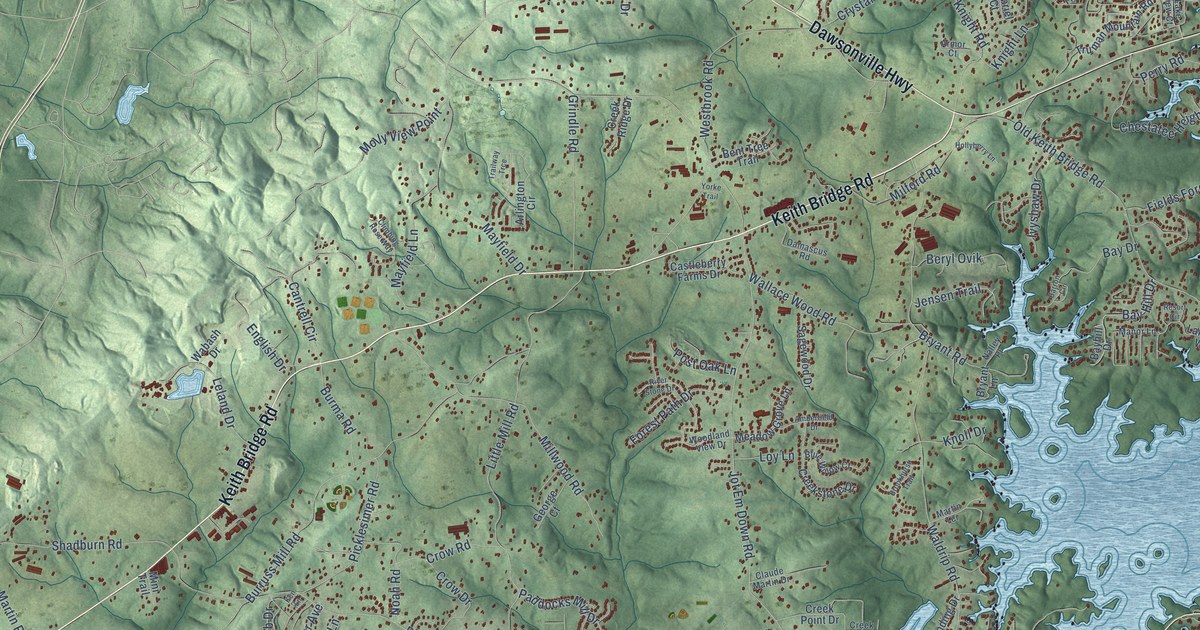
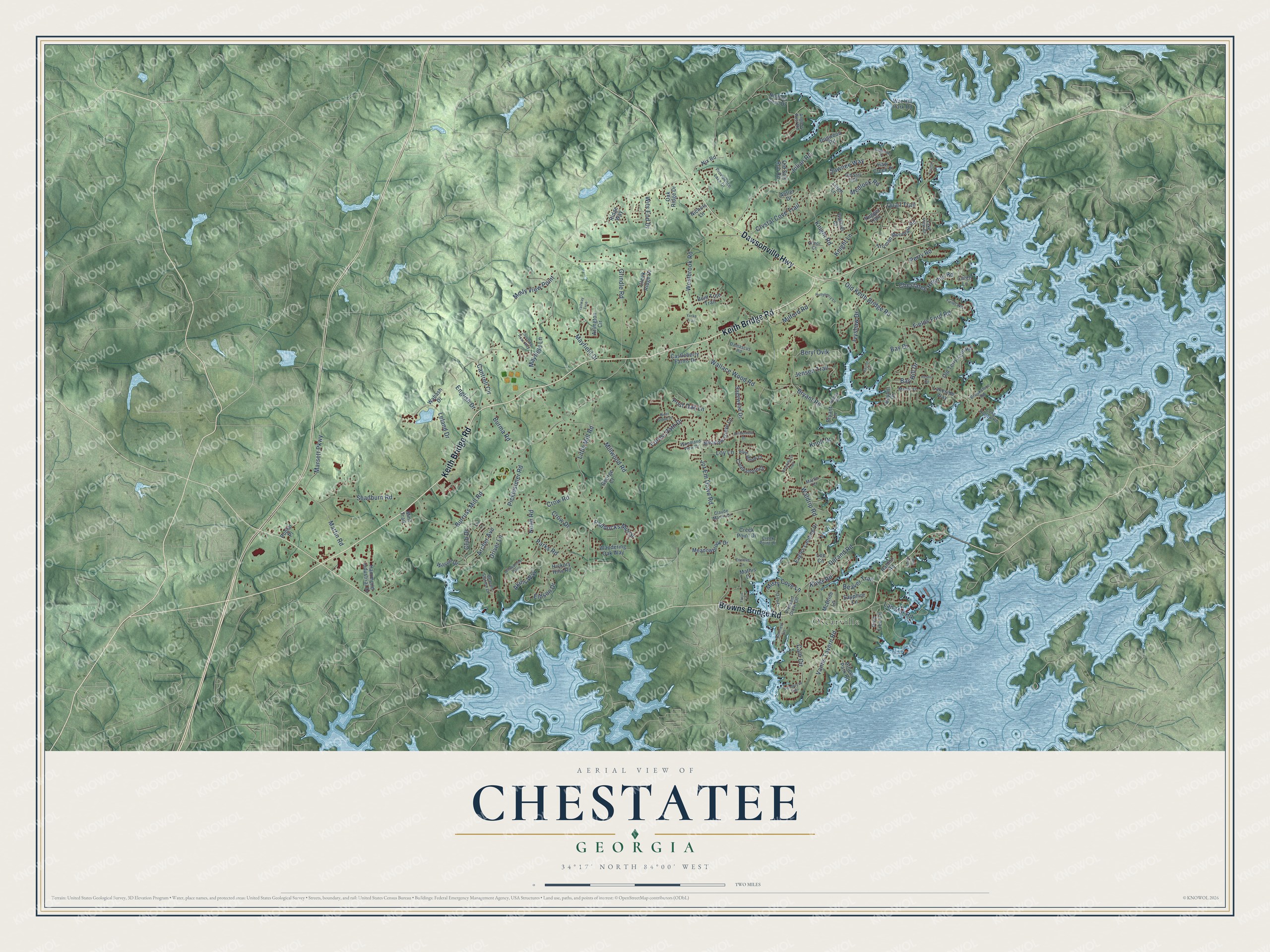
This beautifully detailed map of Chestatee, Georgia was created in 2026 using aerial imagery combined with modern topographical, census, street and landmark data. It’s a one-of-a-kind view of Chestatee that combines accurate data with a vintage aesthetic. The map shows every building in its true location, many of the roads carry their names, and the shaded topographic relief shows the shape of the land.
Explore an aerial view of Chestatee, Georgia
On the map you’ll find Oscarville, along with Keith Bridge Road, Browns Bridge Road, Dawsonville Highway, Waldrip Road, Quail Trail, Jot Em Down Road, Burruss Mill Road, Little Mill Road, Old Keith Bridge Road, Parks Road, Westbrook Road, and more. If you look closely you can even find your house accurately drawn in its correct location. Zoom in on the preview to look for yours.
Did You Know?
From Internet Archive: "In 1838, a branch of the United States Mint was established at Dahlonega, in Lumpkin county, at one of the most productive parts of the gold-belt, and near the Chestatee River."
Chestatee is a community in Forsyth County.
Take a closer look at the Chestatee map
Names on this map
These names are printed on this map.
Places: Oscarville.
Streets and roads: Keith Bridge Road, Browns Bridge Road, Dawsonville Highway, Waldrip Road, Quail Trail, Jot Em Down Road, Burruss Mill Road, Little Mill Road, Old Keith Bridge Road, Parks Road, Westbrook Road, Crystal Cove Trail.
More street names, A to Z
Akins Way, Amberfield Drive, Anglers Rest Road, Ann Harbor, Antler Drive, Archer Avenue, Arlington Circle, Armor Court, Athens Park Road, Barron Circle, Bay Drive, Bay Hill Drive, Bayhill Drive, Beacon Station Drive, Beaver Trail, Bennett Lane, Bent Tree Trail, Beryl Ovik, Blue Willow Court, Brookhurst Trail, Brookshire Road, Bryant Lane, Bryant Road, Burma Road, Cain Circle, Cantrell Circle, Castleberry Farms Drive, Chestatee Heights Road, Claude Martin Drive, Climbing Rose Way, Club Drive, Creek Point Drive, Creek Point Lane, Creek Ridge Drive, Creekstone Drive, Crow Drive, Crow Road, Damascus Road, Dogwood Road, Driver Lane, Durand Road, Eagles Landing Drive, Eidson Drive, Enclave Lane, English Drive, Fields Ford Road, Fields Way, Floyd Lane, Forest Path Drive, Gabriel Court, George Court, Grindle Road, Hammond Industrial Drive, Haw Creek Place, Hickory Hills Road, Hollyberry Lane, Ivyshaw Drive, Jensen Trail, Julian Road, Ken Lane, Kings Road, Knight Lane, Knight Road, Knoll Drive, Lakeside Place, Lakeside Way, Lake View Court, Lan Mar Road, Larch Lane, Lee Circle, Leigh Lane, Leland Drive, Long Hollow Road, Loy Lane, Lynn Drive, Manor Lane, Marsett Parkway, Martin Road, Martin Terrace, Mathis Drive, Mayfield Drive, Mayfield Lane, McBride Lane, Meadowbrook Drive, Meadow Grove Lane, Medlock Road, Milford Road, Millwood Road, Mini Trail, Misty Cove Lane, Molly View Point, Nalley Place, Nichols Cove Drive, Nichols Lane, Nix Road, Noah Road, Nugget Trail, Oak Ridge Drive, Old Still Run Road, Old Still Trail, Old Terry Ford Road, Paddocks Mill Drive, Perry Road, Picklesimer Road, Pine Tree Circle, Pleasant Grove Circle, Ponderosa Trail, Poplar Place, Post Oak Lane, Providence Lake Drive, Raldon Road, Resort Circle, Ridge Way, River Stone Drive, Sagewood Drive, Sapphire Lane, Sawnee Way, Shadburn Road, Trailway Trce, Truman Lane, Truman Mountain Road, Vanns Tavern Road, Wabash Drive, Wallace Wood Road, Wandering Oak Way, War Hill Park Road, Wilson Drive, Windjammer Point, Wits End Drive, Woodland View Drive, Yorke Trail.
See it on a wall
The Chestatee map as a framed print. Swipe for more.


This beautifully detailed map of Chestatee makes an attractive addition to your office, library, or den, and it can even be used to teach children the geography and history of the area. It also makes a great gift for someone who left Chestatee and still calls it home. When you’re done exploring, click here to get your copy of the Chestatee map.