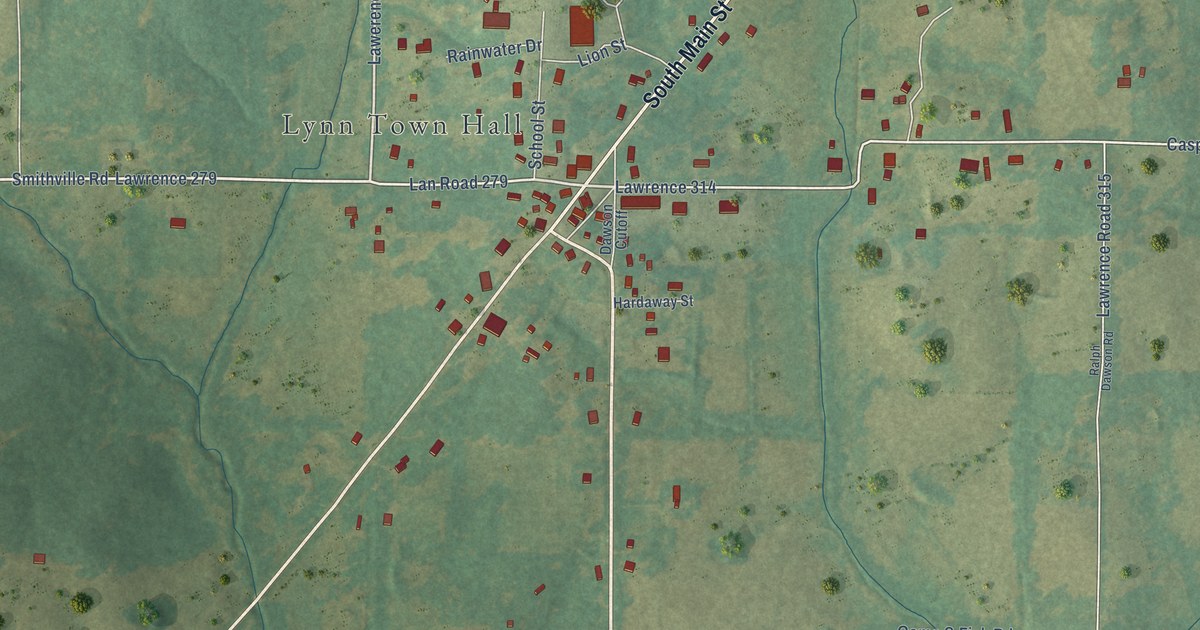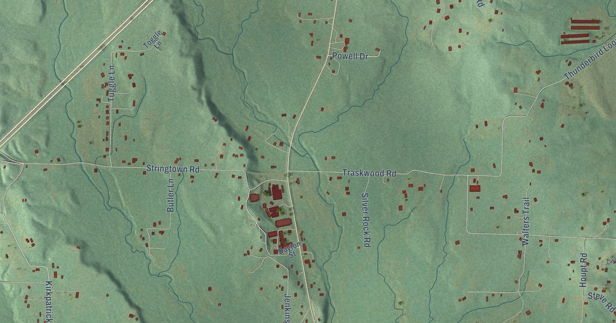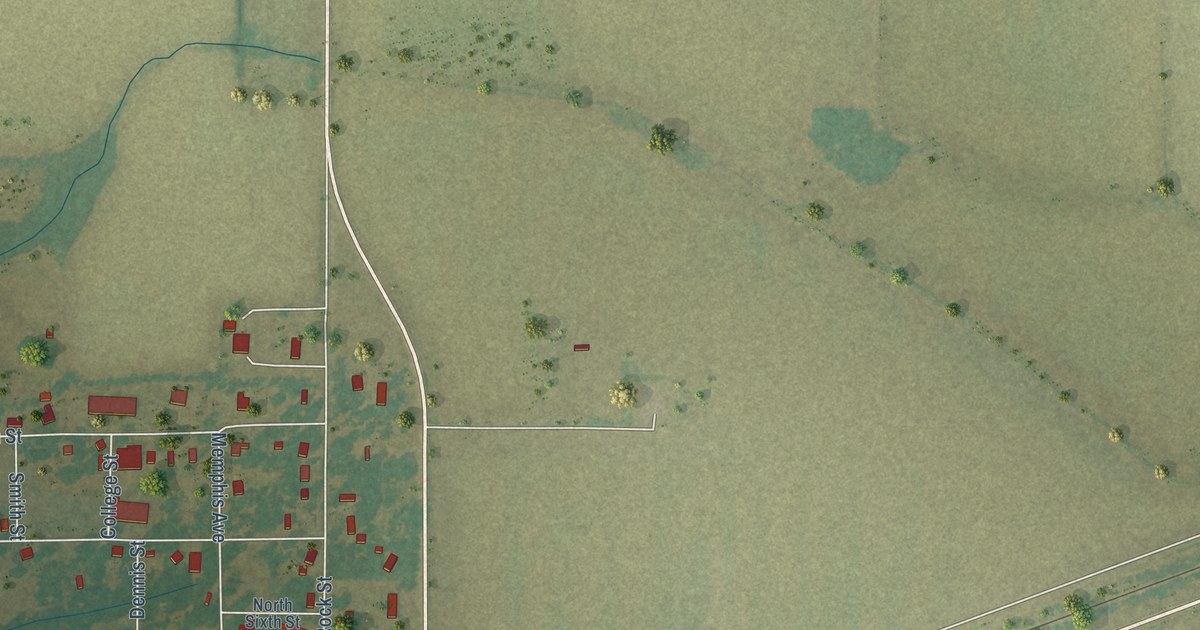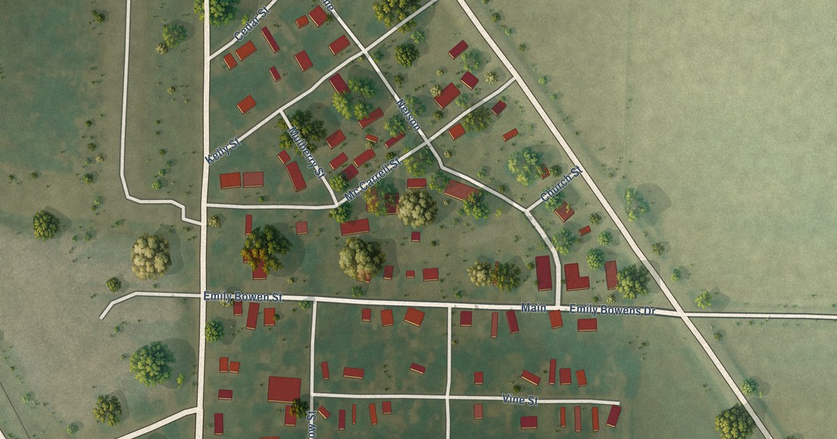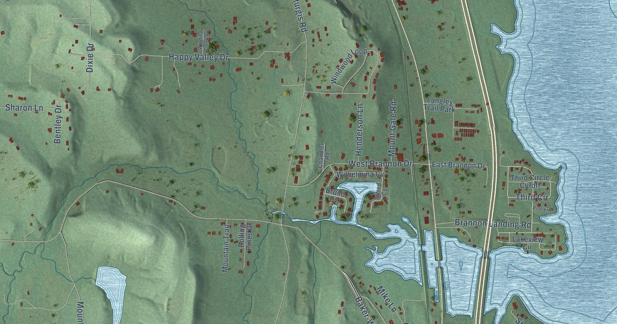
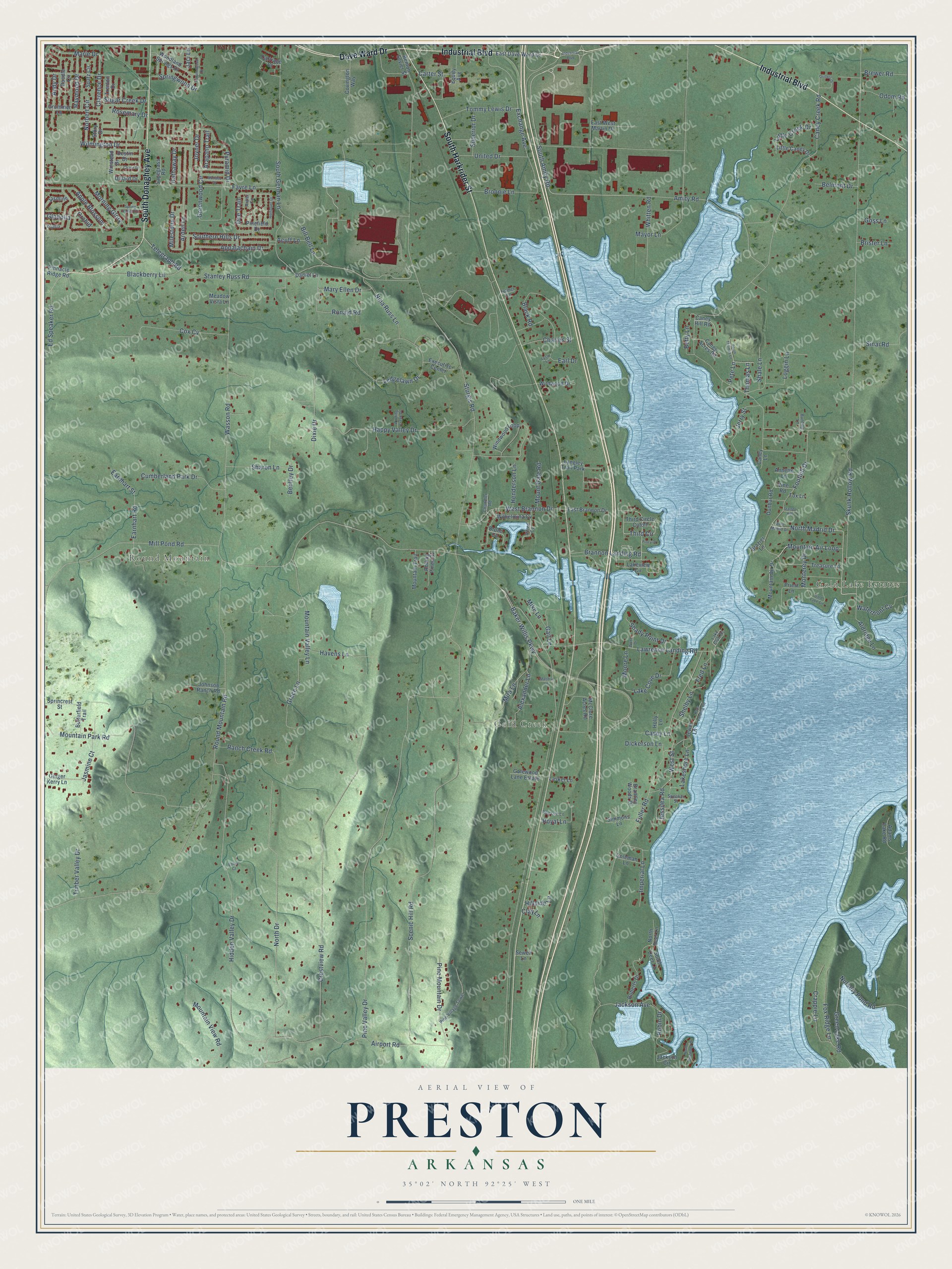
This beautifully detailed map of Preston, Arkansas was created in 2026 using aerial imagery combined with modern topographical, census, street and landmark data. It’s a one-of-a-kind view of Preston that combines accurate data with a vintage aesthetic. The map shows every building in its true location, many of the roads carry their names, and the shaded topographic relief shows the shape of the land.
Explore an aerial view of Preston, Arkansas
On the map you’ll find Gold Lake Estates, Round Mountain, and Gold Creek, along with Industrial Boulevard, South Harkrider Street, South Donaghey Avenue, Dave Ward Drive, Amity Road, Mountain Air Loop, Monterey Drive, South Amity Road, Brannon Landing Road, and more. If you look closely you can even find your house accurately drawn in its correct location. Zoom in on the preview to look for yours.
Did You Know?
From Internet Archive: "In 1914 Doctor Preston established the El Dorado Hospital, which in itself represents one of the most advanced stepe in behiU of medicine and surgery in 'the history of Butler County."
Preston is a community in Faulkner County.
Take a closer look at the Preston map
Names on this map
These names are printed on this map.
Places: Gold Lake Estates, Round Mountain, Gold Creek and Langley Trail Park.
Streets and roads: Industrial Boulevard, South Harkrider Street, South Donaghey Avenue, Dave Ward Drive, Amity Road, Mountain Air Loop, Monterey Drive, South Amity Road, Brannon Landing Road, Third Circle, Lawrence Landing Road, Sturgis Road.
More street names, A to Z
Acuff Lane, Adams Lake Road, Airport Road, Aldridge Lane, Alexander Lane, Alfred Cv, Andy Drive, Annette Lane, Antler Circle, Appalachain Drive, Apple Blossom, Arapaho Trail, Arden Lane, Autumnwood Drive, Baker-Willis Parkway, Belmont Drive, Bentley Drive, Benton Sevier Street, Betty Lane, Bill Bell Lane, Blackberry Lane, Black Road, Brantley Woods Drive, Brazier Lane, Brewer Road, Brister Lane, Bronnie Lane, Bruno Cv, Bunting Lane, Butterfield Trail, Caney Acres Road, Caney Creek Road, Caney Hill Road, Caney Lane, Carriage Court, Carter Street, Casey Lane, Chandler Road, Charles Street, Chase Drive, Clarence Drive, Clay Lane, Coleman Lane, Covington Way, Cox Cv, Crappie Lane, Crestview Road, Cumberland Park Drive, Daniel Lane, Destin Drive, Dickerson Lane, Dillard Drive, Dixie Drive, Doe Trail, Doodle Circle, Drillers Drive, Dunbar Road, Earl Drive, Earnhart Road, Earnhart Street, East Brannon Drive, East Dave Ward Drive, East West Martin Drive, Ed Speaker Road, Equity Avenue, Exchange Avenue, Executive Center, Favre Lane, Foothill Drive, Fox Lane, Fox Ridge Lane, Fred Lane, Fuller Road, Fulmer Lane, Gail Lane, Gatewood Lane Estate, Ginger Kerry Lane, Gladolia, Gold Lake Circle, Goss Lane, Grace Lane, Green Lake Road, Greenwood Circle, Grummer Lane, Happy Valley Drive, Hathaway Drive, Havens Lane, Henderson Lane, Hidden Valley Drive, Highpoint Drive, Hillside Lane, Holly Lane, Imperial Lane, Jaci Lane, Jackson Avenue, Jackson Circle, Jasmine, Jasmine Court, Jerry Street, Jessilea Road, Jewel Lane, Johnson Ranch Road, Joyner Drive, Kaps Landing Road, Lake Club Road, Lake Cove Drive, Lakeshore Lane, Lakeview Circle, Lasker Lane, Ledgelawn Drive, Little Caney Drive, Little Creek Drive, Loggin Lane, Lyssy Lane, Maltbia Lane, Marie Drive, Mary Ellen Drive, Mayor Lane, McClure Acres Road, Meadow Vista Lane, Mike Lane, Milestone Drive, Mill Pond Road, Mira Lane, Monaco Drive, Moore Lane, Morning Glory, Mountain Air Drive, Mountain Park Road, Mountain Trail, Mountain Valley Lane, Mountain View Road, Mount Gale Road, Nina Russ Lane, Norbert Circle, North Deer Lane, North Dogwood Drive, North Drive, North Madrid Drive, Nursery Pond Road, Odom Road, Orchid, Pete Lane, Pinefield Drive, Pine Mountain Drive, Pine Valley Drive, Pine Village Tower, Piney Drive, Pinnacle Ridge Road, Priest Lane, Pyramid Drive, Ranch Creek Road, Raymond Drive, Roberts Drive, Robin Drive, Rolling Pines Cv, Ronald Road, Rosemary Drive, Round Mountain Road, Royal Lane, Roy Lee Lane, Sagegrass Road, Scenic Hill Road, Sewell Lane, Shady Point Drive, Shale Lane, Sharon Lane, Shelby Lane, Simmons Lane, Sinai Road, Skunk Hollow Road, South Deer Lane, Southern Hills Drive, South German Lane, South Thomas Lane, Spatz Circle, Speaker Street, Sprincrest Street, Spring Valley Drive, Springwood Drive, Stanley Russ Road, Starter Hill, Story Drive, Sugar Creek Drive, Superior Drive, Telegraph Road, Third Circle Cutoff, Thomas Lane, Timber Valley Drive, Tommy Lewis Drive, Treasure Lane, Trenton Drive, United Drive, Valley Court, Vine Road, Wade Drive, Wasson Road, Waterfront Cv, West Brannon Drive, West Madrid Drive, West Street, Whitten Road, Wildwood Drive, Wilhelmina Cv, Wilmington Drive, Winding Creek Cv, Windwood Loop, Winstead Drive, Woodland Springs Drive, Zoysia.
See it on a wall
The Preston map as a framed print. Swipe for more.


This beautifully detailed map of Preston makes an attractive addition to your office, library, or den, and it can even be used to teach children the geography and history of the area. It also makes a great gift for anyone with Preston roots. When you’re done exploring, click here to get your copy of the Preston map.