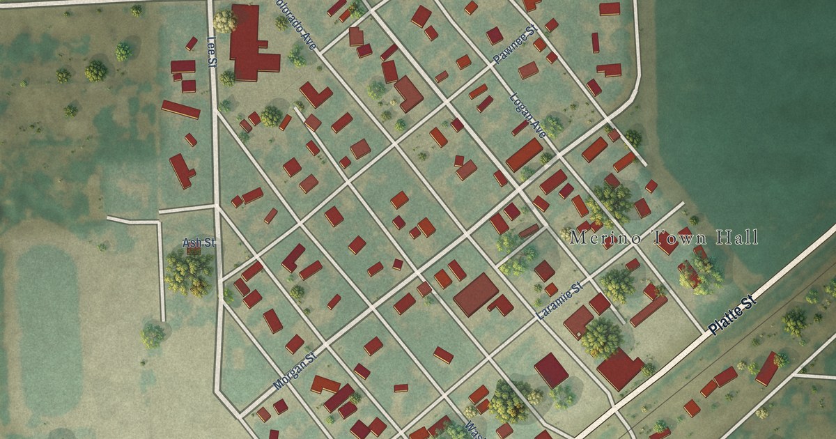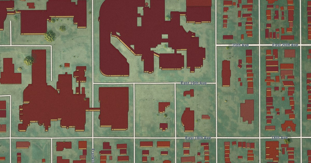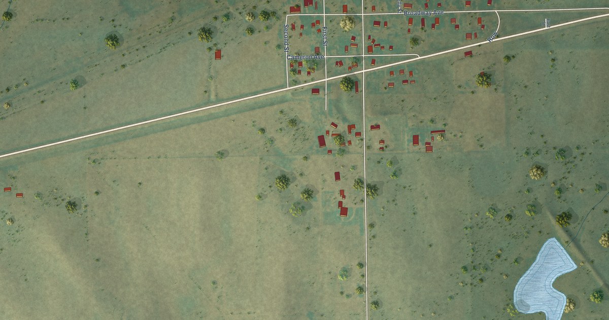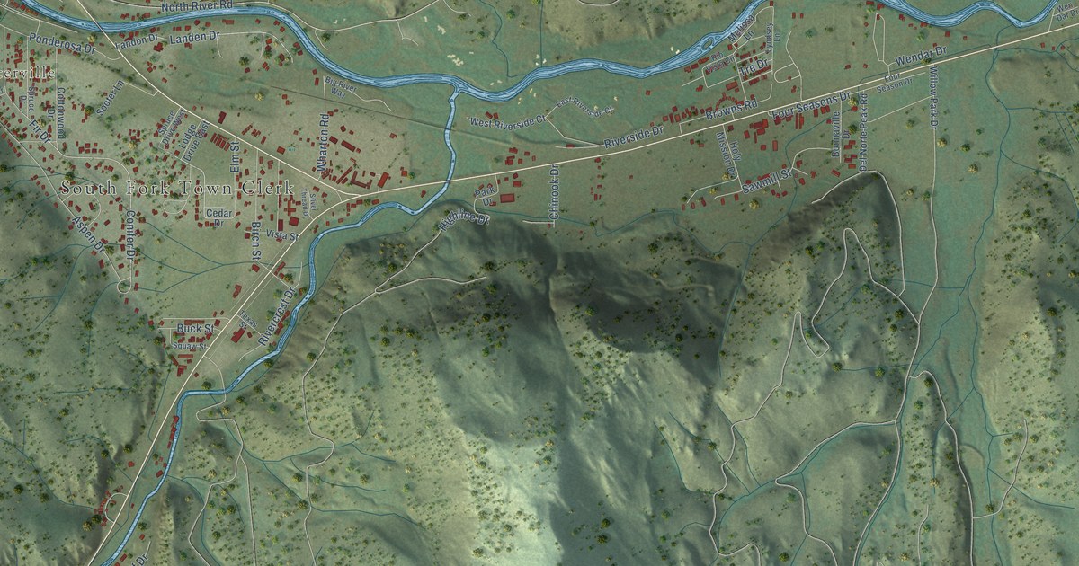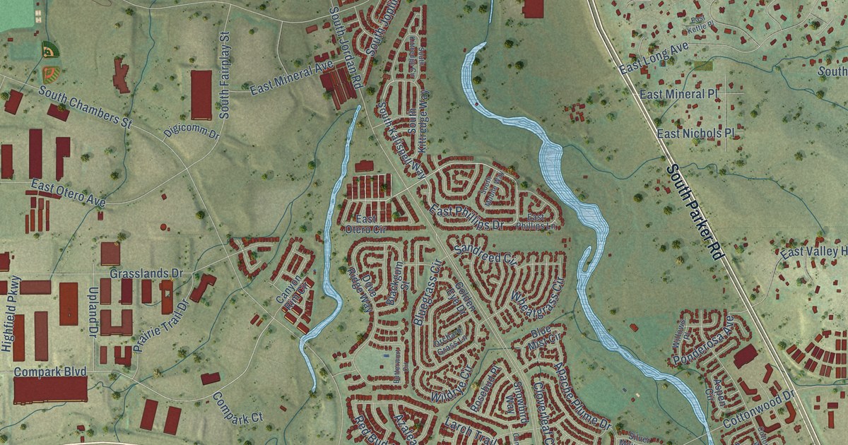
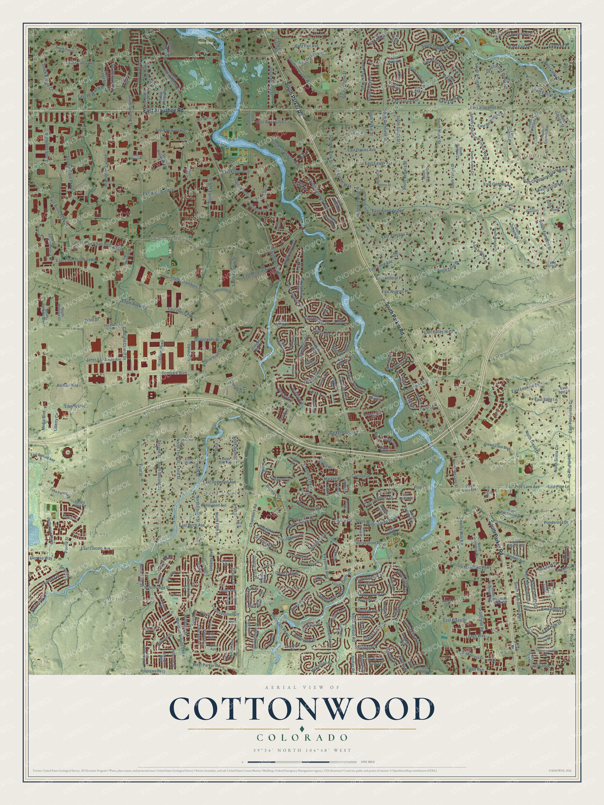
This beautifully detailed map of Cottonwood, Colorado was created in 2026 using aerial imagery combined with modern topographical, census, street and landmark data. It’s a one-of-a-kind view of Cottonwood that combines accurate data with a vintage aesthetic. The map shows every building in its true location, many of the roads carry their names, and the shaded topographic relief shows the shape of the land.
Explore an aerial view of Cottonwood, Colorado
On the map you’ll find Chapparal, Meridian Village, Vista Pointe, Bow Tie Open Space, Dove Valley, Stonegate, Foxfield, Grand View Estates, and Sierra Ridge, along with South Parker Road, East Arapahoe Road, East Otero Avenue, and more. If you look closely you can even find your house accurately drawn in its correct location. Zoom in on the preview to look for yours.
Did You Know?
From Internet Archive: "Jesse Frazer, from Mo., settled in the spring of 1860 on the Arkansas, 8 miles below Cation City, and was the first to turn a furrow in that region, which he did with a forked Cottonwood limb."
Cottonwood is a community in Douglas County.
Take a closer look at the Cottonwood map
Names on this map
These names are printed on this map.
Places: Chapparal, Meridian Village, Vista Pointe, Bow Tie Open Space, Dove Valley, Stonegate, Foxfield, Grand View Estates and Sierra Ridge.
Streets and roads: South Parker Road, East Arapahoe Road, East Otero Avenue, Longs Way, East Pine Lane, East Pine Lane Avenue, South Norfolk Street, East Phillips Drive, Pine Lane, Lincoln Meadows Parkway, Compark Boulevard, South Sedalia Street.
More street names, A to Z
Alzere Place, Amberstone Way, Amethyst Way, Apache Drive, Apache Plume Drive, Ashbury Lane, Ashgrove Circle, Ashgrove Drive, Aspen Circle, Atlanta Street, Aventerra Parkway, Aviator Way, Azalea Avenue, Ball Park Road, Barrentine Loop, Baxter Drive, Becket Drive, Birch Avenue, Birch Run Lane, Blackgum Street, Bluegrass Circle, Blue Mist Circle, Boca Circle, Branham Drive, Bristleridge Street, Butterwort Circle, Canyon Rim Circle, Caracas Avenue, Carlson Drive, Casper Street, Centennial Drive, Centre Circle, Centre Drive, Chambers Road, Chicago Street, Clarke Farms Drive, Clarkeville Way, Cloverleaf Circle, Colony Loop, Compark Court, Concolor Lane, Concord Center Drive, Cornerstone Drive, Cornerstone Lane, Cosmopolitan Circle, Cottonwood Drive, Cottonwood Way, Creekview Drive, Crestrock Circle, Crown Crest Boulevard, Deer Horn Court, Delhi Avenue, Dewey Street, Digicomm Drive, Dove Ridge Way, Dransfeldt Road, Eagle Rock Road, East Adam Aircraft Circle, East Alcorn Avenue, East Baldwin Avenue, East Belford Avenue, East Birch Avenue, East Blue Jay Drive, East Briargate Lane, East Briarwood Avenue, East Briarwood Circle, East Briarwood Drive, East Broncos Parkway, East Caley Avenue, East Caley Drive, East Caley Lane, East Caley Place, East Control Tower Road, East Costilla Place, East Cottonwood Avenue, East County Line Road, East Davies Avenue, East Davies Drive, East Davies Place, East Dewberry Circle, East Dewberry Drive, East Dogwood Avenue, East Easter Avenue, East Easter Way, East Elm Avenue, East Euclid Avenue, East Euclid Drive, East Euclid Place, East Fair Avenue, East Fair Drive, East Fair Place, East Filbert Avenue, East Fremont Avenue, East Fremont Drive, East Geddes Avenue, East Geddes Drive, East Geddes Place, East Hills Drive, East Hinsdale Avenue, East Hinsdale Circle, East Hinsdale Drive, East Hinsdale Lane, East Hinsdale Place, East Hinsdale Way, East Jamison Avenue, East Jamison Court, East Jamison Place, East Kettle Place, East Laurel Street, East Lincoln Avenue, East Long Avenue, East Long Place, East Lookout Drive, East Lupine Drive, East Mainstreet, East Maplewood Drive, East Maplewood Place, East Mineral Avenue, East Mineral Place, East Nichols Place, East Oakwood Drive, East Otero Circle, East Peakview Avenue, East Peakview Place, East Phillips Lane, East Plaza Drive, East Ponderosa Circle, East Ponderosa Drive, East Rustic Drive, East Sage Lane, East Spur Lane, East Valley Hi Drive, East Weaver Avenue, East Weaver Drive, East Weaver Place, East Wiley Place, Elm Avenue, Fifth Street, First Street, Fisher Drive, Flagler Drive, Forest Lake Road, Fourth Street, Glenayre Circle, Golden Eye Drive, Granite Hill Drive, Grasslands Drive, Greenfield Circle, Greenfield Loop, Greenstone Circle, Greenstone Lane, Harrisburg Street, Haseley Drive, Hawkstone Place, Hedgeway Drive, Helsinki Street, Highfield Parkway, Hillrose Drive, Hillrose Street, Hollyridge Drive, Holyoke Drive, Hough Point, Isbill Drive, Isle Circle, Isle Lane, Isle Street, Jakarta Circle, James East Casey Avenue, Jefferson Parkway, Jordan Court, Jordan Road, Kenneth Drive, Keystone Boulevard, Keystone Trail, Kimball Street, Knollside Avenue, Konstanz Street, Lake Forest Road, Lamar Drive, Lanceleaf Street, Larch Trail, Lexington Way, Liberty Boulevard, Liberty Circle, Lioness Way, Longford Drive, Longpark Drive, Longstone Drive, Marcott Street, Market Drive, Market Street, McClellan Road, Media Boulevard, Meridian Village Parkway, Mica Place, Mica Way, Moorside Drive, Mountain Man Drive, Munich Avenue, Nadine Avenue, Nature Walk Trail, North Dixon Drive, North Donley Drive, North Dransfeldt Road, North Fifth Street, North First Street, North Fourth Street, North Hot Springs Drive, North Jordan Road, North Pine Drive, North Pine Lane Street, North Second Street, North Settlers Drive, North Sierra Circle, North Sixth Street, North Third Street, Nottingham Drive, Numa Place, Oakmoor Lane, Opal Hill Drive, Orchard Grass Lane, Oslo Avenue, Parkerhouse Road, Parker Road, Parkside Drive, Pearl Street, Peoria Circle, Peoria Street, Pine Drive, Pine Lane Avenue, Ponderosa Avenue, Ponderosa Drive, Pony Express Drive, Prairie Trail Drive, Prickly Pear Circle, Quarry Hill Drive, Quarry Hill Place, Recreation Drive, Red Bud Drive, Red Bud Street, Ridgegate Parkway, Riverstone Drive, Rock Crystal Drive, Rockmont Lane, Rosebud Place, Rosewood Court, Rowlock Way, Rustic Drive, Rutledge Street, Sandreed Circle, Second Street, Sedgewick Way, Sequoia Drive, Severance Drive, Severn Lane, Shenstone Drive, Silver Mound Lane, Sixth Street, Snowbird Way, South Abilene Street, South Abilene Way, South Alyssum, South Andes Circle, South Andes Place, South Argonne Street, South Atchison Street, South Billings Way, South Biscay Street, South Blackhawk Street, South Blackhawk Way, South Buckley Road, South Carson Street, South Cathay Court, South Chambers Street, South Chambers Way, South Chapparal Circle East, South Chapparal Circle West, South Cherokee Trail, South Coltsfoot Drive, South Dawson Circle, South Dillon Court, South Dunkirk Street, South Eagle Street, South Ensenada Street, South Espana Way, South Fairplay Street, South Flanders Street, South Fraser Street, South Genoa Circle, South Gibraltar Street, South Hannibal Street, South Helena Street, South Interport Boulevard, South Jasper Way, South Joplin Court, South Jordan Road, South Kalispell Way, South Kittredge Circle, South Kittredge Way, South Lewiston Way, South Memphis Street, South Mobile Way, South Nucla Street, South Olathe Street, South Ouray Street, South Ouray Way, South Park Glenn Way, South Peoria Street, South Piney Creek Circle, South Pitkin Court, South Pitkin Street, South Potomac Street, South Progress Way, South Quentin Street, South Quintero Street, South Racine Circle, South Revere Parkway, South Richfield Street, South Rifle Street, South Rifle Way, South Salida Street, South Telluride Street, South Tower Road, South Troy Circle, South Tucson Way, South Uravan Court, South Uvalda Street, South Vaughn Street, South Waco Street, South Walden Street, South Walden Way, South Wallace Court, South Wheeling Court, South Wintergreen Parkway, South Xanadu Way, South Yampa Court, South Yampa Street, South Zeno Street, Stage Run, Stonebriar Drive, Stoneflower Drive, Stonegate Parkway, Stone Ledge Drive, Stonemeadow Drive, Stonewillow Drive, Swansea Drive, Third Street, Torino Avenue, Twenty Mile Road, Upland Drive, Urbana Boulevard, Venture Drive, Victorian Drive, Vienna Circle, Vienna Street, Village Center Drive, Waterhouse Circle, Wellington Drive, West Parker Road, Wheatgrass Circle, White Pine Drive, Wilde Avenue, Wildrye Circle, Willows Place, Willowstone Street, Winterflower Way, Worthington Circle, Wray Court.
See it on a wall
The Cottonwood map as a framed print. Swipe for more.


This beautifully detailed map of Cottonwood makes an attractive addition to your office, library, or den, and it can even be used to teach children the geography and history of the area. It also makes a great gift for someone who left Cottonwood and still calls it home. When you’re done exploring, click here to get your copy of the Cottonwood map.