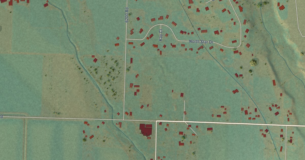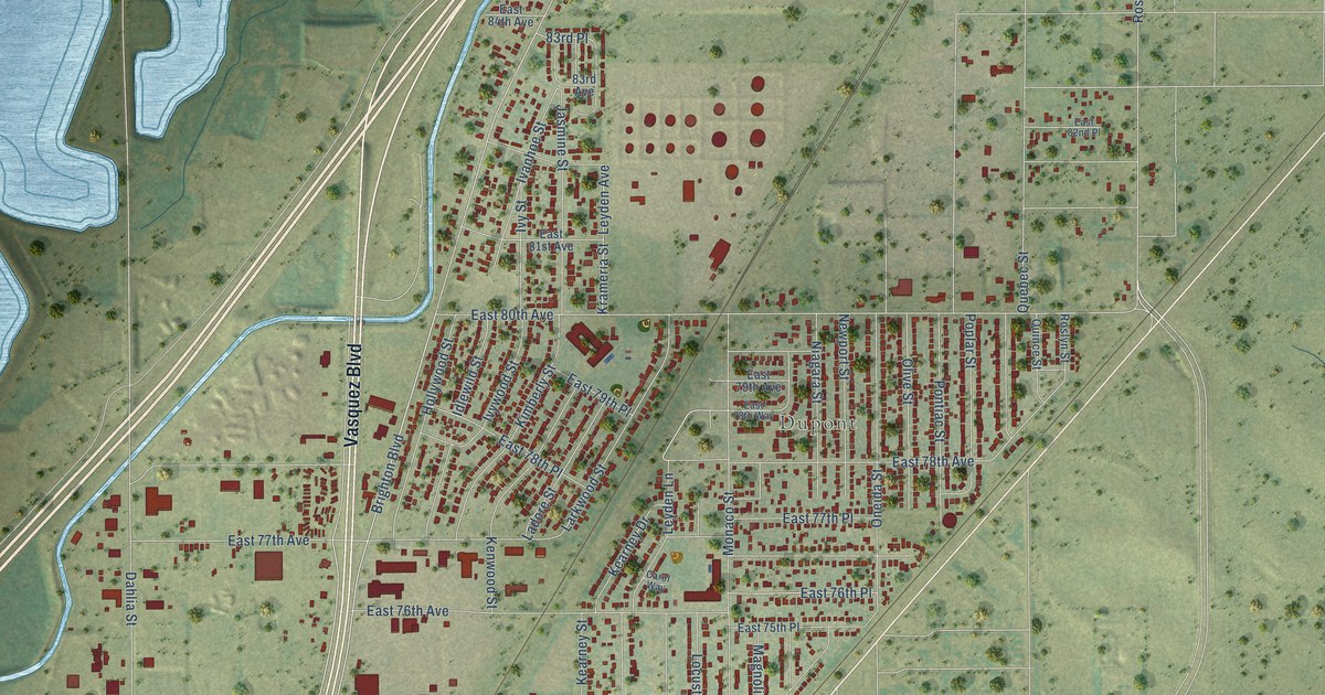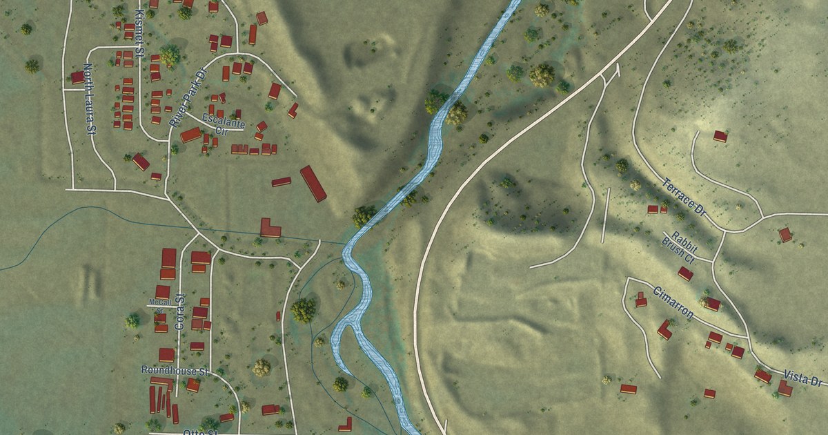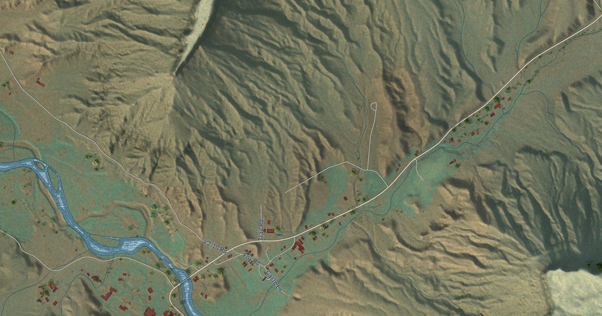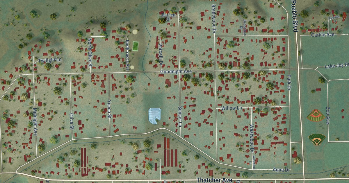
This beautifully detailed map of Goodnight, Colorado was created in 2026 using aerial imagery combined with modern topographical, census, street and landmark data. It’s a one-of-a-kind view of Goodnight that combines accurate data with a vintage aesthetic. The map shows every building in its true location, many of the roads carry their names, and the shaded topographic relief shows the shape of the land.
Explore an aerial view of Goodnight, Colorado
On the map you’ll find City Park and Elmwood Golf Course, along with Thatcher Avenue, North Pueblo Boulevard, South Pueblo Boulevard, Goodnight Avenue, West Eighth Street, Pritz Road, West Tenth Street, Nuckolls Avenue, Old West Tenth Street, Aqua Drive, and more. If you look closely you can even find your house accurately drawn in its correct location. Zoom in on the preview to look for yours.
Did You Know?
From Internet Archive: "The Stockgrowers’ National Bank was established as a private bank in 1873 by Goodnight, Cresswell & Co., prominent stockmen of Colorado."
Goodnight is a community in Pueblo County.
Take a closer look at the Goodnight map
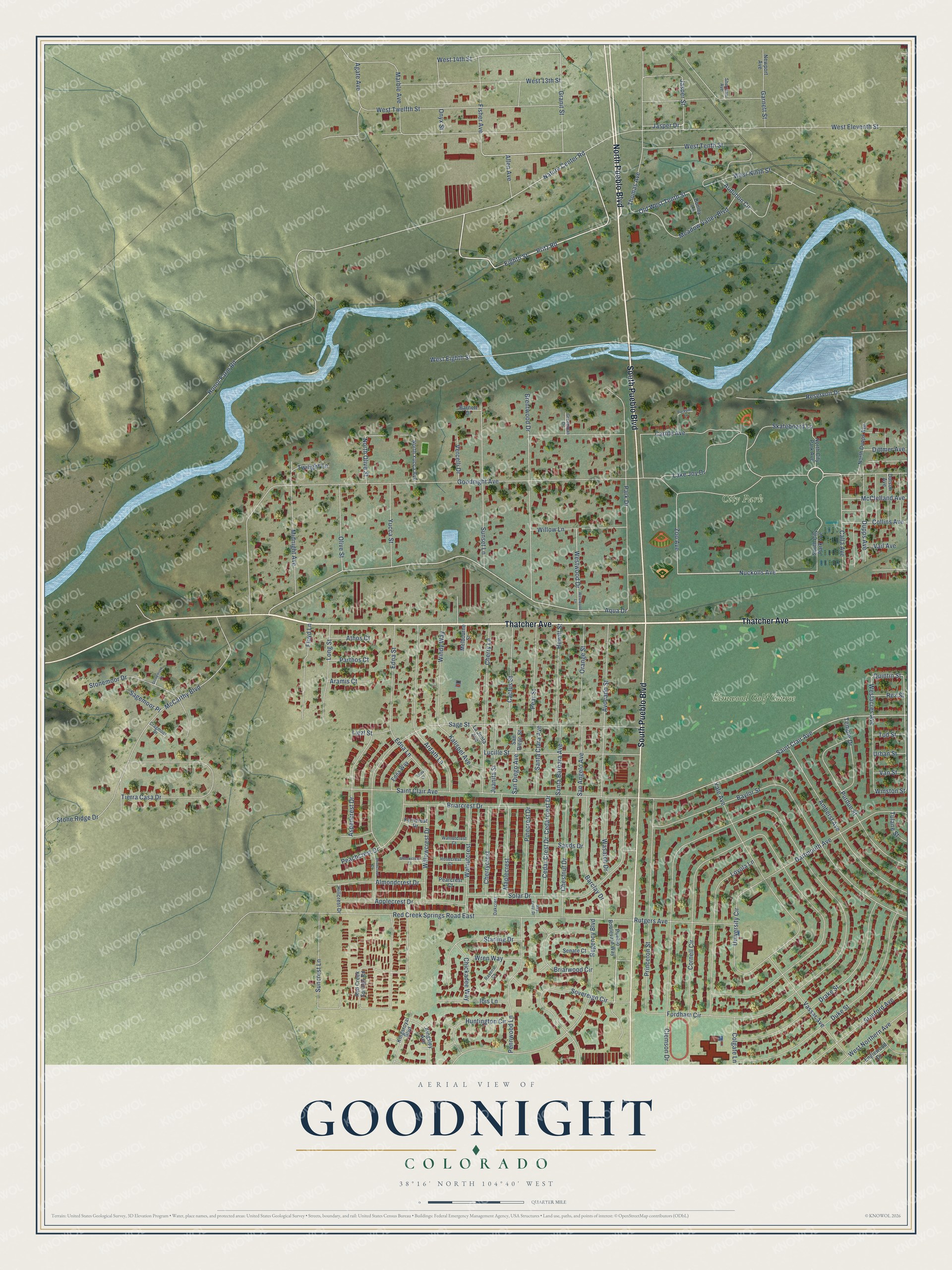
Names on this map
These names are printed on this map.
Places: City Park and Elmwood Golf Course.
Streets and roads: Thatcher Avenue, North Pueblo Boulevard, South Pueblo Boulevard, Goodnight Avenue, West Eighth Street, Pritz Road, West Tenth Street, Nuckolls Avenue, Old West Tenth Street, Aqua Drive, Nature Center Road, West 14th Street.
More street names, A to Z
Agate Avenue, Allen Avenue, Almondcrest Drive, Amherst Avenue, Applecrest Drive, Aramis Court, Ardath Lane, Aspencrest Drive, Athos Court, Audubon Circle, Avocado Street, Barclay Drive, Barnett Drive, Bay Crest Drive, Baylor Street, Brentwood Drive, Briarcrest Drive, Briarwood Circle, Cactus Street, Calla Avenue, Carlile Avenue, Cedar Crest Drive, Cedarcrest Drive, Cherrycrest, Cherry Lane, Chestnut Drive, Chickadee Way, Clemson Drive, Colgate Lane, Collins Avenue, Cornell Circle, Cragmoor Drive, Dartmouth Avenue, Dittmer Avenue, Donley Lane, Dotson Avenue, Drake Street, Duke Street, Dupps Avenue, Edna Court, Edna Lane, Edna Street, Edna Way, Eighth Street, Englewood Drive, Ferncrest Drive, Fisher Avenue, Floyd Lane, Fordham Circle, Garnett Street, Granit Street, Greenman Drive, Hewitt Street, Hillcrest Drive, Honor Farm Road, Huntington Circle, Ibis Lane, Jasper Drive, Jasper Street, Juanita Street, Kalispel Avenue, Kingsley Avenue, Kingsroyal Boulevard, La Junta Avenue, Lake Joy Drive, Liezl Street, Long Street, Loyola Lane, Lucille Street, Maplecrest, Marble Avenue, McCarthy Boulevard, McClelland Avenue, Meadow Valley Boulevard, Melbourne Street, Midnight Avenue, Newport Avenue, North City Park Avenue, North Dupps Avenue, North Olive Street, North Yucca Avenue, Oakcrest, Olivecrest Drive, Olive Street, Onyx Street, Orange Street, Park Drive, Parkside Lane, Parthos Court, Peachcrest Drive, Pearcrest Court, Pear Street, Pennwood Lane, Pinecrest Drive, Princeton Street, Pueblo Boulevard Way, Purdue Street, Quintin Street, Ravens Court, Red Creek Springs Road, Red Creek Springs Road East, Regency Boulevard, Reservoir Drive, Rex Street, Rosecrest Court, Rutgers Avenue, Sagemoor Place, Sage Street, Saint Clair Avenue, San Angelo Avenue, San Diego Avenue, San Diego Street, Sands Drive, Santa Barbara Avenue, Santa Clara Avenue, Senate Court, Sherman Avenue, Skateboard Lane, Solar Drive, South City Park Avenue, Sovereign Circle, Stanford Avenue, Starling Drive, Stonemoor Drive, Stonemore Court, Stone Ridge Drive, Suncrest Lane, Sunset Lane, Temple Drive, Thomas Avenue, Tierra Casa Drive, Tod Street, Tulane Street, Twilight Lane, University Circle, Urban Street, Vail Avenue, Van Street, Vassar Avenue, Vercelli Drive, Walnutcrest, Walnutcrest Court, Wasatch Drive, West 13th Street, Westacres Avenue, West Eleventh Street, West Ninth Street, West Northern Avenue, West Twelfth Street, Westwood Drive, Westwood Lane, Willowcrest Court, Willowcrest Drive, Willow Lane, Windy Way, Winston Street, Wren Way, Yale Avenue, Yucca Street, Zoo Avenue.
See it on a wall
The Goodnight map as a framed print. Swipe for more.


This beautifully detailed map of Goodnight makes an attractive addition to your office, library, or den, and it can even be used to teach children the geography and history of the area. It also makes a great gift for anyone who grew up in Goodnight or moved away. When you’re done exploring, click here to get your copy of the Goodnight map.