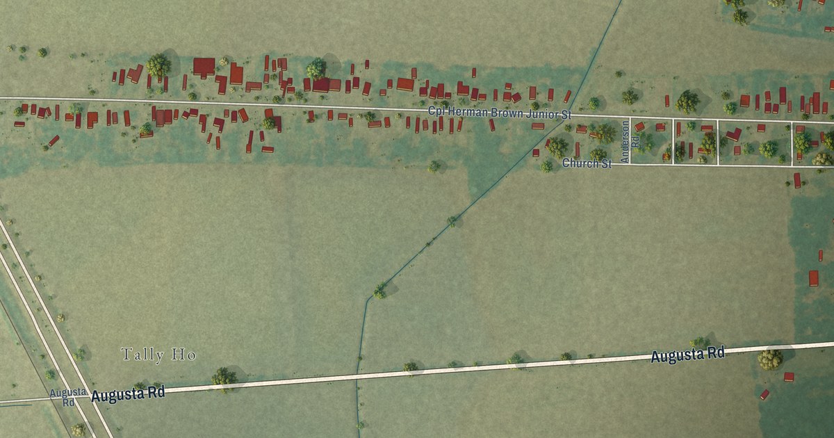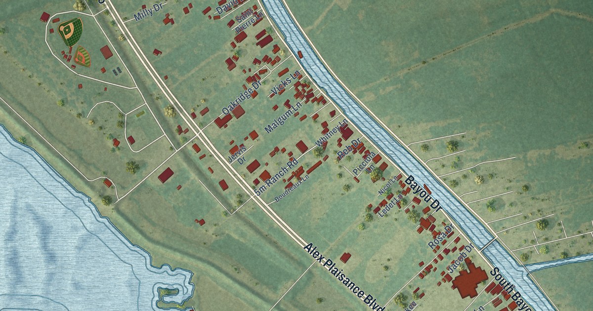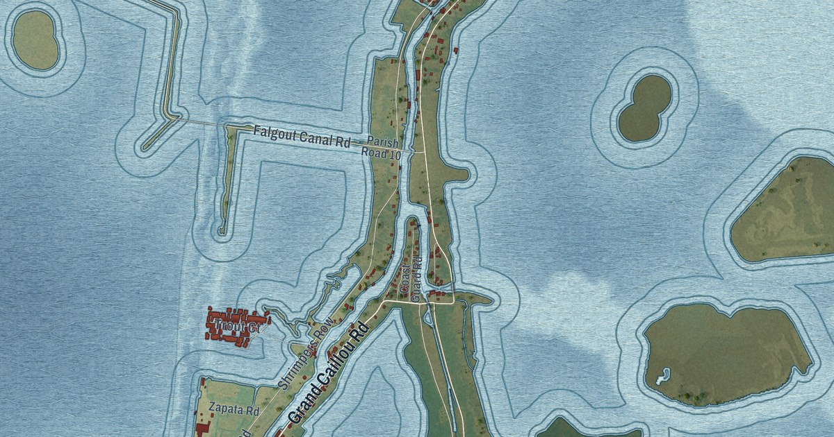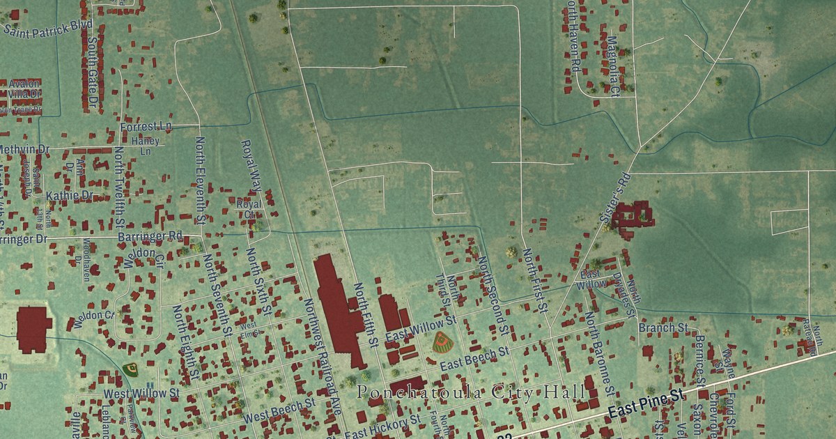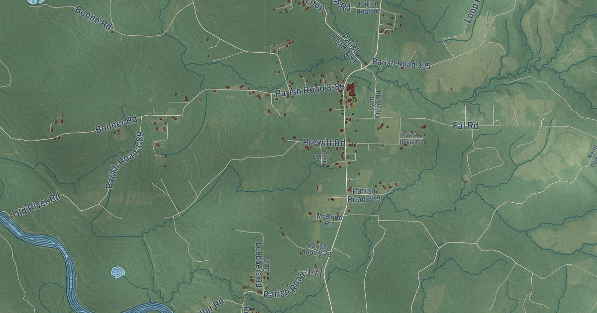
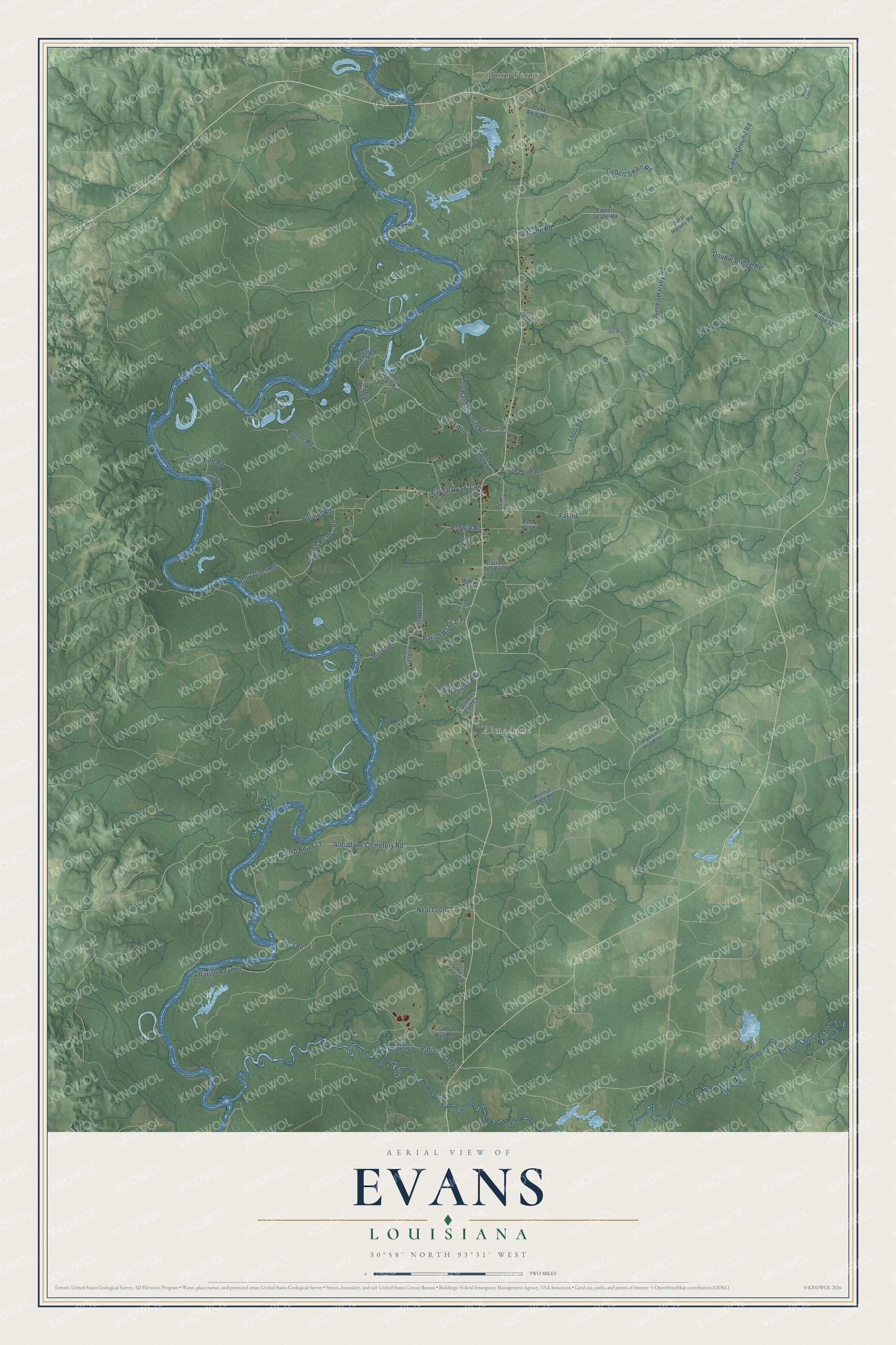
This beautifully detailed map of Evans, Louisiana was created in 2026 using aerial imagery combined with modern topographical, census, street and landmark data. It’s a one-of-a-kind view of Evans that combines accurate data with a vintage aesthetic. The map shows every building in its true location, many of the roads carry their names, and the shaded topographic relief shows the shape of the land.
Explore an aerial view of Evans, Louisiana
On the map you’ll find Almadane, Burr Ferry, Parish Road 3-86, and Parish Road 72, along with Double Bridge Road, Camp Ground Road, Gebert Swain Road, Burrell Harvey Road, Fultcane Road, Boone Road, Jarrell Loop, Neal Loop, and more. If you look closely you can even find your house accurately drawn in its correct location. Zoom in on the preview to look for yours.
Did You Know?
From Justin Winsor’s 1895 Mississippi Basin: "The principal settlement was perhaps on the north side, where it is placed by Mitchell, Evans, Kalin, Christian Post, and Hutchins."
Evans is a community in Vernon Parish.
Take a closer look at the Evans map
Names on this map
These names are printed on this map.
Places: Almadane and Burr Ferry.
Streets and roads: Double Bridge Road, Camp Ground Road, Gebert Swain Road, Burrell Harvey Road, Fultcane Road, Boone Road, Parish Road 3-86, Jarrell Loop, Neal Loop, Parish Road 72, Bonner Road, Almadane Cemetery Road.
More street names, A to Z
Bobcat Lane, Bural Harvey Road, Cut Off Road, Dees Road, Don Luebbers Road, Double East Lane, Emmitt Jeane Road, Fal Road, Griff Way Road, James Jarrell Road, Jd Mitcham Road, Joe Wingate Road, Loop Road, Lynn Davis Road, Mastern Brack Road, McBride Road, Miller Road, North Damrel Road, Old Randall Smith Road, Old River Road, Parish Road 3-69, Parish Road 3-77, Parish Road 3-78, Parish Road 3-89, Parish Road 3-91, Parish Road 32, Parish Road 54, Parish Road 69, Parish Road 73, Parish Road 80, Parish Road 93, Parish Road 97, Parish Road 100, Parish Road 104, Parish Road 379, Parish Road 395, Plunk Away Road, Prewitt Road, River Camp Road, Rose Road, Sodie Harvey Road, Trails End Road, Walnut Tree Road, Wesley Eave Road.
See it on a wall
The Evans map as a framed print. Swipe for more.


This beautifully detailed map of Evans makes an attractive addition to your office, library, or den, and it can even be used to teach children the geography and history of the area. It also makes a great gift for someone who left Evans and still calls it home. When you’re done exploring, click here to get your copy of the Evans map.