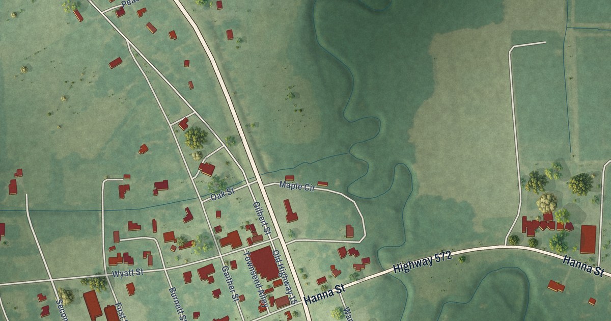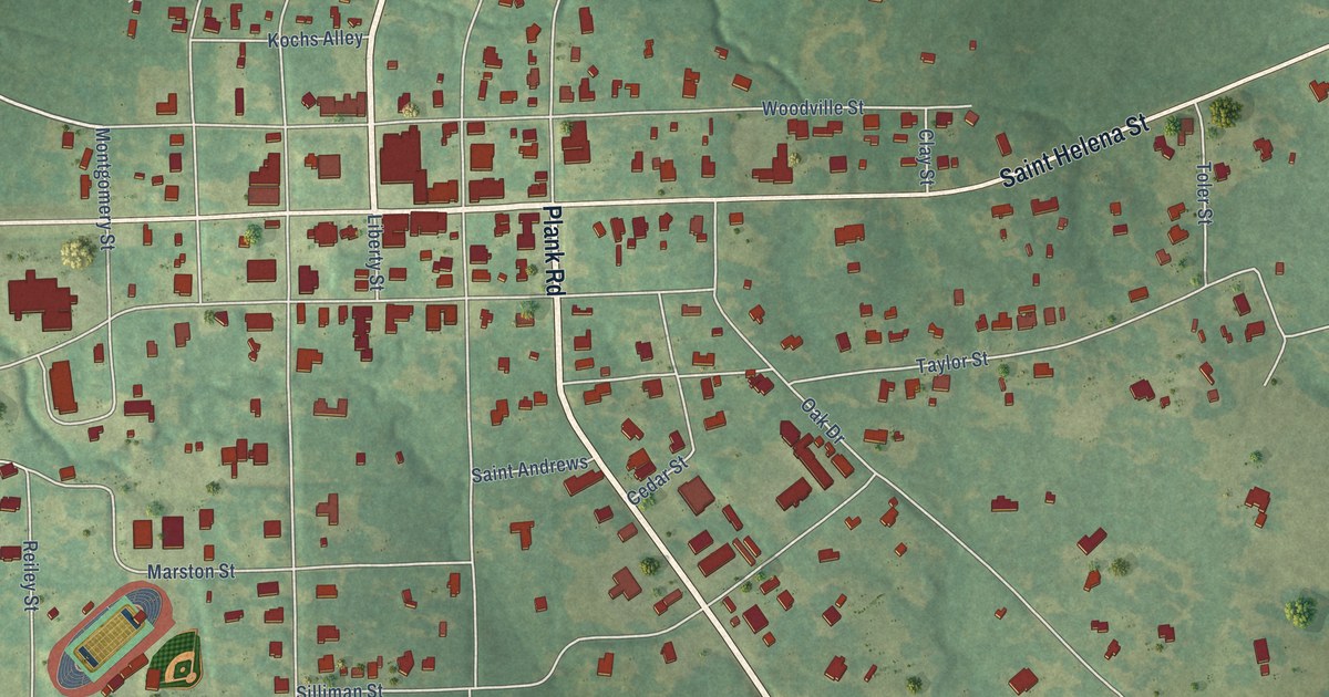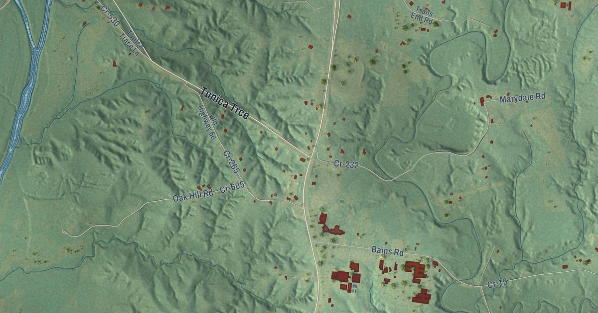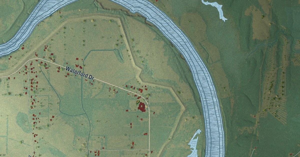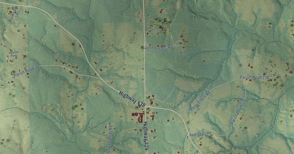
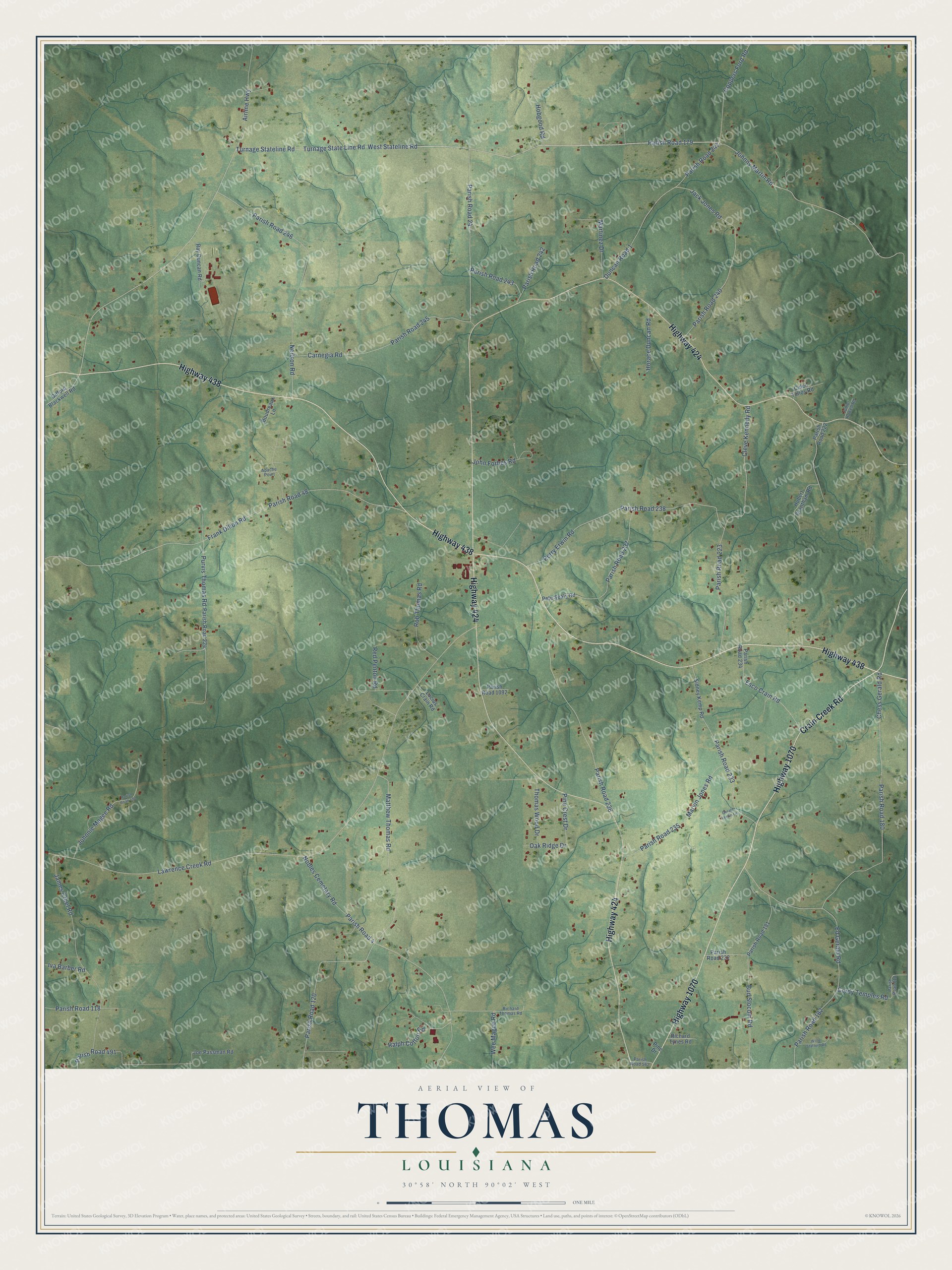
This beautifully detailed map of Thomas, Louisiana was created in 2026 using aerial imagery combined with modern topographical, census, street and landmark data. It’s a one-of-a-kind view of Thomas that combines accurate data with a vintage aesthetic. The map shows every building in its true location, many of the roads carry their names, and the shaded topographic relief shows the shape of the land.
Explore an aerial view of Thomas, Louisiana
On the map you’ll find Parish Road 179 and Parish Road 4, along with Crain Creek Road, Highway 424, Highway 438, Highway 1070, West Stateline Road, Turnage State Line Road, Coppers Ford Road, Wee Magee Road, Purvis Thomas Road, and more. If you look closely you can even find your house accurately drawn in its correct location. Zoom in on the preview to look for yours.
Did You Know?
From the 1804 American Gazetteer: "Sir Thomas Button loft his fhip here, and came back in a floop built in the country."
Thomas is a community in Washington Parish.
Take a closer look at the Thomas map
Names on this map
These names are printed on this map.
Streets and roads: Crain Creek Road, Highway 424, Highway 438, Highway 1070, Parish Road 179, West Stateline Road, Turnage State Line Road, Turnage Stateline Road, Coppers Ford Road, Wee Magee Road, Parish Road 4, Purvis Thomas Road.
More street names, A to Z
Airline Highway, Apache Point, Boudreaux Lane, Bud Slocum Road, Carnegia Road, Chess Gerald Road, Cleve Kennedy Road, Cordy Temples Road, Culen Tullos Road, Duncan Road 1, Ed Gerald Road, Esco Crain Road, Frank Dillon Road, Gerald Verdin Lane, Gifford Blackwell Road, Hobgood Road, Horace Duncan Road, Hubert Grantham Road, Iva Barber Road, Jack Jones Road, James Creel Road, Joe Passman Road, John Forbes Road, Johnnie Magee Road, Johnny Martin Road, Junior Rowell Road, Lawrence Creek Road, Lucius Crain Road, Martinez Drive, Marvin Jones Road, Matthew Thomas Road, Neilson Road, Nobles Cemetary Road, Oak Ridge Drive, Parish Road 24, Parish Road 48, Parish Road 118, Parish Road 120, Parish Road 180, Parish Road 181, Parish Road 182, Parish Road 192, Parish Road 222, Parish Road 223, Parish Road 224, Parish Road 232, Parish Road 233, Parish Road 234, Parish Road 235, Parish Road 236, Parish Road 237, Parish Road 238, Parish Road 240, Parish Road 241, Parish Road 242, Parish Road 243, Parish Road 245, Parish Road 246, Parish Road 491, Parish Road 562, Parish Road 810, Parish Road 1092, Perry Erwin Road, Pete Seals Road, Pine Crest Drive, Pine Drive, Ralph Cotton Road, Ray Duncan Road, Red Penton Road, Richard Thomas Road, Richard Tynes Road, Rob Thomas Road, Sidney Kemp Road, Thomas Wood Drive, Willie Stafford Road.
See it on a wall
The Thomas map as a framed print. Swipe for more.


This beautifully detailed map of Thomas makes an attractive addition to your office, library, or den, and it can even be used to teach children the geography and history of the area. It also makes a great gift for someone who left Thomas and still calls it home. When you’re done exploring, click here to get your copy of the Thomas map.