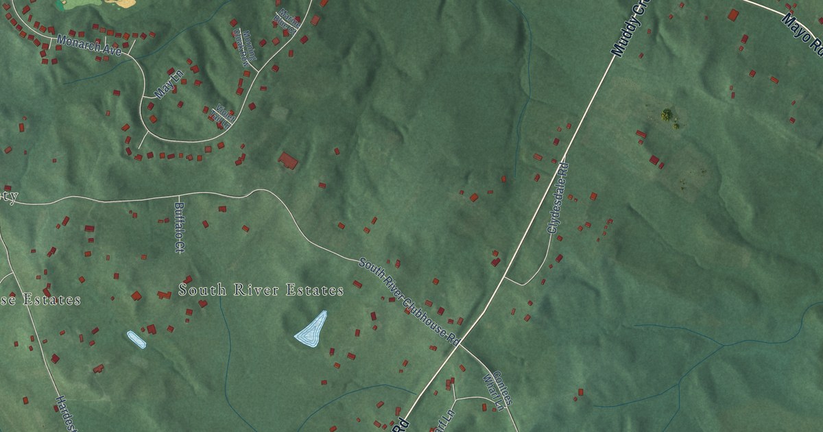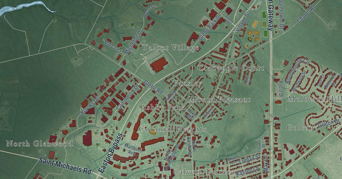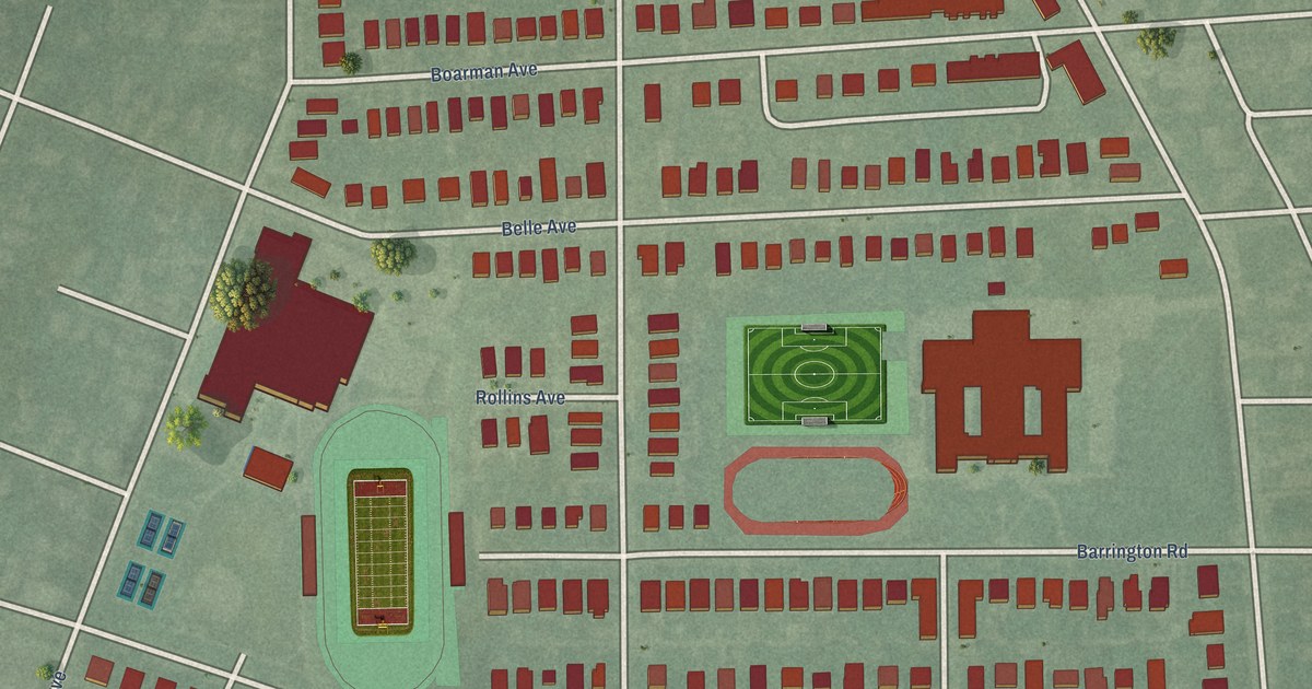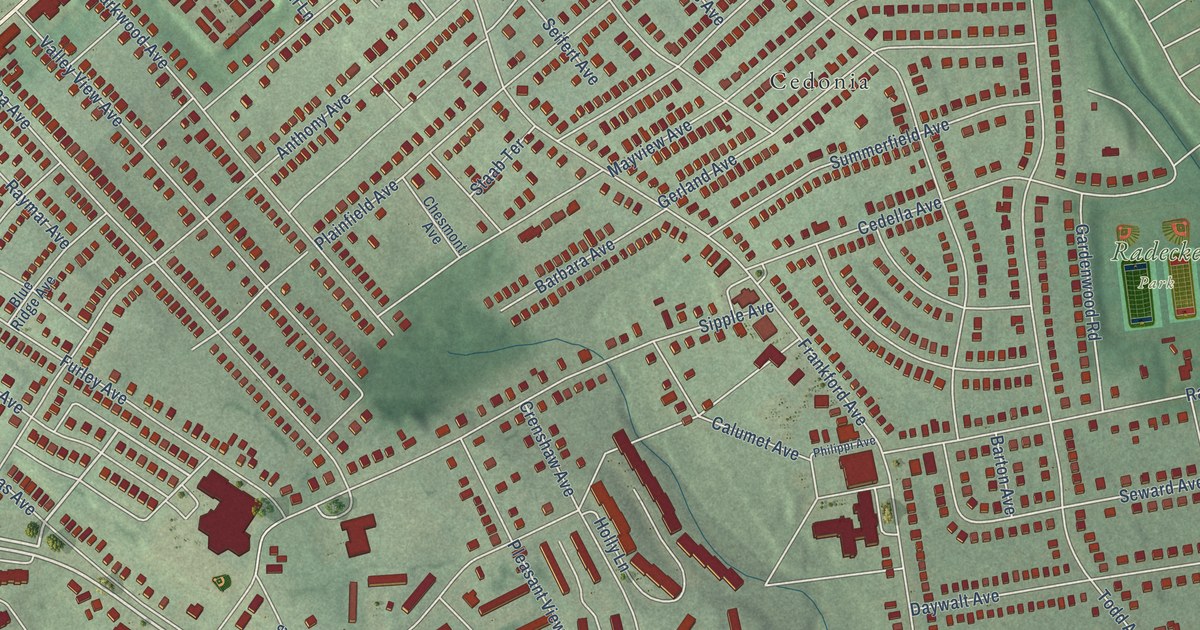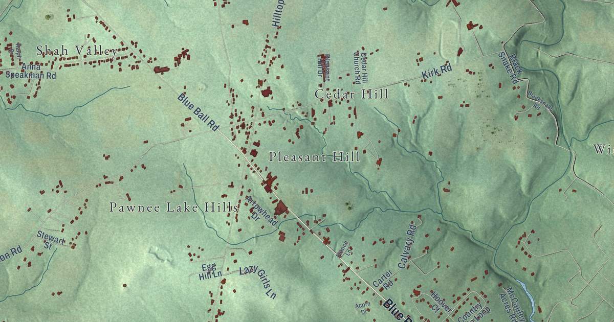
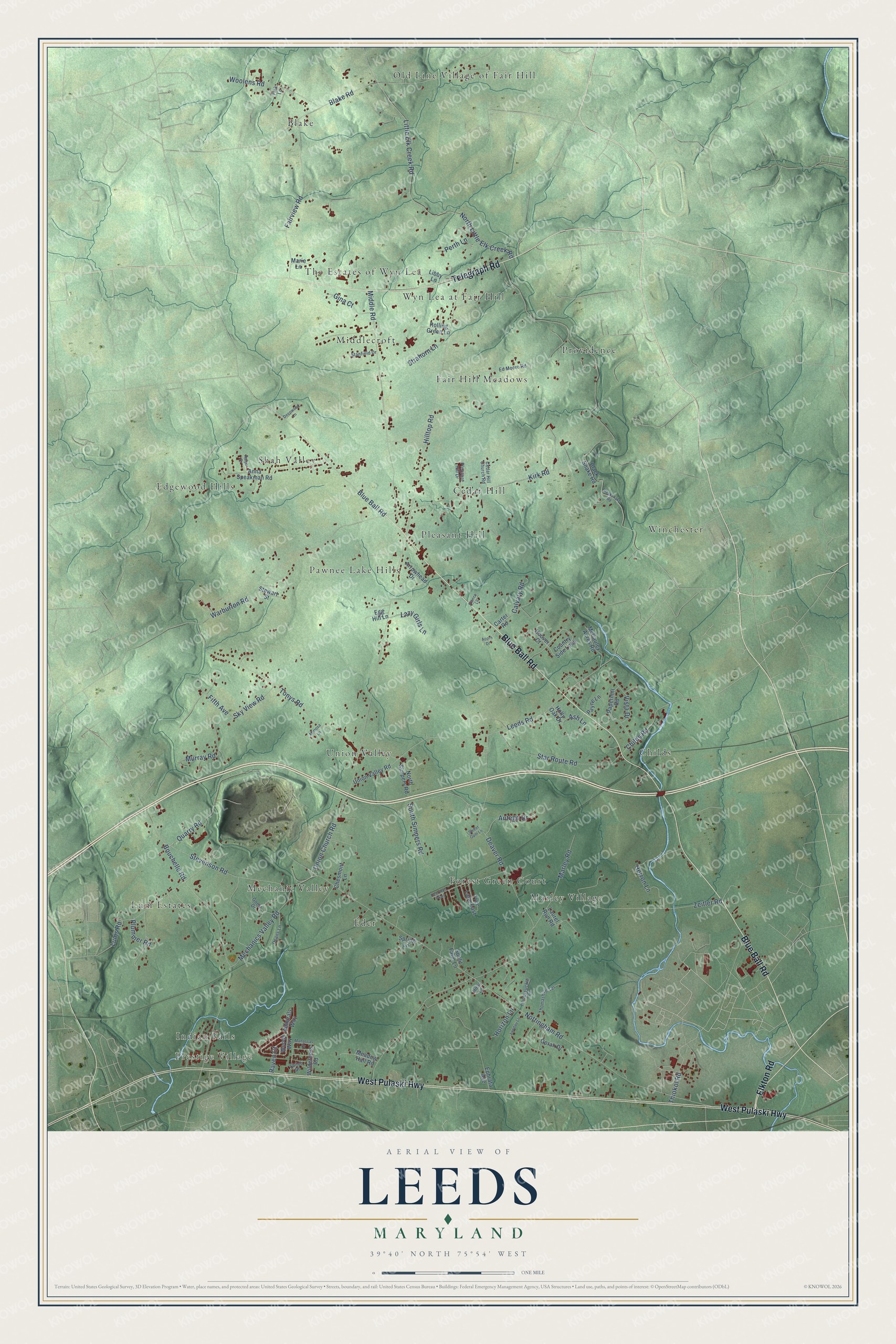
This beautifully detailed map of Leeds, Maryland was created in 2026 using aerial imagery combined with modern topographical, census, street and landmark data. It’s a one-of-a-kind view of Leeds that combines accurate data with a vintage aesthetic. The map shows every building in its true location, many of the roads carry their names, and the shaded topographic relief shows the shape of the land.
Explore an aerial view of Leeds, Maryland
On the map you’ll find Prestige Village, Old Line Village of Fair Hill, Edgewood Hills, Marley Village, Winchester, Mechanic Valley, The Estates of Wyn Lea, Childs, Providence, Pleasant Hill, Union Valley, Blake, and more. If you look closely you can even find your house accurately drawn in its correct location. Zoom in on the preview to look for yours.
Take a closer look at the Leeds map
Names on this map
These names are printed on this map.
Places: Prestige Village, Old Line Village of Fair Hill, Edgewood Hills, Marley Village, Winchester, Mechanic Valley, The Estates of Wyn Lea, Childs, Providence, Pleasant Hill, Union Valley, Blake, Lum Estates, Cedar Hill, Fair Hill Meadows, Shah Valley, Middlecroft, Eder, Forest Green Court, Pawnee Lake Hills, Wyn Lea at Fair Hill and Indian Falls.
Streets and roads: Blue Ball Road, West Pulaski Highway, Telegraph Road, Elkton Road, Leeds Road, Nottingham Road, Union Church Road, Marley Road, Kirk Road, Little Elk Creek Road, North Little Elk Creek Road, Hilltop Road.
More street names, A to Z
Acorn Drive, Admirals Way, Anna Speakman Road, Antego Drive, Arrowhead Drive, Ash Lane, Black Snake Road, Blacksnake Road, Blake Road, Bouchelle Road, Calvary Road, Carter Road, Cedar Hill Church Road, Chesmont Lane, Childs Road, Country Side Loop, Deans Lane, Deaver Road, Deepwood Lane, Deer Run Parkway, Ed Moore Road, Egg Hill Lane, Ephrata Avenue, Fairview Road, Fifth Avenue, Fink Lane, France Lane, Gina Court, Goetz Drive, Herron Lane, Hiran Lane, Holly Oak Drive, Honeysuckle Lane, Hoover Court, Horizon Lane, Landau Lane, Laurel Run Road, Lazy Girls Lane, Libby Lane, Lums Road, Manassas Drive, Marie Lane, McCauley Acres Road, Meadow Hall Road, Mechanics Valley Road, Middle Road, Mimosa Lane, Murray Road, North Simpers Road, Oprah Drive, Papermill Road, Payne Lane, Perth Lane, Pleasant Hill Drive, Plummer Road, Quarry Road, Ralph Drive, Raven Court, Rolling Green Lane, Shiloh Drive, Sky View Road, South Simpers Road, Spring Lane, Stanfield Drive, Star Route Road, Stevenson Road, Stewart Street, Strahorn Lane, Sunlit Farm Lane, Sweet Gum Lane, Thiokol Road, Thomashire Terrace, Tonys Road, Tree Lane East, Union Valley Road, Vista Drive, Warburton Road, Wilderness Road, Woods Way, Woolens Road, Zeitler Road.
See it on a wall
The Leeds map as a framed print. Swipe for more.


This beautifully detailed map of Leeds makes an attractive addition to your office, library, or den, and it can even be used to teach children the geography and history of the area. It also makes a great gift for anyone who grew up in Leeds or moved away. When you’re done exploring, click here to get your copy of the Leeds map.