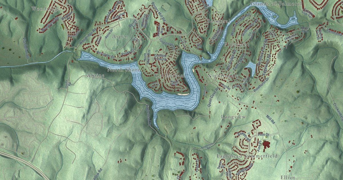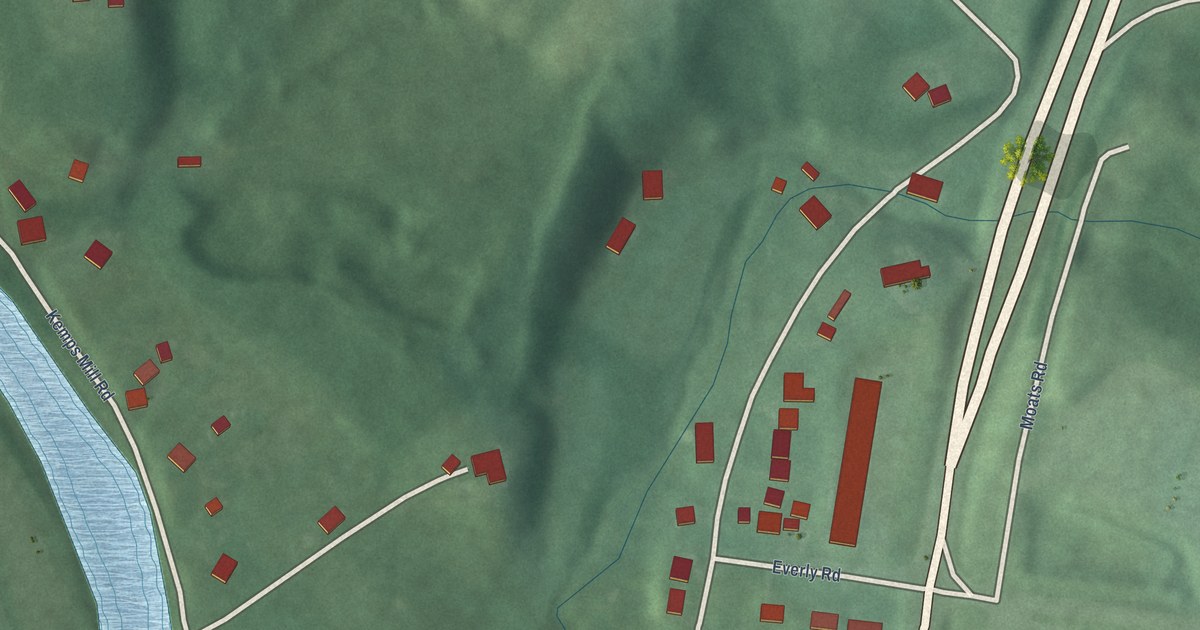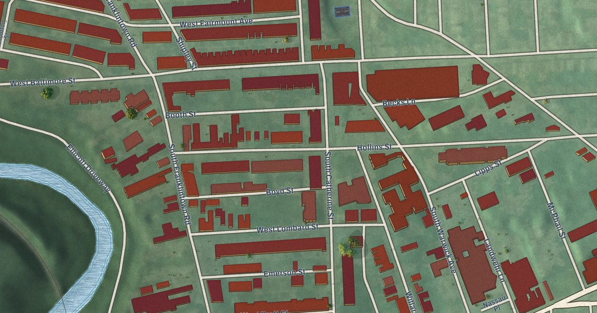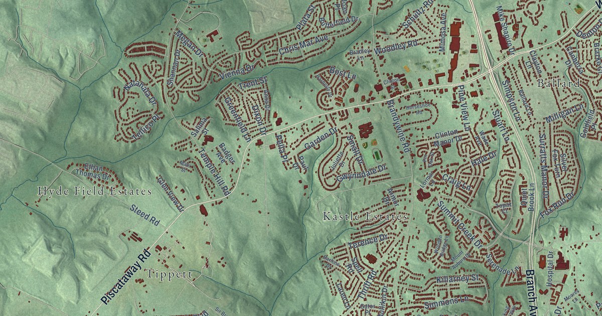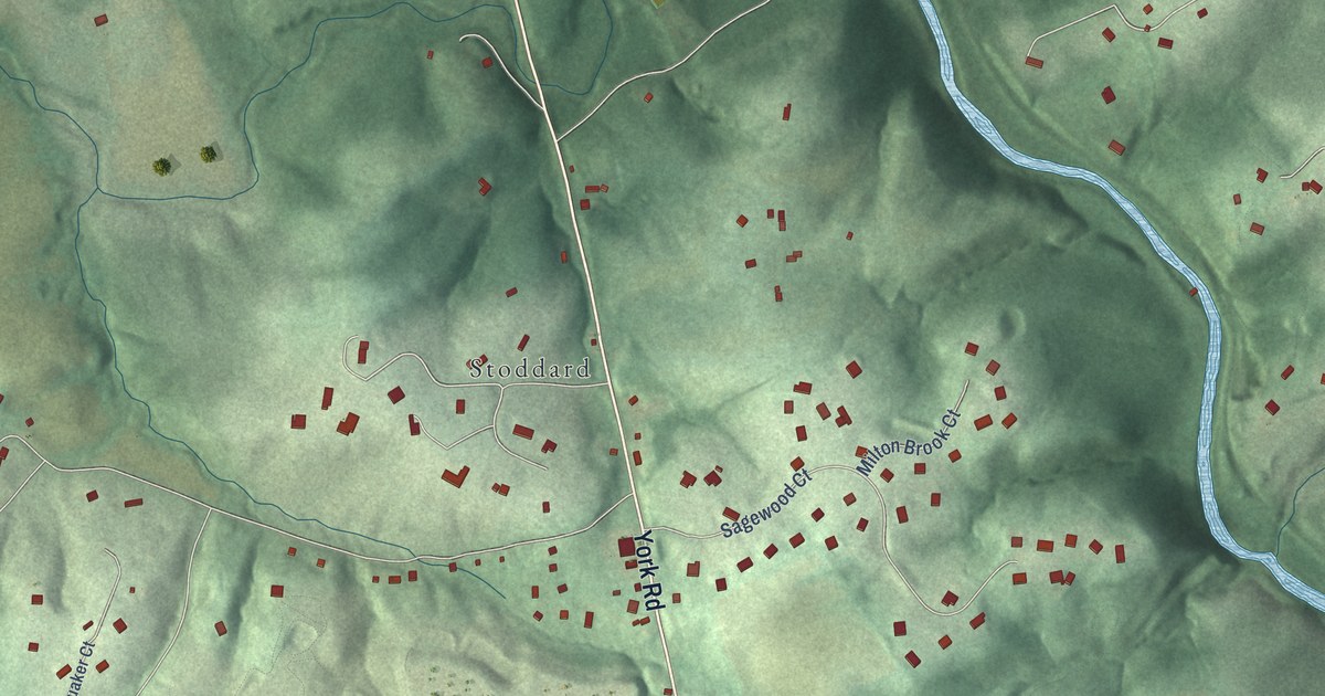
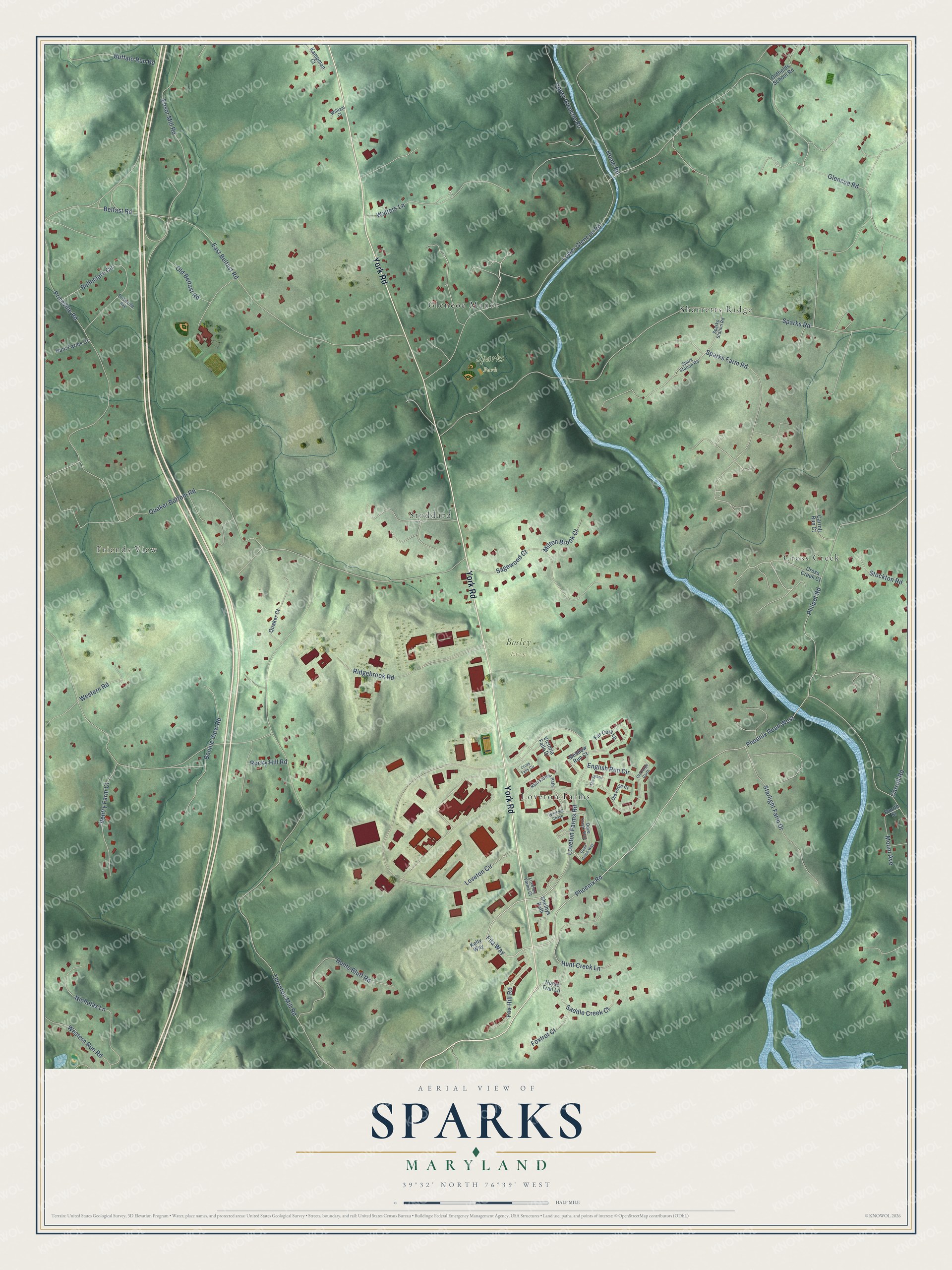
This beautifully detailed map of Sparks, Maryland was created in 2026 using aerial imagery combined with modern topographical, census, street and landmark data. It’s a one-of-a-kind view of Sparks that combines accurate data with a vintage aesthetic. The map shows every building in its true location, many of the roads carry their names, and the shaded topographic relief shows the shape of the land.
Explore an aerial view of Sparks, Maryland
On the map you’ll find Bosley Farm, Sparks Park, Friends View, Sharretts Ridge, Cross Creek, Loveton Farms, Stoddard, and Glencoe Manor, along with York Road, Loveton Farms Road, Fila Way, Phoenix Road, and more. If you look closely you can even find your house accurately drawn in its correct location. Zoom in on the preview to look for yours.
Did You Know?
The part of Sparks along York Road was once called Philopolis. The name comes from Greek and means Love Town. Philopolis was home to Milton Academy, a well known boarding school for boys. Over time the whole area took the Sparks name, and Philopolis vanished from county maps.
Take a closer look at the Sparks map
Names on this map
These names are printed on this map.
Places: Bosley Farm, Sparks Park, Friends View, Sharretts Ridge, Cross Creek, Loveton Farms, Stoddard and Glencoe Manor.
Streets and roads: York Road, Loveton Farms Road, Fila Way, Phoenix Road, Phoenix Road West, Thornton Mill Road, Quaker Bottom Road, Sparks Road, Glencoe Road, Loveton Circle, East Belfast Road, Priceville Road.
More street names, A to Z
Belfast Road, Belleclare Circle, Bonnie View Road, Buffalo Run Road, Carroll Road, Carroll Run Court, Cross Creek Court, Cross Falls Circle, Dove Creek Way, English Run Circle, Ensor Mill Road, Far Cors Lp, Fourth Street, Fox Hill Road, Foxtrot Court, Home Road, Horse Trail Lane, Hunt Creek Lane, Hunt Farms Court, Hunts Bluff Road, Kampman Court, Kelly Way, Loveton Farms Court, Lower Glencoe Road, Meadow Run Court, Milton Brook Court, Mount Avenue, Nicholas Lane, Old Belfast Road, Oldfields School Road, Old Forge Court, Old Forge Garth, Philpot Road, Priceville Avenue, Quail Creek Way, Quaker Court, Rain Flower Path, Ridgebrook Road, Rocky Hill Road, Saddle Creek Court, Sagewood Court, Shelbys Path, Sparks Farm Road, Sparks Station Road, Spark Station Road, Starlight Farm Drive, Stockton Road, The Strand, Upper Glencoe Road, Ventry Farm Court, Victoria Falls Drive, Walters Lane, Western Road, Western Run Road, William Court, Windmill Chase.
See it on a wall
The Sparks map as a framed print. Swipe for more.


This beautifully detailed map of Sparks makes an attractive addition to your office, library, or den, and it can even be used to teach children the geography and history of the area. It also makes a great gift for anyone with Sparks roots. When you’re done exploring, click here to get your copy of the Sparks map.