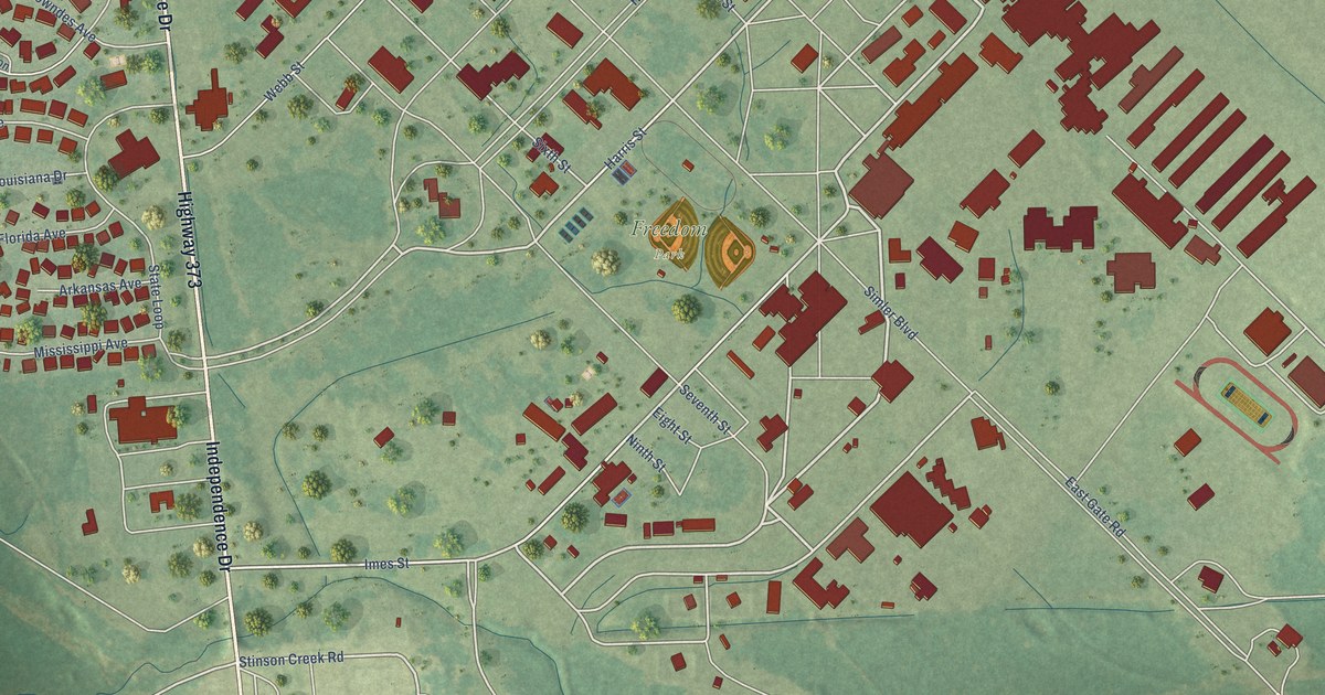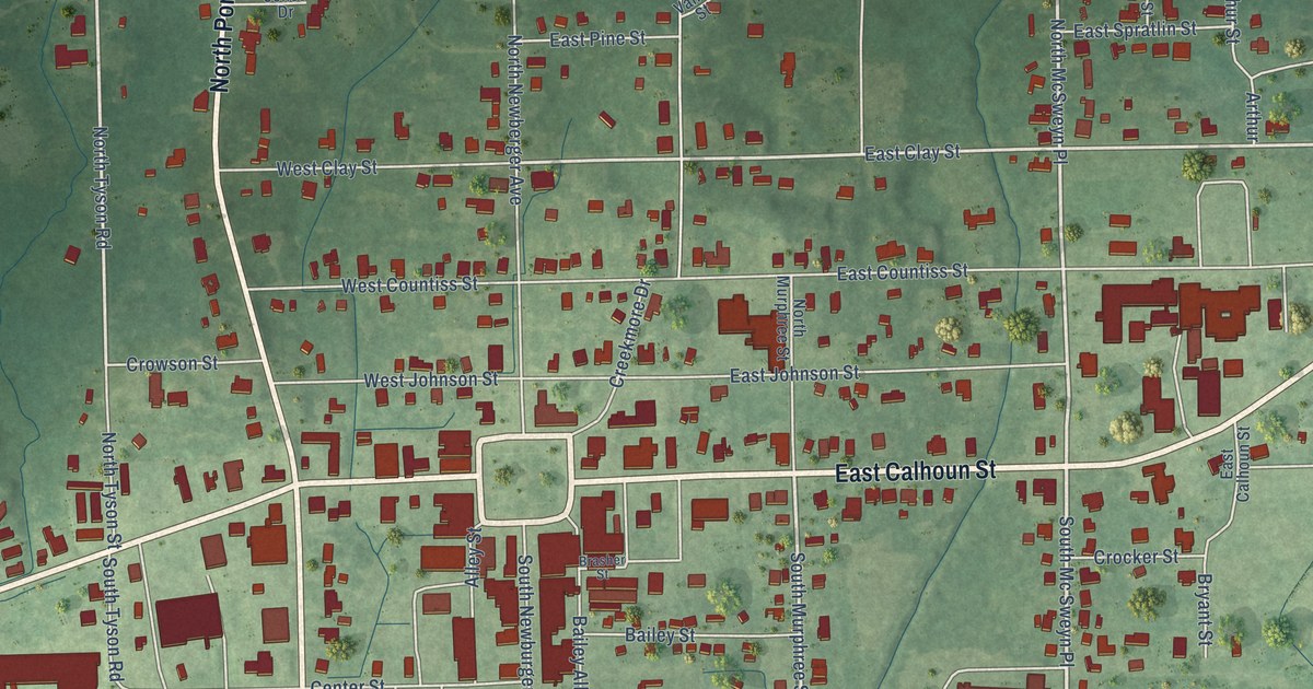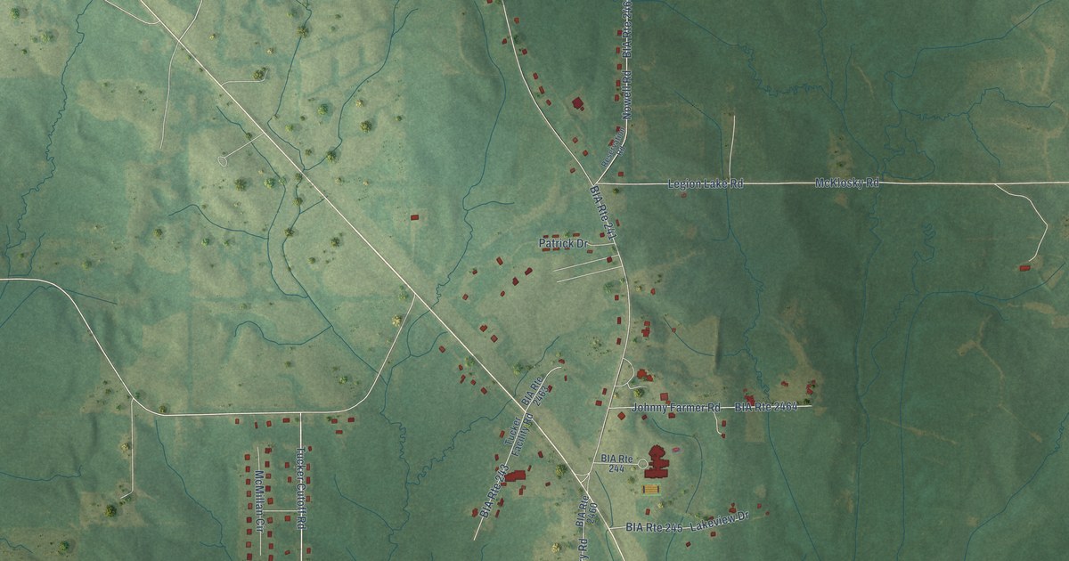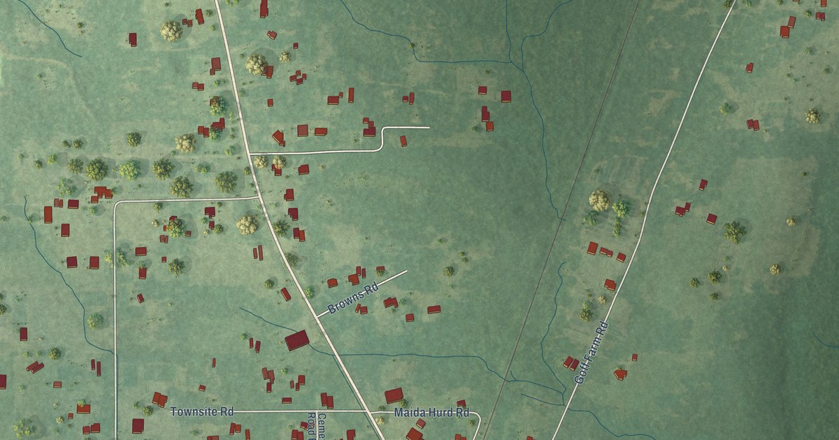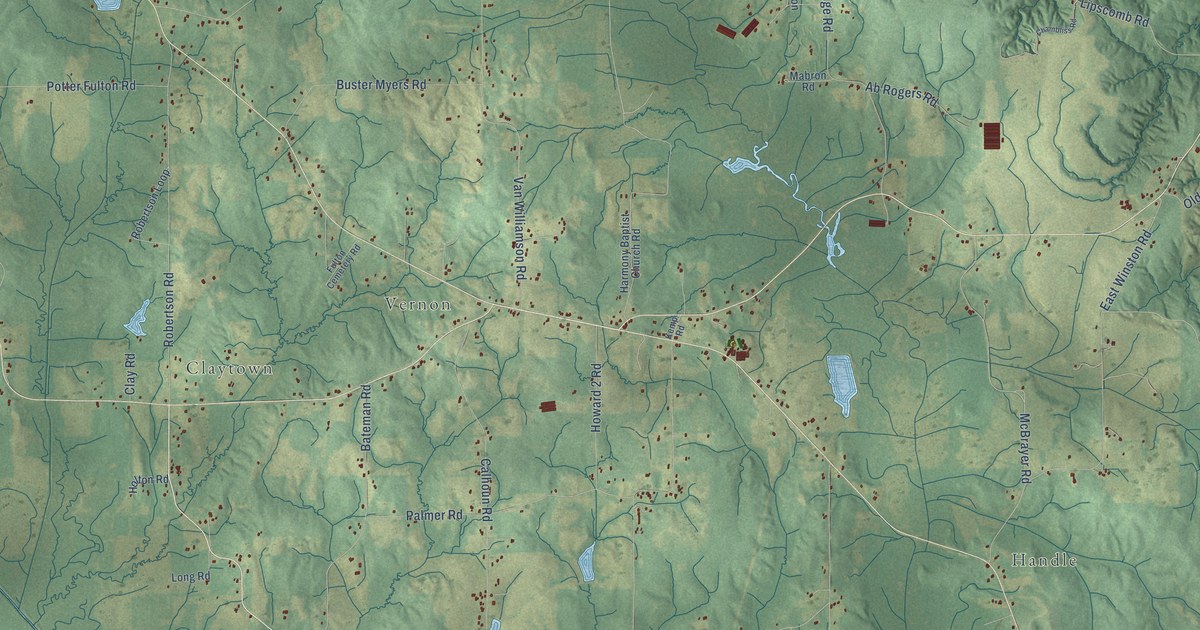
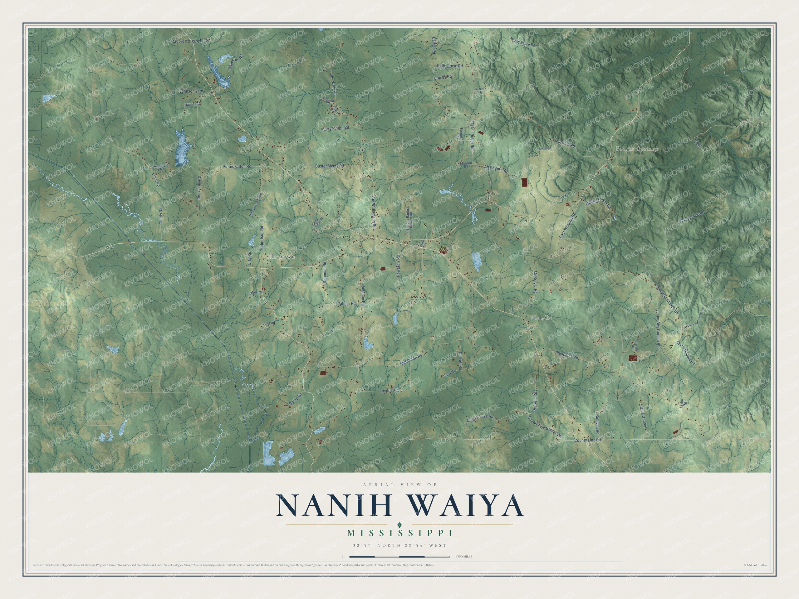
This beautifully detailed map of Nanih Waiya, Mississippi was created in 2026 using aerial imagery combined with modern topographical, census, street and landmark data. It’s a one-of-a-kind view of Nanih Waiya that combines accurate data with a vintage aesthetic. The map shows every building in its true location, many of the roads carry their names, and the shaded topographic relief shows the shape of the land.
Explore an aerial view of Nanih Waiya, Mississippi
On the map you’ll find Fearns Springs, Claytown, Vernon, and Handle, along with County Line Road, County Line Grocery Road, Burrage Road, Shuqualak Road, Middleton Road, Calhoun Road, Ebenezer Church Road, Enon Road, and more. If you look closely you can even find your house accurately drawn in its correct location. Zoom in on the preview to look for yours.
Did You Know?
From Internet Archive: "The Muscogees first came out of Nanih Waiya, and they then sunned themselves on Nanih Waiya's earthen rampart, and when they got dry they went to the east."
Nanih Waiya is a community in Winston County.
Take a closer look at the Nanih Waiya map
Names on this map
These names are printed on this map.
Places: Fearns Springs, Claytown, Vernon and Handle.
Streets and roads: County Line Road, County Line Grocery Road, Burrage Road, Shuqualak Road, Middleton Road, Calhoun Road, Ebenezer Church Road, Enon Road, Ellison Ridge Road, Lipscomb Road, Lovorn Road, Palmer Road.
More street names, A to Z
Ab Rogers Road, Bateman Road, Bethel Road, Boydston Road, Buskirk Road, Buster Myers Road, Chambliss Road, Childs Road, Clay Road, Clinton Luke Road, Crosby Road, Curtis Goodin Road, Darby Road, East Winston Road, Ferguson Road, Ford Road, Fulton Cemetery Road, Hanna Road, Harmony Baptist Church Road, Holly Grove Road, Holton Road, Howard 2 Road, Indian Road, Joe Wray Road, Johnson 2 Road, Junior Boy Goodin Road, Kemp Road, Lagoon Road, Long Road, Lossie Goodin, Mabron Road, McBrayer Road, Moody Nance Road, Moore Road, Murry Fulton Road, Noxubee Road, Old Factory Road, Old Mill Pond Road, Pickett Road, Potter Fulton Road, Punk Vandevender Road, Robertson Loop, Robertson Road, Rocky Hill Road, Sullivan Road, Talbert Road, Taylor Road, Van Williamson Road, Woodruff 2 Road, Wright Road.
See it on a wall
The Nanih Waiya map as a framed print. Swipe for more.


This beautifully detailed map of Nanih Waiya makes an attractive addition to your office, library, or den, and it can even be used to teach children the geography and history of the area. It also makes a great gift for anyone with Nanih Waiya roots. When you’re done exploring, click here to get your copy of the Nanih Waiya map.