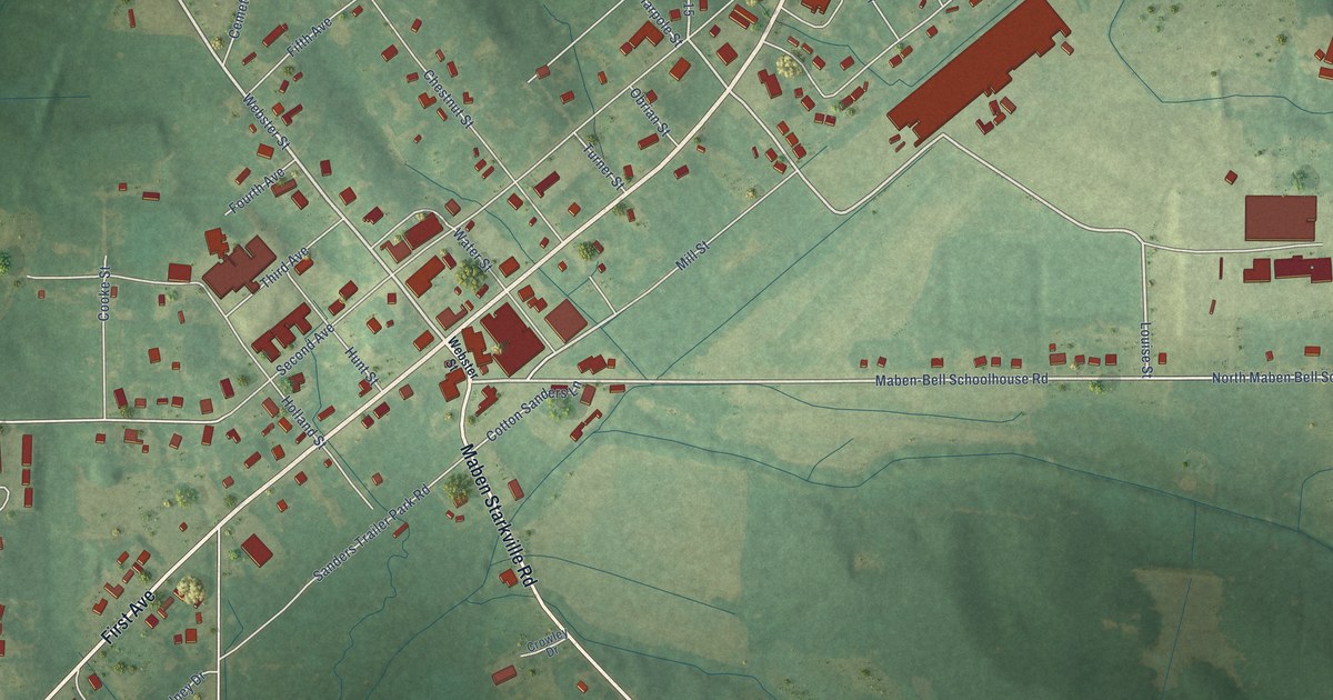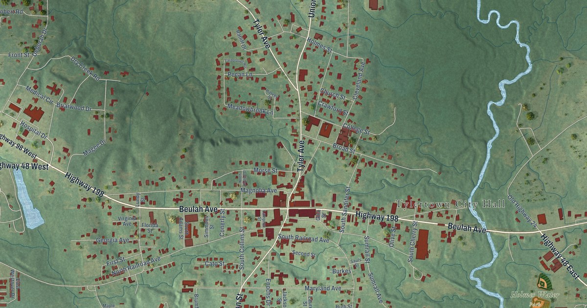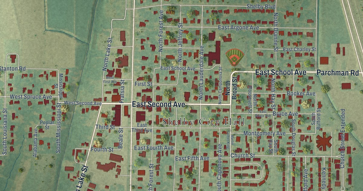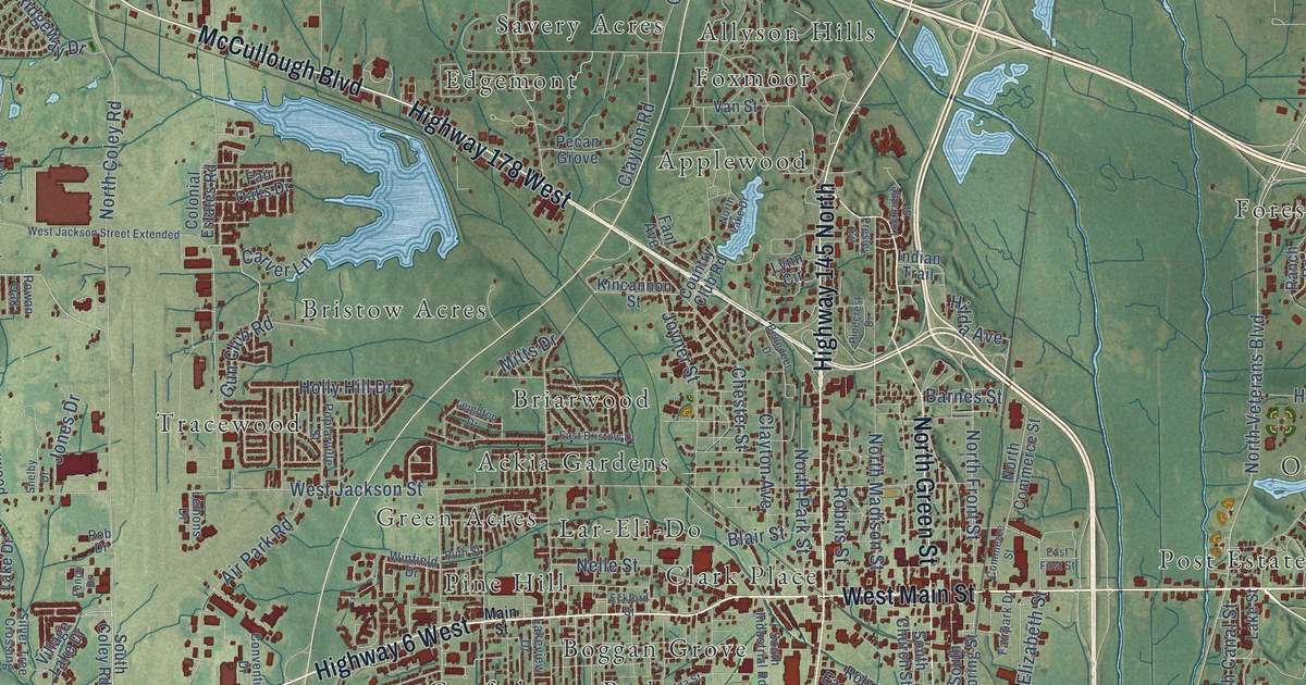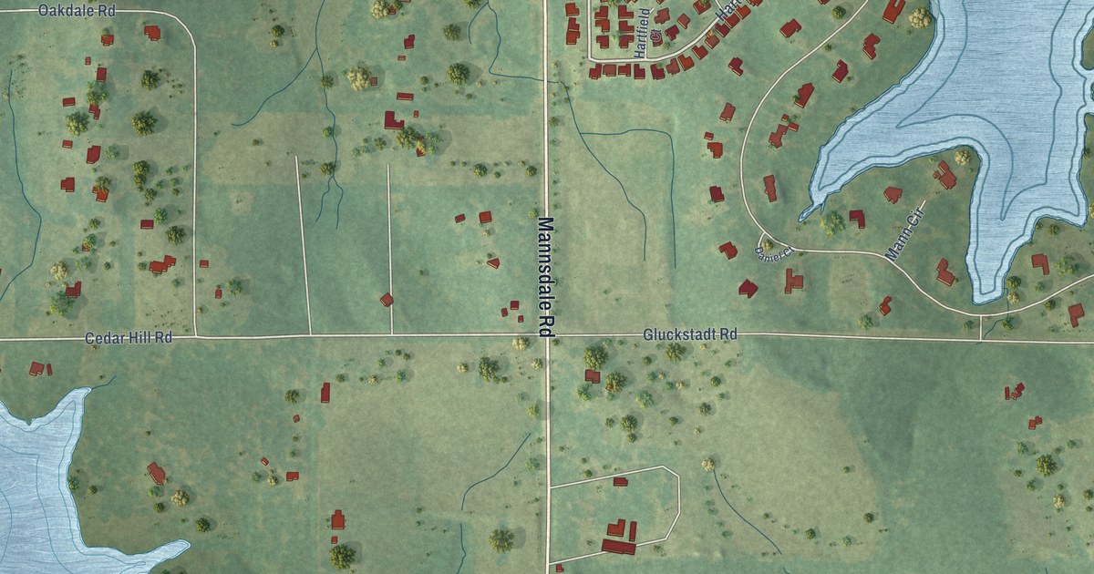
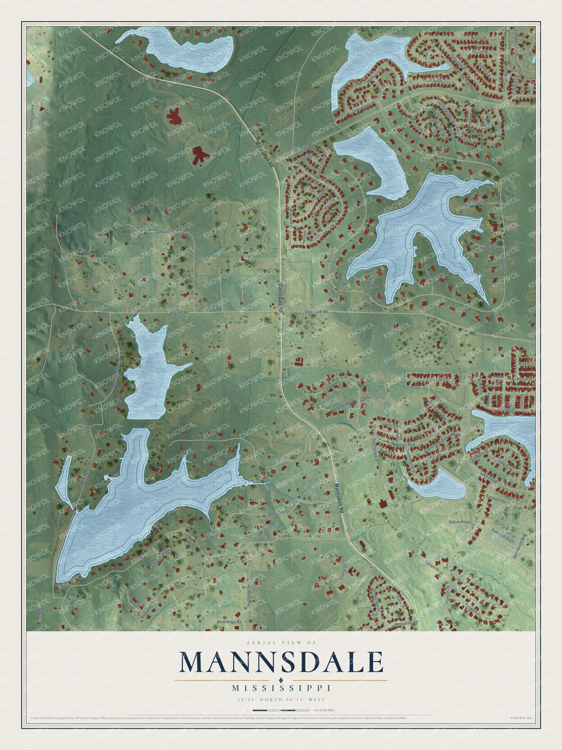
This beautifully detailed map of Mannsdale, Mississippi was created in 2026 using aerial imagery combined with modern topographical, census, street and landmark data. It’s a one-of-a-kind view of Mannsdale that combines accurate data with a vintage aesthetic. The map shows every building in its true location, many of the roads carry their names, and the shaded topographic relief shows the shape of the land.
Explore an aerial view of Mannsdale, Mississippi
On the map you’ll find Annandale and Reunion Park, along with Mannsdale Road, Reunion Boulevard, Brierfield Drive, Hartfield Drive, Carrick Avenue, Cedar Hill Road, Weldon Drive, Johnstone Drive, Dover Lane, Stribling Road, and more. If you look closely you can even find your house accurately drawn in its correct location. Zoom in on the preview to look for yours.
Take a closer look at the Mannsdale map
Names on this map
These names are printed on this map.
Places: Annandale and Reunion Park.
Streets and roads: Mannsdale Road, Reunion Boulevard, Brierfield Drive, Hartfield Drive, Carrick Avenue, Cedar Hill Road, Weldon Drive, Johnstone Drive, Dover Lane, Stribling Road, Swan Sea Lane, Gluckstadt Road.
More street names, A to Z
Annandale Road, Bassett Lane, Berm Ridge Road, Brisco Street, Bristol Cv, Bristol Drive, Bristol Lane, Bristol Way, Camden Lake Circle, Camden Lake Drive, Carlyle Drive, Castle Ridge Cv, Chadwyck Court, Chadwyck Place, Chapel Lane, Charlton Drive, Chenal Court, Cheryl Lane, Chestnut Hill Road, Claiborne Street, Clear Creek, Covington Cv, Covington Way, Dalton Pointe, Daniel Court, Deer Creek Cv, Deer Creek Drive, Devlin Drive, Devlin Lane, Devlin Lane Extended, Devlin Springs Drive, Dogwood Court, Eastwick North, Eastwick South, Echo East Cv, Elverse Jones Drive, Esther Cv, Estill Cv, Fenwick Circle, Glennwood Bnd, Greenridge Drive, Greensward Drive, Greystone Court, Greystone Drive, Greystone Lane, Hallmark Place, Hartfield Court, Hatheway Lane, Herndon Place, Honours Drive, Kings Court, Laird Avenue, Lake Mannsdale Drive, Lake Village Drive, Lake Vista Court, Langdon Bend, Langdon Cv, Langdon Drive, Leppingwell Drive, Linden Cv, Livingston Drive, Mann Circle, McDill Cv, McMillon Road, McRae Pointe, Mont Helena Drive, Mullherrin Drive, Murrell Drive, Normandy Circle, North Branch, Northridge Road, Oakdale Road, Quarles Drive, Ruby Cv, South Branch, Stanton Boulevard, Thompson Lane, Vick Drive, Vinings Drive, Violet Drive, Wendy Lane, Westminster Court, William Glen Court.
See it on a wall
The Mannsdale map as a framed print. Swipe for more.


This beautifully detailed map of Mannsdale makes an attractive addition to your office, library, or den, and it can even be used to teach children the geography and history of the area. It also makes a great gift for someone who left Mannsdale and still calls it home. When you’re done exploring, click here to get your copy of the Mannsdale map.