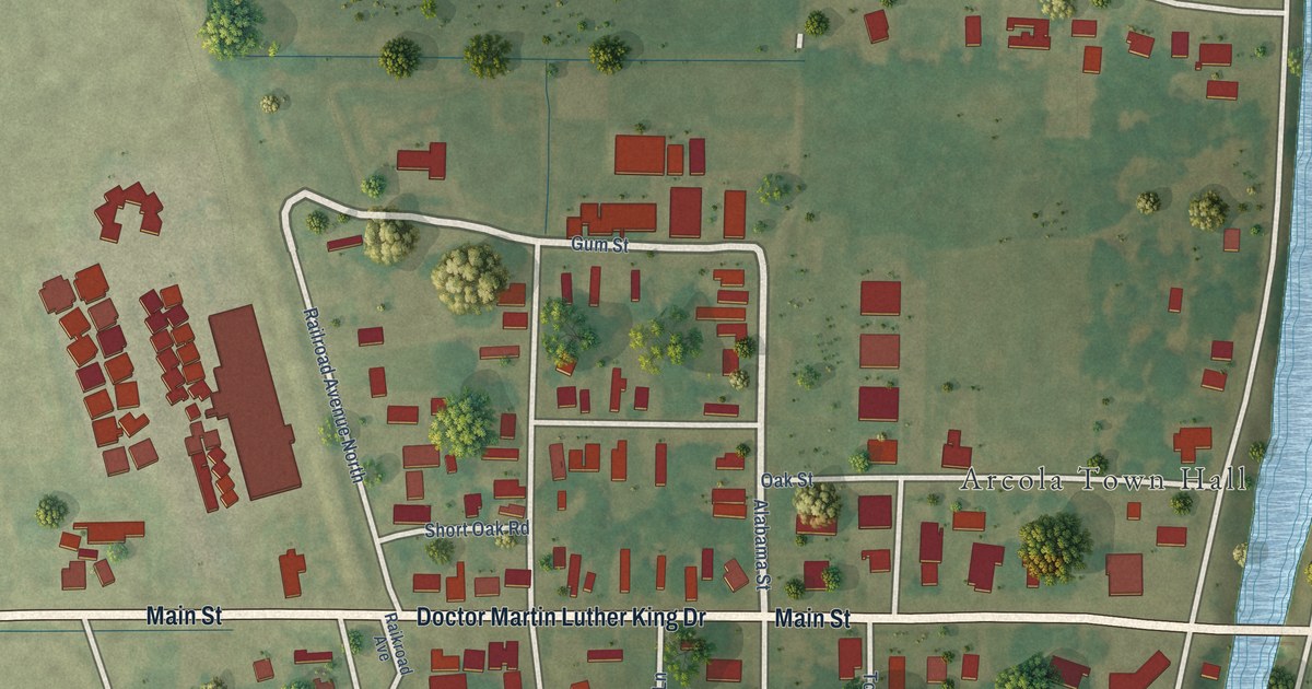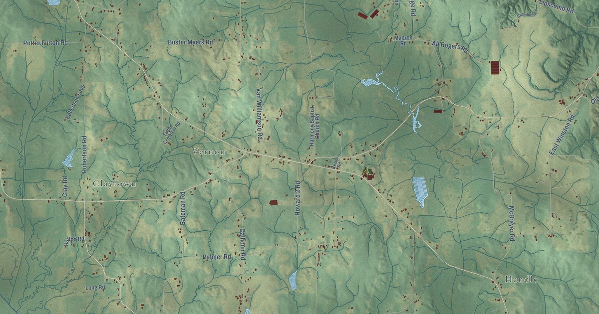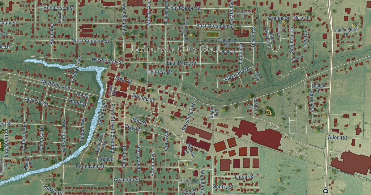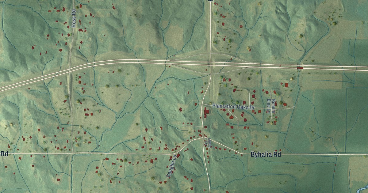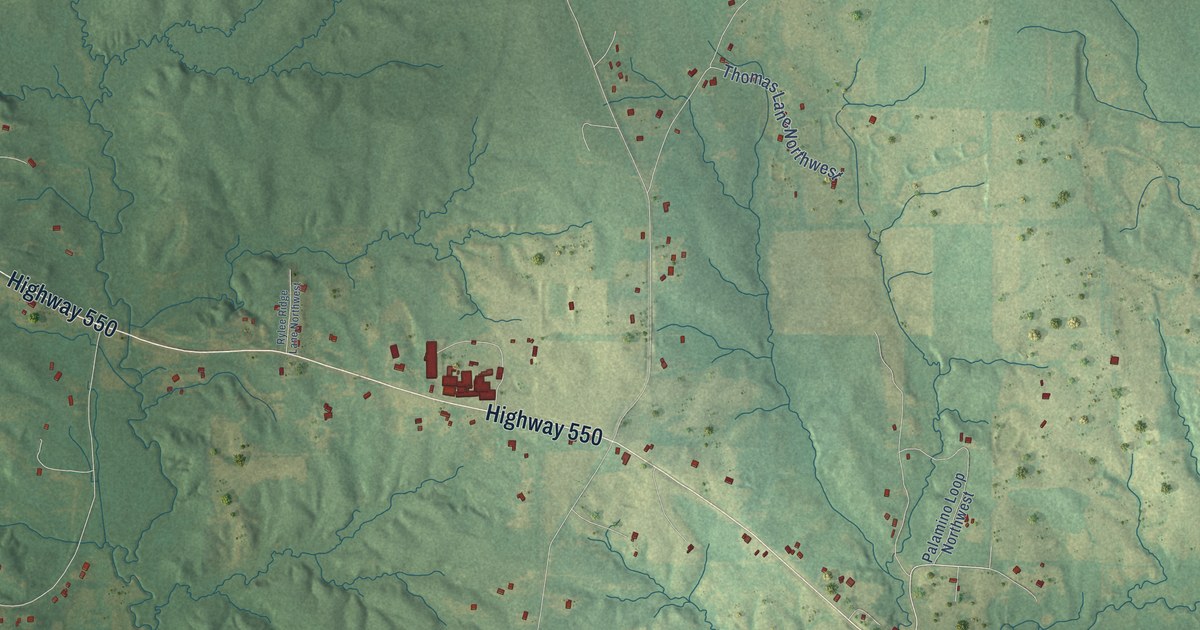
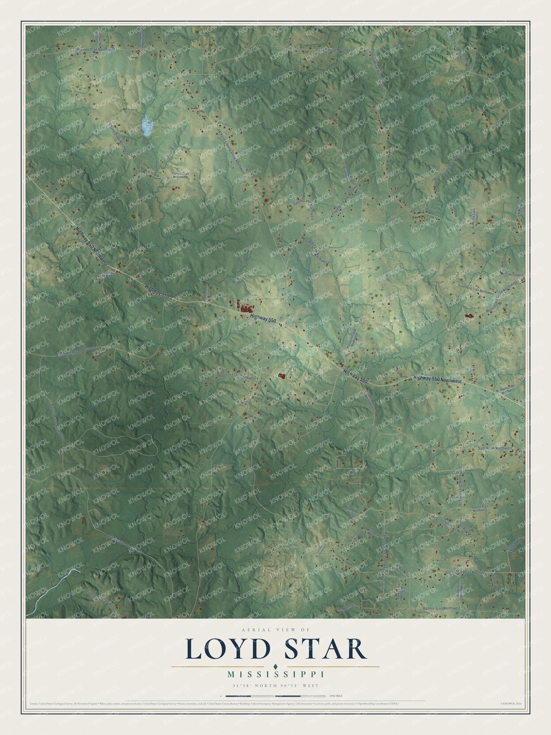
This beautifully detailed map of Loyd Star, Mississippi was created in 2026 using aerial imagery combined with modern topographical, census, street and landmark data. It’s a one-of-a-kind view of Loyd Star that combines accurate data with a vintage aesthetic. The map shows every building in its true location, many of the roads carry their names, and the shaded topographic relief shows the shape of the land.
Explore an aerial view of Loyd Star, Mississippi
On the map you’ll find Highway 550 Northwest, Highway 550, Jackson Liberty Drive Northwest, California Road Northwest, James Drive Northwest, Ellzey Drive Northwest, Arthur Drive Northwest, Oil Field Lane Northwest, Falvey Road Northwest, Bouie Mill Road Northwest, Sam Road Northwest, Oakwood Lane Northwest, and more. If you look closely you can even find your house accurately drawn in its correct location. Zoom in on the preview to look for yours.
Take a closer look at the Loyd Star map
Names on this map
These names are printed on this map.
Streets and roads: Highway 550 Northwest, Highway 550, Jackson Liberty Drive Northwest, California Road Northwest, James Drive Northwest, Ellzey Drive Northwest, Arthur Drive Northwest, Oil Field Lane Northwest, Falvey Road Northwest, Bouie Mill Road Northwest, Sam Road Northwest, Oakwood Lane Northwest.
More street names, A to Z
Anding Circle Northwest, Avondale Lane Northwest, Bennie Trail Northwest, Boyd Trail Northwest, Carmel Trail Northwest, Clyde Trail Northwest, Crosby Trail Northwest, Curtis Lane Northwest, Dumas Trail Northwest, Elisha Lane Northwest, Ernest Trail Northwest, Friendship Lane Northwest, Hilltop Lane Northwest, Ivan Lane Northwest, Loyd Star Lane Northwest, Lucky Lane Northwest, Lyndie Road, Macedonia Road Northwest, McCurley Lane Northwest, McKinley Lane Northwest, Mormon Trail Northwest, Mystery Lane Northwest, Noah Trail Northwest, Old Red Star Drive Northwest, Palamino Loop Northwest, Paxton Lane Northwest, Percy Lane Northwest, Progress Trail Northwest, Robert King Road, Rylee Ridge Lane Northwest, Salem Lane Northwest, Sams Road Northwest, Shanna Lane, Southland Trail Northwest, Tampa Trail Northwest, Thomas Lane Northwest, Truly Trail Northwest, Wade Cove Road Northwest.
See it on a wall
The Loyd Star map as a framed print. Swipe for more.


This beautifully detailed map of Loyd Star makes an attractive addition to your office, library, or den, and it can even be used to teach children the geography and history of the area. It also makes a great gift for someone who left Loyd Star and still calls it home. When you’re done exploring, click here to get your copy of the Loyd Star map.