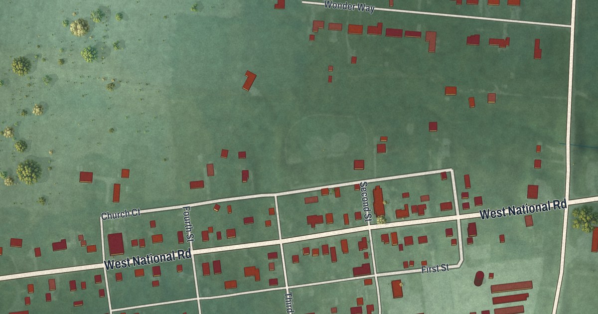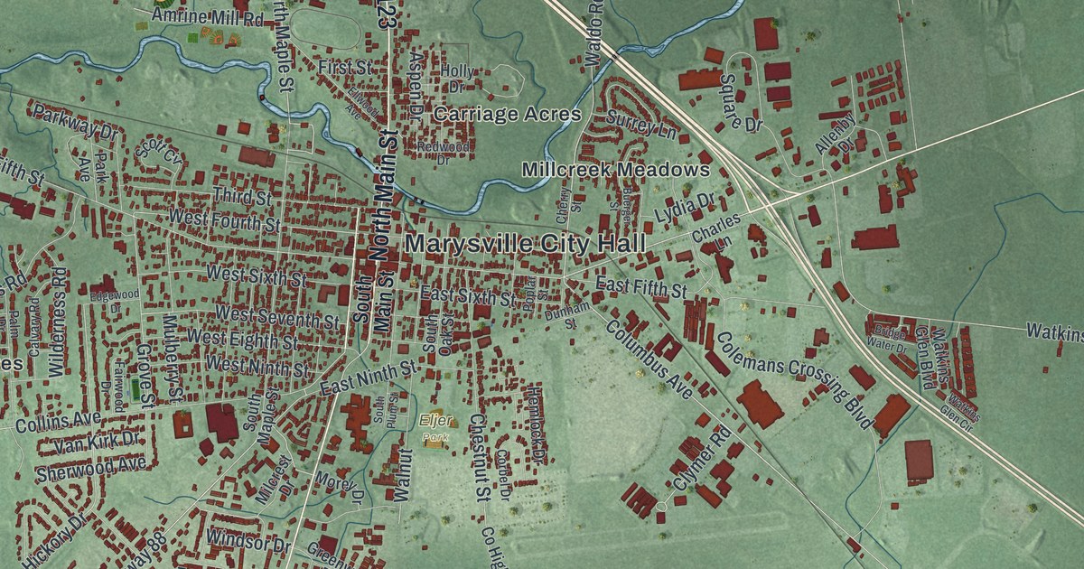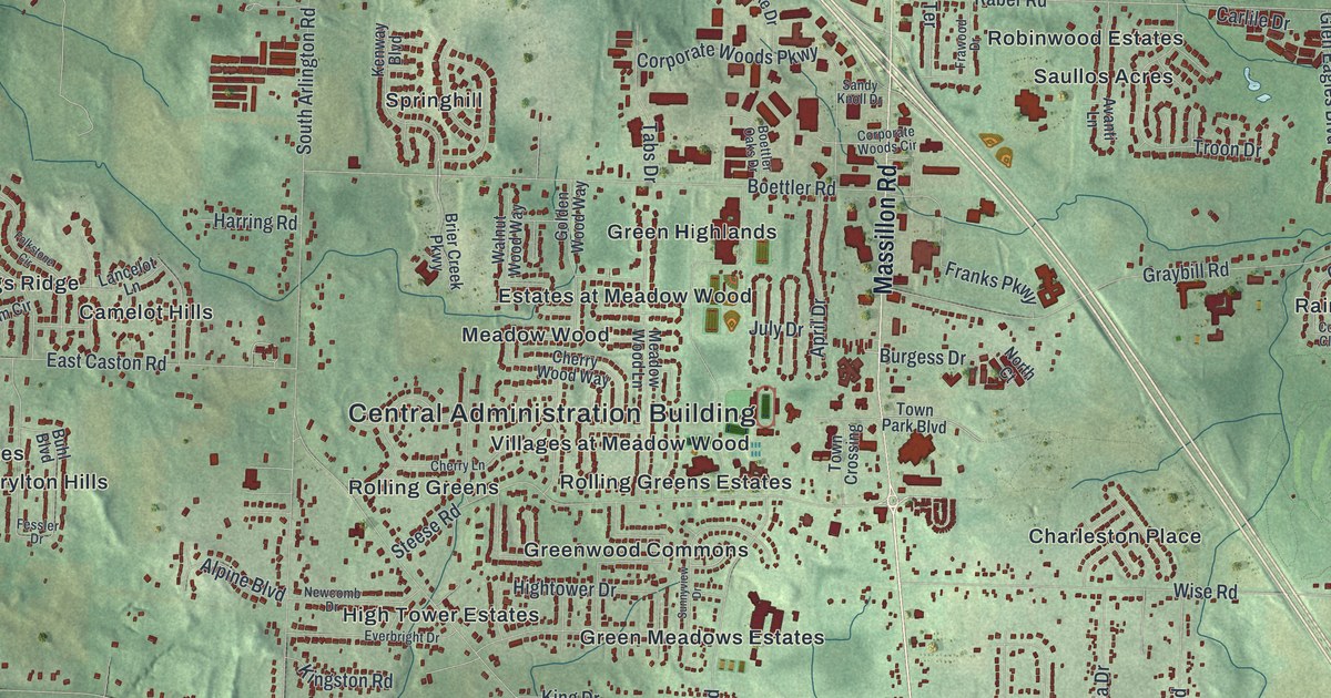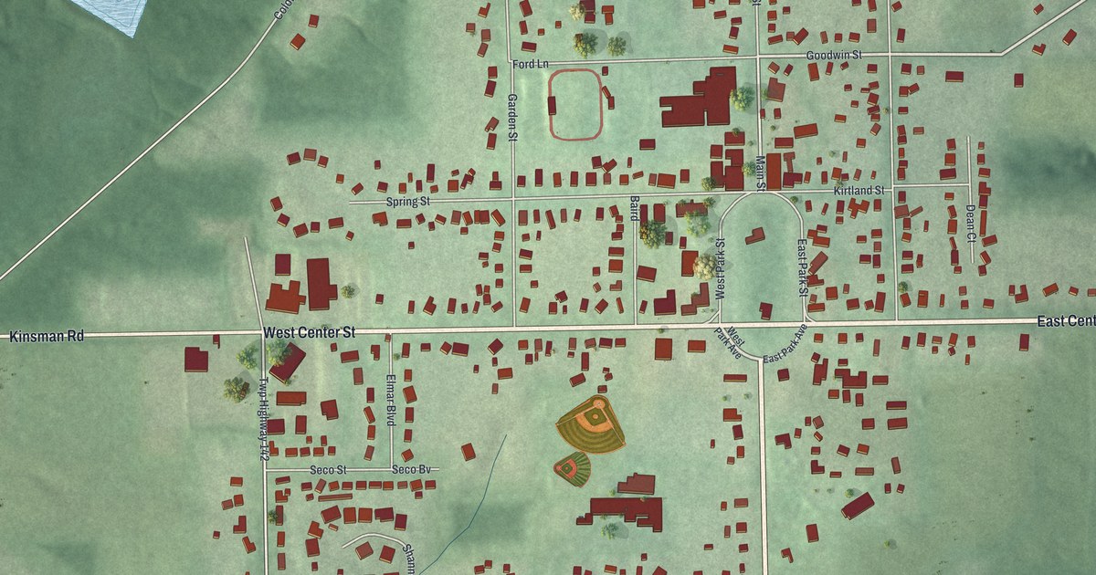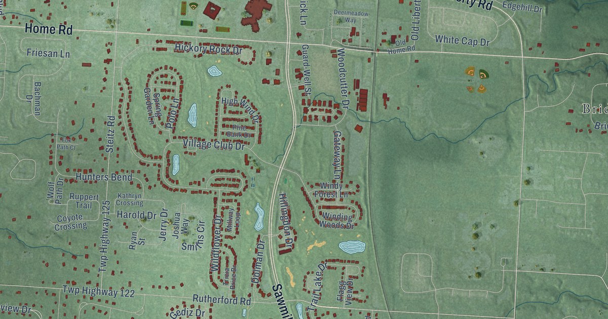
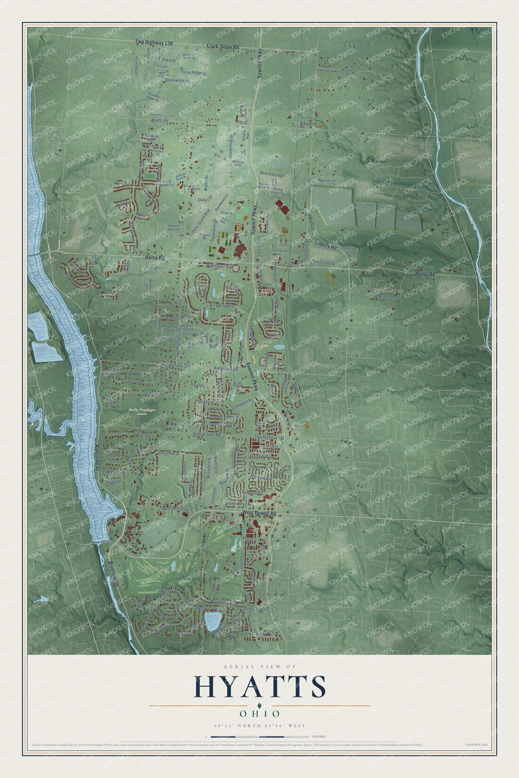
This beautifully detailed map of Hyatts, Ohio was created in 2026 using aerial imagery combined with modern topographical, census, street and landmark data. It’s a one-of-a-kind view of Hyatts that combines accurate data with a vintage aesthetic. The map shows every building in its true location, many of the roads carry their names, and the shaded topographic relief shows the shape of the land.
Explore an aerial view of Hyatts, Ohio
On the map you’ll find Emily Traphagen Preserve, Bridlespur, and Safari Golf Club, along with West Powell Road, Liberty Road, Sawmill Parkway, Riverside Drive, Home Road, Clark-Shaw Road, Twp Highway 139, Rutherford Road, Twp Highway 122, and more. If you look closely you can even find your house accurately drawn in its correct location. Zoom in on the preview to look for yours.
Did You Know?
From Internet Archive: "The Methodists of Tippecanoe, needing a house of worship, erected one in Hyattsville, which has since become a part of the larger town."
Hyatts is a community in Delaware County.
Take a closer look at the Hyatts map
Names on this map
These names are printed on this map.
Places: Emily Traphagen Preserve, Bridlespur and Safari Golf Club.
Streets and roads: West Powell Road, Liberty Road, Sawmill Parkway, Riverside Drive, Home Road, Clark-Shaw Road, Twp Highway 139, Rutherford Road, Twp Highway 122, Hyatts Road, Fairway Drive, Big Bear Avenue.
More street names, A to Z
Aberdeen Avenue, Addington Place, Alyssa Drive, Autumn Grove Drive, Bachman Drive, Bakircay Lane, Bayhill Drive, Baypointe Drive, Baytree Drive, Beacon Street, Beechwood Drive, Berwanger Drive, Bluejay Ridge Drive, Blue Water Drive, Boone Drive, Bradford Court, Braemar Drive, Brewster Lane, Bridgewater Drive, Bridlespur Lane, Brinsworth Drive, Buxton Place, Campden Lakes Boulevard, Canterbury Drive, Cascade Drive, Celebration Drive, Coldwater Drive, Copeland Court, Coyote Crossing, Creighton Drive, Crimson Stone Drive, Davis Circle, Deermeadow Way, Deer Path Court, Dolman Drive, Dulles Drive, Eagles Landing Drive, Eckington Drive, Edgehill Drive, Emerson Drive, Esin Court, Ewing Court, Fairlane Drive, Farmington Avenue, Filiz Lane, Flagg View Drive, Foresta Grand Drive, Forest Glen Place, Fox Path Court, Freesia Drive, Friesan Lane, Gateway Boulevard, Gateway Lane, Gediz Drive, Gibson Drive, Glen Lakes Drive, Glenmeir Court, Glenmore Drive, Glick Road, Golden Way, Grand Club Drive, Greyson Drive, Guard-Well Street, Hampshire Avenue, Hardin Lane, Harmony Lane, Harold Drive, Harvest Point Drive, Heather Ridge Drive, Heathrow Drive, Hickory Rock Drive, High Wind Drive, Hillingdon Drive, Hunter Lake Drive, Hunters Bend, Ibanez Drive, Ideal Lane, Ireland Court, Jerry Drive, Joshua Way, Juliana Circle, Kathryn Crossing, Kellogg Drive, Kinsale Lane, Korg Street, Lakeview Drive, Landgate Drive, Landhigh Lakes Drive, Laurel Valley Drive, Legacy Road, Liberty Grand Boulevard, Lilac Lane, Limerick Lane, Linksway Drive, Ludwig Street, Mack Court, Main Street, Maple Leaf Court, Marlebury End, Mead Drive, Meadowhaven Drive, Menderes Drive, Millstone Loop, Millwater Drive, Millway Loop, Moors Edge Lane, Moreland Street, Nelson Lane, Niblick Place, Northbluff Lane, North Hampton Drive, Old Home Road, Old Liberty Road, Orchard Way, Oxford Circle, Pasture Ridge Drive, Pine Bank Drive, Polo Lane, Preston Way, Pyke Drive, Regent Street, Rocky Ridge Drive, Rosalind Boulevard, Rosalind Lane, Ruppert Trail, Rutherford Estates Drive, Ryan Street, Scenic View Drive, Schuette Drive, Scioto Chase Boulevard, Scioto Parkway, Scioto Ridge Drive, Seldom Seen Road, Shadowfair Lane, Shaffer Drive, Sheffield Avenue, Shoal Way, Sibel Court, Sighthill Avenue, Sinatra Way, Smiths Circle, Southwind Drive, Spring Garden Lane, Springwick Court, Steitz Road, Stratford Avenue, Sunset Court, Sunset Drive, Tag Drive, Trail Lake Drive, Tricia Price Drive, Twp Highway 121, Twp Highway 125, Twp Highway 267, Twp Highway 331, Valley Oak Drive, Verona Drive, Village Club Drive, Vista Walk Lane, Waterford Drive, Wayne Brown Drive, Wellington Boulevard, West Olentangy Street, Westward Way, Weymouth Avenue, White Cap Drive, Wilbrook Drive, Wildflower Drive, Winchcombe Drive, Winding Woods Drive, Windkeep Way, Windsor Way, Windy Forest Lane, Wolf Path Drive, Woodbridge Avenue, Woodcutter Drive.
See it on a wall
The Hyatts map as a framed print. Swipe for more.


This beautifully detailed map of Hyatts makes an attractive addition to your office, library, or den, and it can even be used to teach children the geography and history of the area. It also makes a great gift for anyone who grew up in Hyatts or moved away. When you’re done exploring, click here to get your copy of the Hyatts map.