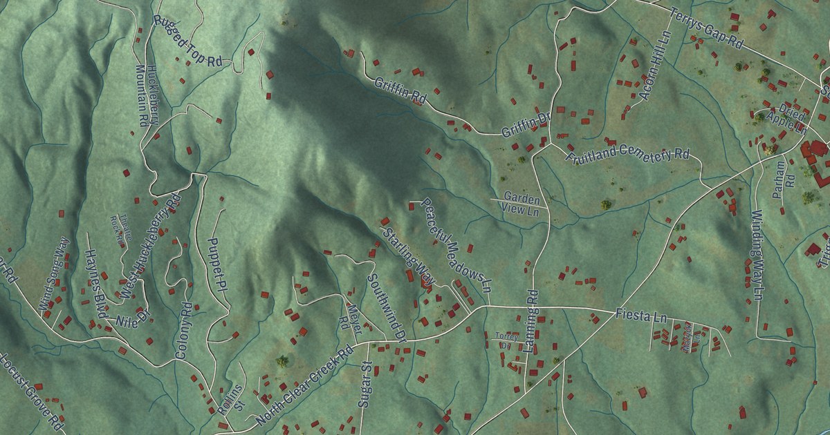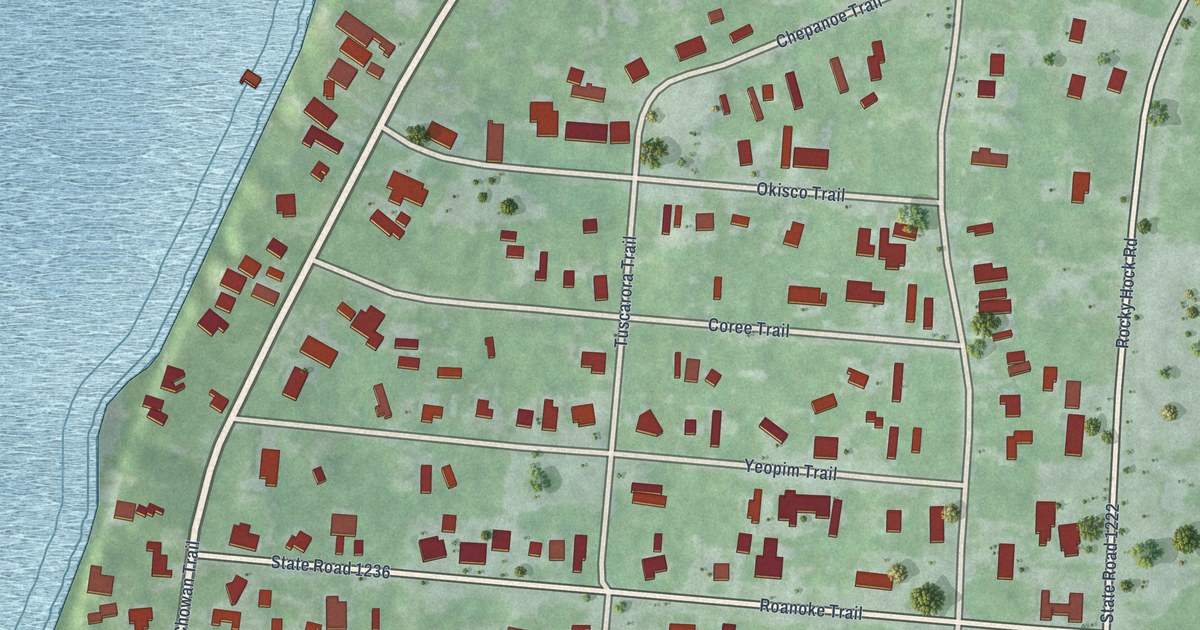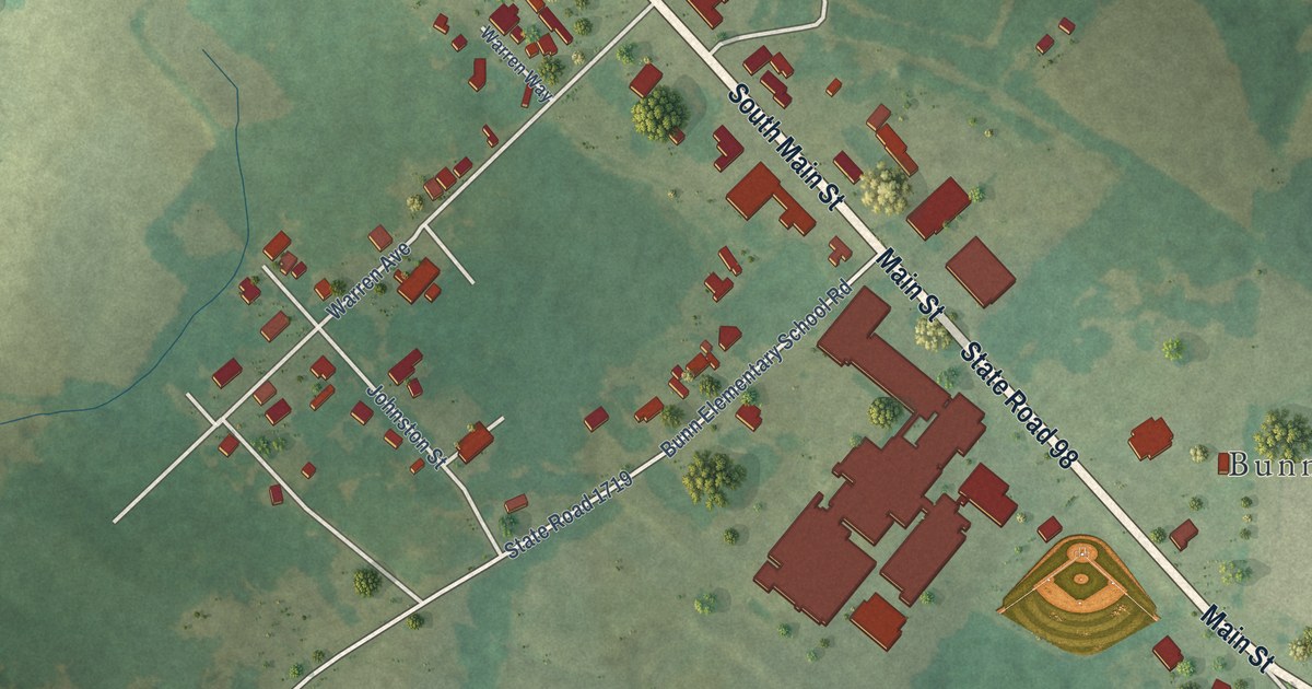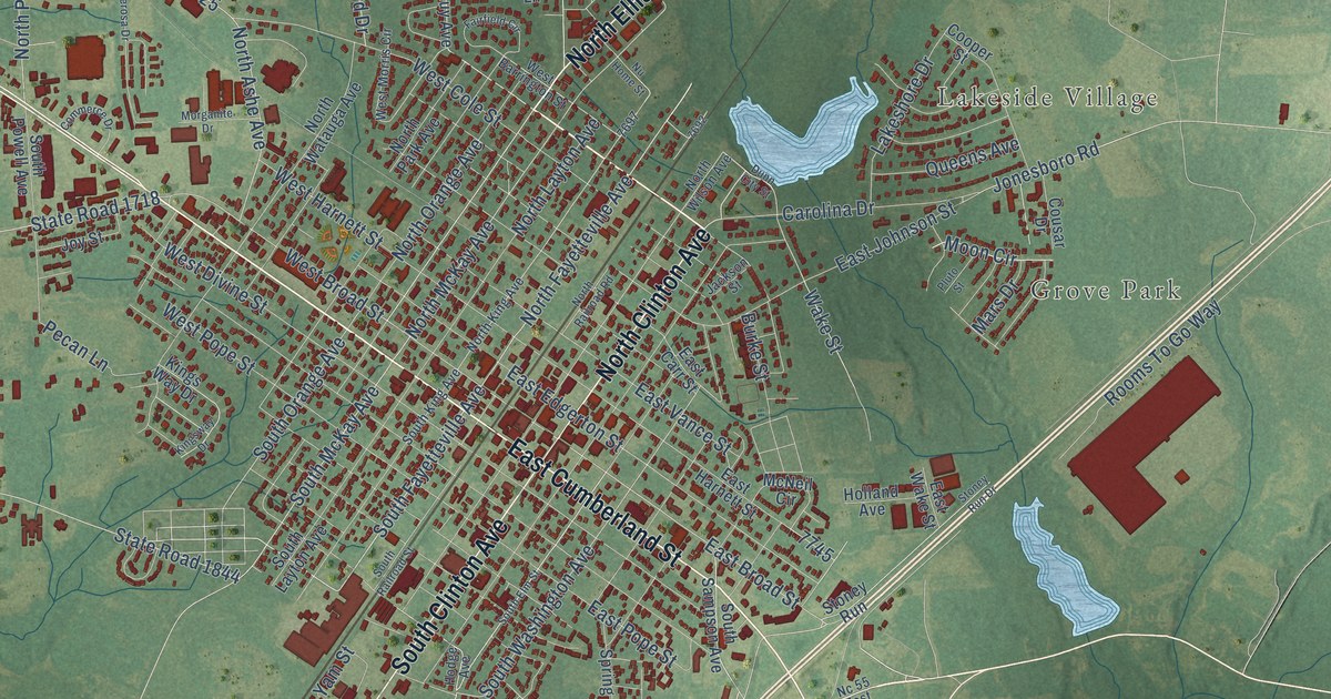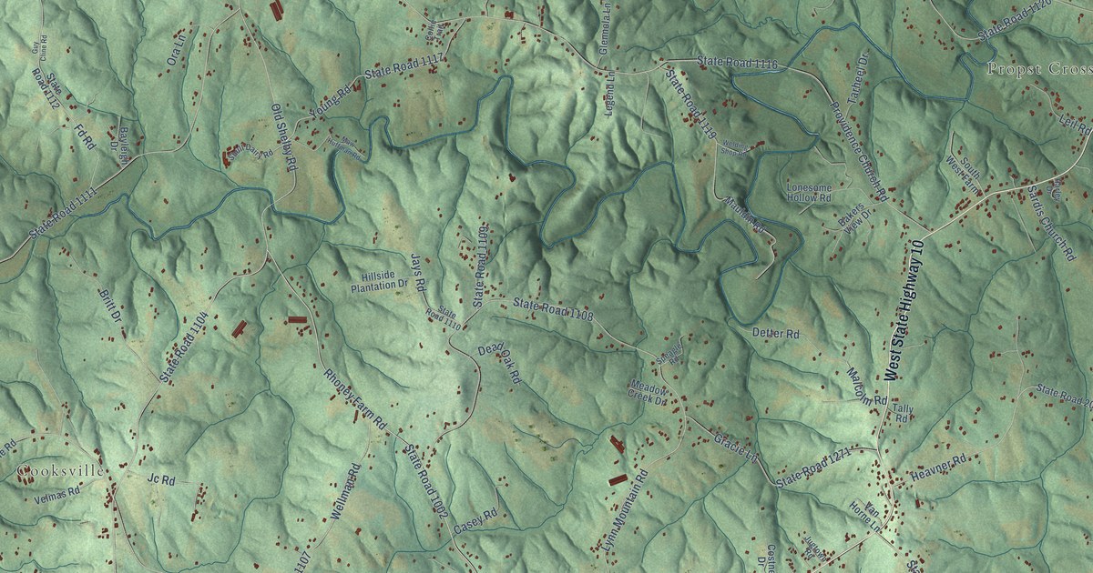
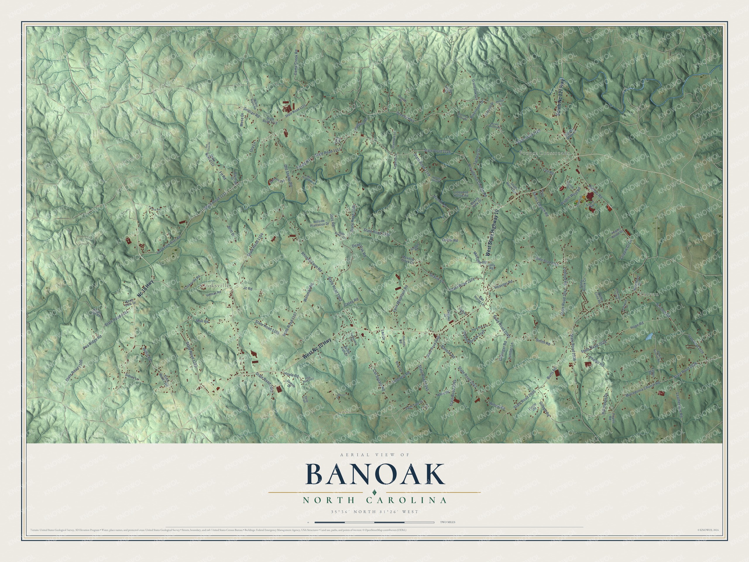
This beautifully detailed map of Banoak, North Carolina was created in 2026 using aerial imagery combined with modern topographical, census, street and landmark data. It’s a one-of-a-kind view of Banoak that combines accurate data with a vintage aesthetic. The map shows every building in its true location, many of the roads carry their names, and the shaded topographic relief shows the shape of the land.
Explore an aerial view of Banoak, North Carolina
On the map you’ll find Plateau, Propst Crossroads, and Cooksville, along with West State Highway 10, West Nc 10 Highway, Nc 18 Highway, South Nc 127 Highway, Rhoney Farm Road, Cat Square Road, Banoak Road, State Road 2044, State Road 1104, and more. If you look closely you can even find your house accurately drawn in its correct location. Zoom in on the preview to look for yours.
Take a closer look at the Banoak map
Names on this map
These names are printed on this map.
Places: Plateau, Propst Crossroads and Cooksville.
Streets and roads: West State Highway 10, West Nc 10 Highway, Nc 18 Highway, South Nc 127 Highway, Rhoney Farm Road, Cat Square Road, Banoak Road, State Road 2044, State Road 1104, State Road 1002, Old Shelby Road, Plateau Road.
More street names, A to Z
Bakers Glade Lane, Bakers View Drive, Bayleigh Drive, Beryl Drive, Bridle Path Drive, Britt Drive, Brittian Road, Burts Road, Camp Creek Road, Casey Road, Chasity Drive, Collie Trail, Cooksville Road, Costner Drive, Crippie Cr Lane, Daisy Trail, Dansbury Lane, Dead Oak Road, Dellinger Road, Dennis Drive, Detter Road, Donalds Drive, Fd Road, Flint Hill Drive, Florist Road, Foard Road, Gilbert Road, Glennola Lane, Gracie Lane, Grand Oaks Lane, Greedy Highway, Guy Cline Road, Harley Drive, Heatherbrook Trail, Heavner Road, Hill Haven Drive, Hillside Plantation Drive, Hoot Owls Hollow Road, Hope Road, Houser Road, Hoyle Road, Hudson Road, Jacob Fork River Road, Jays Road, Jc Road, Journeys Pass, Jugtown Road, Keeneland Trail, Kiwi Lane, Knob View Drive, Lail Drive, Lanes Road, Leafwood Lane, Leatherman Road, Ledford Road, Lefevers Road, Legend Lane, Leil Road, Lonesome Hollow Road, Lumber Lane, Lynn Mountain Road, Macedonia Church Road, Malcolm Road, Mauldin Road, Maw Huffman Road, Meadow Creek Drive, Melrose Drive, Mesa Drive, Mull Road, Murphy Weaver Road, Ora Lane, Palm Tree Drive, Peace Haven Drive, Pea Ridge Road, Persimmon Tree Road, Phelps Road, Porter Cline Road, Powell Road, Providence Church Road, Prysock Avenue, Rivermont Drive, Roger Hill Road, Sardis Church Road, Scronce Road, Shull Dairy Road, Sidney Lane, Smith Road, South West Farm, Speagle Road, State Road 1100, State Road 1101, State Road 1102, State Road 1103, State Road 1105, State Road 1107, State Road 1108, State Road 1109, State Road 1110, State Road 1111, State Road 1112, State Road 1113, State Road 1115, State Road 1116, State Road 1117, State Road 1119, State Road 1120, State Road 1271, State Road 2026, State Road 2028, State Road 2029, State Road 2035, State Road 2036, State Road 2040, State Road 2041, State Road 2042, State Road 2043, State Road 2045, State Road 2046, State Road 2047, State Road 2063, Stony Brook Circle, Tally Road, Tanglewood Drive, Tarheel Drive, Trinity Lane, Van Horne Lane, Velmas Road, Wagon West Road, Welding Shop Road, Wellman Road, White Road, Wilkes Grove Road, Willis Road, Wilson Road, Wrenwood Drive, Young Road, Zonnie Scronce Road.
See it on a wall
The Banoak map as a framed print. Swipe for more.


This beautifully detailed map of Banoak makes an attractive addition to your office, library, or den, and it can even be used to teach children the geography and history of the area. It also makes a great gift for anyone with Banoak roots. When you’re done exploring, click here to get your copy of the Banoak map.