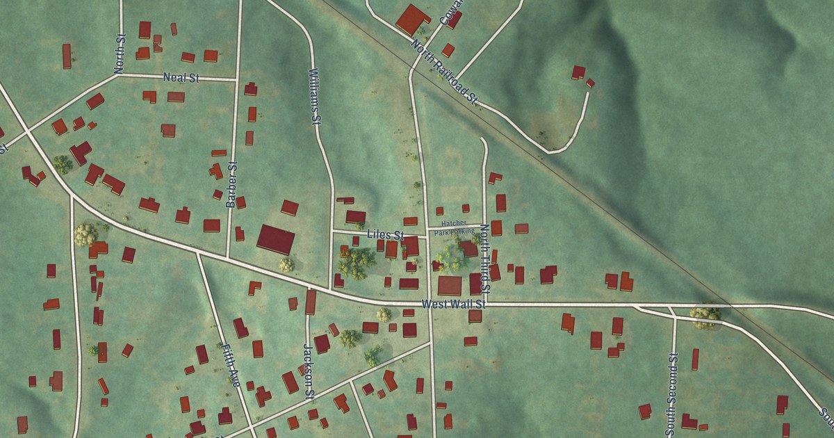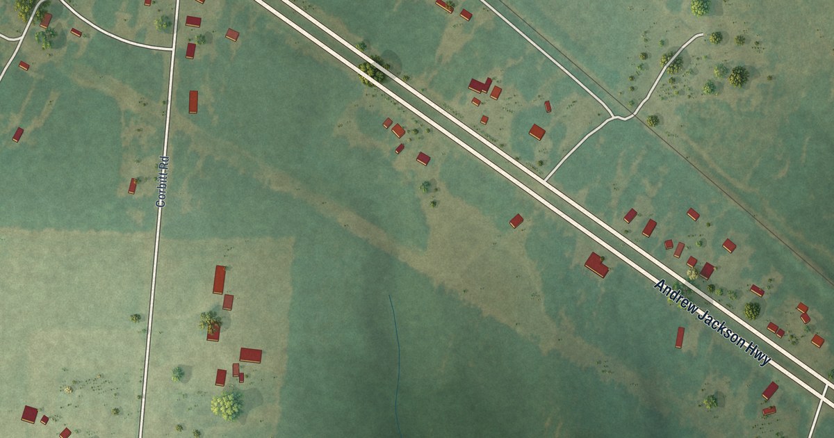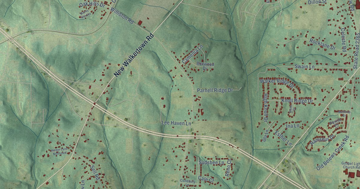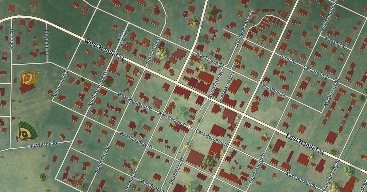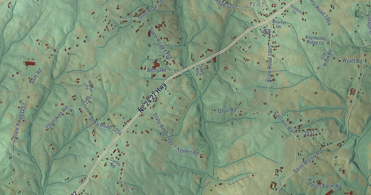
This beautifully detailed map of Endy, North Carolina was created in 2026 using aerial imagery combined with modern topographical, census, street and landmark data. It’s a one-of-a-kind view of Endy that combines accurate data with a vintage aesthetic. The map shows every building in its true location, many of the roads carry their names, and the shaded topographic relief shows the shape of the land.
Explore an aerial view of Endy, North Carolina
On the map you’ll find Cedar Village, Bloomington, Frog Pond, Saint Martin, Hills, and Nc 24 27, along with Nc 24 27 Highway, State Road 1968, April Lane, Hartsell Road, Saint Martin Road, State Road 1963, and more. If you look closely you can even find your house accurately drawn in its correct location. Zoom in on the preview to look for yours.
Take a closer look at the Endy map
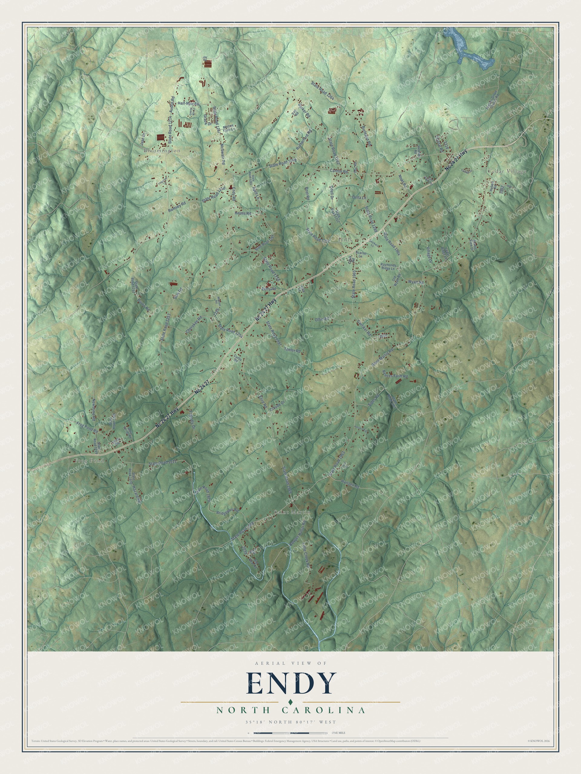
Names on this map
These names are printed on this map.
Places: Cedar Village, Bloomington, Frog Pond, Saint Martin and Hills.
Streets and roads: Nc 24 27 Highway, Nc 24 27, State Road 1968, April Lane, Hartsell Road, Saint Martin Road, State Road 1963, Canton Road, State Road 1249, Austin Road, State Road 1214, State Road 1969.
More street names, A to Z
Betty Road, Big Bear Road, Booger Hollar Road, Bost Road, Bridgeport Road, Burleson Road, Burris Road, Carriker Road, Cedar Ridge Lane, Cherokee Road, Clark Road, Claude Drive, Crisco Drive, Crystal Road, Curtis Road, Della Lane, Doc Road, Efird Road, Endy Road, Firelight Court, Flagstone Lane, Friendly Drive, Frog Pond Road, Grace Drive, Half-Mile Road, Hazard Road, Helms Road, Herman Road, Hobert Road, Hollybrook Drive, Jase Drive, Jay Road, Julia Lane, Little Creek Road, Lorch Road, Maxton Road, McSwain Road, Molly Springs Road, Morton Farm Lane, Newsome Road, Newt Road, Odell Drive, Offie Road, Old Wyatt Road, Parker Road, Poplins Grove Church Road, Quarter Mile Lane, Ramsey Road, Raymonds Ridge Lane, Reeces Farm Road, Rutherford Road, Sam Road, Scarlet Lane, Scenic View Drive, Sides Road, Snickers Lane, State Road 1219, State Road 1221, State Road 1247, State Road 1250, State Road 1252, State Road 1253, State Road 1254, State Road 1256, State Road 1257, State Road 1259, State Road 1262, State Road 1264, State Road 1285, State Road 1287, State Road 1288, State Road 1309, State Road 1312, State Road 1964, State Road 1965, State Road 1967, State Road 1970, State Road 1979, State Road 1997, Teeter Road, Village Drive, Von Road, Wayne Drive, Wyatt Road.
See it on a wall
The Endy map as a framed print. Swipe for more.


This beautifully detailed map of Endy makes an attractive addition to your office, library, or den, and it can even be used to teach children the geography and history of the area. It also makes a great gift for anyone who grew up in Endy or moved away. When you’re done exploring, click here to get your copy of the Endy map.