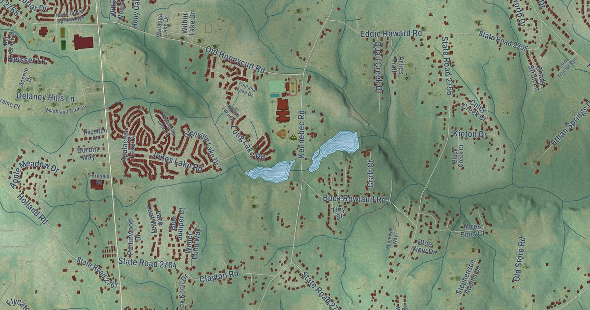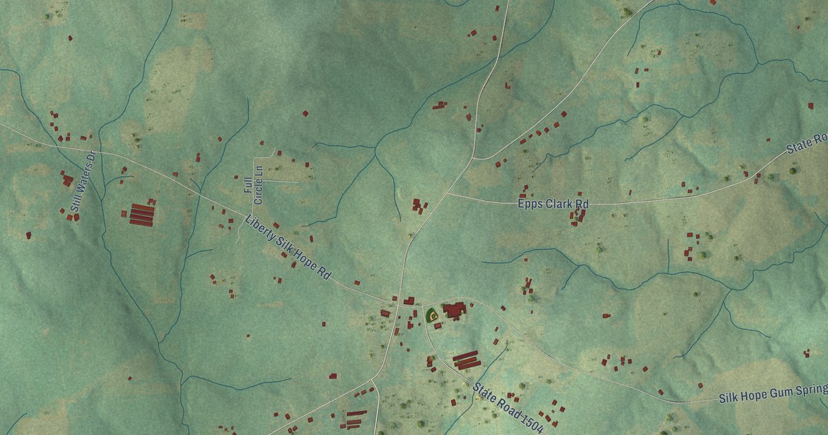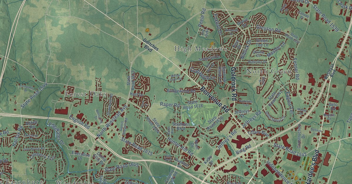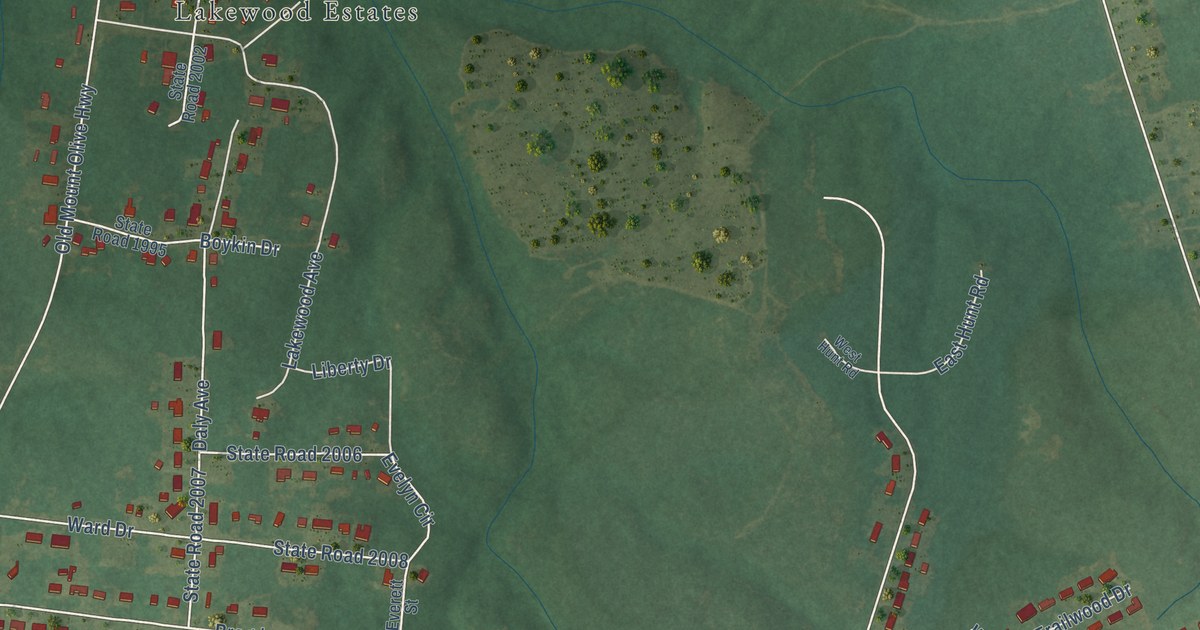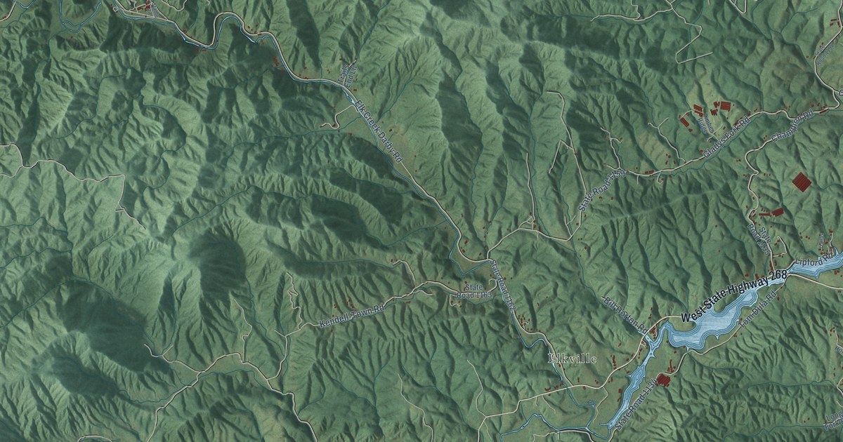
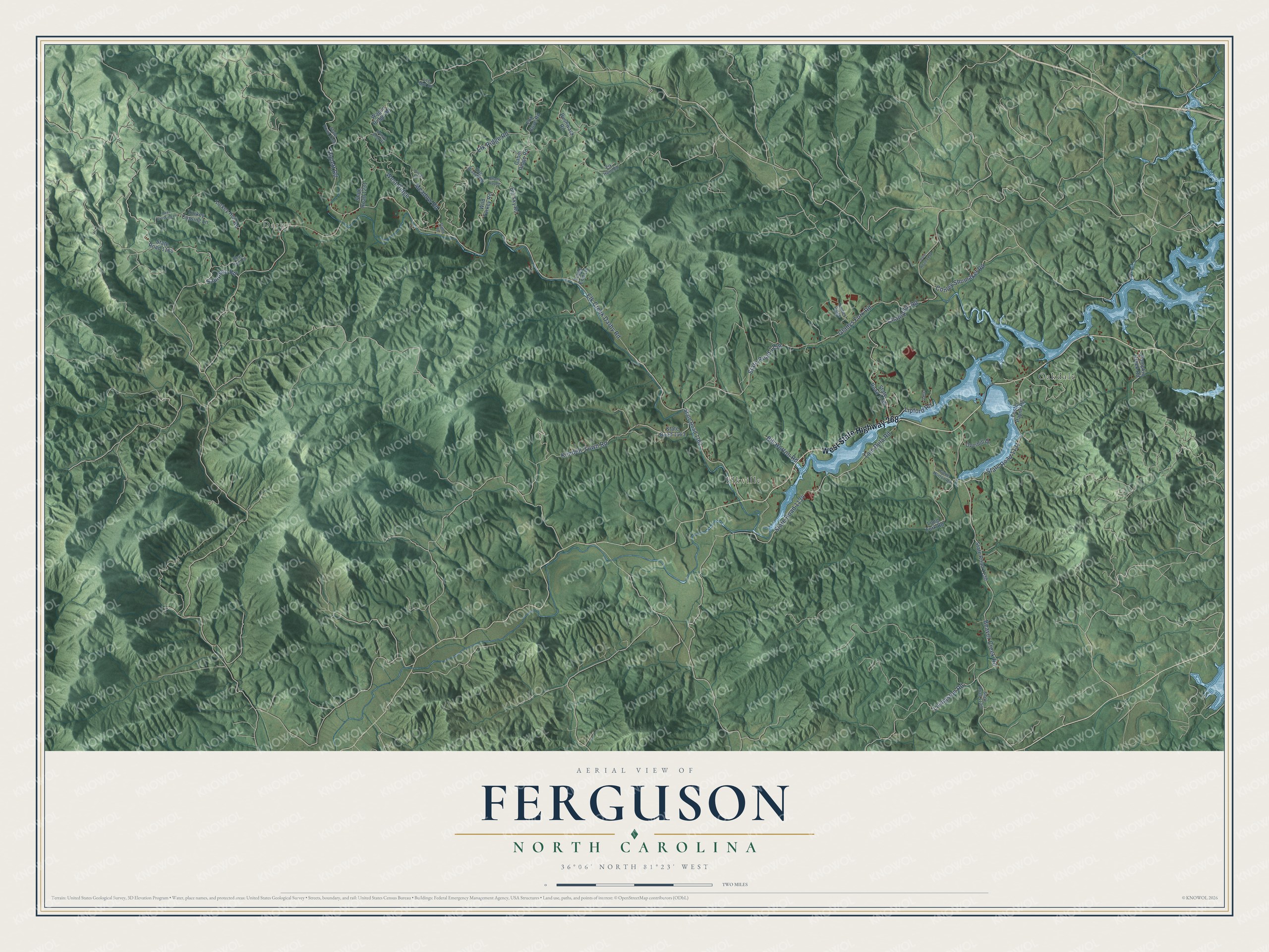
This beautifully detailed map of Ferguson, North Carolina was created in 2026 using aerial imagery combined with modern topographical, census, street and landmark data. It’s a one-of-a-kind view of Ferguson that combines accurate data with a vintage aesthetic. The map shows every building in its true location, many of the roads carry their names, and the shaded topographic relief shows the shape of the land.
Explore an aerial view of Ferguson, North Carolina
On the map you’ll find Darby, Oakdale, and Elkville, along with West State Highway 268, Livingston Road, Tom Dula Road, Elk Creek Darby Road, Elk Ridge Road, Beaver Creek Road, Gladys Fork Road, State Road 1159, State Road 1131, and more. If you look closely you can even find your house accurately drawn in its correct location. Zoom in on the preview to look for yours.
Did You Know?
From Internet Archive: "' On the spot where Ferguson was slain, a plain stone has been erected to the memory of that officer, and of Americans who were killed."
Ferguson is a community in Wilkes County.
Take a closer look at the Ferguson map
Names on this map
These names are printed on this map.
Places: Darby, Oakdale and Elkville.
Streets and roads: West State Highway 268, Livingston Road, Tom Dula Road, Elk Creek Darby Road, Elk Ridge Road, Beaver Creek Road, Gladys Fork Road, State Road 1159, State Road 1131, State Road 1134, Champion Road, Sampson Road.
More street names, A to Z
Bear Run Road, Big Sky Road, Bill Horton Road, Bushwack Road, Cabin Ridge Road, Conley Shumaker Road, Dallas, Deer Crossing Lane, Elk Horn Road, Flag Branch Road, Foster Payne Road, Fox Cove Road, Gene Horton Road, Grouse Beak Road, Hunter Road, Kendell-Town Road, Lee Mnt Road, Lipford Road, Long Fork Road, Meadow Road, Overhill Drive, Pumpkin Creek Road, Shady Haven, Stable Road, State Road 1129, State Road 1130, State Road 1135, State Road 1158, State Road 1162, State Road 1163, State Road 1164, State Road 1166, State Road 1231, Timber Ridge, Trails End Lane, Triplett Road, Turkey Cossing Lane, Turkey Hen Road, Wagon Ridge Road, West Ridge, Wild Turkey Road.
See it on a wall
The Ferguson map as a framed print. Swipe for more.


This beautifully detailed map of Ferguson makes an attractive addition to your office, library, or den, and it can even be used to teach children the geography and history of the area. It also makes a great gift for anyone who grew up in Ferguson or moved away. When you’re done exploring, click here to get your copy of the Ferguson map.