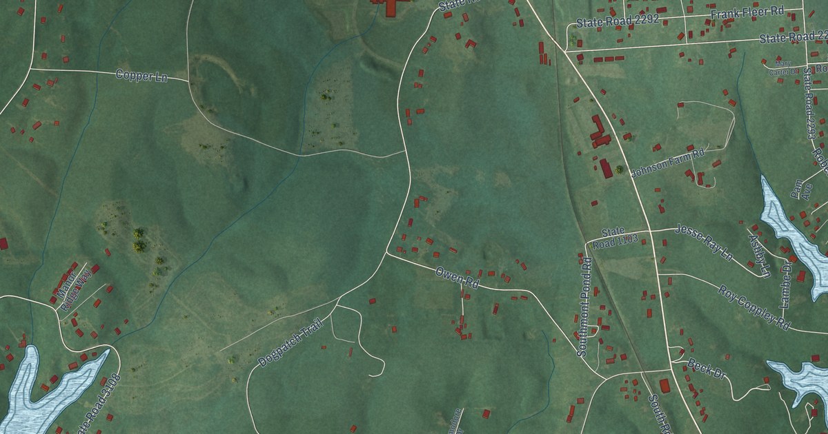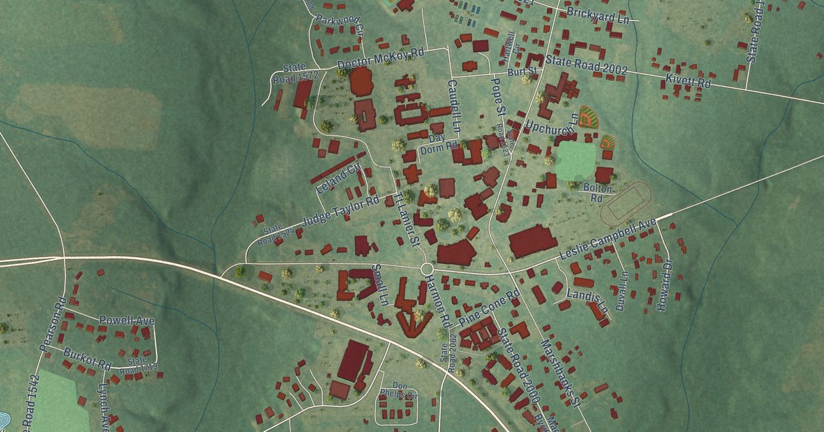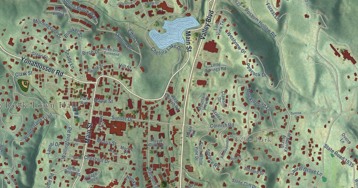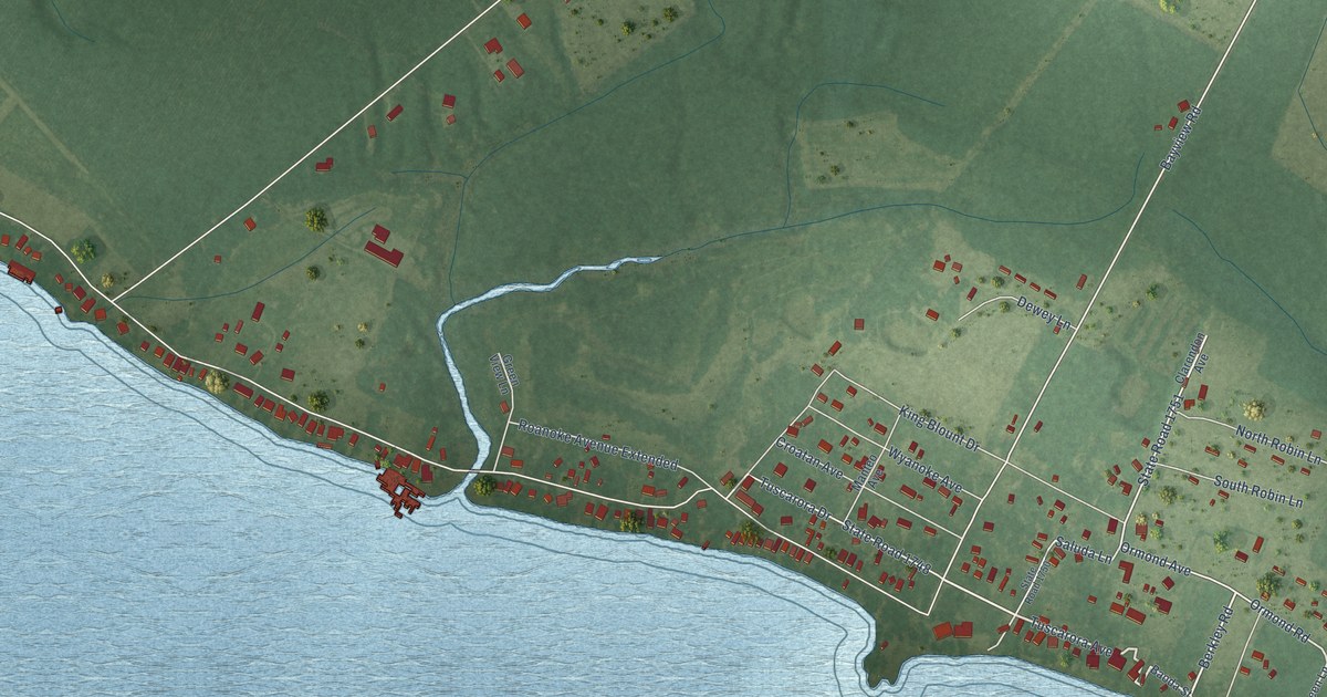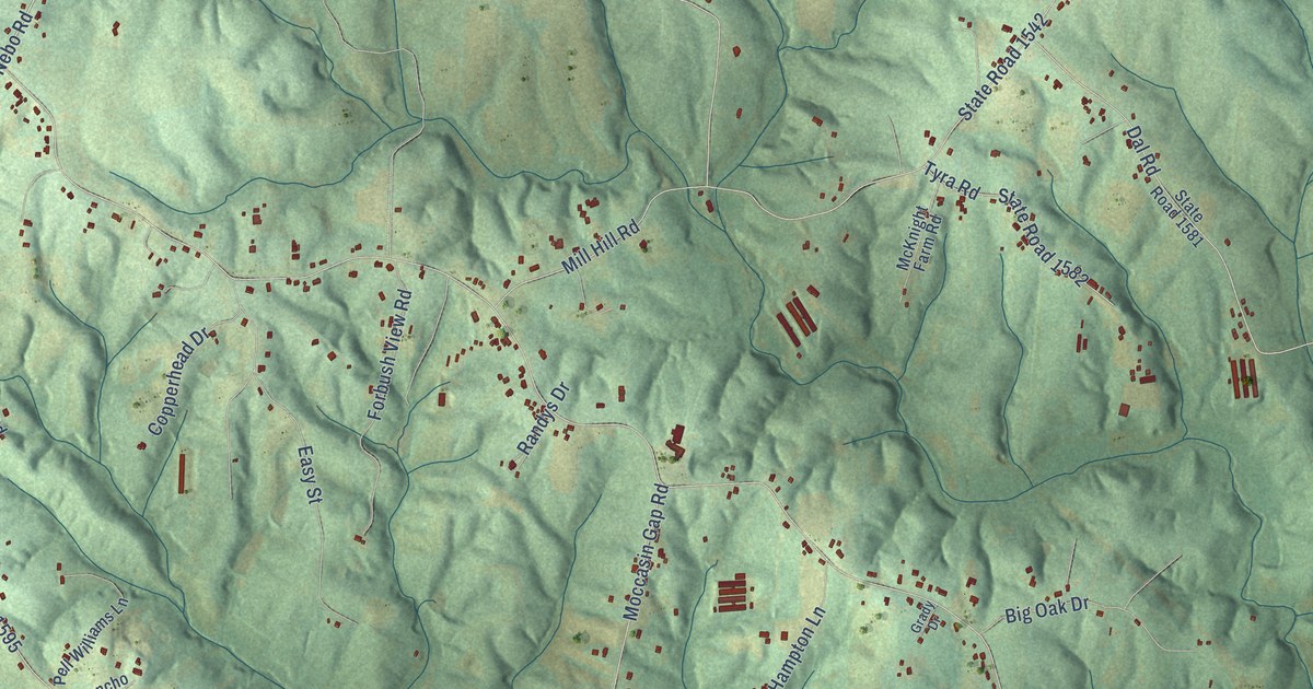
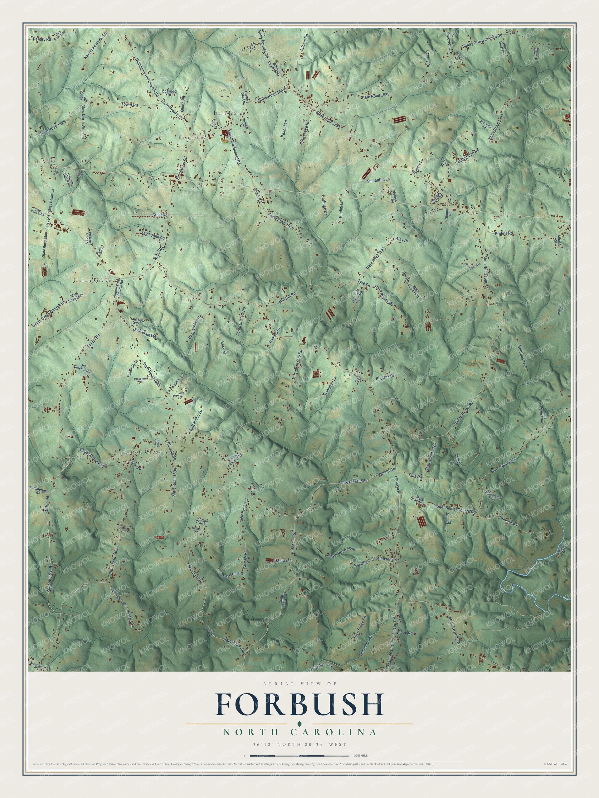
This beautifully detailed map of Forbush, North Carolina was created in 2026 using aerial imagery combined with modern topographical, census, street and landmark data. It’s a one-of-a-kind view of Forbush that combines accurate data with a vintage aesthetic. The map shows every building in its true location, many of the roads carry their names, and the shaded topographic relief shows the shape of the land.
Explore an aerial view of Forbush, North Carolina
On the map you’ll find Five Forks, Poindexter, Union Grove, and Union Cross, along with State Road 1570, State Road 1003, State Road 1595, Bovendertown Road, Griffin Road, State Road 1591, State Road 1584, State Road 1541, and more. If you look closely you can even find your house accurately drawn in its correct location. Zoom in on the preview to look for yours.
Did You Know?
From Internet Archive: "When it was completed he moved back to Taylorsville and served Laurel Springs then Forbush Baptist Church from 1951-1959."
Forbush is a community in Yadkin County.
Take a closer look at the Forbush map
Names on this map
These names are printed on this map.
Places: Five Forks, Poindexter, Union Grove and Union Cross.
Streets and roads: State Road 1570, State Road 1003, State Road 1595, Bovendertown Road, Griffin Road, State Road 1591, State Road 1584, State Road 1541, Siloam Road, Smithtown Road, Nebo Road, State Road 1509.
More street names, A to Z
Addison Road, Alex Drive, Athalee Road, Beauty Drive, Big Dog Trail, Big Oak Drive, Black Diamond Lane, Blessings Road, Blow North Wind Lane, Bottoms Trail, Buck Ford Drive, Caudle Farm Road, Century Oak Lane, Chance Drive, Choplin Road, Copperhead Drive, Crest Road, Dal Road, Dewey Lane, Dixie Lane, Dogwood Drive, Doub Road, Easy Street, Eula Road, Falcon Road, Fall Creek School Road, Forbush Road, Forbush View Road, Genie Road, Glenn Road, Grady Drive, Gurney Road, Gypsie Lane, Hampton Lane, Hardy Drive, Hatchers Drive, Heritage Drive, High Ridge Road, Hill and Holler Road, Hobson Road, Holly Springs Road, Holy Ghost Drive, Hutchens Road, Indian Heaps Road, Jester Road, Joes Lake Road, Kentucky Home Road, Kittrell Drive, Lace Knoll Road, Larry Road, Lazy Acres Road, Linda Lane, Lineberry Drive, Marvin's Drive, Marvins Road, Maye House Lane, McKnight Farm Road, Meadow View Road, Mickadams Road, Mill Hill Road, Mims Ship Trail, Minnie Scott Lane, Moccasin Gap Road, Mount Bethel Church Road, Noel Wood Lane, Old Fletcher Road, Old Ridge Road, Peanut Lane, Pell Williams Lane, Pendry Road, Pinewood Drive, Poncho Lane, Poultry Lane, Pride's Road, Primrose Court, Puppy Love Drive, Rachel Lane, Randys Drive, Richmond Hill Church Road, Rockett Road, Rottie Dobie Lane, Ruff Hollar Drive, Saint John Road, Samantha Lane, Scott Road, Shady Grove Church Road, Shume Road, Simplicity Drive, Smitherman Road, Snider Road, State Road 1525, State Road 1526, State Road 1527, State Road 1533, State Road 1538, State Road 1539, State Road 1542, State Road 1543, State Road 1578, State Road 1579, State Road 1580, State Road 1581, State Road 1582, State Road 1583, State Road 1585, State Road 1586, State Road 1592, State Road 1593, State Road 1594, State Road 1596, State Road 1597, State Road 1598, State Road 1599, State Road 1600, State Road 1608, State Road 1627, State Road 1953, Sugarcreek Drive, Sugartown Road, Summertime Road, Sylvania Drive, Thirty-Thirty Drive, Timberland Trail, Tink Drive, Tower Road, Tyra Road, Union Cross Church Road, Union Grove Church Road, Wade Adams Court, Willard Drive, William Road, Wooten Farm Road.
See it on a wall
The Forbush map as a framed print. Swipe for more.


This beautifully detailed map of Forbush makes an attractive addition to your office, library, or den, and it can even be used to teach children the geography and history of the area. It also makes a great gift for someone who left Forbush and still calls it home. When you’re done exploring, click here to get your copy of the Forbush map.