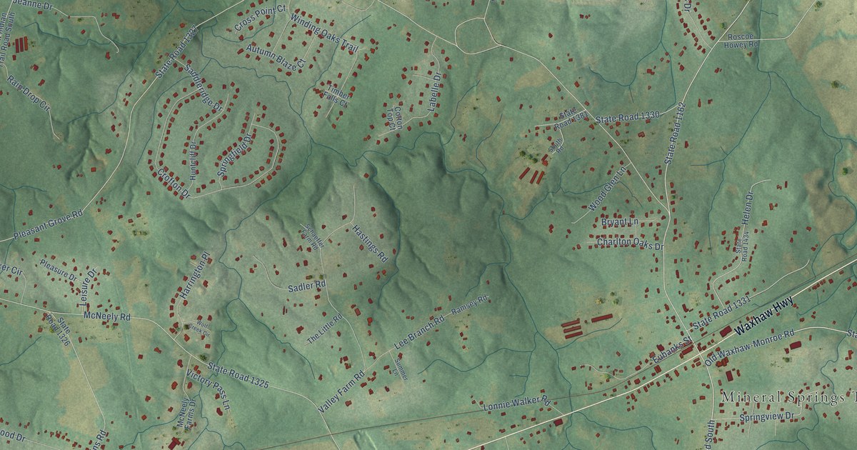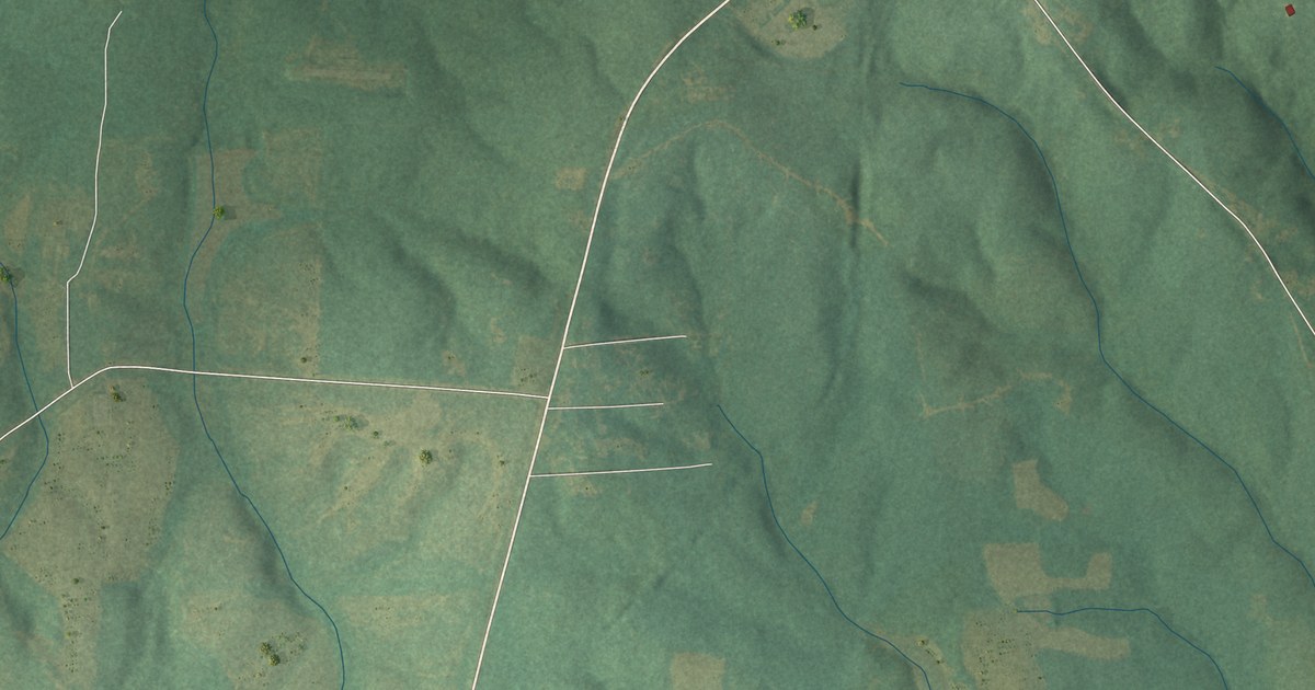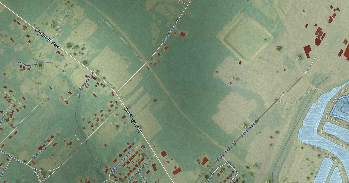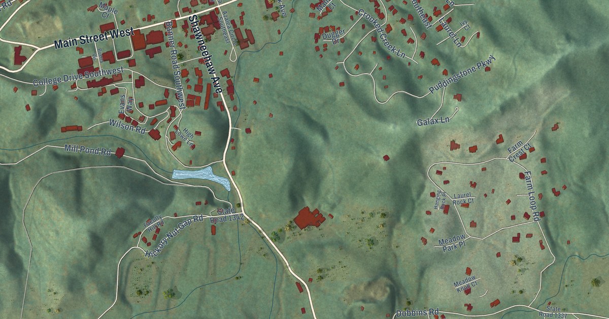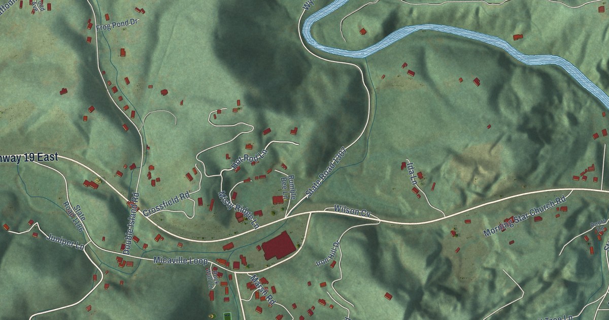
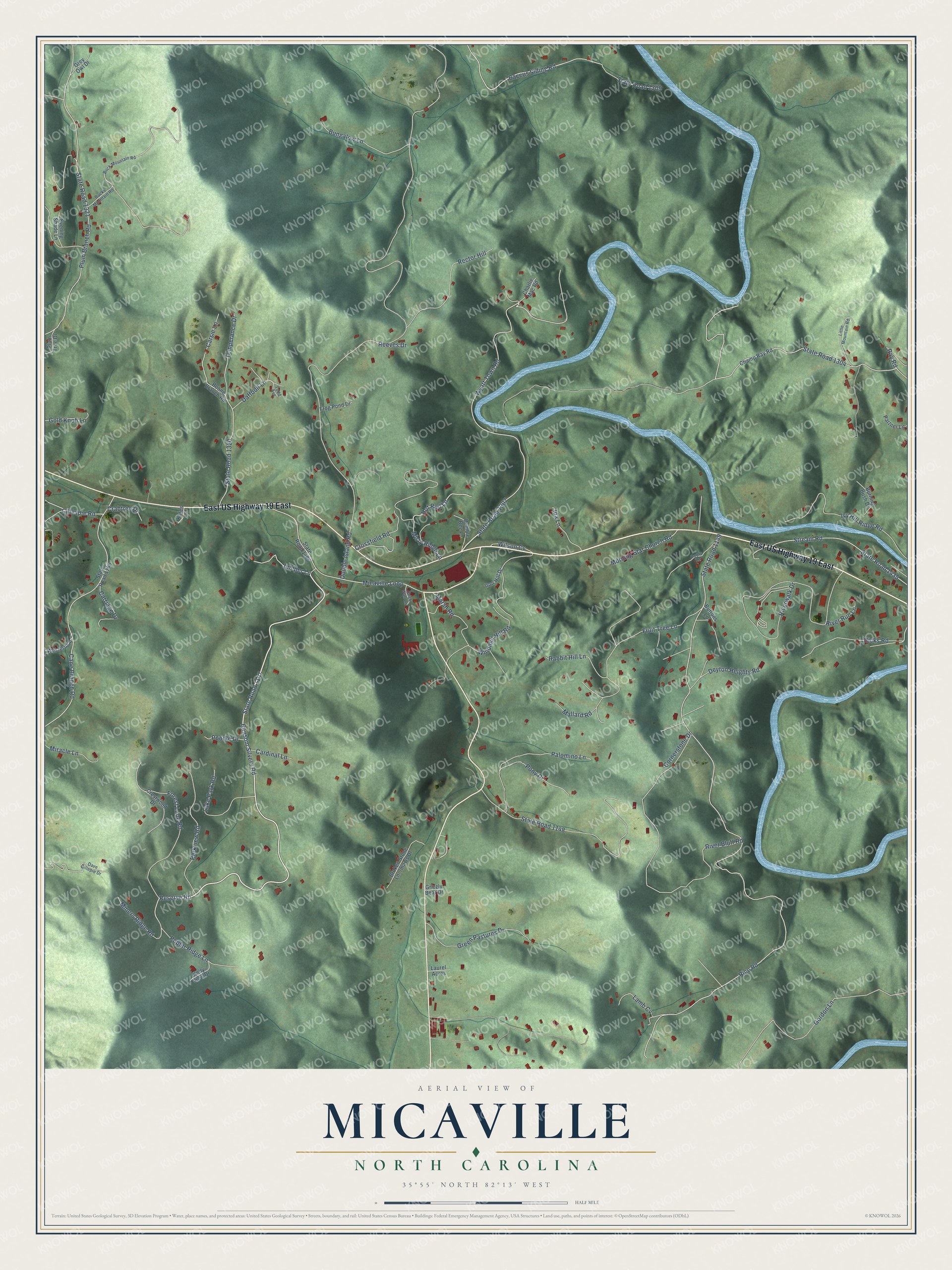
This beautifully detailed map of Micaville, North Carolina was created in 2026 using aerial imagery combined with modern topographical, census, street and landmark data. It’s a one-of-a-kind view of Micaville that combines accurate data with a vintage aesthetic. The map shows every building in its true location, many of the roads carry their names, and the shaded topographic relief shows the shape of the land.
Explore an aerial view of Micaville, North Carolina
On the map you’ll find East US Highway 19 East, along with State Road 1147, Ransom Silvers Road, Reserve Road, State Road 1307, Hot Rod Lane, Baccus Siding Road, Double Island Road, Rice Road, State Road 1149, Wyatt Town Road, State Road 1304, and more. If you look closely you can even find your house accurately drawn in its correct location. Zoom in on the preview to look for yours.
Did You Know?
From Internet Archive: "From Burnsville one can get to this fair, wild valley by following down the Little Crabtree Creek four or five miles to Micaville, a village that consists of a post-office and very little else."
Micaville is a community in Yancey County.
Take a closer look at the Micaville map
Names on this map
These names are printed on this map.
Streets and roads: East US Highway 19 East, State Road 1147, Ransom Silvers Road, Reserve Road, State Road 1307, Hot Rod Lane, Baccus Siding Road, Double Island Road, Rice Road, State Road 1149, Wyatt Town Road, State Road 1304.
More street names, A to Z
Boone Branch Road, Buck Mountain Road, Bucks Mountain Road, Bumble Bee Lane, Bungalow Lane, Burning Bush Drive, Buttons Lane, Cane Branch Road, Cardinal Lane, Carriage Drive, Carsie Lane, Champ Ray Road, Charlie Mac Road, Cornerstone Drive, Crabtree Drive, Crestwood Drive, Crossfield Road, Daffodil Lane, Dave Gillepie Drive, Deyton Heights Road, Evening Shade Lane, Forest Lane Road, Frog Pond Drive, Fruit Tree Lane, Gillespie Road, Gold Knob Lane, Gordon Lane, Green Pastures Drive, Grey Owl Drive, Grizzly Bear Drive, Hicks Road, Ida Lane, Iron Hill Drive, Ivy Hill Ridge Road, Juniper Lane, Kates Lane, Kelly View Drive, Lake Park Road, Lamb Cv, Laurel Acres, Little Mountain Road, Mallard Road, Marsh Road, Micaville Loop, Miners Ridge Road, Miracle Lane, Misty Ridge Lane, Morning Star Church Road, Palomino Lane, Parkview Road, Partner Lane, Plum Branch Road, Plum Tree Drive, Pony Drive, Poodle Drive, Poors Lane, Poplar Ridge Lane, Rabbit Hill Lane, Ray Road, Rector Hill, Reeves Drive, River Bluff Road, River Run Lane, Riverwalk Drive, Rock Wall Lane, State Road 1146, State Road 1148, State Road 1186, State Road 1309, State Road 1320, State Road 1321, State Road 1435, Stream Road, Temperance Drive, Todd Avenue, Western Lane, Wilson Cv, Windmill Hill Road.
See it on a wall
The Micaville map as a framed print. Swipe for more.


This beautifully detailed map of Micaville makes an attractive addition to your office, library, or den, and it can even be used to teach children the geography and history of the area. It also makes a great gift for anyone with Micaville roots. When you’re done exploring, click here to get your copy of the Micaville map.