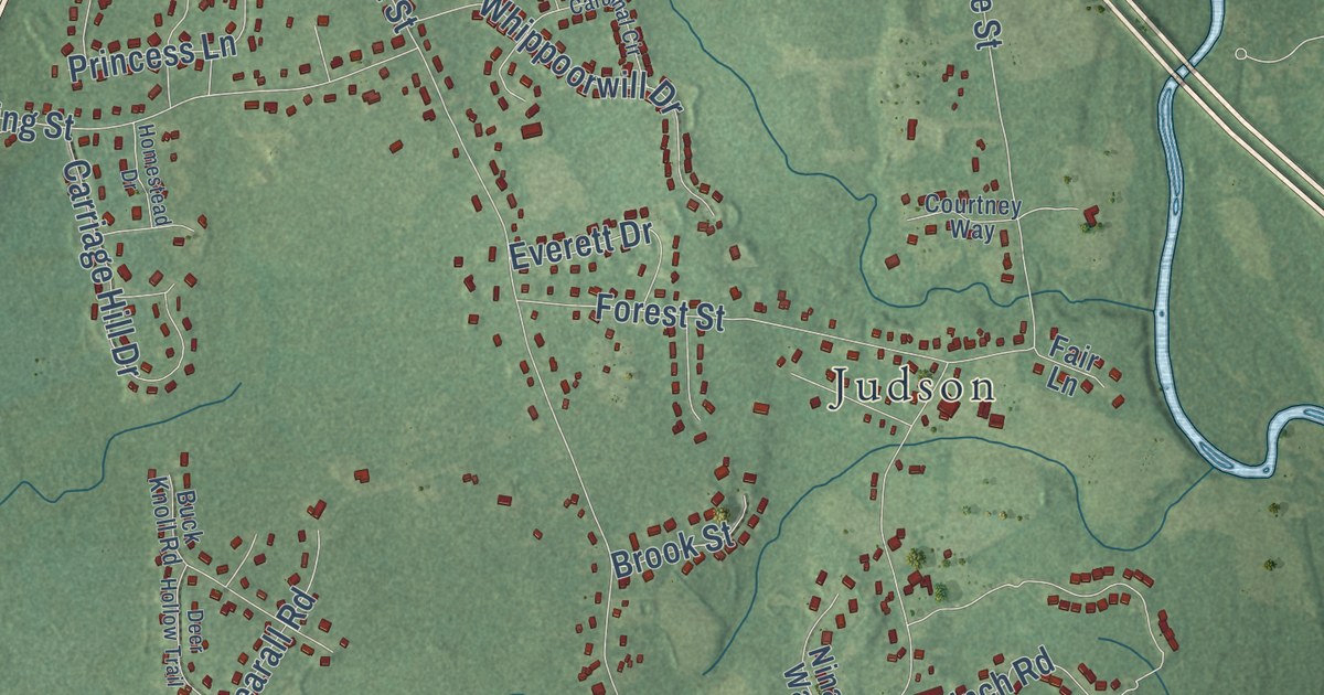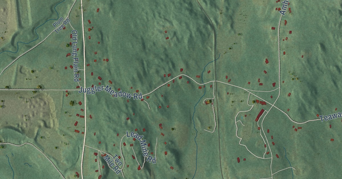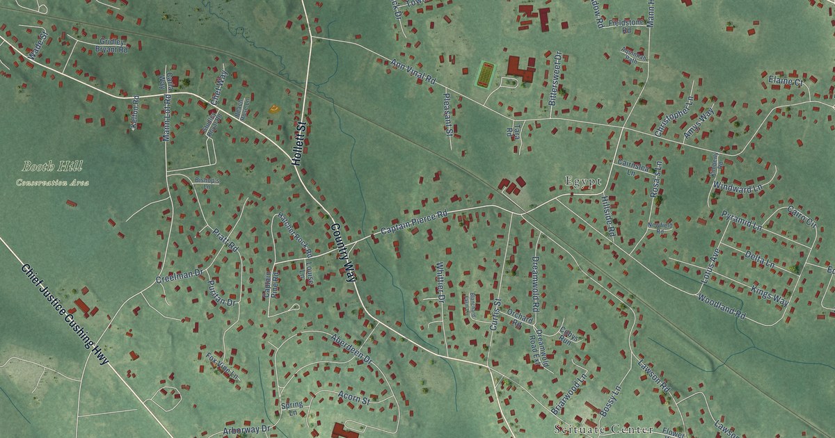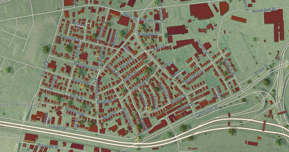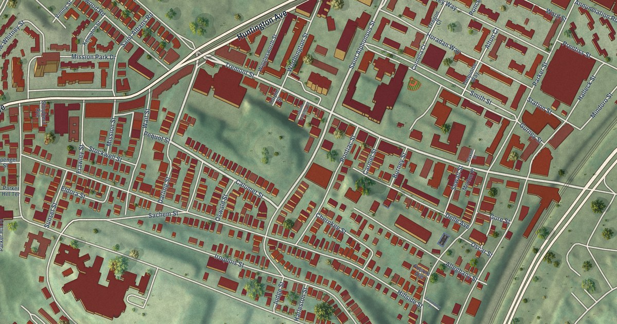
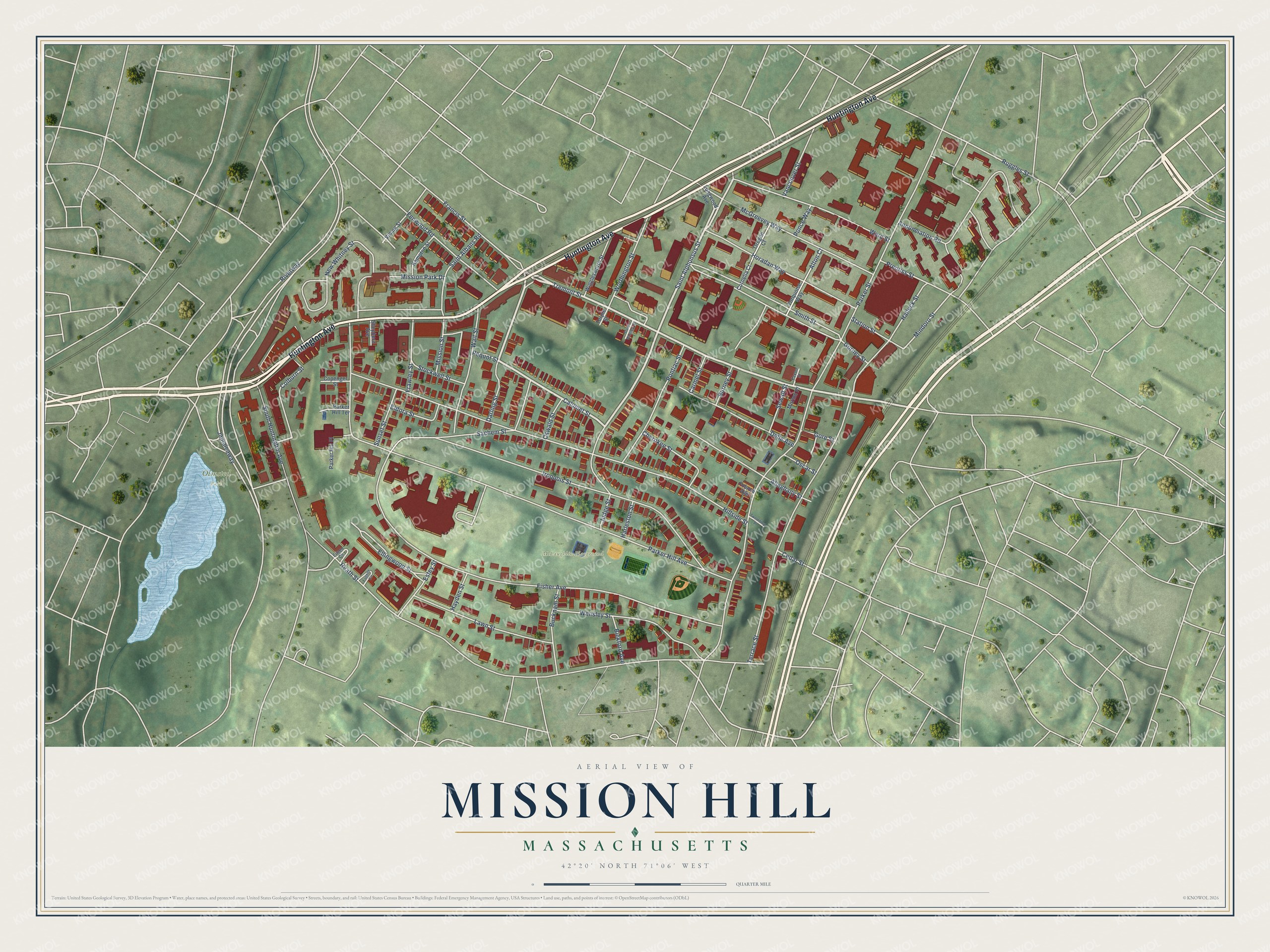
This beautifully detailed map of Mission Hill, Massachusetts was created in 2026 using aerial imagery combined with modern topographical, census, street and landmark data. It’s a one-of-a-kind view of Mission Hill that combines accurate data with a vintage aesthetic. The map shows every building in its true location, many of the roads carry their names, and the shaded topographic relief shows the shape of the land.
Explore an aerial view of Mission Hill, Massachusetts
On the map you’ll find McLaughlin Playground, Olmsted Park, Jamaicaway, and Riverway, along with Huntington Avenue, Calumet Street, Tremont Street, Saint Alphonsus Street, Heath Street, Ruggles Street, Mindoro Street, Parker Street, and more. If you look closely you can even find your house accurately drawn in its correct location. Zoom in on the preview to look for yours.
Take a closer look at the Mission Hill map
Names on this map
These names are printed on this map.
Places: McLaughlin Playground and Olmsted Park.
Streets and roads: Huntington Avenue, Calumet Street, Tremont Street, Saint Alphonsus Street, Jamaicaway, Heath Street, Riverway, Ruggles Street, Mindoro Street, Parker Street, Parker Hill Avenue, Fisher Avenue.
More street names, A to Z
Alleghany Street, Alton Court, Annunciation Road, Bickford Avenue, Bucknam Street, Burney Street, Carmel Street, Cedar Street, Cherokee Street, Colburn Street, Copenger Street, Cornelia Court, Darling Street, Delle Avenue, Eileen Circle, Eldora Street, Ellingwood Street, Estey Street, Eugene Circle, Faxon Street, Fenwood Road, Folsom Avenue, Francis Street, Frawley Street, Gore Street, Gurney Street, Halleck Street, Harleston Street, Hayden Street, Hillside Street, Horadan Way, Iroquois Street, Judge Street, Kempton Street, Lawn Street, Longwood Avenue, McGreevey Way, Mission Park Drive, Mission Street, Morton Place, New Whitney Street, Oregon Court, Oscar Street, Oswald Street, Parker Hill Place, Parker Hill Terrace, Pequot Street, Ponce Way, Pontiac Street, Prentiss Street, Sachem Street, Saint Albans Road, Sewall Street, Shepherd Avenue, Smith Street, South Huntington Avenue, South Whitney Street, Station Street, Stockwell Street, Sunset Street, Terrace Street, Torpie Street, Turquoise Way, Twombley Place, Vancouver Street, Vining Street, Wait Street, Ward Street, Wensley Street, Wigglesworth Street, Worthington Street.
See it on a wall
The Mission Hill map as a framed print. Swipe for more.


This beautifully detailed map of Mission Hill makes an attractive addition to your office, library, or den, and it can even be used to teach children the geography and history of the area. It also makes a great gift for anyone who grew up in Mission Hill or moved away. When you’re done exploring, click here to get your copy of the Mission Hill map.