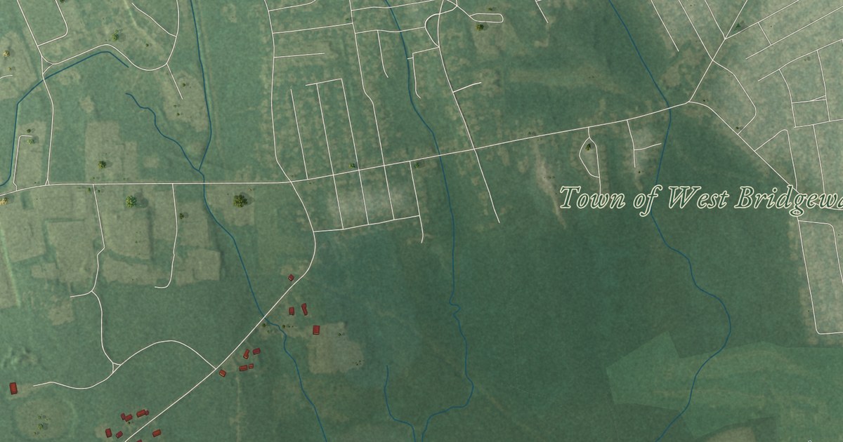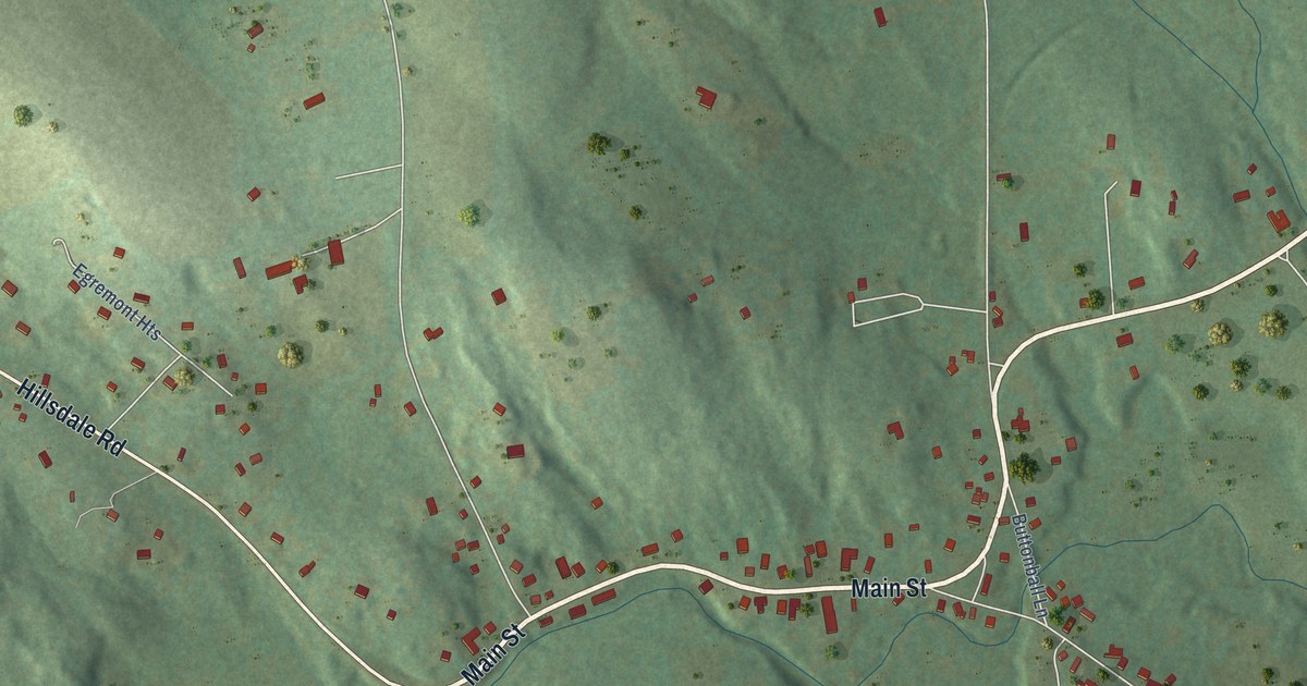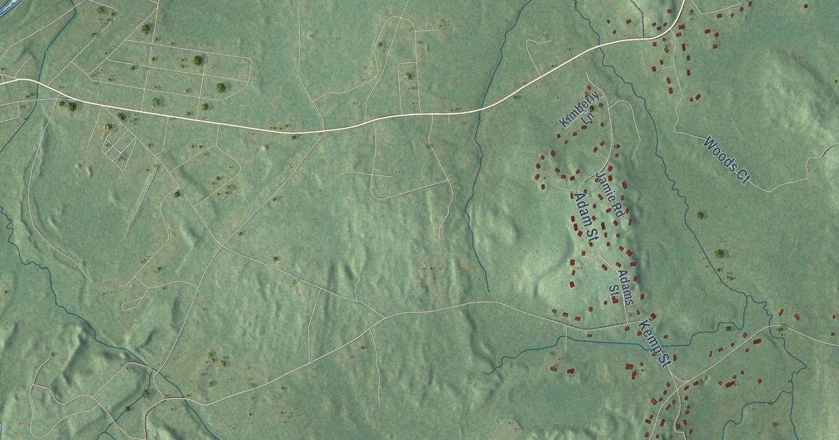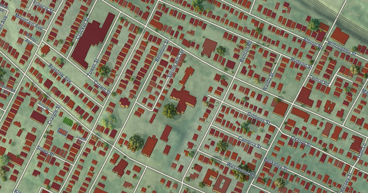
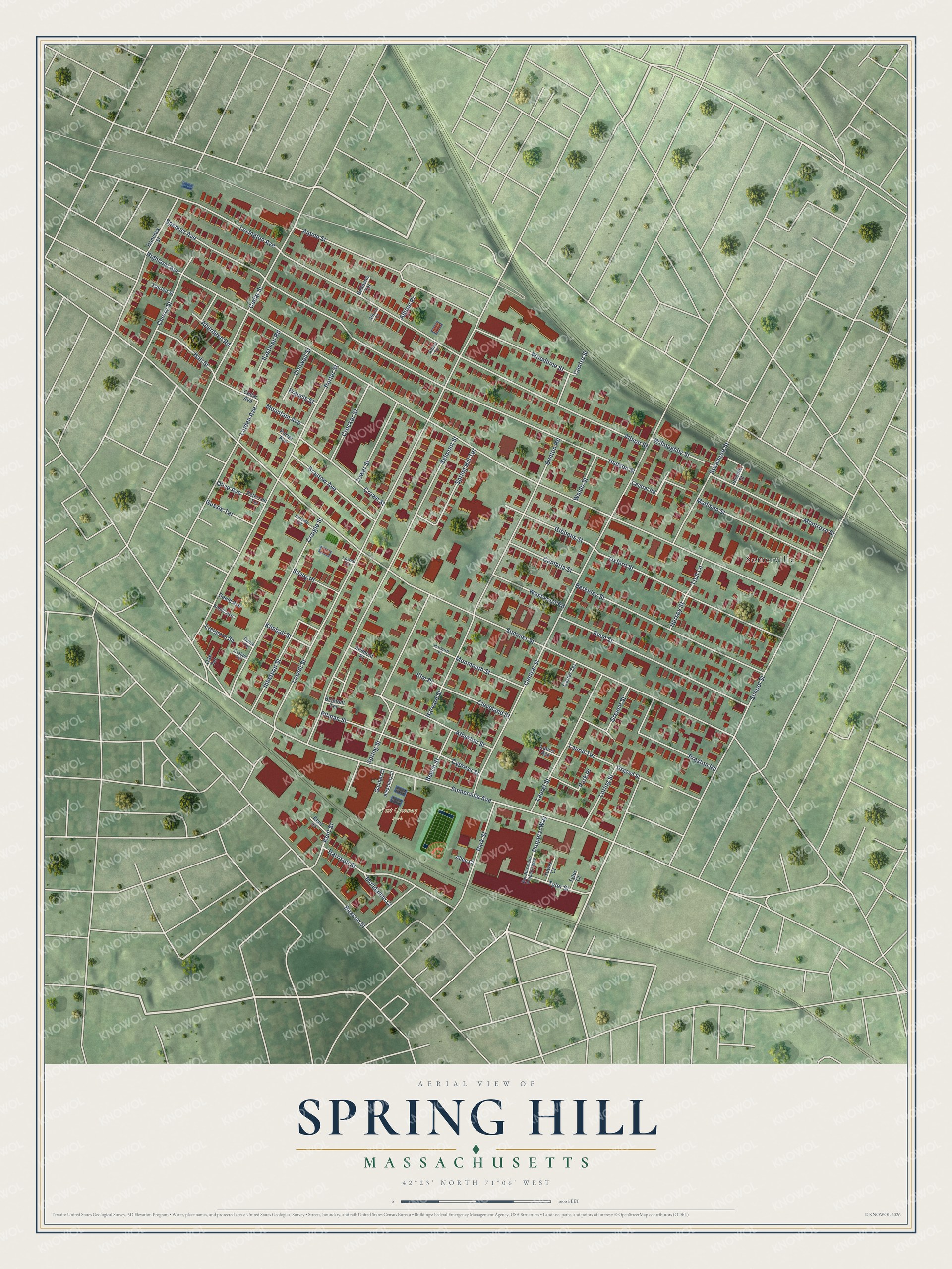
This beautifully detailed map of Spring Hill, Massachusetts was created in 2026 using aerial imagery combined with modern topographical, census, street and landmark data. It’s a one-of-a-kind view of Spring Hill that combines accurate data with a vintage aesthetic. The map shows every building in its true location, many of the roads carry their names, and the shaded topographic relief shows the shape of the land.
Explore an aerial view of Spring Hill, Massachusetts
On the map you’ll find West Conway Park and Somerville, along with Highland Avenue, Summer Street, Lowell Street, Central Street, Hudson Street, Albion Street, Somerville Avenue, Belmont Street, Porter Street, School Street, and more. If you look closely you can even find your house accurately drawn in its correct location. Zoom in on the preview to look for yours.
Did You Know?
From Internet Archive: "A portion of Prospect Hill, extending towards West Cambridge, and called Spring Hill, has been mostly laid out into lots, and made accessible by wide streets, which have been opened."
Spring Hill is a place in Middlesex County.
Take a closer look at the Spring Hill map
Names on this map
These names are printed on this map.
Places: West Conway Park and Somerville.
Streets and roads: Highland Avenue, Summer Street, Lowell Street, Central Street, Hudson Street, Albion Street, Somerville Avenue, Belmont Street, Porter Street, School Street, Oxford Street, Avon Street.
More street names, A to Z
Aberdeen Road, Albion Court, Albion Place, Albion Terrace, Allen Court, Alpine Street, Arnold Avenue, Atherton Street, Beacon Street, Beech Street, Bellevue Terrace, Belmont Place, Belmont Terrace, Benton Road, Berkeley Street, Bleachery Court, Brastow Avenue, Cambria Street, Carter Terrace, Cedar Avenue, Cedar Street, Central Road, Centre Street, Cherry Street, Cleveland Street, Conwell Street, Craigie Street, Craigie Terrace, Crocker Street, Crown Street, Cypress Street, Dante Terrace, Eastman Road, Elm Place, Evergreen Square, Fairlee Street, Francis Street, Garden Court, Gibbens Street, Gould Avenue, Greene Street, Gussie Terrace, Hall Street, Hancock Street, Harrison Street, Harvard Place, Harvard Street, Hersey Street, Hillside Circle, Ibbetson Street, Jerome Street, Kent Court, Kent Street, Kimball Street, Laurel Avenue, Laurel Street, Laurel Terrace, Lexington Avenue, Linden Avenue, Loring Street, Lowell Circle, Madison Street, Mondamin Court, Monmouth Street, Montrose Street, Mountain Avenue, Oak Terrace, Olive Avenue, Osgood Street, Park Place, Park Street, Peterson Terrace, Pitman Street, Porter Avenue, Preston Road, Properzi Way, Rev Nazareno Properzi Way, Silvey Place, Spencer Avenue, Spring Hill Terrace, Spring Street, Sycamore Street, Tower Court, Tower Street, Trull Lane, Tyler Court, Tyler Street, Waldo Street, Westwood Road, Willoughby Street, Woodbine Street.
See it on a wall
The Spring Hill map as a framed print. Swipe for more.


This beautifully detailed map of Spring Hill makes an attractive addition to your office, library, or den, and it can even be used to teach children the geography and history of the area. It also makes a great gift for anyone with Spring Hill roots. When you’re done exploring, click here to get your copy of the Spring Hill map.