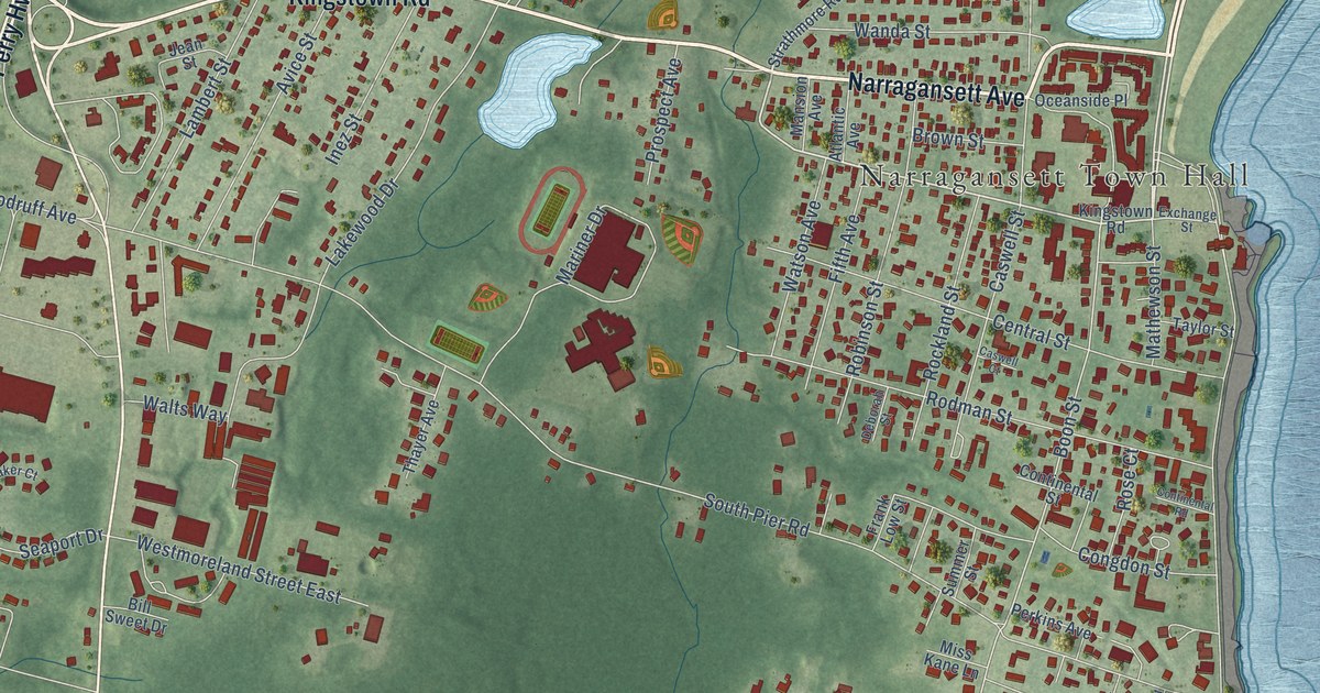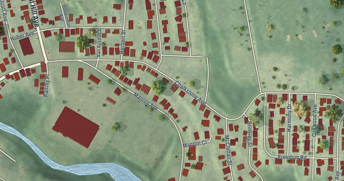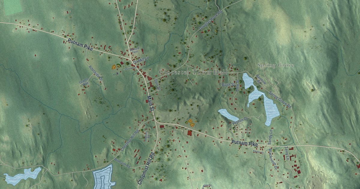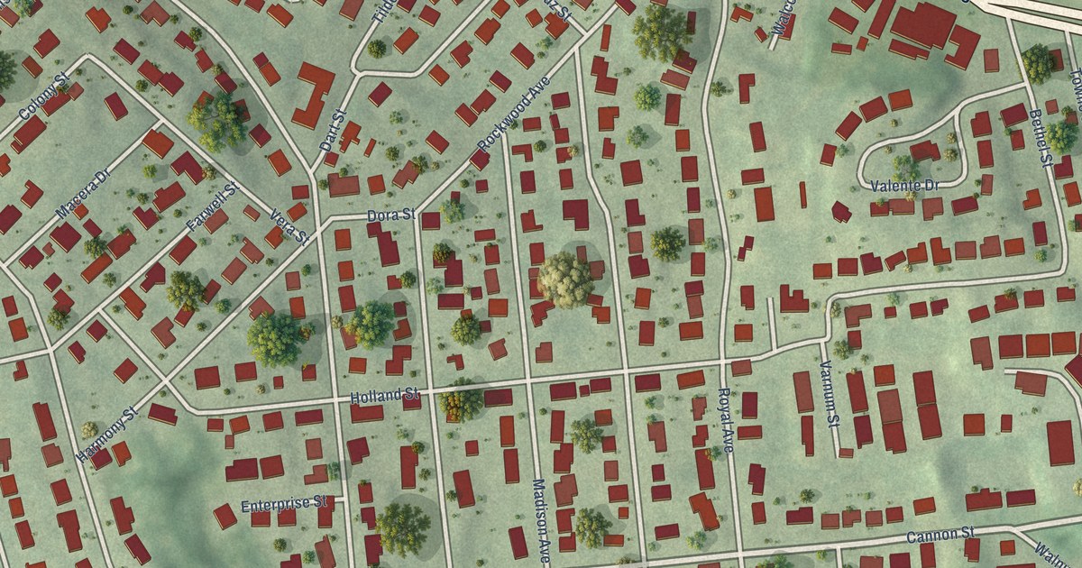
This beautifully detailed map of Thornton, Rhode Island was created in 2026 using aerial imagery combined with modern topographical, census, street and landmark data. It’s a one-of-a-kind view of Thornton that combines accurate data with a vintage aesthetic. The map shows every building in its true location, many of the roads carry their names, and the shaded topographic relief shows the shape of the land.
Explore an aerial view of Thornton, Rhode Island
On the map you’ll find Randall Park, along with Atwood Avenue, Plainfield Pike, Plainfield Street, Cannon Street, Tampa Street, Elena Street, Curry Road, Holland Street, Rockwood Avenue, Fletcher Avenue, Yeoman Avenue, and more. If you look closely you can even find your house accurately drawn in its correct location. Zoom in on the preview to look for yours.
Did You Know?
From the 1876 History of Public Education in Rhode Island: "Elisha Thornton was at the head of this school for thirty years, the existence of which was terminated about the beginning of the present century."
Thornton is a place in Providence County.
Take a closer look at the Thornton map
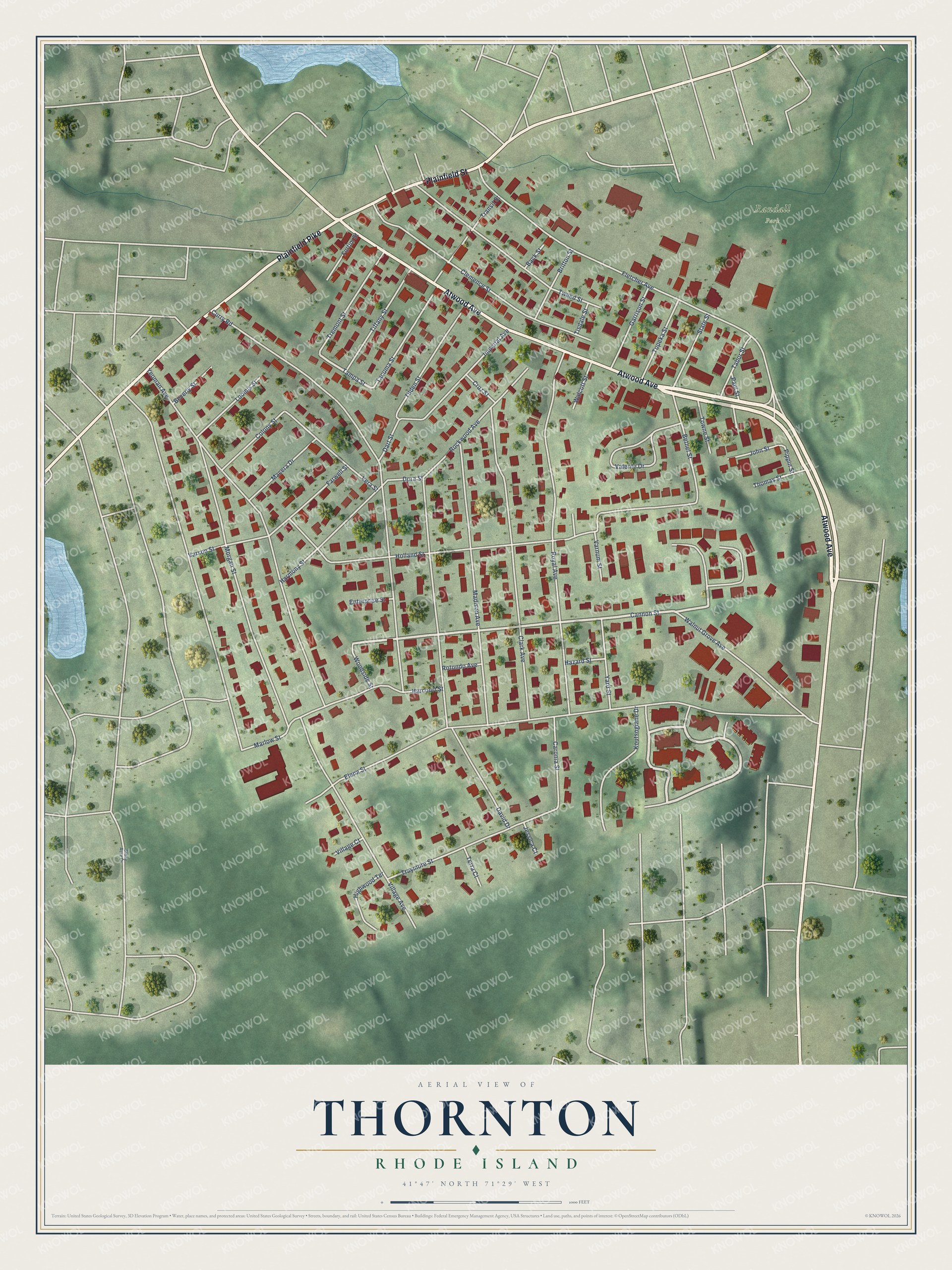
Names on this map
These names are printed on this map.
Places: Randall Park.
Streets and roads: Atwood Avenue, Plainfield Pike, Plainfield Street, Cannon Street, Tampa Street, Elena Street, Curry Road, Holland Street, Rockwood Avenue, Fletcher Avenue, Yeoman Avenue, Royal Avenue.
More street names, A to Z
Back Street, Bethel Street, Beverly Street, Britton Street, Caronia Street, Clark Avenue, Clemence Street, Colony Street, Cruz Street, Dart Street, David Drive, Dora Street, Enterprise Street, Farwell Street, Fortini Street, Garrison Street, Harcourt Street, Harmony Street, Hazard Street, Highwood Terrace, Imperial Avenue, Jessica Court, John Street, Koutsogiane Drive, Loomis Street, Macera Drive, Madison Avenue, Marlow Street, Morgan Street, Paul Street, Pippin Street, Rotondo Avenue, State Street, Stony Acre Drive, Tabor Street, Tacoma Street, Terra Court, Thomas Street, Tiffany Street, Tilden Street, Tisdale Street, Topeka Street, Towne Street, Transit Street, Traymore Street, Tremont Street, Tweed Street, Valente Drive, Varnum Street, Varson Street, Vera Street, Village Avenue, Village Court, Walcott Street, Walnut Grove Avenue, Woodside Street, Yard Street.
See it on a wall
The Thornton map as a framed print. Swipe for more.


This beautifully detailed map of Thornton makes an attractive addition to your office, library, or den, and it can even be used to teach children the geography and history of the area. It also makes a great gift for anyone with Thornton roots. When you’re done exploring, click here to get your copy of the Thornton map.