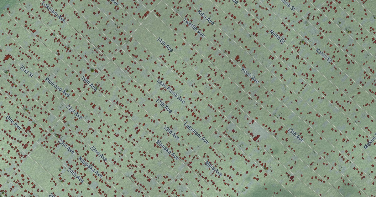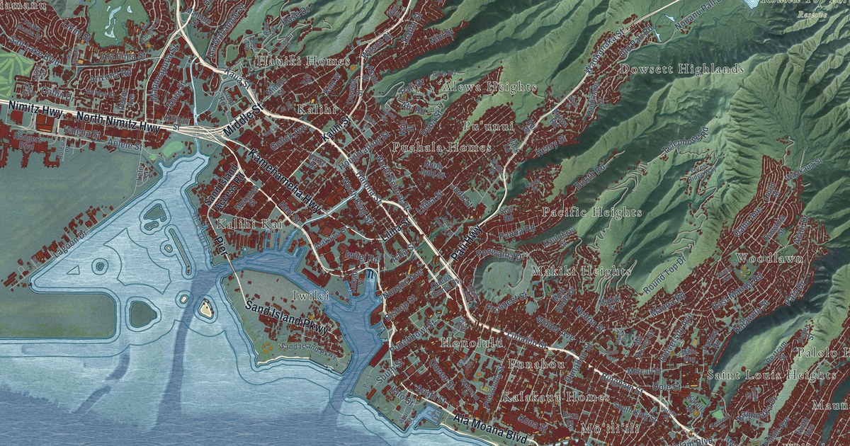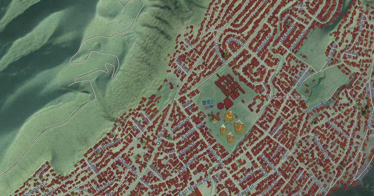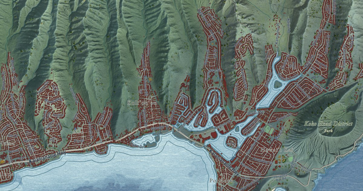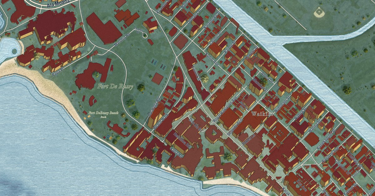
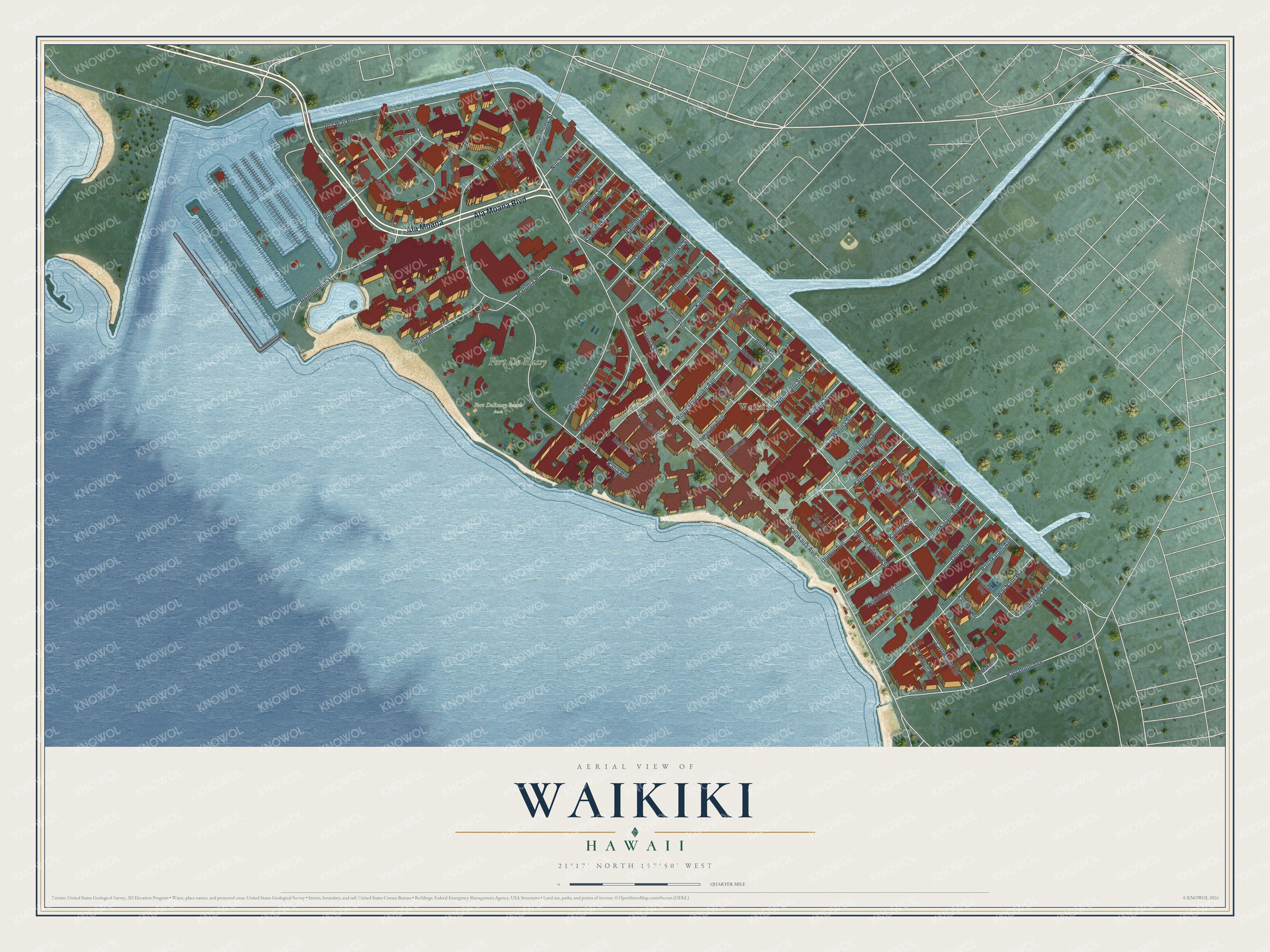
This beautifully detailed map of Waikiki, Hawaii was created in 2026 using aerial imagery combined with modern topographical, census, street and landmark data. It’s a one-of-a-kind view of Waikiki that combines accurate data with a vintage aesthetic. The map shows every building in its true location, many of the roads carry their names, and the shaded topographic relief shows the shape of the land.
Explore an aerial view of Waikiki, Hawaii
On the map you’ll find Fort De Russy, Fort DeRussy Beach Park, Waikīkī, and Ala Moana, along with Ala Moana Boulevard, Kalakaua Avenue, Kaiulani Avenue, Ala Wai Boulevard, Kuhio Avenue, Kalia Road, Holomoana Street, Lewers Street, and more. If you look closely you can even find your house accurately drawn in its correct location. Zoom in on the preview to look for yours.
Did You Know?
Waikiki is a Hawaiian name meaning spouting fresh water. Springs and streams once fed marshes between the shore and the island’s interior. Waikiki was the first capital of the Kingdom of Hawaii, from 1795 to 1796. During the 1800s, Hawaiian royals retreated here and rode early longboards.
Waikiki is a place in Honolulu County.
Take a closer look at the Waikiki map
Names on this map
These names are printed on this map.
Places: Fort De Russy, Fort DeRussy Beach Park and Waikīkī.
Streets and roads: Ala Moana Boulevard, Ala Moana, Kalakaua Avenue, Kaiulani Avenue, Ala Wai Boulevard, Kuhio Avenue, Kalia Road, Holomoana Street, Lewers Street, Hobron Lane, Kapahulu Avenue, Paoakalani Avenue.
More street names, A to Z
Ainakea Way, Aloha Drive, Beach Walk, Cartwright Road, Cleghorn Street, Don Ho Street, Dudley Street, Dudoit Lane, Dukes Lane, Ena Road, Helumoa Road, Kaiolu Street, Kaioo Drive, Kalaimoku Street, Kanekapolei Street, Kaneloa Road, Kapili Street, Kapuni Street, Kealohilani Avenue, Keoniana Street, Koa Avenue, Kuamoo Street, Launiu Street, Lauula Street, Lemon Road, Liliuokalani Avenue, Lipeepee Street, Makee Road, Maluhia Road, Manukai Street, Mc Cully Street, Mountain View Drive, Nahua Street, Namahana Street, Niu Street, Nohonani Street, Ohua Avenue, Olohana Street, Paoa Place, Pau Street, Prince Edward Street, Pualani Way, Royal Hawaiian Avenue, Saratoga Road, Seaside Avenue, Tusitala Street, Uluniu Avenue, Waikolu Way, Wai Nani Way, Walina Street.
See it on a wall
The Waikiki map as a framed print. Swipe for more.


This beautifully detailed map of Waikiki makes an attractive addition to your office, library, or den, and it can even be used to teach children the geography and history of the area. It also makes a great gift for anyone who grew up in Waikiki or moved away. When you’re done exploring, click here to get your copy of the Waikiki map.