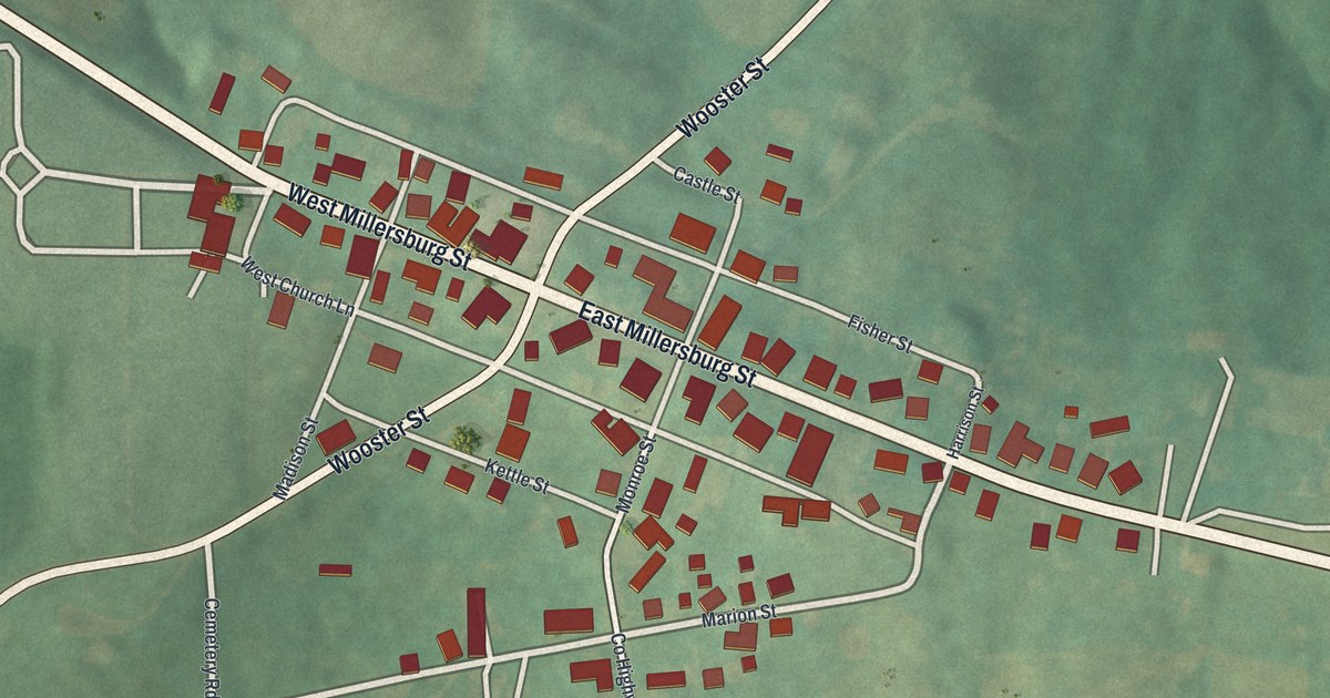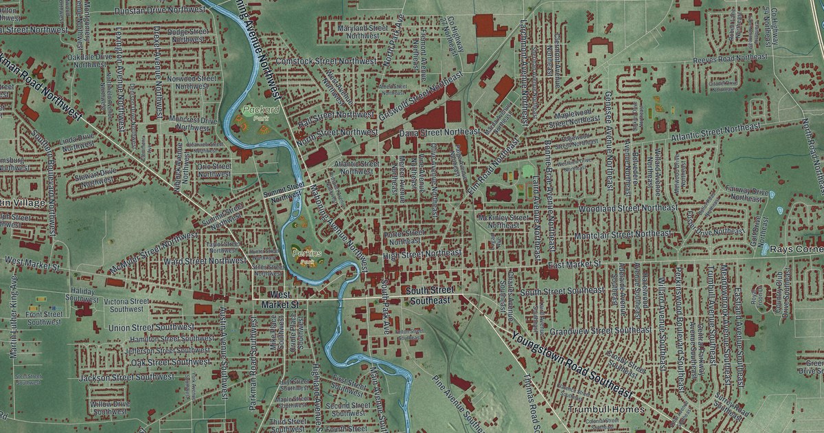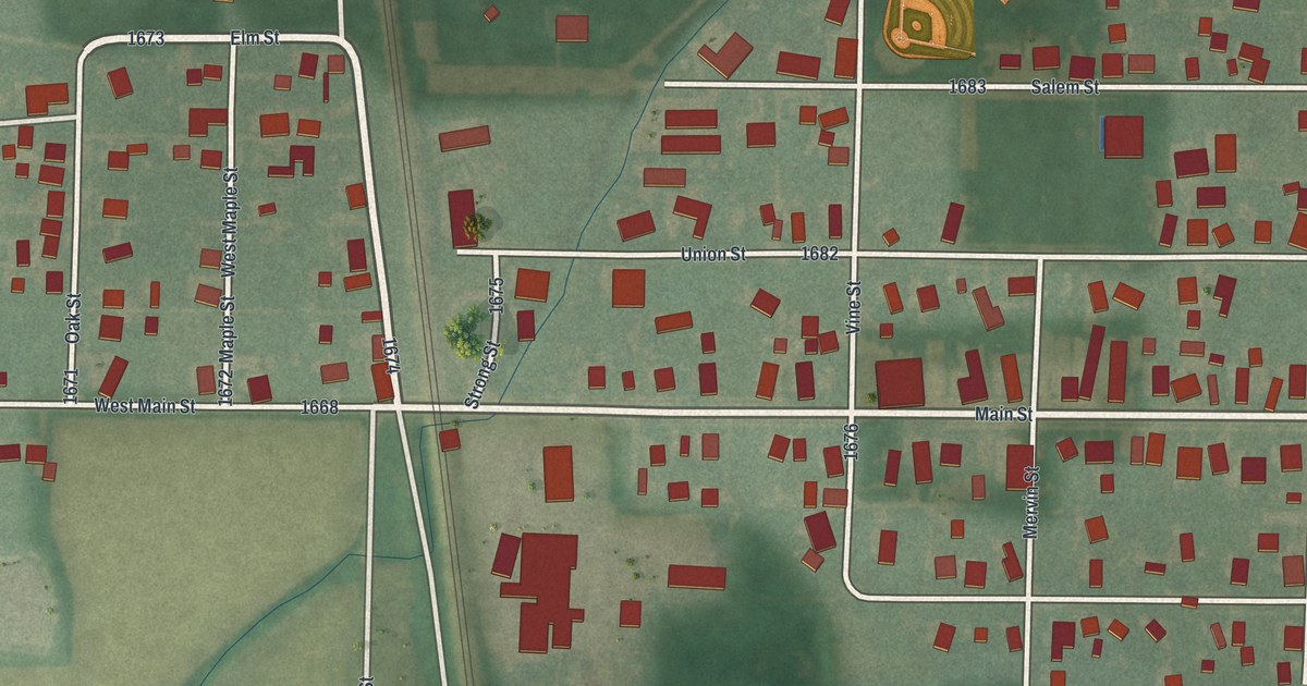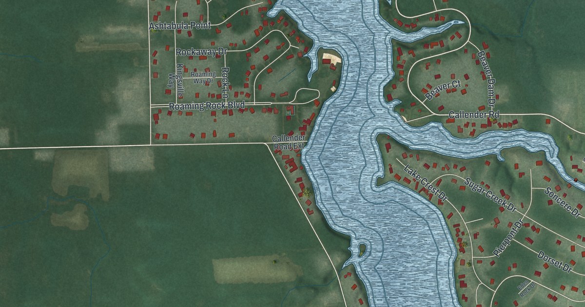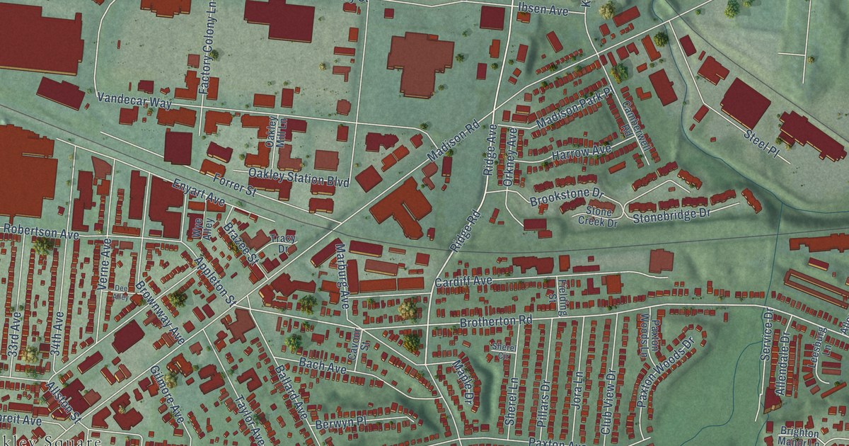
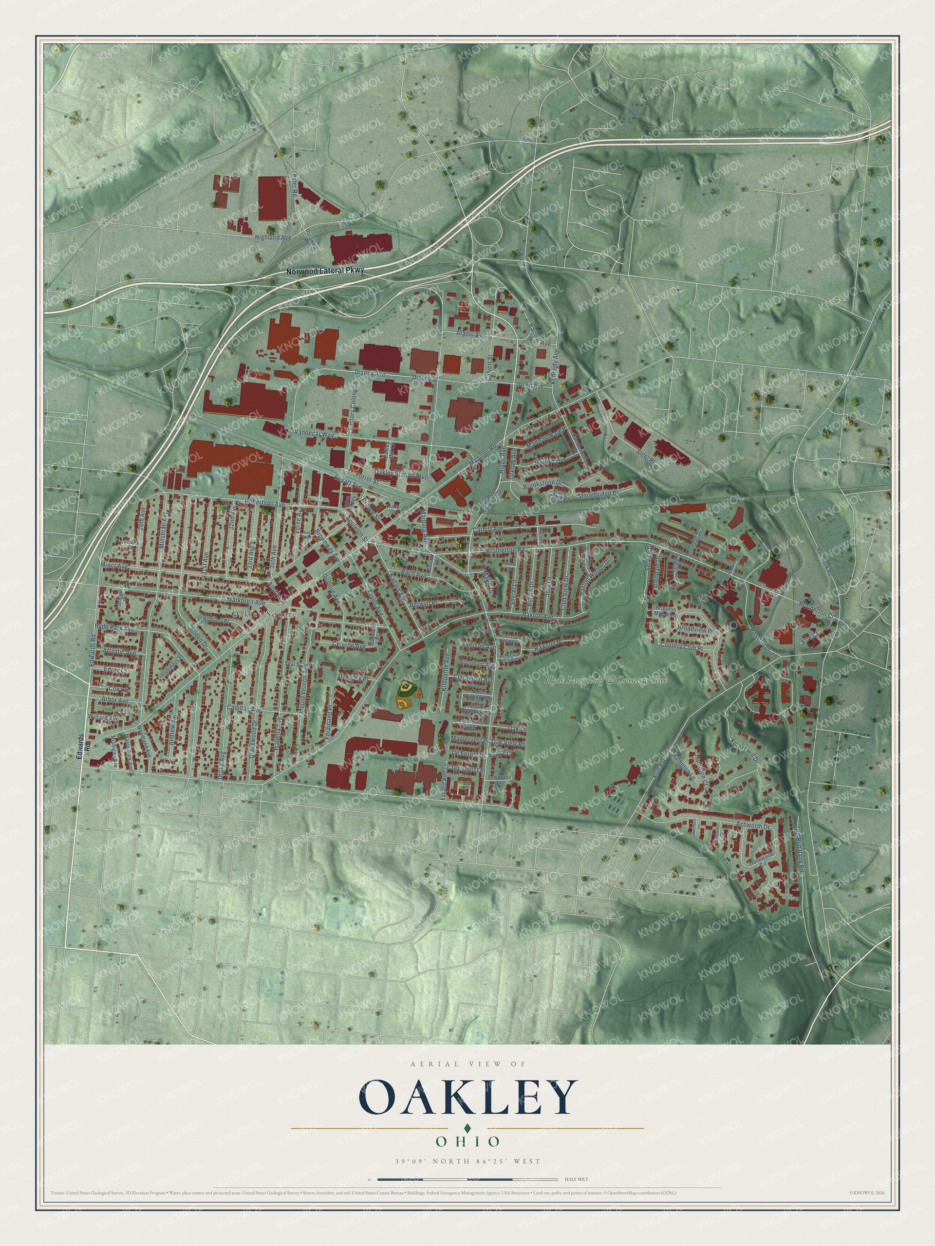
This beautifully detailed map of Oakley, Ohio was created in 2026 using aerial imagery combined with modern topographical, census, street and landmark data. It’s a one-of-a-kind view of Oakley that combines accurate data with a vintage aesthetic. The map shows every building in its true location, many of the roads carry their names, and the shaded topographic relief shows the shape of the land.
Explore an aerial view of Oakley, Ohio
On the map you’ll find Oakley Square and Hyde Park Golf & Country Club, along with Norwood Lateral Parkway, Ridge Avenue, Brotherton Court, Brotherton Road, Disney Street, Edwards Road, Robertson Avenue, Isabella Avenue, Madison Road, Marburg Avenue, and more. If you look closely you can even find your house accurately drawn in its correct location. Zoom in on the preview to look for yours.
Did You Know?
From Internet Archive: "Case School Applied Science, special and electrical course; married, Cleveland, Sept. 2, 1908, Leoy May Oakley; Sergt."
Oakley is a place in Hamilton County.
Take a closer look at the Oakley map
Names on this map
These names are printed on this map.
Places: Oakley Square and Hyde Park Golf & Country Club.
Streets and roads: Norwood Lateral Parkway, Ridge Avenue, Brotherton Court, Brotherton Road, Disney Street, Edwards Road, Robertson Avenue, Isabella Avenue, Madison Road, Marburg Avenue, Paxton Avenue, Markbreit Avenue.
More street names, A to Z
28th Avenue, 31st Avenue, 32nd Avenue, 33rd Avenue, 34th Avenue, Alamo Avenue, Alberts Court, Alicemont Avenue, Allendale Drive, Allendorf Drive, Allston Street, Ameliamont Avenue, Andrew Avenue, Appleton Street, Arbor Avenue, Ashworth Drive, Aston Court, Atlantic Avenue, Bach Avenue, Ballard Avenue, Barrow Avenue, Beecham Lane, Berwyn Place, Brazee Street, Briggs Place, Brighton Manor Lane, Broadview Drive, Brookstone Drive, Brownway Avenue, Cadillac Avenue, Calvert Street, Camberwell Road, Cardiff Avenue, Cavour Street, Celeron Avenue, Claramont Avenue, Club View Drive, Country Club Place, Cox Lane, Dee Alley, De Forest Drive, Disney Avenue, Drake Avenue, Drakewood Drive, Duramed Road, Eastern Hills Lane, Edroy Court, Eileen Drive, Enyart Avenue, Erie Avenue, Erie Court, Everson Avenue, Factory Colony Lane, Ferdinand Place, Fielding Street, Forest Hill Drive, Forrer Street, Gilmore Avenue, Glenhurst Place, Hampton Court, Hampton Lane, Harrow Avenue, Highland Avenue, Hyde Park Avenue, Ibsen Avenue, Inverness Place, Jora Lane, Kennedy Avenue, Kilbourne Avenue, Leesburg Lane, Lester Road, Madison Park Place, Maplecrest Place, Maple Drive, Maple Park Avenue, Michigan Avenue, Millsbrae Avenue, Minot Avenue, Mount Vernon Avenue, North Club Crest Avenue, North Sterling Way, Oak Lane, Oakley Mill Lane, Oakley Station Boulevard, Oakpark Place, Oak View Place, Old Red Bank Road, Orkney Avenue, Paxton Woods Drive, Paxton Woods Lane, Pillars Drive, Rawson Place, Red Bank Road, Ridge Road, Romaine Drive, Romana Place, Rosslyn Drive, Sagola Place, Sawgrass Lane, Seal Street, Service Drive, Sherel Circle, Sherel Lane, South Club Crest Avenue, South Sterling Way, Steel Place, Stonebridge Drive, Stone Creek Drive, Taylor Avenue, Tracy Drive, Traskwood Circle, Vandecar Way, Verne Avenue, Willard Avenue, Willowlea Court, Woodland Avenue, Wye Alley.
See it on a wall
The Oakley map as a framed print. Swipe for more.


This beautifully detailed map of Oakley makes an attractive addition to your office, library, or den, and it can even be used to teach children the geography and history of the area. It also makes a great gift for anyone with Oakley roots. When you’re done exploring, click here to get your copy of the Oakley map.