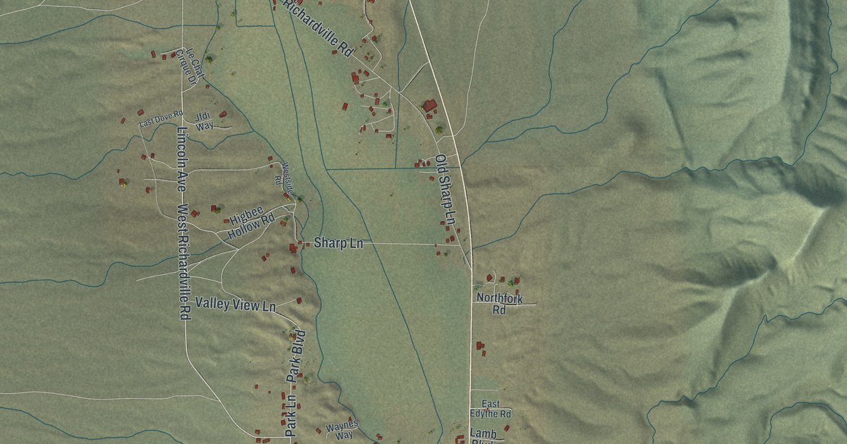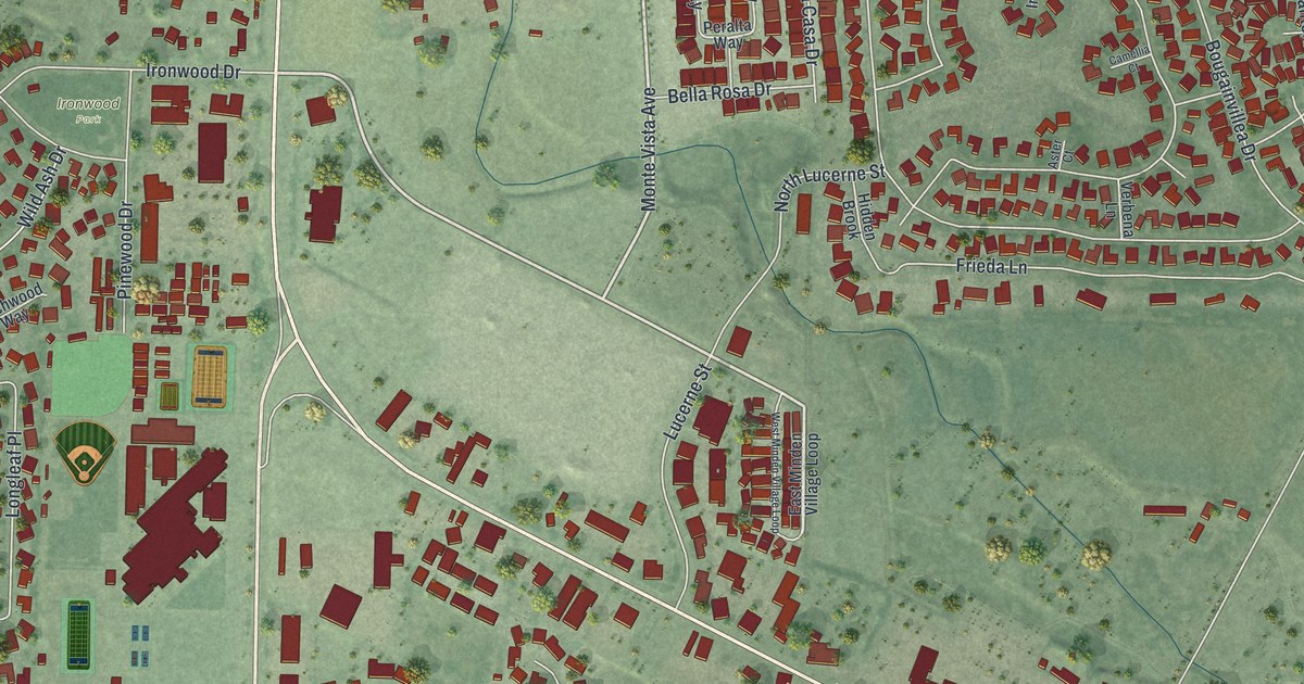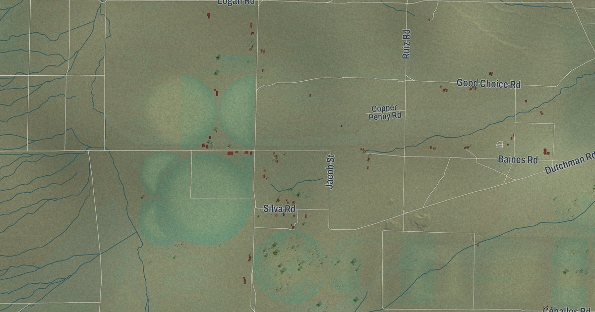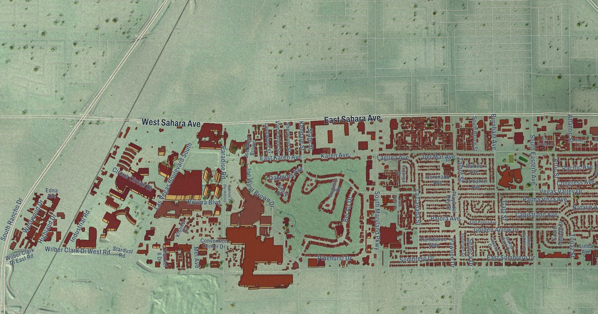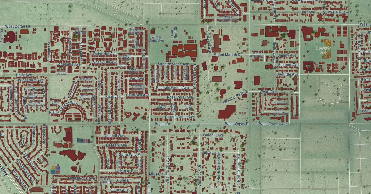
This beautifully detailed map of West Las Vegas, Nevada was created in 2026 using aerial imagery combined with modern topographical, census, street and landmark data. It’s a one-of-a-kind view of West Las Vegas that combines accurate data with a vintage aesthetic. The map shows every building in its true location, many of the roads carry their names, and the shaded topographic relief shows the shape of the land.
Explore an aerial view of West Las Vegas, Nevada
On the map you’ll find Vegas Heights, Eastland Heights, Bonanza Village, and Doolittle Park, along with West Bonanza Road, Tonopah Highway, North Rancho Drive, Doolittle Avenue, Robin Street, North Robin Street, La Harve Drive, West Wyatt Avenue, and more. If you look closely you can even find your house accurately drawn in its correct location. Zoom in on the preview to look for yours.
Take a closer look at the West Las Vegas map
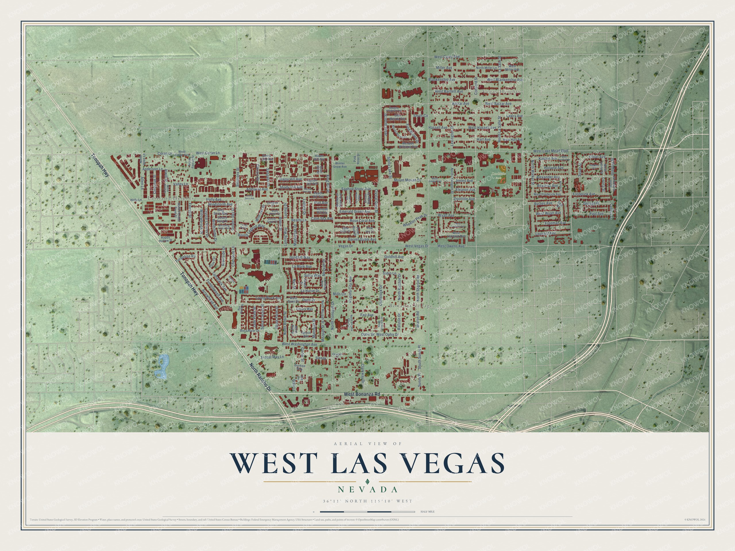
Names on this map
These names are printed on this map.
Places: Vegas Heights, Eastland Heights, Bonanza Village and Doolittle Park.
Streets and roads: West Bonanza Road, Tonopah Highway, North Rancho Drive, Doolittle Avenue, Robin Street, North Robin Street, La Harve Drive, West Wyatt Avenue, Holly Avenue, Anderson Lane, West Blankenship Avenue, Wheeler Peak Drive.
More street names, A to Z
Adelante Avenue, Alexander Avenue, Allen Lane, Alwill Street, Arrowhead Avenue, Balzar Avenue, Beatty Lane, Blankenship Avenue, Boca River Drive, Bowman Avenue, Byrnes Avenue, Cadillac Lane, Calm Sea Avenue, Canary Way, Carrara Drive, Carter Street, Cherokee Lane, Cindysue Street, Clarkway Drive, Coffee Pot Court, Comstock Drive, Concord Street, Coran Lane, Crystal Chimes Drive, Crystal Gem Street, Daisy Hill Avenue, Desert Song Drive, Dike Lane, Duck Arrow Circle, Dune Drive, Dunkee Way, Dwayne Stedman Avenue, East Street, Ekanger Circle, Eleanor Avenue, Ellingson Drive, Elliott Avenue, Emerald Green Avenue, Ernest May Lane, Fair Avenue, Ferrell Street, Fred Brown Drive, Frederick Avenue, Freeman Avenue, Garnet Gable Avenue, George Place, Golden Sky Drive, Goldhill Avenue, Goldhill Way, Grass Palm Street, Gregory Street, Happy Hollow Street, Hart Avenue, Hassell Avenue, Haven Hill Avenue, Hewitt Street, Holland Avenue, Holly Lane, Holmes Street, Jade Hills Court, Jade Plant Street, Jesse Scott Street, Jimmy Avenue, Kasper Avenue, Kendall Hill Avenue, King Hill Street, La Mark Avenue, La Salle Street, Lawry Avenue, Leonard Avenue, Leona Street, Lexington Street, Living Rock Avenue, Ludwig Drive, Luning Drive, Luning Way, Maenpah Street, Manhattan Drive, Marion Bennet Drive, Mezpah Drive, Mezpah Street, Miller Avenue, Mills Circle, Mother of Pearl Avenue, Mount Mariah Drive, North Allen Lane, North Alwill Street, North Comstock Drive, North Ferrell Street, North Gregory Street, North La Salle Street, North Leona Street, North Lexington Street, North Mezpah Drive, North Mezpah Street, North Miller Lane, North Nye Street, North Peridot Point Street, North Ralston Drive, North Sharon Road, North Tonopah Drive, North Virginia City Avenue, North Walker Street, Nye Street, Ophir Drive, Otto Merida Avenue, Palm Terrace, Paul Avenue, Peach Hill Avenue, Pearl Hatpin Court, Perkins Circle, Peter Buol Drive, Pink Ice Court, Pink Rose Street, Port Avenue, Quail Hill Street, Ralston Drive, Ramona Circle, Riff Lane, Rising Legend Way, Riverside Drive, Rose Coral Avenue, Rye Patch Street, Sangallo Street, Saphire Stone Avenue, Saxton Hill Avenue, Shady Hill Avenue, Sharon Road, Sierra Luna Avenue, Sierra Seco Avenue, Simmons Street, Sing Song Way, Sleepy, Smith Circle, Soldier Creek Court, South Sunny Place, Spice Cactus Street, Spruce Avenue, Star Sapphire Court, Stella Lake Street, Sunny Place, Susan Street, Sutro Lane, Sutro Way, Tamerack Avenue, Tumbleweed Avenue, Turquoise Road, Valley Lane, Vegas Drive, Virginia City Avenue, Walnut Hill Avenue, Wendell Williams Avenue, West Balzar Avenue, West Bartlett Avenue, West Carey Avenue, West Coran Avenue, West Coran Lane, West Dune Drive, West Frederick Avenue, West Freeman Avenue, West Hart Avenue, West Hassell Avenue, West Jimmy Avenue, West Kasper Avenue, West Lake Mead Boulevard, West Leonard Avenue, West Miller Avenue, West Ophir Drive, West Owens Avenue, West Vegas Drive, West Washington Avenue, Whistling Vines Avenue, Wild Jan Drive, Willowbrook Drive, Windchime Drive, Windstorm Avenue, Winter Snow Avenue, Wyatt Avenue, Zircon Ridge Court.
See it on a wall
The West Las Vegas map as a framed print. Swipe for more.


This beautifully detailed map of West Las Vegas makes an attractive addition to your office, library, or den, and it can even be used to teach children the geography and history of the area. It also makes a great gift for anyone with West Las Vegas roots. When you’re done exploring, click here to get your copy of the West Las Vegas map.