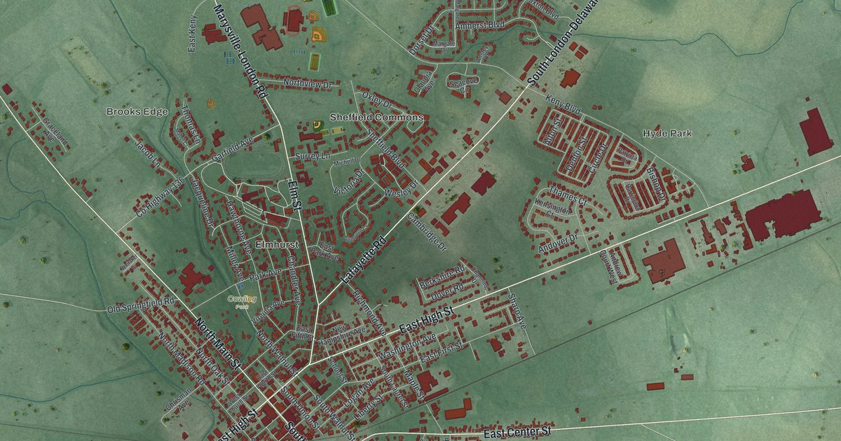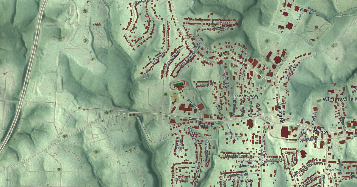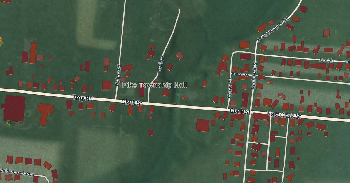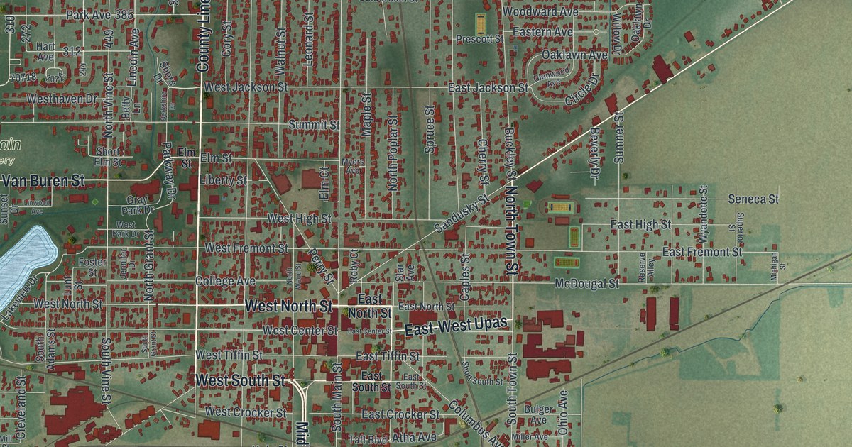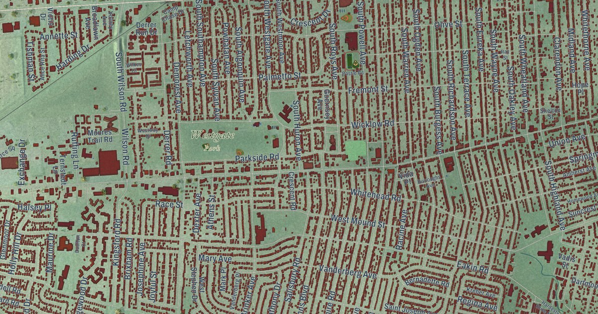
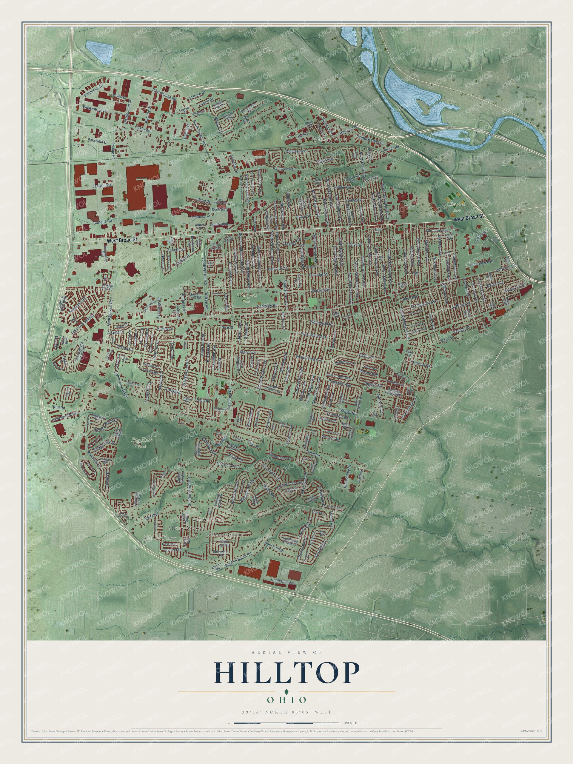
This beautifully detailed map of Hilltop, Ohio was created in 2026 using aerial imagery combined with modern topographical, census, street and landmark data. It’s a one-of-a-kind view of Hilltop that combines accurate data with a vintage aesthetic. The map shows every building in its true location, many of the roads carry their names, and the shaded topographic relief shows the shape of the land.
Explore an aerial view of Hilltop, Ohio
On the map you’ll find Alkire Place, Valley View, Big Run Park, Rhodes Park, Westgate Park, Alkire Lakes, Alkire Woods, Alkire Run, and Maribeth Place, along with West Broad Street, Townsend Avenue, Vanderberg Avenue, and more. If you look closely you can even find your house accurately drawn in its correct location. Zoom in on the preview to look for yours.
Did You Know?
From Internet Archive: "Warren Ave, Hilltop 1140} first 35,000 Americans to reach | France, and have been engaged | ~ |in construction work over there | for nearly a year."
Hilltop is a place in Franklin County.
Take a closer look at the Hilltop map
Names on this map
These names are printed on this map.
Places: Alkire Place, Valley View, Big Run Park, Rhodes Park, Westgate Park, Alkire Lakes, Alkire Woods, Alkire Run and Belvedere Park.
Streets and roads: West Broad Street, Maribeth Place, Townsend Avenue, Vanderberg Avenue, Keiser Street, Tonda Lane, West Mound Street, Phillipi Road, Tishman Street, Sullivant Avenue, Demorest Road, Eakin Road.
More street names, A to Z
Adell Road, Alberta Street, Alice Rita Street, Alkire Glen Way, Alkire Road, Allmon Road, Amherst Avenue, Annette Street, Anthony Drive, Apple Ridge Lane, Apple Street, Ardath Road, Arnelle Road, Athens Street, Atlanta Drive, Avonia Drive, Baroma Drive, Bay Club Circle, Bay Port Drive, Bay Run Drive, Bellflower Avenue, Belvidere Avenue, Bernadette Road, Big Run South Road, Binns Boulevard, Bluhm Road, Bonnie Ridge Road, Brent Boulevard, Brichar Way, Briggs Road, Briggston Avenue, Brixham Road, Broadlawn Avenue, Bronwyn Avenue, Brookbank Drive, Burroughs Avenue, Butler Avenue, Camp Chase Drive, Carol Avenue, Carrigallen Lane, Centerpoint Drive, Chadsterz Drive, Chestershire Road, Clarendon Avenue, Clark Avenue, Clime Road, Clime Road North, Columbian Avenue, Commerce Square, Cottrell Drive, Countrybrook Drive East, Covina Drive, Creekside Drive, Crescent Drive, Crescent Road, Crevis Lane, Daisy Lane, Darracq Circle, Dartmoor Road, Deer Path Drive, Delgany Street, Demorest Avenue, Derrer Road, Derrer Run Drive, Dexter Avenue, Dibblee Avenue, Distribution Drive, Dixie Court, Doren Avenue, Doulton Court, Eagle View Drive, Edson Drive, Edwin Street, Eldon Avenue, Elliott Avenue, El Paso Drive, Eureka Boulevard, Exchange Drive, Fairmont Avenue, Fall Brook Road, Farmhurst Lane, Ferrell Place, Fisher Road, Floral Avenue, Fondorf Drive, Forestwind Drive, Fredericksburg Avenue, Fremont Street, French Drive, Galli Court, Genteel Drive, Georgesville Road, Georgian Drive, Gilman Road, Glenmoor Drive, Glenview Boulevard, Golden Cloud Lane, Grace Street, Great Western Boulevard, Greenock Road, Greenville Road, Gresham Road, Guernsey Avenue, Hadley Drive, Hafton Road, Hafton Woods Drive, Haldy Avenue, Hall Road, Halsey Place, Hambrick Street, Hardesty Court, Hardesty Drive North, Hardesty Drive South, Harding Drive, Harper Road, Harrison Drive, Harrison Road, Harwood Drive, Heinzerling Drive, Helen Street, Hickory Wood Drive, Hillgrove Avenue, Hilltonia Avenue, Hollow Run Drive, Holly Hill Drive, Homewood Avenue, Hope Place, Hyatt Drive, Industrial Mile Road, Industry Drive, Interchange Road, Janitrol Road, Josephine Avenue, Joyful Street, Kaderly Drive, Kevin Court, Kingsford Road, Knoll Run Road, Kreber Avenue, Kriswood Lane, Lance Court, Larcomb Avenue, Lechner Avenue, Letchworth Avenue, Lincoln Park Court, Lindendale Drive, Logwood Lane, Longfield Road, Longhurst Drive West, Lowell Drive, Lynward Road, Maclam Drive, Manley Way, Maple Shade Court, Mark Place, Martha Avenue, Mary Avenue, Maurine Drive, Midland Avenue, Moores Trail Road, Murray Avenue, Nashoba Avenue, Nationwide Boulevard, Nicholas Avenue, Nixon Drive, North Algonquin Avenue, North Boulevard, North Brinker Avenue, North Chase Avenue, North Eureka Avenue, North Hague Avenue, North Harris Avenue, North Huron Avenue, North Oakley Avenue, North Ogden Avenue, North Powell Avenue, North Richardson Avenue, North Southampton Avenue, North Sylvan Avenue, North Warren Avenue, North Wayne Avenue, North Westgate Avenue, North Westmoor Avenue, North Wheatland Avenue, North Wilson Road, Olive Street, Olson Place, Onslow Drive, Orel Avenue, Palmetto Street, Parkside Road, Parkwest Drive, Parkwick Drive, Parma Avenue, Perimeter Drive, Pheasant Run East, Pineridge Avenue, Pinnacle Drive, Ponderosa Drive, Postle Road, Powhatan Avenue, Prominence Drive, Prospect Street, Quickwater Road, Race Street, Racine Avenue, Raleigh Drive, Randell Road, Ray Street, Rea Avenue, Regina Avenue, Reilly Run, Ridge Avenue, Riegelwood Lane, Ripplebrook Road, Riverbend Road, Rivercliff Road, Rivermont Road, Rocky Creek Lane, Rocky Road, Rosedale Avenue, Rosette Drive, Royal Hill Drive, Ruffing Lane, Ruth Court, Ryan Avenue, Safford Avenue, Saint Cecelia Drive, Saint Joseph Avenue, Salisbury Road, Sandy Lake Drive, Savannah Drive, Schilling Lane, Scioto Harper Drive, Scott Drive, Scriven Avenue, Sexton Drive, Shelton Street, Soldano Boulevard, Sondra Lane, South Algonquin Avenue, South Boulevard, South Brinker Avenue, South Burgess Avenue, South Eureka Avenue, Southfield Village Drive, South Hague Avenue, South Harris Avenue, South Highland Avenue, South Huron Avenue, South Oakley Avenue, South Ogden Avenue, South Powell Avenue, South Richardson Avenue, South Roys Avenue, South Southampton Avenue, South Stephen Drive, South Sylvan Avenue, South Terrace Avenue, South Warren Avenue, South Wayne Avenue, Southwestern Road, South Westgate Avenue, South Westmoor Avenue, South Wheatland Avenue, South Wilson Road, Spaatz Avenue, Springmont Avenue, Steele Avenue, Suncrest Drive, Sunflower Drive, Surface Road, Talbot Place, Tall Meadows Drive, Tedco Drive, Telham Court, Telham Drive, Tenbrook Place, Ternstedt Lane, Thomas Avenue, Timber Oak Drive, Torrey Hill Drive, Trevor Court, Union Avenue, Vadis Street, Valley Creek Drive, Valleyview Drive, Valleywood Drive, Vanderberg Place, Vaughn Street, Vida Place, Vida Way, Village Park Drive, Viotis Drive, Volney Avenue, Walsh Avenue, Wedgewood Drive, Westport Road, Westshire Road, West Stephen Drive, West Town Street, Westview Center Plaza, Westward Avenue, Westway Drive, Westwood Drive, Whitehead Road, White Leaf Way, Whitethorne Avenue, Wicklow Road, Wilkes Court, Wilson Road, Wiltshire Road, Winding Creek Drive, Winding Hollow Drive, Woodbrook Circle West, Woodbrook Lane, Woodbury Avenue, Woodcroft Road, Wrexham Avenue, Yew Drive, Yvette Court.
See it on a wall
The Hilltop, Columbus map as a framed print. Swipe for more.


This beautifully detailed map of Hilltop, Columbus makes an attractive addition to your office, library, or den, and it can even be used to teach children the geography and history of the area. It also makes a great gift for anyone with Hilltop roots. When you’re done exploring, click here to get your copy of the Hilltop, Columbus map.