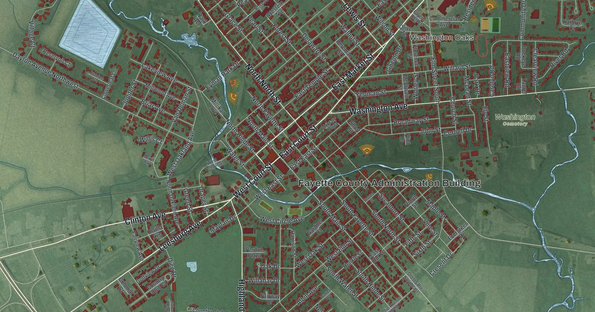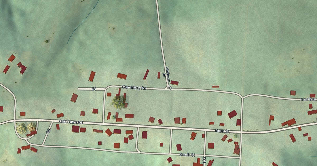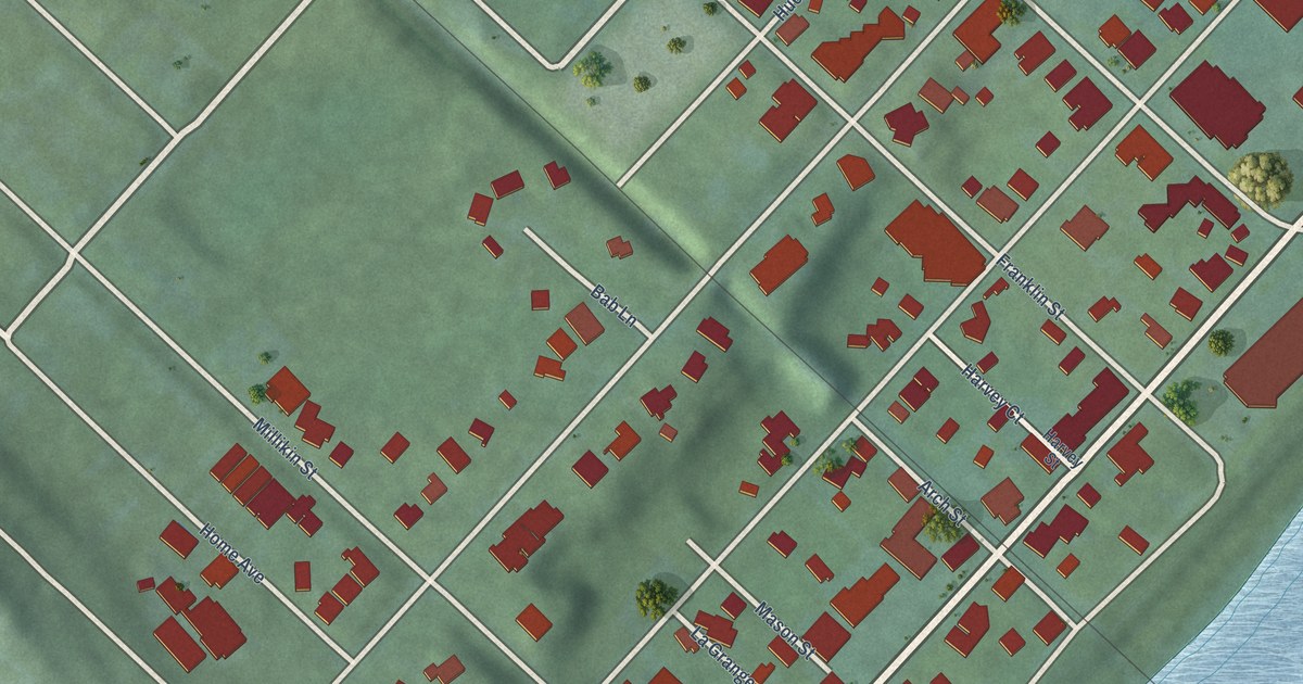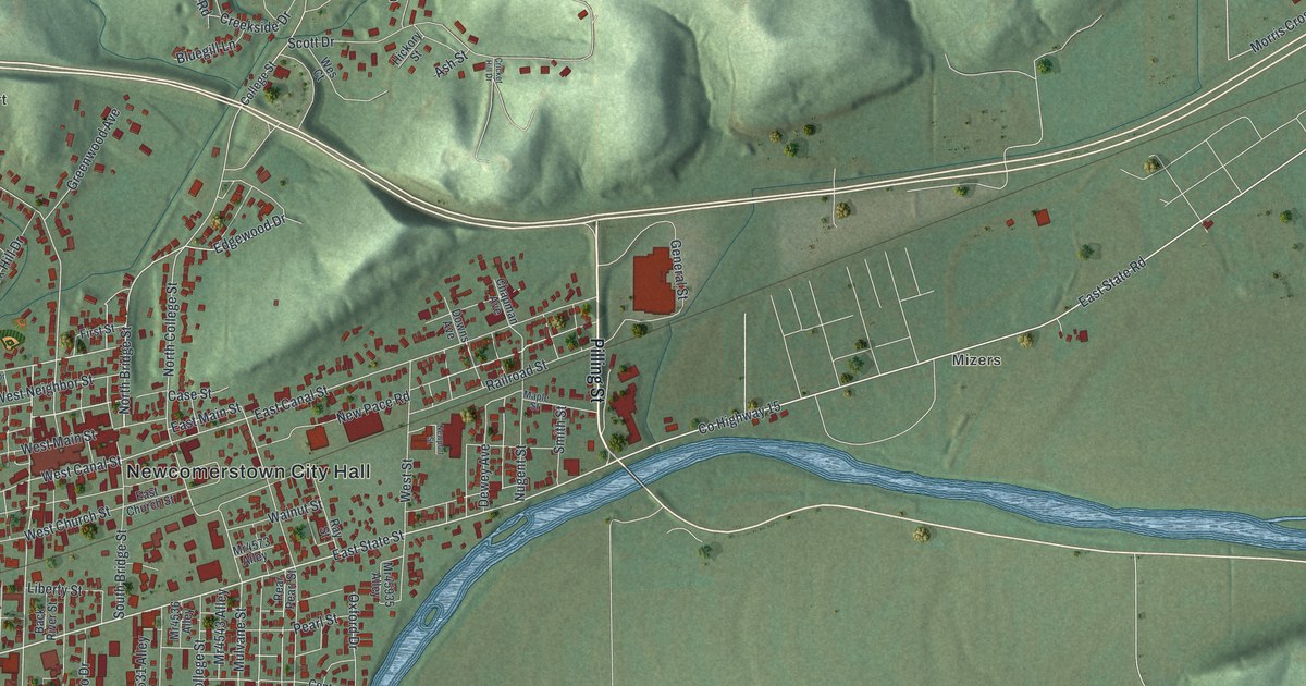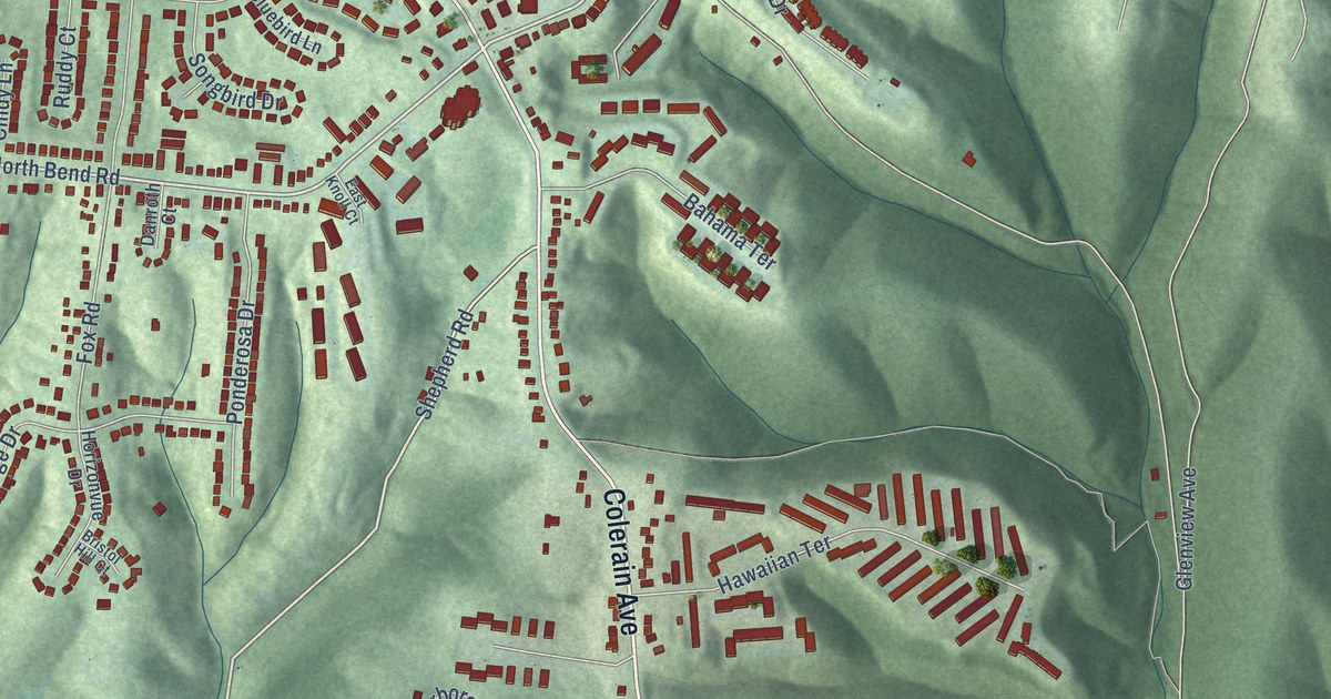
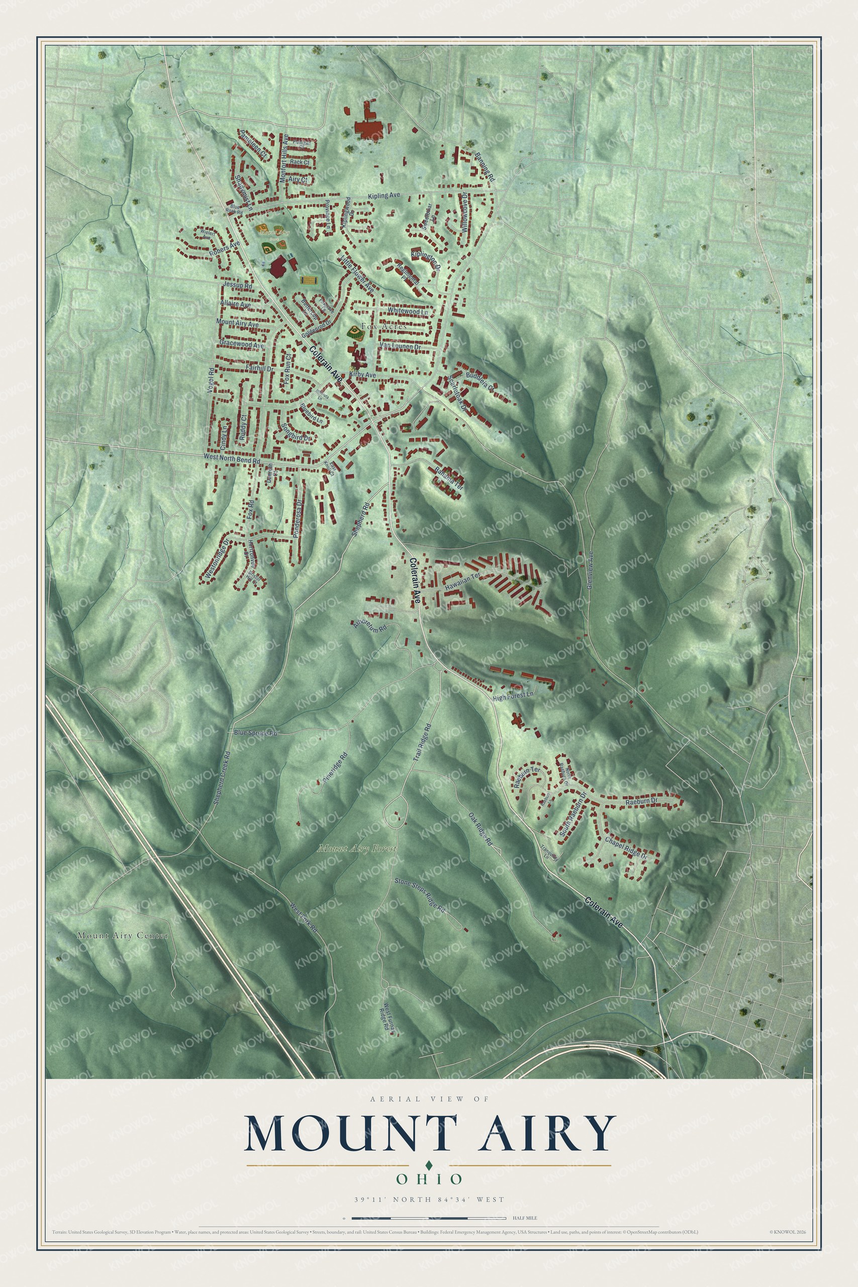
This beautifully detailed map of Mount Airy, Ohio was created in 2026 using aerial imagery combined with modern topographical, census, street and landmark data. It’s a one-of-a-kind view of Mount Airy that combines accurate data with a vintage aesthetic. The map shows every building in its true location, many of the roads carry their names, and the shaded topographic relief shows the shape of the land.
Explore an aerial view of Mount Airy, Ohio
On the map you’ll find Mount Airy Park, Mount Airy Forest, Mount Airy Center, and Fox Acres, along with Colerain Avenue, Trail Ridge Road, West North Bend Road, Oak Ridge Road, Shepherd Road, Kirby Avenue, West Fork Road, Kipling Avenue, and more. If you look closely you can even find your house accurately drawn in its correct location. Zoom in on the preview to look for yours.
Did You Know?
From Internet Archive: "The only other incorporated village in the township is Mount Airy, part of which only lies within Green, the remainder in what was Mill Creek township."
Mount Airy is a place in Hamilton County.
Take a closer look at the Mount Airy map
Names on this map
These names are printed on this map.
Places: Mount Airy Park, Mount Airy Forest, Mount Airy Center and Fox Acres.
Streets and roads: Colerain Avenue, Trail Ridge Road, West North Bend Road, Oak Ridge Road, Shepherd Road, Kirby Avenue, West Fork Road, Kipling Avenue, Fox Road, Blue Spruce Road, Shepherd Creek Road, Raeburn Drive.
More street names, A to Z
Airy Court, Allaire Avenue, Arboretum Road, Bahama Terrace, Banning Road, Bluebird Lane, Blue Rock Road, Bristol Hill Court, Buddleia Court, Buttercup Lane, Chapel Ridge Drive, Cindy Lane, Danroth Court, East Knoll Court, Fairhill Drive, Flanigan Court, Foxglove Lane, Fox Run Court, Glenview Avenue, Goldenrod Drive, Gracewood Avenue, Hawaiian Terrace, High Forest Lane, Hillvista Lane, Horizonvue Drive, Jessup Road, Kiplington Drive, Kiplingwood Drive, Little Flower Avenue, Monfort Hills Avenue, Mount Airy Avenue, North Raeburn Drive, Pameleen Court, Pineridge Road, Ponderosa Drive, Province Lane, Rack Court, Raeburn Lane, Raeburn Terrace, Regimental Place, Robers Avenue, Ruddy Court, Scarletoak Drive, Shadymist Lane, Songbird Drive, South Raeburn Drive, Stone Steps Ridge Road, Sweetbriar Lane, Tranquility Lane, Van Leunen Drive, Vogel Road, West Furnas Ridge Road, Westonridge Drive, Whitewood Lane, Wielert Avenue, Willowcove Drive.
See it on a wall
The Mount Airy map as a framed print. Swipe for more.


This beautifully detailed map of Mount Airy makes an attractive addition to your office, library, or den, and it can even be used to teach children the geography and history of the area. It also makes a great gift for anyone with Mount Airy roots. When you’re done exploring, click here to get your copy of the Mount Airy map.