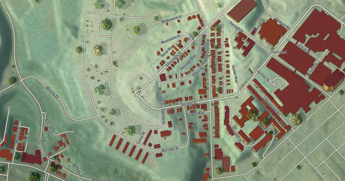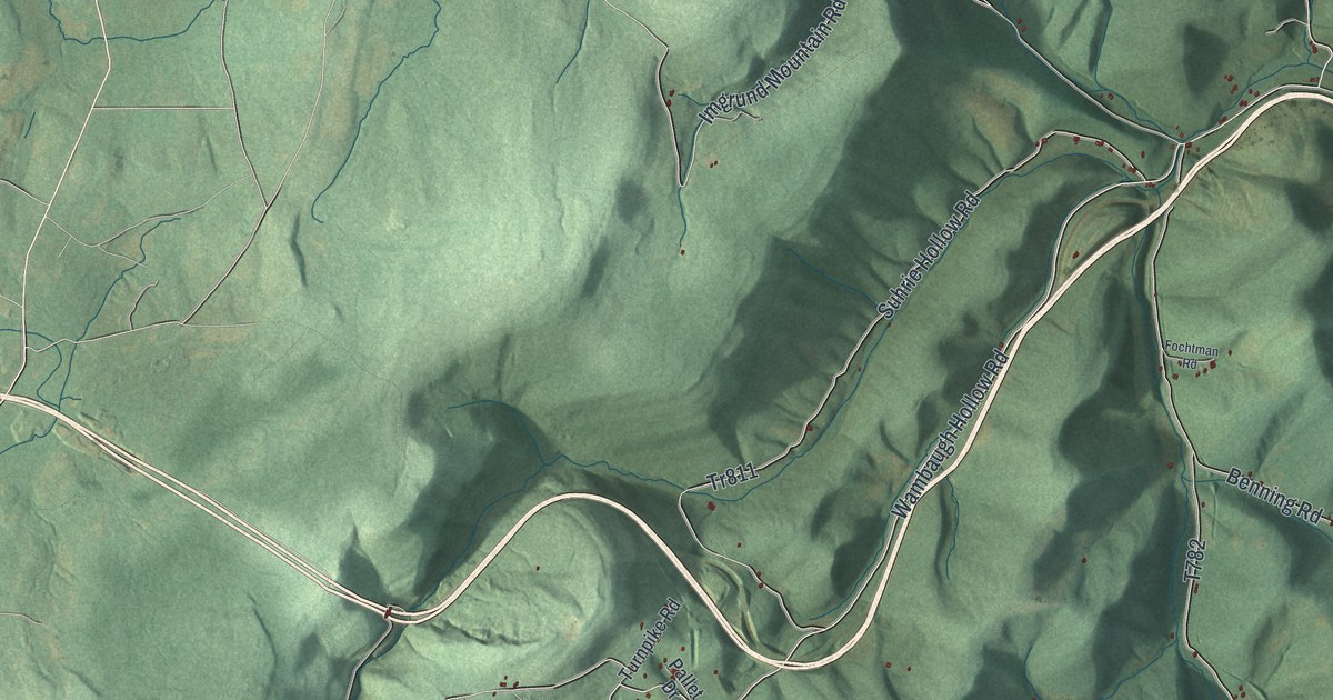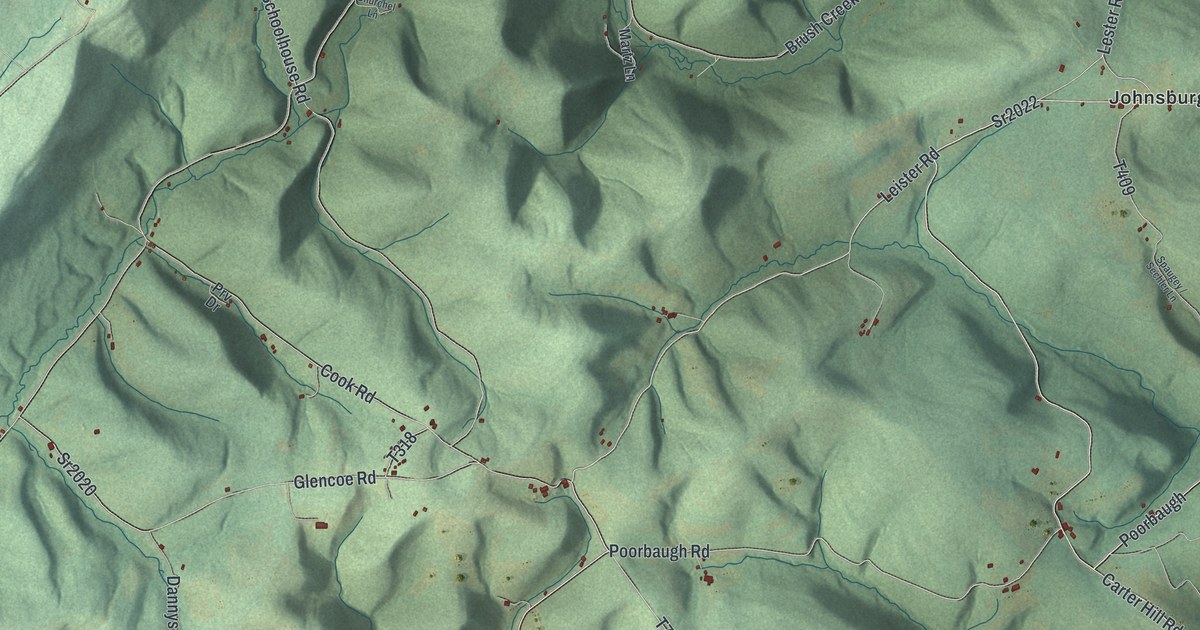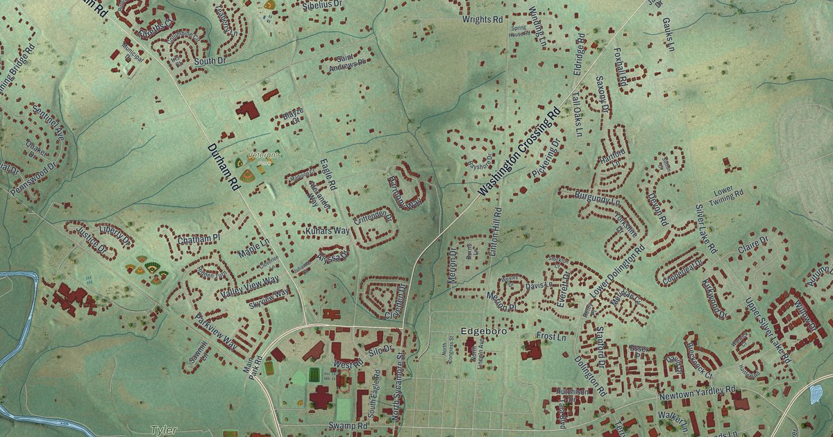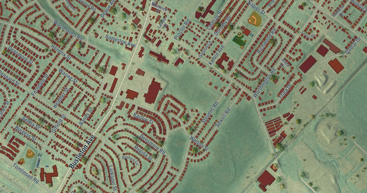
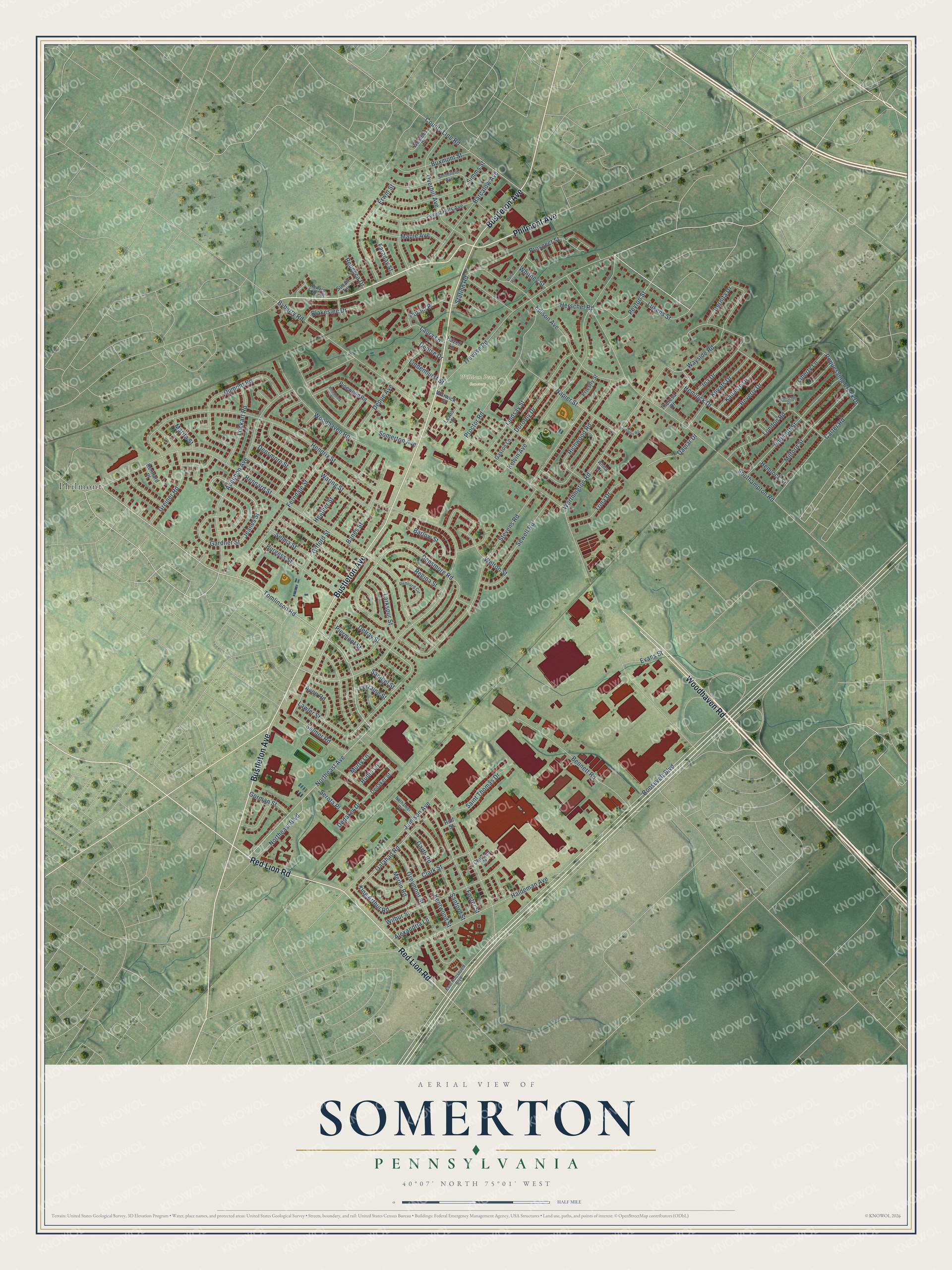
This beautifully detailed map of Somerton, Pennsylvania was created in 2026 using aerial imagery combined with modern topographical, census, street and landmark data. It’s a one-of-a-kind view of Somerton that combines accurate data with a vintage aesthetic. The map shows every building in its true location, many of the roads carry their names, and the shaded topographic relief shows the shape of the land.
Explore an aerial view of Somerton, Pennsylvania
On the map you’ll find William Penn Cemetery and Philmont, along with Philmont Avenue, Bustleton Avenue, Red Lion Road, Woodhaven Road, Tomlinson Road, Northeast Avenue, Larkspur Street, Selma Street, Lockart Road, County Line Road, and more. If you look closely you can even find your house accurately drawn in its correct location. Zoom in on the preview to look for yours.
Did You Know?
From Internet Archive: "A variety of gray and red granite, on Willard's place, between Somerton and Feasterville, has been used by the railroad company for bridge abutments."
Somerton is a place in Philadelphia County.
Take a closer look at the Somerton map
Names on this map
These names are printed on this map.
Places: William Penn Cemetery and Philmont.
Streets and roads: Philmont Avenue, Bustleton Avenue, Red Lion Road, Woodhaven Road, Tomlinson Road, Northeast Avenue, Larkspur Street, Selma Street, Lockart Road, County Line Road, Hemlock Drive, Roosevelt Boulevard.
More street names, A to Z
Alexandria Lane, Anna Drive, Audubon Avenue, Avon Road, Banes Street, Barcalow Avenue, Barlow Street, Bennett Road, Bernita Drive, Beverly Drive, Blakeslee Drive, Burgess Street, Buxmont Street, Byberry Road, Carter Road, Clark Street, Cowden Street, Damar Drive, Dana Avenue, Dedaker Drive, Dedaker Street, Delray Street, Denise Drive, Densmore Road, Densmore Street, Depue Avenue, Dorothy Drive, Dumont Road, East Roosevelt Boulevard, Edison Avenue, Endicott Street, Erwin Street, Evans Street, Faraday Street, Ferndale Street, Forest Hills Avenue, Foster Street, Galahad Road, Gardner Street, Garth Road, Gaston Lane, Gifford Street, Gorman Street, Greiner Road, Greymont Street, Haldeman Avenue, Hazell Lane, Heather Street, Hemlock Street, Hendrix Street, Herschel Place, Herschel Road, Hoff Street, Howard Arthur Drive, Ina Drive, Jamison Avenue, Jeanes Street, Jennifer Road, Kallaste Drive, Kelvin Avenue, Kentwood Street, King Arthur Road, Kovats Drive, Laura Lane, Lawler Street, Lewis Street, Liberty Lane, Lindenhurst Street, Lindsay Street, London Road, Lorraine Street, Lukens Street, Maple Avenue, Marita Street, Merlin Road, Milford Street, Murty Lane, Napier Street, Nathaniel Drive, Northeast Boulevard, Overhill Avenue, Petoni Place, Peyton Street, Piermont Street, Pinewood Place, Pinewood Road, Poquessing Creek Drive, Priestly Street, Proctor Road, Prospect Street, Rebecca Drive, Regina Street, Rennard Circle, Rennard Place, Rennard Street, Richwood Road, Rubin Lane, Saint Thomas Drive, Sanford Street, Sanibel Street, Selmer Road, Serota Place, Sewell Road, Simms Street, Smithfield Avenue, Somerton Avenue, Southampton Road, Station Road, Stevens Road, Susan Terrace, Theresa Drive, Trevose Road, Trina Drive, Waring Street, Warwick Street, Wayside Road, Welton Street, Wexford Place, Whitney Street, Wilbur Street, Worthington Road.
See it on a wall
The Somerton map as a framed print. Swipe for more.


This beautifully detailed map of Somerton makes an attractive addition to your office, library, or den, and it can even be used to teach children the geography and history of the area. It also makes a great gift for someone who left Somerton and still calls it home. When you’re done exploring, click here to get your copy of the Somerton map.