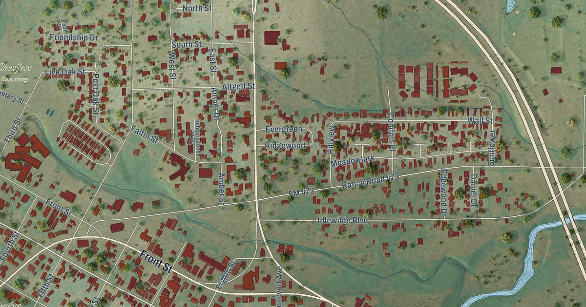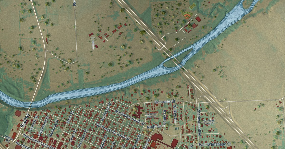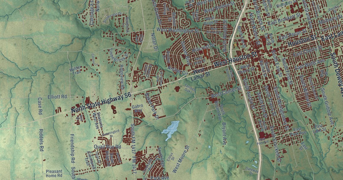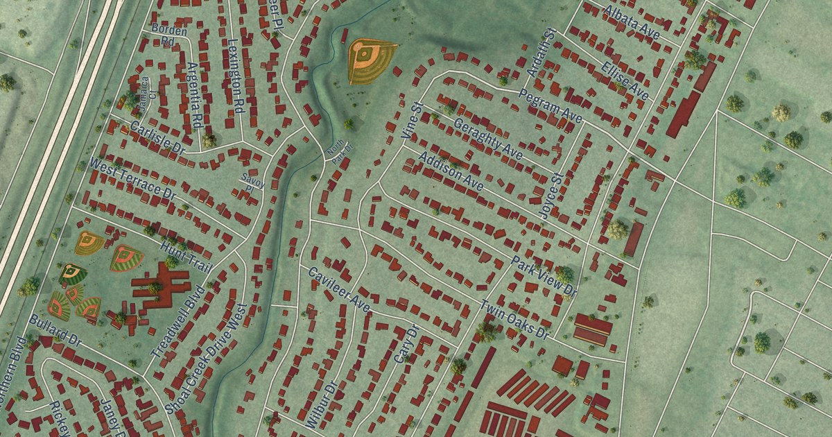
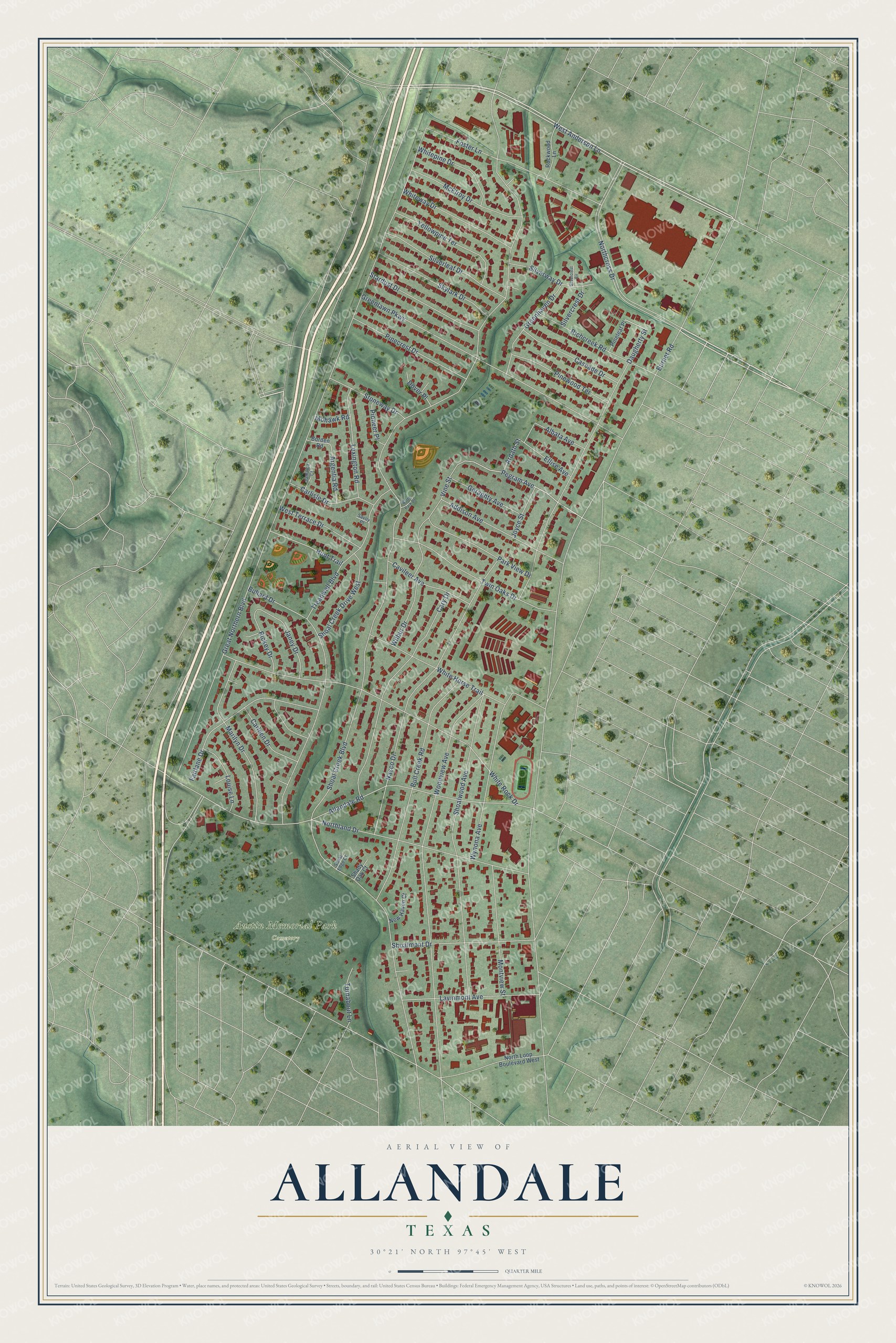
This beautifully detailed map of Allandale, Texas was created in 2026 using aerial imagery combined with modern topographical, census, street and landmark data. It’s a one-of-a-kind view of Allandale that combines accurate data with a vintage aesthetic. The map shows every building in its true location, many of the roads carry their names, and the shaded topographic relief shows the shape of the land.
Explore an aerial view of Allandale, Texas
On the map you’ll find Austin Memorial Park Cemetery, along with West Anderson Lane, Pegram Avenue, Shoal Creek Boulevard, Great Northern Boulevard, Burnet Road, Northcross Drive, Woodview Avenue, Northland Drive, White Rock Drive, Shoalwood Avenue, Nasco Drive, and more. If you look closely you can even find your house accurately drawn in its correct location. Zoom in on the preview to look for yours.
Take a closer look at the Allandale map
Names on this map
These names are printed on this map.
Places: Austin Memorial Park Cemetery.
Streets and roads: West Anderson Lane, Pegram Avenue, Shoal Creek Boulevard, Great Northern Boulevard, Burnet Road, Northcross Drive, Woodview Avenue, Northland Drive, White Rock Drive, Shoalwood Avenue, Nasco Drive, Daugherty Street.
More street names, A to Z
Addison Avenue, Albata Avenue, Allandale Road, Ardath Street, Argentia Road, Borden Road, Bullard Drive, Bull Creek Road, Carleen Drive, Carlisle Drive, Cary Drive, Cascade Drive, Cavileer Avenue, Dover Place, Ellise Avenue, Fairlane Drive, Foster Lane, Geraghty Avenue, Greenhaven Drive, Greenlawn Parkway, Hunt Trail, Jamaica Court, Janey Drive, Joyce Street, Lawnmont Avenue, Lexington Road, Louise Lane, Marilyn Drive, McElroy Drive, Mohawk Road, Montview Street, New Haven Court, North Loop Boulevard West, North Park Drive, Park View Drive, Pinecrest Drive, Pineleaf Place, Pinewood Terrace, Pioneer Place, Richcreek Road, Rickey Drive, Rockwood Lane, Savoy Place, Shady Oak Court, Shoal Creek Drive West, Shoal Edge Court, Shoalmont Drive, Silvercrest Circle, Silvercrest Drive, Silverleaf Drive, Silverway Drive, Skylark Drive, Stardust Drive, Stoneway Drive, Treadwell Boulevard, Turnabout Lane, Twin Oaks Drive, Vine Street, West Terrace Drive, White Horse Trail, Whitepine Drive, Whiteway Drive, Wilbur Drive, Wynona Avenue, Yellowpine Terrace.
See it on a wall
The Allandale map as a framed print. Swipe for more.


This beautifully detailed map of Allandale makes an attractive addition to your office, library, or den, and it can even be used to teach children the geography and history of the area. It also makes a great gift for anyone with Allandale roots. When you’re done exploring, click here to get your copy of the Allandale map.