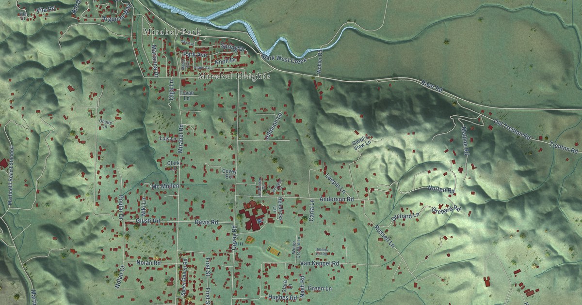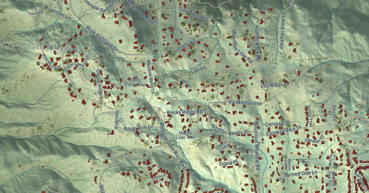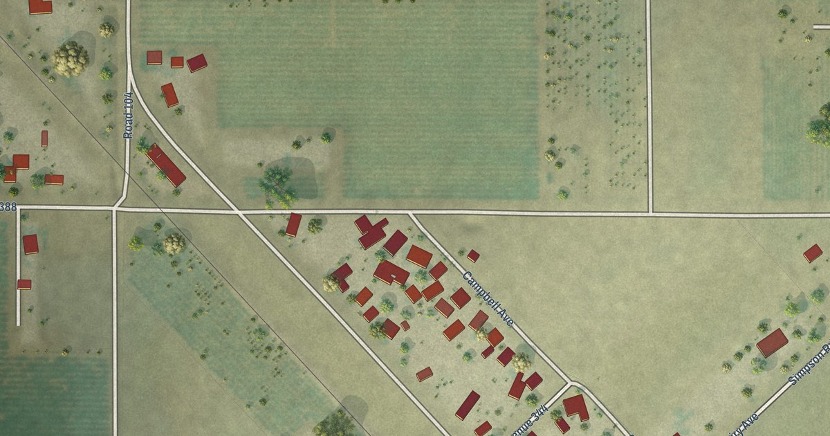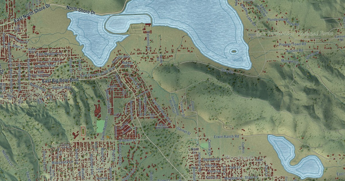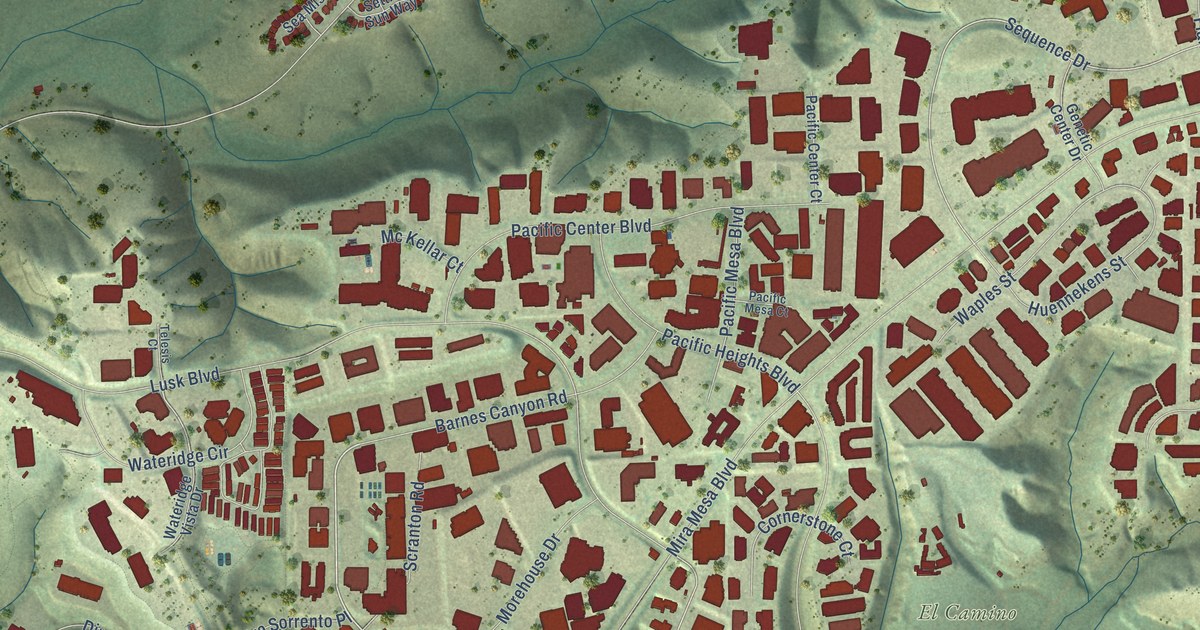
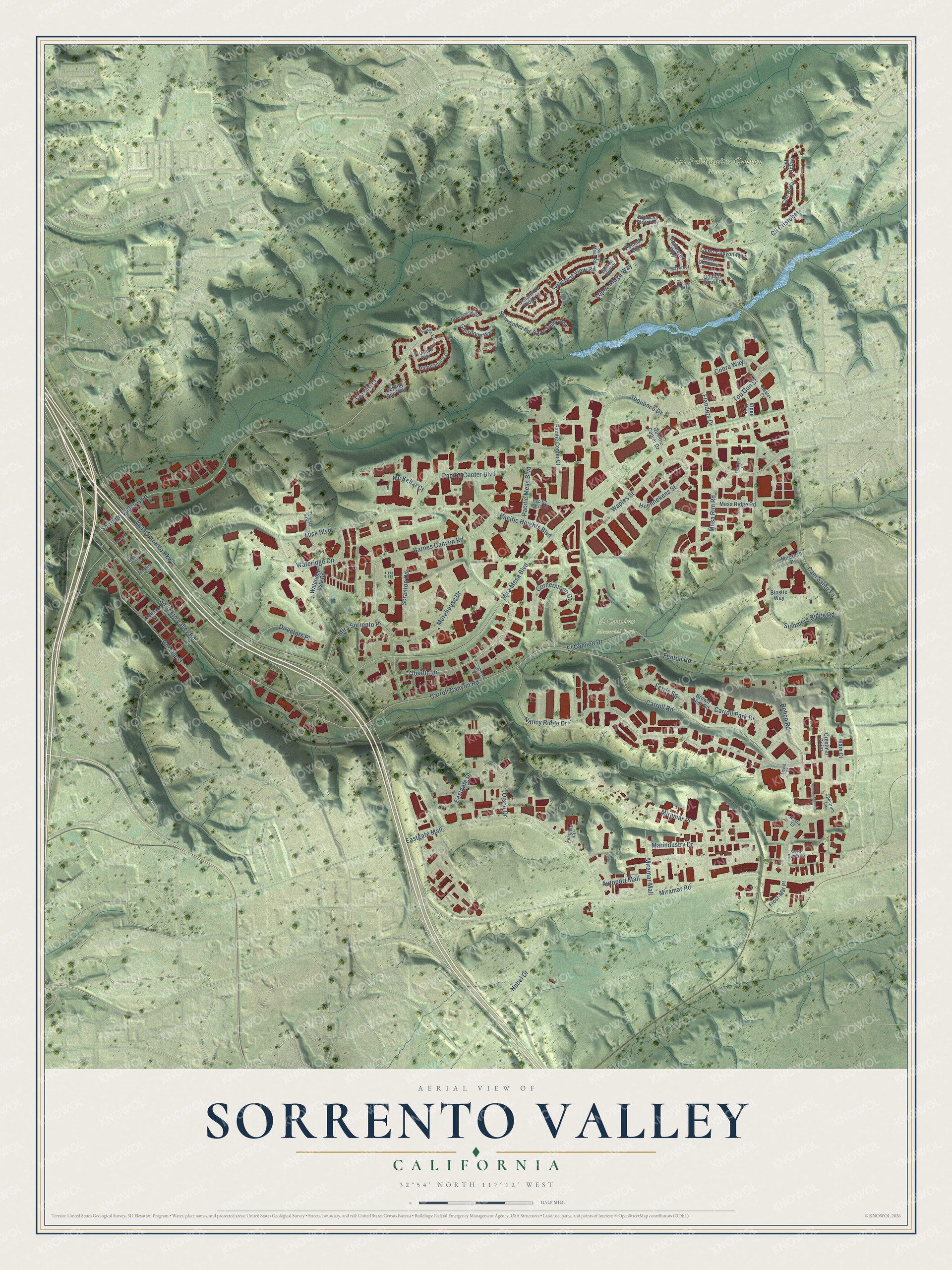
This beautifully detailed map of Sorrento Valley, California was created in 2026 using aerial imagery combined with modern topographical, census, street and landmark data. It’s a one-of-a-kind view of Sorrento Valley that combines accurate data with a vintage aesthetic. The map shows every building in its true location, many of the roads carry their names, and the shaded topographic relief shows the shape of the land.
Explore an aerial view of Sorrento Valley, California
On the map you’ll find El Camino Memorial Park, Los Peñasquitos Canyon Preserve, and Cam Santa Fe, along with Scranton Road, Sequence Drive, Oberlin Drive, Sorrento Valley Boulevard, Mira Mesa Boulevard, Miramar Road, Lusk Boulevard, Carroll Canyon Road, Vista Sorrento Parkway, and more. If you look closely you can even find your house accurately drawn in its correct location. Zoom in on the preview to look for yours.
Take a closer look at the Sorrento Valley map
Names on this map
These names are printed on this map.
Places: El Camino Memorial Park and Los Peñasquitos Canyon Preserve.
Streets and roads: Scranton Road, Sequence Drive, Oberlin Drive, Sorrento Valley Boulevard, Mira Mesa Boulevard, Miramar Road, Lusk Boulevard, Cam Santa Fe, Carroll Canyon Road, Vista Sorrento Parkway, Nancy Ridge Drive, Sorrento Valley Road.
More street names, A to Z
Arbutus Street, Autoport Mall, Barnes Canyon Road, Begonia Street, Biosite Way, Brown Deer Road, Canopy Ridge Lane, Canyon Bluff Court, Carroll Park Drive, Carroll Road, Cedarcrest Way, Cll Cristobal, Cmt Aclara, Cmt Rodar, Cobra Way, Cornerstone Court, Corte Santa Fe, Crestmar Point, Daffodil Street, Directors Place, Eastgate Court, Eastgate Drive, Eastgate Mall, El Camino Drive, El Ontono Way, Fenton Road, Ferris Square, Flanders Court, Flanders Drive, Frost-Mar Place, Genetic Center Drive, Glenstone Way, Golden Glen Lane, Greenshade Road, Heater Court, Huennekens Street, Juniper Park Lane, Liquid Court, Lopez Canyon Way, Lopez Glen Way, Lopez Ridge Way, Marindustry Drive, Maycrest Lane, Mc Kellar Court, Mesa Ridge Road, Mesa Rim Road, Miramar Mall, Miramar Place, Mira Sorrento Place, Miratech Drive, Morehouse Drive, Nobel Drive, Oceanview Ridge Lane, Olson Drive, Pacific Center Boulevard, Pacific Center Court, Pacific Heights Boulevard, Pacific Mesa Boulevard, Pacific Mesa Court, Panoramic Lane, Peinado Way, Rasha Street, Rehco Road, Roselle Street, Seacrest View Road, Sea Mist Court, Setting Sun Way, Shaw Lopez Road, Shaw Lopez Row, Spectrum Lane, Summers Ridge Road, Sunny Mesa Road, Tansy Street, Telesis Court, Top Gun Street, Viper Way, Waples Street, Ware Court, Wateridge Circle, Wateridge Vista Drive, Windward Ridge Way, Youngstown Way.
See it on a wall
The Sorrento Valley map as a framed print. Swipe for more.


This beautifully detailed map of Sorrento Valley makes an attractive addition to your office, library, or den, and it can even be used to teach children the geography and history of the area. It also makes a great gift for anyone with Sorrento Valley roots. When you’re done exploring, click here to get your copy of the Sorrento Valley map.