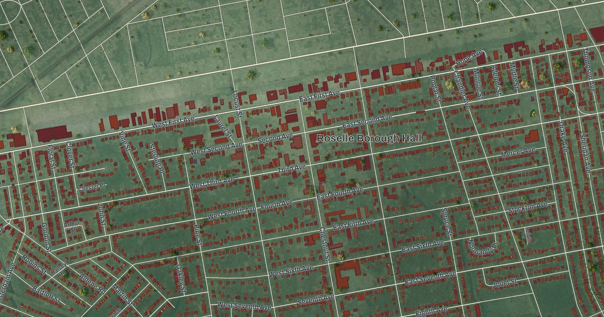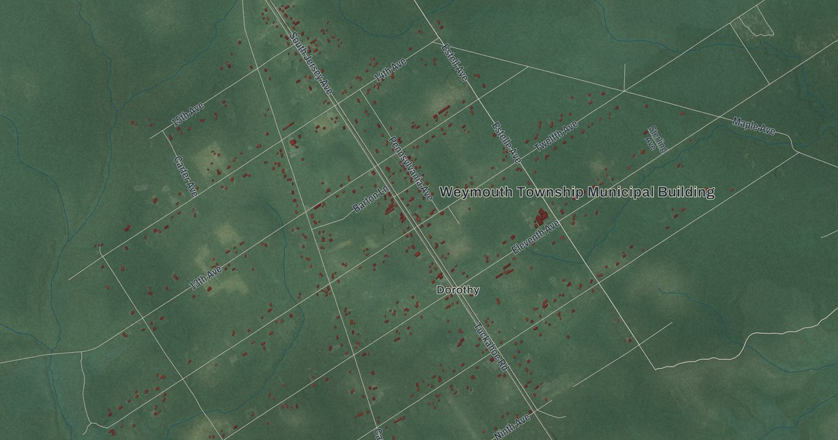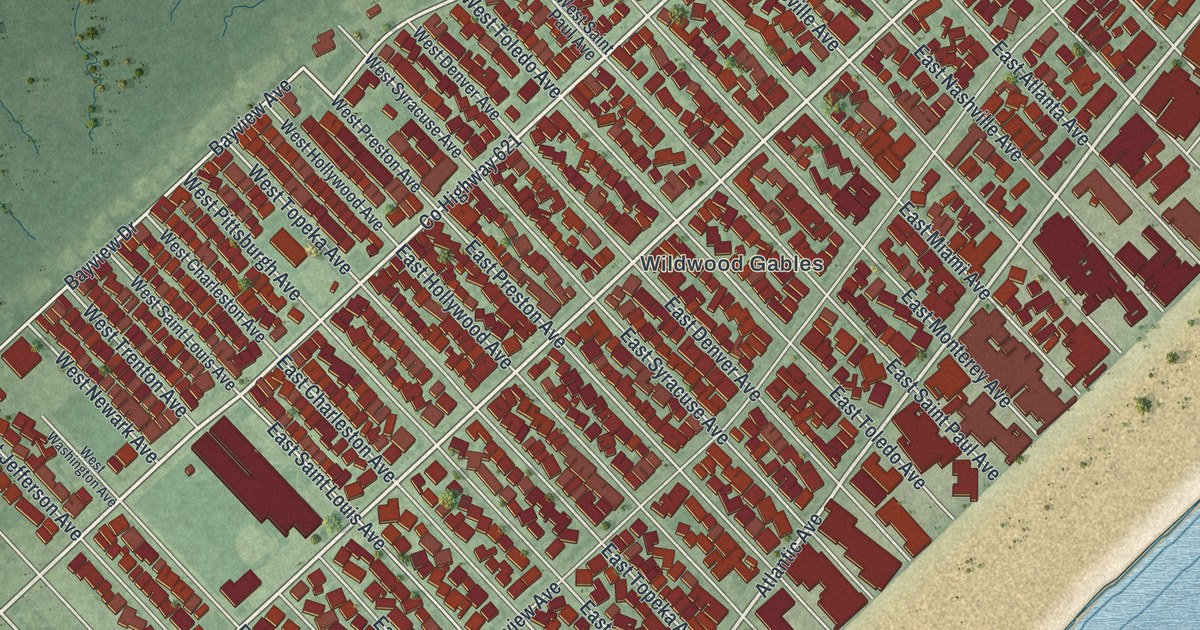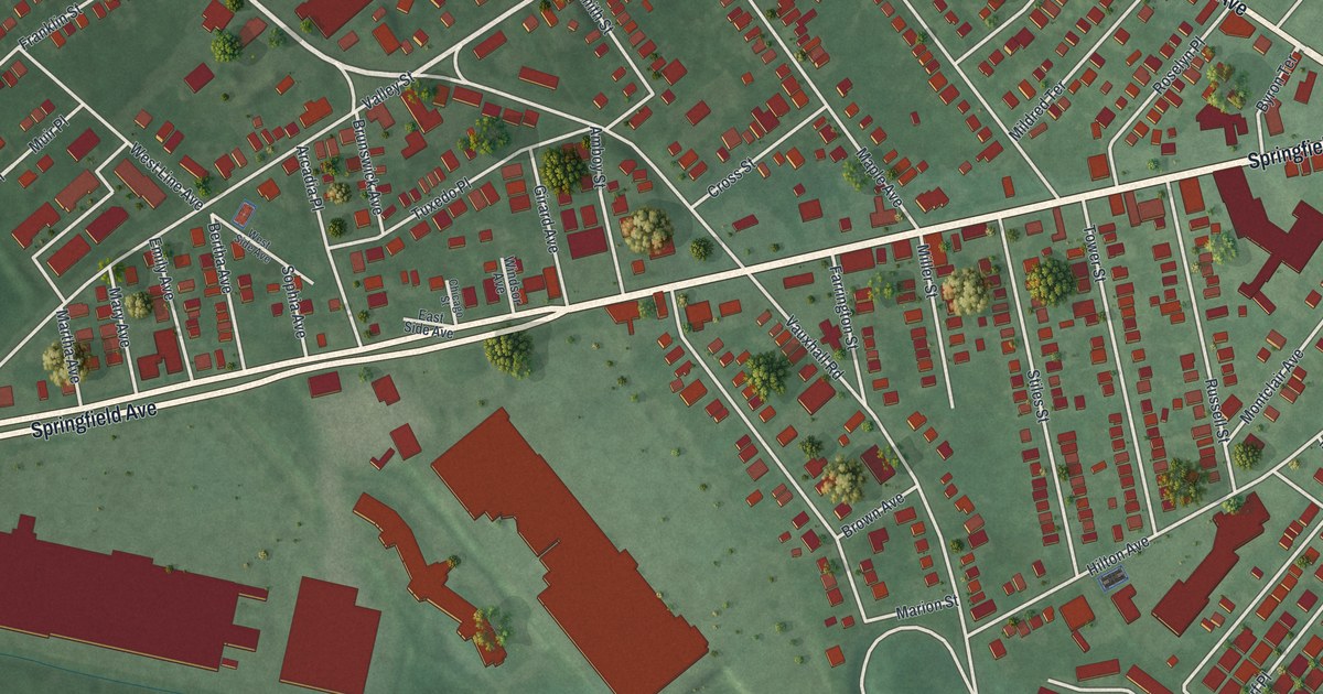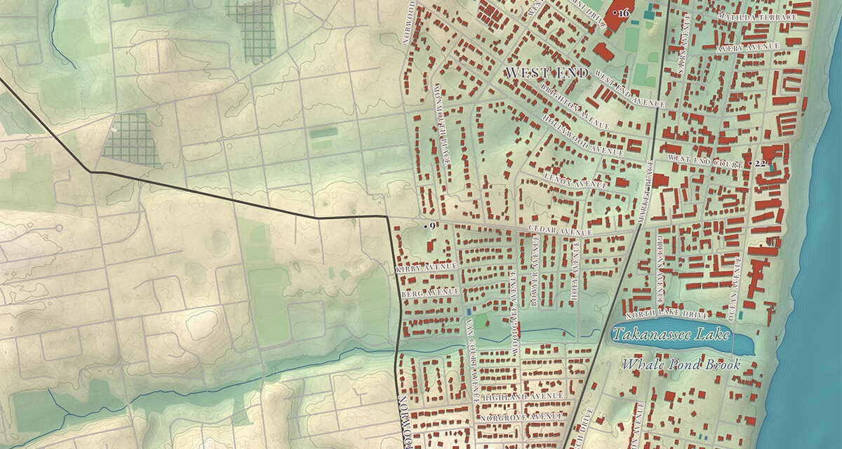
This map of Long Branch, New Jersey was created by KNOWOL in the tradition of nineteenth century panoramic lithographs. The map records the city in loving detail, and accurately depicts its roads, geography, and local and historical landmarks. Every building has been drawn individually, so you can zoom in and find your house or place of work. Each landmark on the map was researched and verified against the National Register of Historic Places, state records, and the institutions’ own histories.
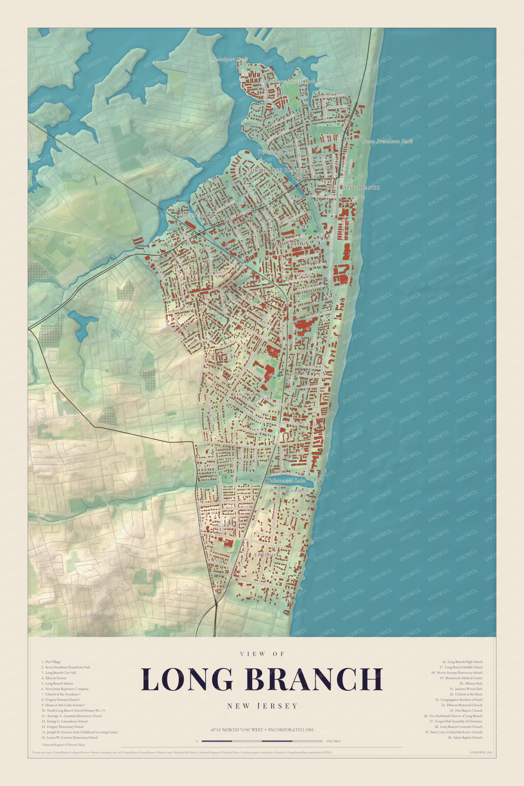
Click to explore a larger preview. The digital watermark does not appear on printed maps.
The preview carries a KNOWOL watermark. The printed map is produced from the full resolution original, at twice the detail shown here, with no watermark. Designed and printed in the USA.
Long Branch was the seaside resort of presidents; seven of them summered here, and the map remembers with the Church of the Presidents and Seven Presidents Oceanfront Park. This beautifully designed vintage style map follows the city along its boardwalk shore from Pier Village to Elberon, with Monmouth Medical Center, the New Jersey Repertory Company, and the schools and churches between.
Historic Long Branch landmarks on the map include:
- Long Branch City Hall
- Elberon Station
- Long Branch Station
- Church of the Presidents
- Gregory Primary School
- House at 364 Cedar Avenue
- North Long Branch School-Primary No. 3
- New Jersey Repertory Company
- Monmouth Medical Center
- Elberon Park
- Jackson Woods Park
- Seven Presidents Oceanfront Park
- Chabad of the Shore
- Congregation Brothers of Israel
- Elberon Memorial Church
- First Baptist Church
- First Reformed Church of Long Branch
- Gospel Hall Assembly of Christians
- Long Branch Covenant Church
- Saint Luke’s United Methodist Church
- Salem Baptist Church
- Amerigo A. Anastasia Elementary School
- George L. Catrambone School
- Gregory Elementary School
- Joseph M. Ferraina Early Childhood Learning Center
- Lenna W. Conrow Elementary School
- Long Branch High School
- Long Branch Middle School
- Morris Avenue Elementary School
- Pier Village
This map of Long Branch makes an attractive addition to your office, library, or den, and can even be used to teach children the geography and history of the area. Reproductions are available in the KNOWOL shop, printed on archival matte paper, unframed or framed in black or white wood. When you are done exploring, click here to get your copy of the map of Long Branch, New Jersey.

See it on a wall
The Long Branch map as a framed print. Swipe for more.