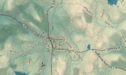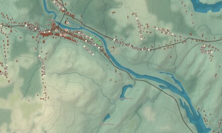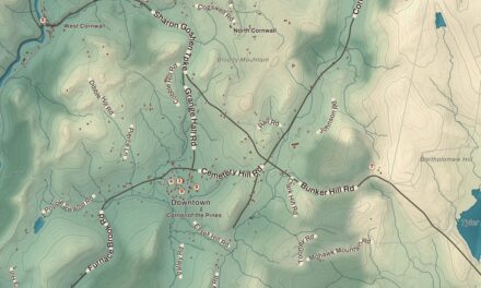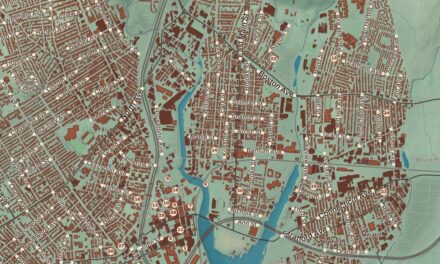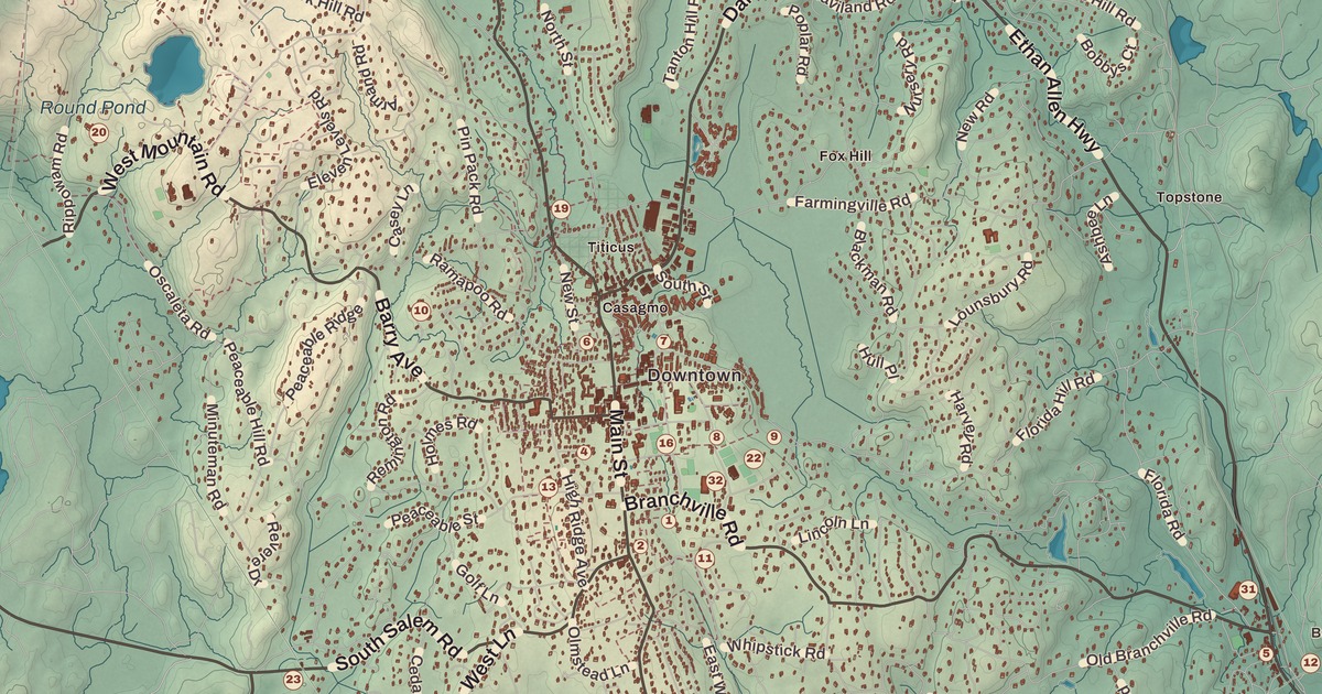
If you grew up in Ridgefield, or you’ve ever walked the mile of Main Street from the Keeler Tavern up to the library, you’ll find your town on this map just as it stands in 2026. Look for your road. Keeler Drive, Canterbury Lane, Farmingville Road, Old Trolley Road, George Washington Highway, Regan Road, Five Hill Road, Ramapoo Road, Whipstick Road and Silver Spring Road are all printed by name, along with many more.
Ridgefield is in Fairfield County, in the foothills of the Berkshires, on the New York state line.
KNOWOL made this map in 2026 from public survey data, and gave it the look of an old atlas. The shaded hills, from Pine Mountain, the town’s high point at 1,060 feet, and West Mountain down to Branchville at 342 feet, come from United States Geological Survey elevation data. The streets and the town line come from the Census Bureau, right down to roads like High Ridge Avenue. Branchville, Wataba Lake and Mamanasco Lake are printed by name. A guide of 34 numbered landmarks runs along the bottom, with the National Register sites marked, and we checked those against National Park Service records.
A Village on the Ridge
This is the ancestral homeland of the Ramapough, Munsee Lenape and Wiechquasegeck peoples. In 1708 a group of families from Norwalk bought the land from Chief Catoonah, 20,000 acres for 100 pounds sterling, and laid out home lots of 7.5 acres along the main road. The town was incorporated under a royal charter from the Connecticut General Assembly in 1709, and its name simply describes the place. That’s the year on the title panel: Incorporated 1709.
For most of its history Ridgefield was a farming town. Two of its 19th-century families, the Rockwells and the Lounsburys, married into each other and gave Connecticut two governors, the brothers George and Phineas Lounsbury. Late in the 1800s the railroad reached the village, and wealthy New Yorkers, drawn by hills that rise to 1,000 feet, built big estates and summer houses on the high ground. Most were broken up after the Depression, and the town became a suburb, but careful zoning has kept the look of the 1800s and early 1900s along Main Street. Click here to learn more about the history of Ridgefield.
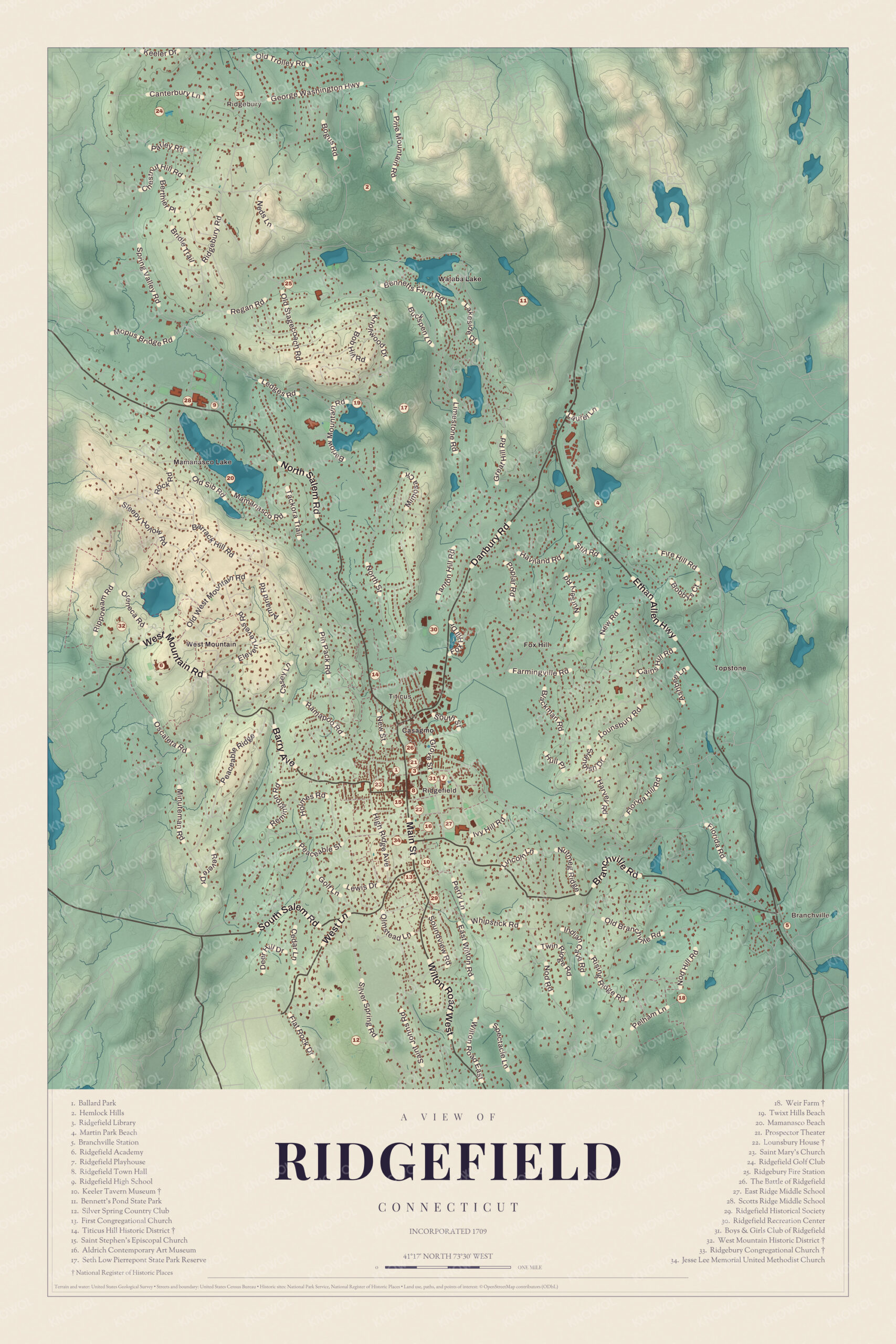
Click to explore a larger preview. The digital watermark does not appear on printed maps.
Names on this map
These names are printed on this map.
Places: Pine Mountain, Mamanasco Lake, Branchville, Ridgebury, East Ridge Middle School, Fire Hill, Fox Hill, Hemlock Hills, Keeler Tavern, Ridgefield High School, Scotts Ridge Middle School, Titicus Hill Historic District, Wataba Lake and West Mountain Historic District.
Streets and roads: Keeler Dr, Canterbury Ln, Regan Rd, Valley Rd, Salem Rd, Rippowam Rd, Farmingville Rd, Hill Rd, Lounsbury Rd, Hemlock Hill, Harvey Rd, Florida Rd.
More street names, A to Z
Saint Johns Rd, Soundview Rd, Wilton Rd.
Main Street
The cluster of numbers in the middle of the map is the village, strung along Main Street. The Ridgefield Center Historic District, listed on the National Register in 1984, covers 395 acres with 241 contributing buildings, among them the Reverend Thomas Hawley House of about 1715. A fire in 1895 led to a new Ridgefield Town Hall (8) and other buildings nearby.
Near the south end of Main Street, at number 152, is the Keeler Tavern Museum (10). Benjamin Hoyt built a one-room house here on one of the first home lots, and by the 1750s it was a farmhouse of two and a half stories. His nephew Timothy Keeler bought it in 1769 and, with his wife Esther, made it Keeler’s Inn, on the busy post road between Hartford and New York. On April 27, 1777, the Battle of Ridgefield was fought along the main street as British troops marched back from a raid on the Continental supply depot at Danbury, and a cannonball fired that day is still lodged in the tavern’s corner post. The architect Cass Gilbert bought the tavern in 1907 as his family’s summer home and added a garden house and a walled garden. Since 1966 it’s been a museum. The First Congregational Church (13) is just beside it, and the Ridgefield Historical Society (29) is a little farther south.
Up Main Street is the Aldrich Contemporary Art Museum (16). Larry Aldrich founded it in 1964 in “Old Hundred,” a building of 1783 that had been a store and a church, and it’s the only museum in Connecticut dedicated solely to contemporary art. Jesse Lee Memorial United Methodist Church (34) is close by. Farther up, at 316 Main Street, is the Lounsbury House (22), built in 1895 for Governor Phineas C. Lounsbury and modeled on the Connecticut State Building at the 1893 Columbian Exposition, which he had visited. The town bought it in 1945, and it’s a place for weddings, festivals and gatherings now. Saint Stephen’s Episcopal Church (15) is beside it.
At the north end of the village are the Ridgefield Library (3), Ballard Park (1) and the Prospector Theater (21), and the guide marks The Battle of Ridgefield (26) just beyond. The Ridgefield Playhouse (7), east of Main Street, opened in December 2000 in the auditorium of the old high school, designed in the 1940s by Cass Gilbert Jr., where during the Second World War townspeople could hear Arturo Toscanini conduct. The Boys and Girls Club of Ridgefield (31) and East Ridge Middle School (27) are nearby, and Saint Mary’s Church (23) is just west of the village.
North of the Village
Just north of the village, on Route 116, is Titicus, and the guide marks the Titicus Hill Historic District (14), with the Ridgefield Recreation Center (30) beyond it. Ridgefield High School (9) and Scotts Ridge Middle School (28) are up by Mamanasco Lake, an 86-acre lake. Seth Low Pierrepont State Park Reserve (17) covers 305 acres around Lake Naraneka, the pond the diplomat Seth Low Pierrepont made by damming a swamp after he bought the land in the 1930s, and from the top of Barlow Mountain you can sometimes see Long Island Sound. Bennett’s Pond State Park (11), out to the northeast, was once part of Louis D. Conley’s Outpost Farm estate, and it centers on a 56-acre pond with miles of trails.
In the far north is Ridgebury, where Rochambeau’s French army camped in the summer of 1781. The Ridgebury Congregational Church (33), founded in 1760, is a small Greek Revival church built about 1851 on an older foundation, with a square tower and corner pinnacles. The Ridgefield Golf Club (24) is next to it, and Hemlock Hills (2) is to the southeast. The guide also lists the Ridgebury Fire Station (25).
West Mountain
Northwest of the center, between the village and the New York line, is the West Mountain Historic District (32), 425 acres around West Mountain and Oreneca Roads, with five large country estates of the early 1900s. Its grandest house is Orenica, a stone Georgian Revival house of 1932. Ridgefield Academy (6) is nearby. Closer to the village, on Oak Knoll Road, is the Frederic Remington House, a National Historic Landmark. The painter and sculptor of the American West and his wife Eva designed it in 1909, and he made some of his finest work there, including the sculpture The Stampede, before he died a few months after it was finished.
Branchville and Weir Farm
In the southeast corner is Branchville, the town’s lowest ground. Branchville Station (5) opened in 1852 on the Danbury and Norwalk Railroad as Ridgefield station and took the name Branchville when the branch line to the village opened in 1870. The present station house was built in 1905. Nearby is Weir Farm (18). In 1882 the Impressionist painter J. Alden Weir got a 153-acre farm here from Erwin Davis for $10 and a work of art, and he and the artists he hosted, Childe Hassam, Albert Pinkham Ryder, John Singer Sargent and John Twachtman among them, painted the countryside around it. It became a National Historic Site in 1990 and a National Historical Park in 2021, one of two National Park Service sites devoted to the visual arts. Silver Spring Country Club (12) is in the south of town, Martin Park Beach (4) is in the northeast, and the guide also lists Twixt Hills Beach (19) and Mamanasco Beach (20).
This map of Ridgefield makes a handsome addition to a living room, office, library or den, and it can even help teach children the geography and history of the town. It’s a thoughtful gift for anyone who calls Ridgefield home, grew up here, or moved away. Created by KNOWOL in 2026, it’s printed on museum quality archival paper in three sizes. Zoom in on the preview above to explore the details, then click here to get your copy of the Ridgefield map.

Sources
- Ridgefield, Connecticut, Wikipedia
- Ridgefield Center Historic District, Wikipedia
- Ridgefield Center Historic District, National Register nomination, National Park Service
- Keeler Tavern, Wikipedia
- Battle of Ridgefield, Wikipedia
- The Aldrich Contemporary Art Museum, Wikipedia
- Phineas Chapman Lounsbury House, Wikipedia
- Ridgefield Playhouse, Wikipedia
- Seth Low Pierrepont State Park Reserve, Wikipedia
- Bennett’s Pond State Park, Wikipedia
- Ridgebury Congregational Church, Wikipedia
- West Mountain Historic District, Wikipedia
- Frederic Remington House, Wikipedia
- Branchville station, Wikipedia
- Weir Farm National Historical Park, Wikipedia