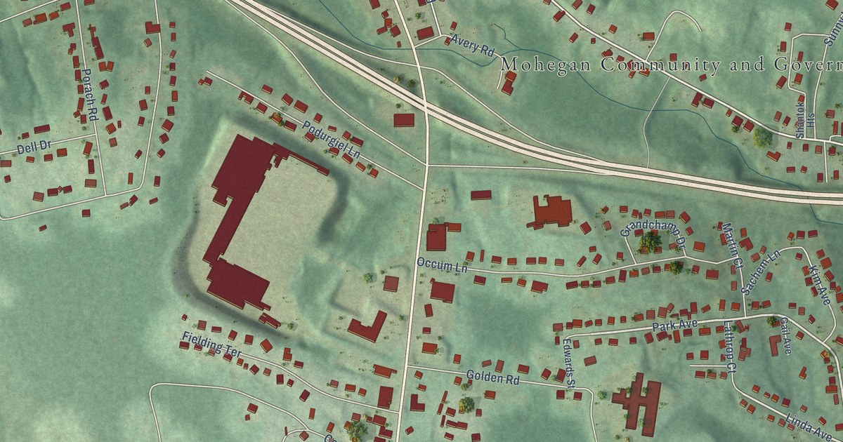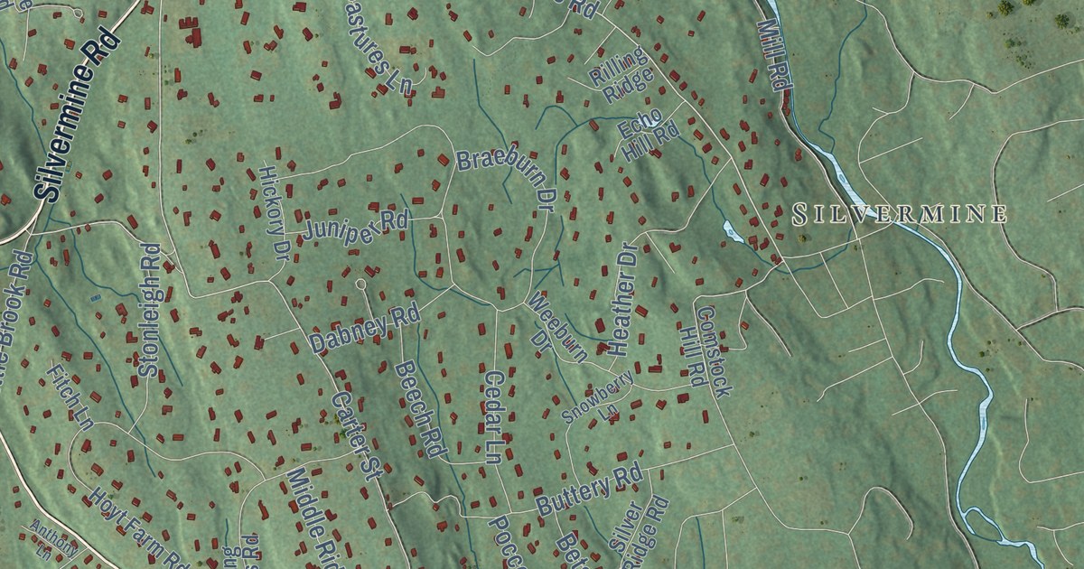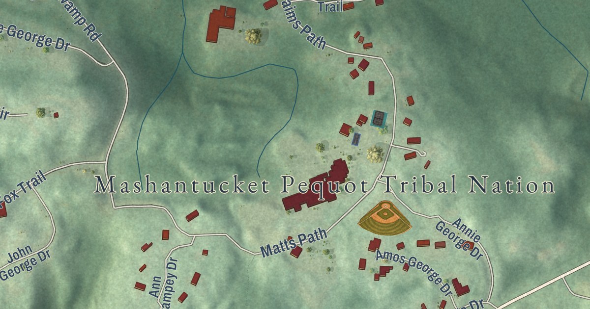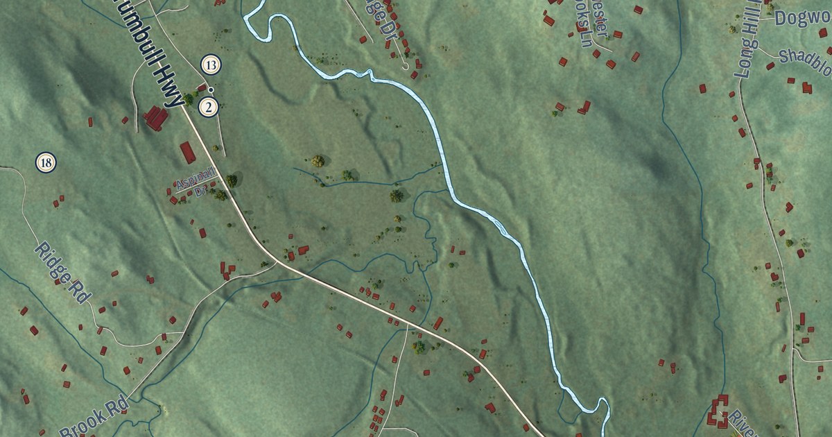
This beautifully detailed map of Andover, Connecticut was created in 2026 using aerial imagery combined with modern topographical, census, street and landmark data. It’s a one-of-a-kind view of Andover that combines accurate data with a vintage aesthetic. The map shows every building in its true location, many of the roads carry their names, and the shaded topographic relief shows the shape of the land.
See it on a wall
The Andover map as an 18 x 24 inch print in a black frame.

Explore an aerial view of Andover, Connecticut
On the map you’ll find Downtown, Bunker Hill, Monument Hill, New Boston Hill, Bishop Swamp Wildlife Management Area, Nathan Hale State Forest, Andover Sportsmen Club Hunting, and Camp Hi Hoti, along with Jonathan Trumbull Highway, Willimantic Road, Hebron Road, Boston Hill Road, and more. If you look closely you can even find your house accurately drawn in its correct location. Zoom in on the preview to look for yours. Click here to learn more about the history of Andover.
Take a closer look at the Andover map
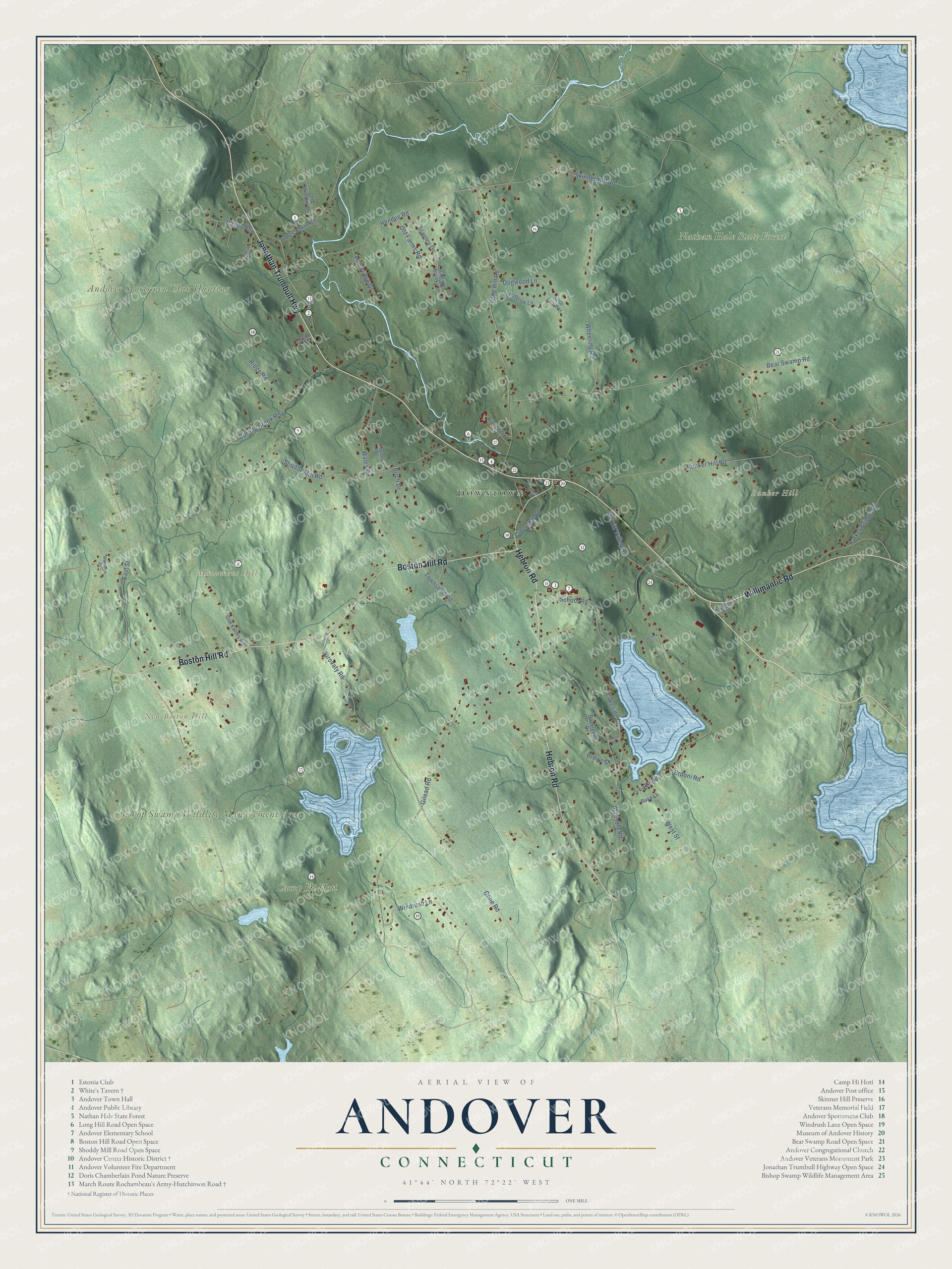
Click to explore a larger preview. The digital watermark does not appear on printed maps.
Names on this map
These names are printed on this map.
Places: Downtown, Bunker Hill, Monument Hill, New Boston Hill, Bishop Swamp Wildlife Management Area, Nathan Hale State Forest, Andover Sportsmen Club Hunting and Camp Hi Hoti.
Streets and roads: Jonathan Trumbull Highway, Willimantic Road, Hebron Road, Boston Hill Road, West Street, Lake Road, Long Hill Road, Gilead Road, Bear Swamp Road, Bunker Hill Road, Hendee Road, Shoddy Mill Road.
More street names, A to Z
Aspinall Drive, Bailey Road, Bausola Road, Birch Drive, Brown Drive, Burnap Brook Road, Center Street, Chester Brooks Lane, Cider Mill Road, Cone Road, Dogwood Lane, East Street, Erdoni Road, Hickory Hill Drive, Island Street, Jurovaty Lane, Jurovaty Road, Kingsley Drive, Lakeside Drive, Lakeview Drive, Lindholms Cor, Merritt Valley Road, Oak Farms Road, Old Coventry Road, Old Farms Road, Parker Bridge Road, Pine Ridge Drive, Ridge Road, Riverside Drive, Rockledge Drive, Rose Lane, School Road, Shadblow Lane, Skinner Hill Road, Stanley Drive, Times Farm Road, Townsend Road, Wales Road, Webster Lane, Wheeling Road, Windrush Lane, Wood Fern Way.
This beautifully detailed map of Andover makes an attractive addition to your office, library, or den, and it can even be used to teach children the geography and history of the area. It also makes a great gift for anyone with Andover roots. When you’re done exploring, click here to get your copy of the Andover map.