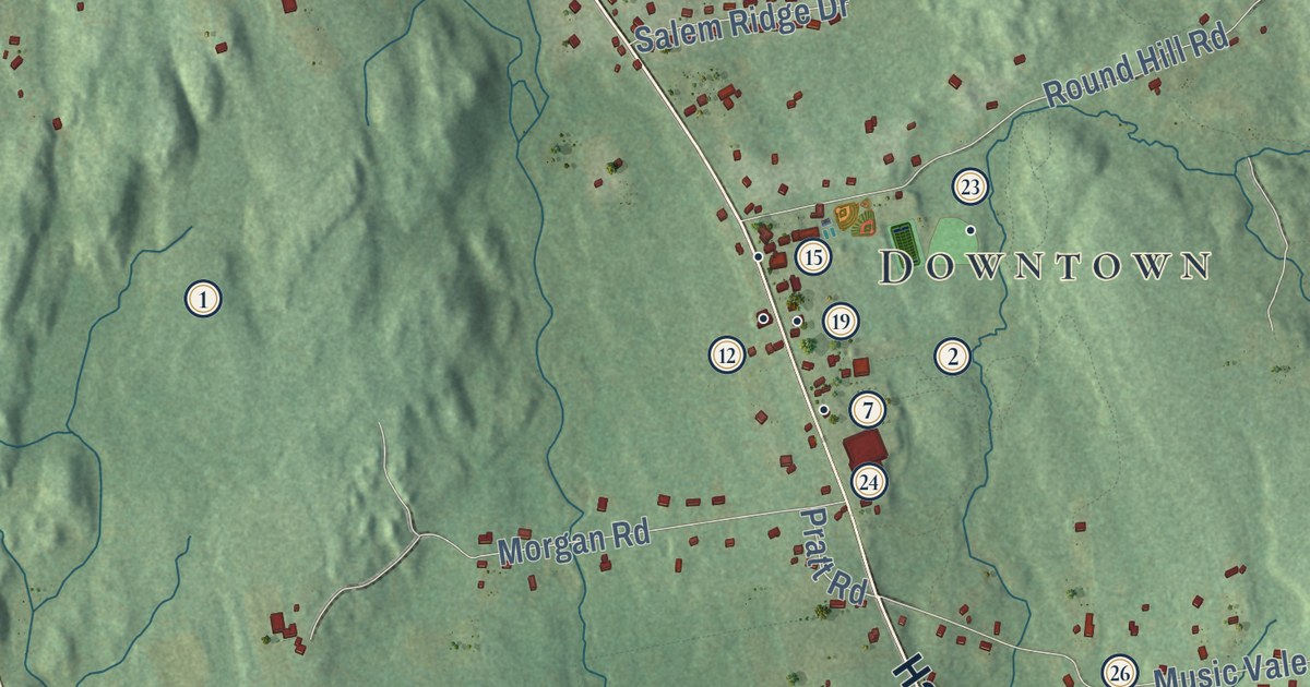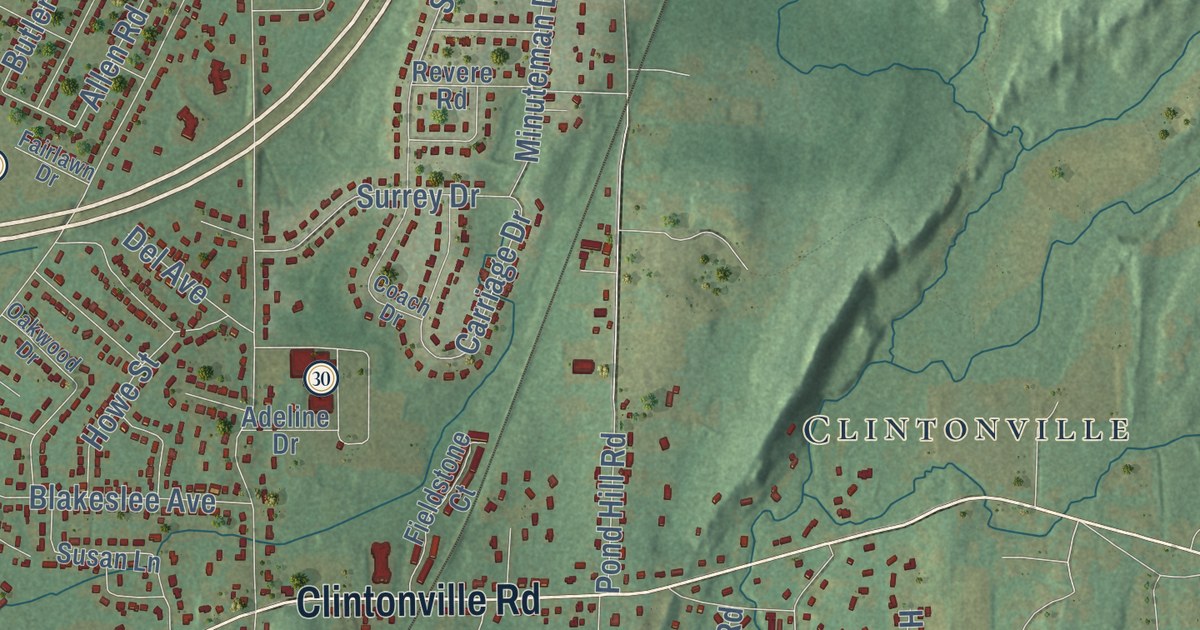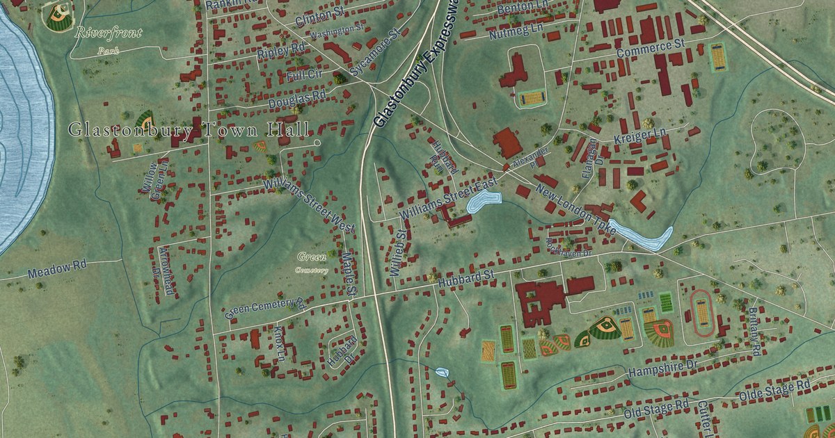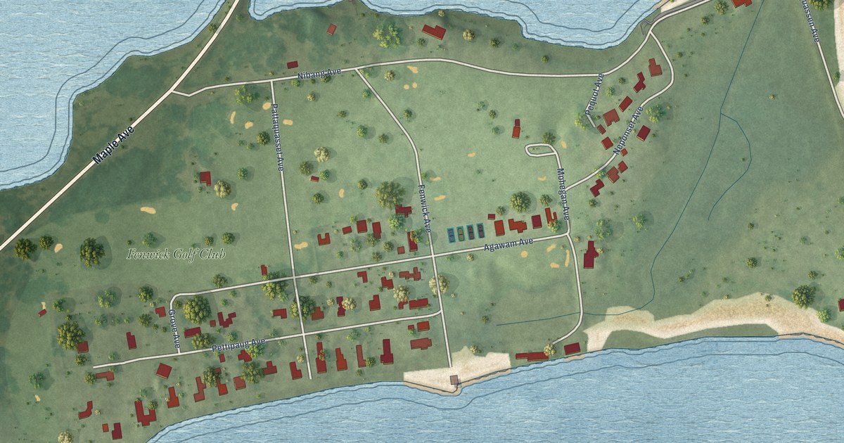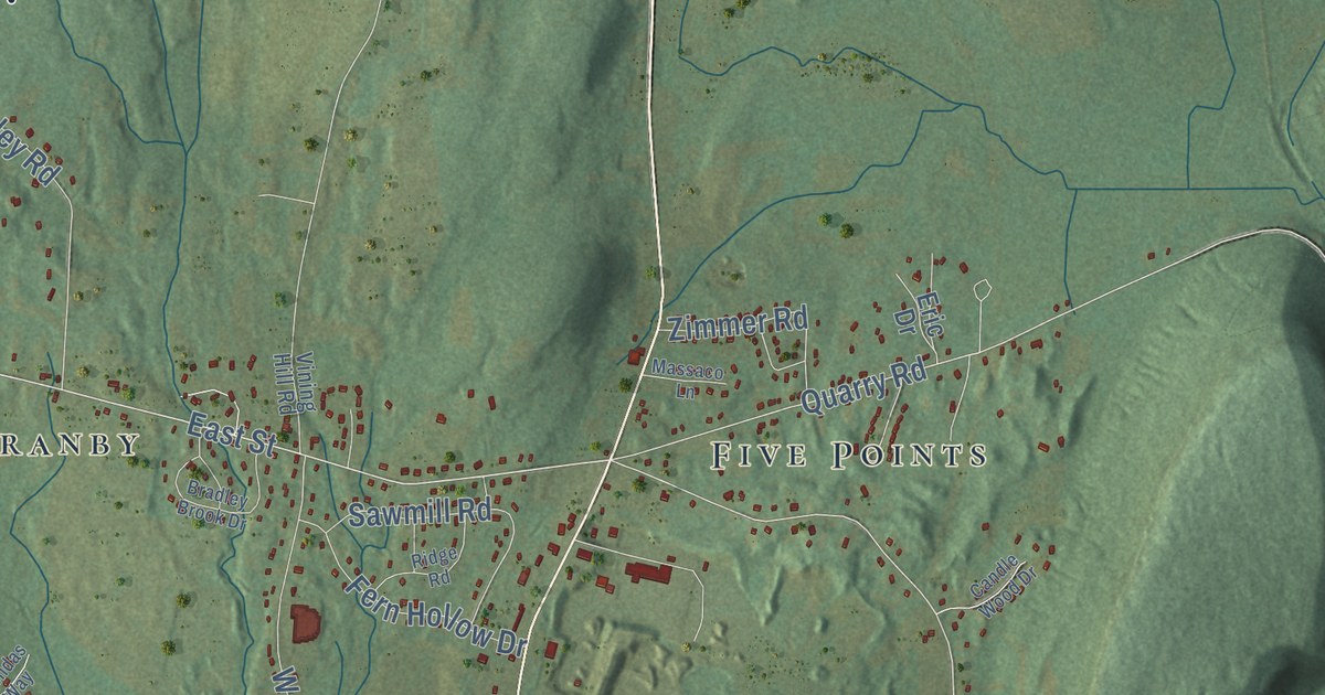
This beautifully detailed map of Granby, Connecticut was created in 2026 using aerial imagery combined with modern topographical, census, street and landmark data. It’s a one-of-a-kind view of Granby that combines accurate data with a vintage aesthetic. The map shows every building in its true location, many of the roads carry their names, and the shaded topographic relief shows the shape of the land.
See it on a wall
The Granby map as an 18 x 24 inch print in a black frame.

Explore an aerial view of Granby, Connecticut
On the map you’ll find Downtown, Broad Hill, Bushy Hill, Crag Mountain, Duncaster Hill, Carson Pond, Congamond Lakes South Pond, Enders State Forest, Godard Preserve, Holcomb Farm, Holcombe Preserve, McLean Game Refuge, and more. If you look closely you can even find your house accurately drawn in its correct location. Zoom in on the preview to look for yours. Click here to learn more about the history of Granby.
Take a closer look at the Granby map
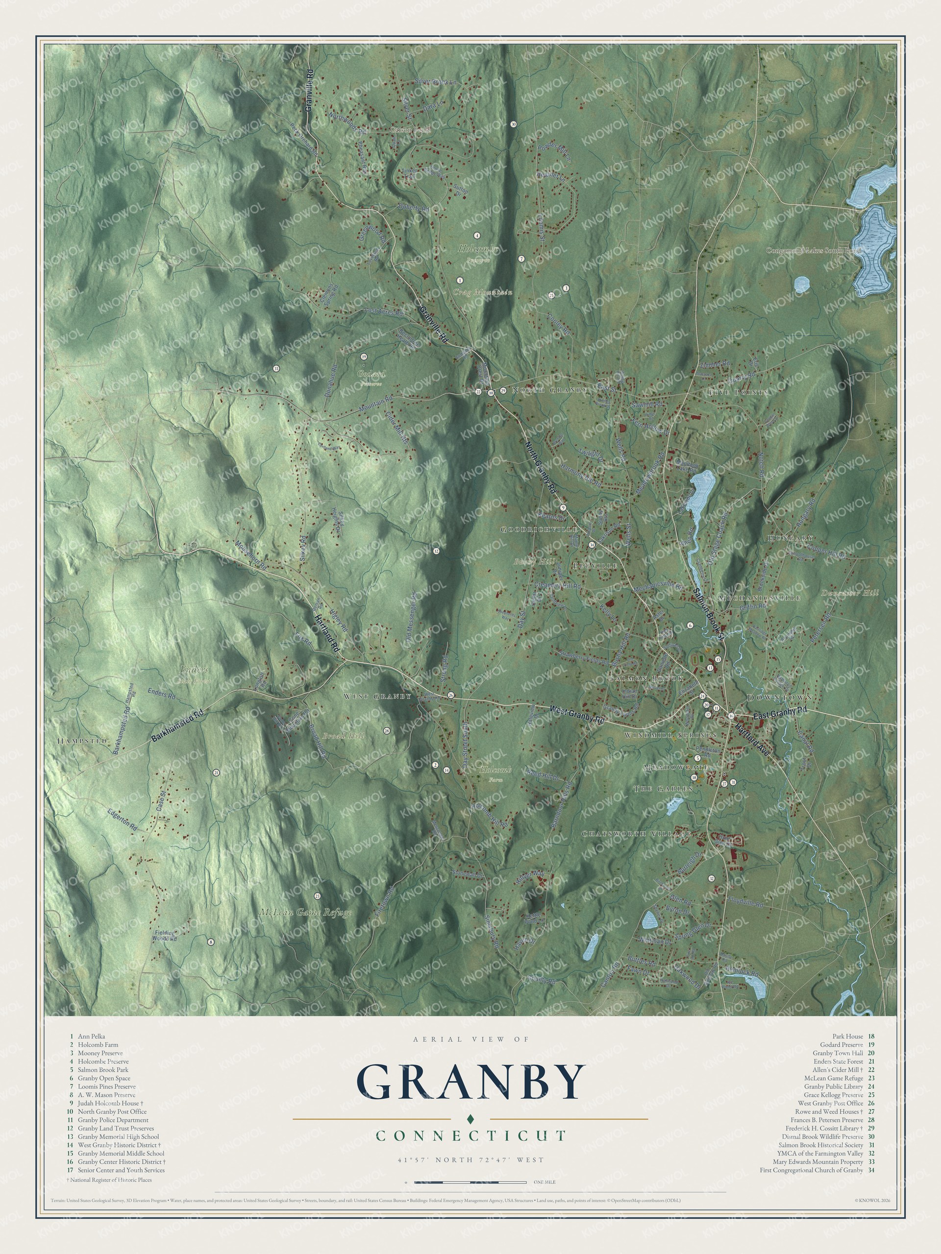
Click to explore a larger preview. The digital watermark does not appear on printed maps.
Names on this map
These names are printed on this map.
Places: Downtown, Broad Hill, Bushy Hill, Crag Mountain, Duncaster Hill, Carson Pond, Congamond Lakes South Pond, Enders State Forest, Godard Preserve, Holcomb Farm, Holcombe Preserve, McLean Game Refuge, Chatsworth Village, Five Points, Hampsted, Pegville, North Granby, Meadowgate, West Granby, Hungary, Mechanicsville, The Gables, Goodrichville, Windmill Springs and Salmon Brook.
Streets and roads: North Granby Road, Hartland Road, East Granby Road, Granville Road, Salmon Brook Street, West Granby Road, Barkhamsted Road, Hartford Avenue, East Street, Mountain Road, Notch Road, Quarry Road.
More street names, A to Z
Allen Road, Aster Drive, Barkhampsted Road, Barndoor Hills Road, Basile Road, Becontree Heath Road, Beman Road, Birchwood Drive, Bradley Brook Drive, Brendas Way, Broad Hill Road, Brookside Drive, Burleigh Drive, Bushy Hill Road, Buttles Road, Byron Drive, Canal Road, Candle Wood Drive, Canton Road, Case Street, Cedar Drive, Cider Mill Heights, Clemons Spring Road, Cone Hill Drive, Cone Mountain Road, Cooley Road, Copper Hill Road, Cortland Way, County Road, Cranberry Lane, Creamery Hill Road, Danielle Road, Dara Lane, Day Street, Day Street South, Doherty Road, Donahue Road, Edgerton Road, Elizabeth Street, Enders Road, Eric Drive, Farmview Lane, Fawn Drive, Fern Hollow Drive, Fielding Woods Road, Firetown Road, Floydville Road, Fox Road, Glen Road, Goddard Road, Granby Farms Road, Greenwood Road, Griffin Road, Haleview Drive, Halwood Drive, Hampsted Road, Hampton Village Drive, Harmony Hill Road, Haven Drive, Heather Lane, Hemlock Road, High Ridge Drive, Higley Road, Hillyer Way, Holcomb Hill Road, Hungary Road, Hunt Glen Drive, Ice Pond Road, Indian Hill Drive, Juniper Drive, Kearns Drive, Kelly Lane, Kettle Pond Lane, Lakeside Drive, Longlott Road, Loomis Street, Lost Acres Road, Loveland Road, Manitook Lake Road, Maple Hill Drive, Massaco Lane, Meadowbrook Road, Mechanicsville Road, Messenger Road, Moosehorn Road, Mountain Crest Drive, Muriel Drive, Northwoods Road, Oakwood Drive, Old Field Road, Old Messenger Road, Old Simsbury Road, Old Stage Coach Road, Partridge Meadow Road, Peck Orchard Road, Pendleton Road, Petersen Road, Pheasant Run, Pine Hill Road, Powder Mill Lane, Quail Lane, Reed Hill Drive, Ridge Road, Roundhill Road, Sakrison Road, Sawmill Road, Schoolhouse Road, Shelley Drive, Shepherds Way, Silkey Heights Drive, Silkey Road, Silver Brook Lane, Silver Street, Simsbury Road, Spring Glen Drive, Stone Hedge Way, Stonewall Drive, Strawberry Fields Road, Strong Road, Sullivan Drive, Sunny Heights, Sutton Drive, Tinker Trail, Trout Drive, Twilight Drive, Vining Hill Road, Wells Road, Wells Street, Whitman Drive, Wolcott Drive, Woodcliff Drive, Zimmer Road.
This beautifully detailed map of Granby makes an attractive addition to your office, library, or den, and it can even be used to teach children the geography and history of the area. It also makes a great gift for someone who left Granby and still calls it home. When you’re done exploring, click here to get your copy of the Granby map.