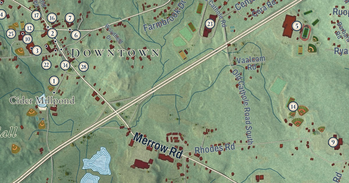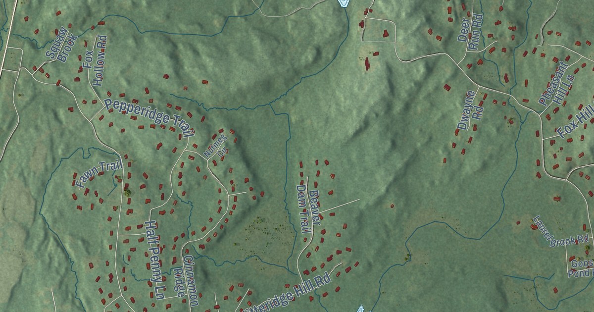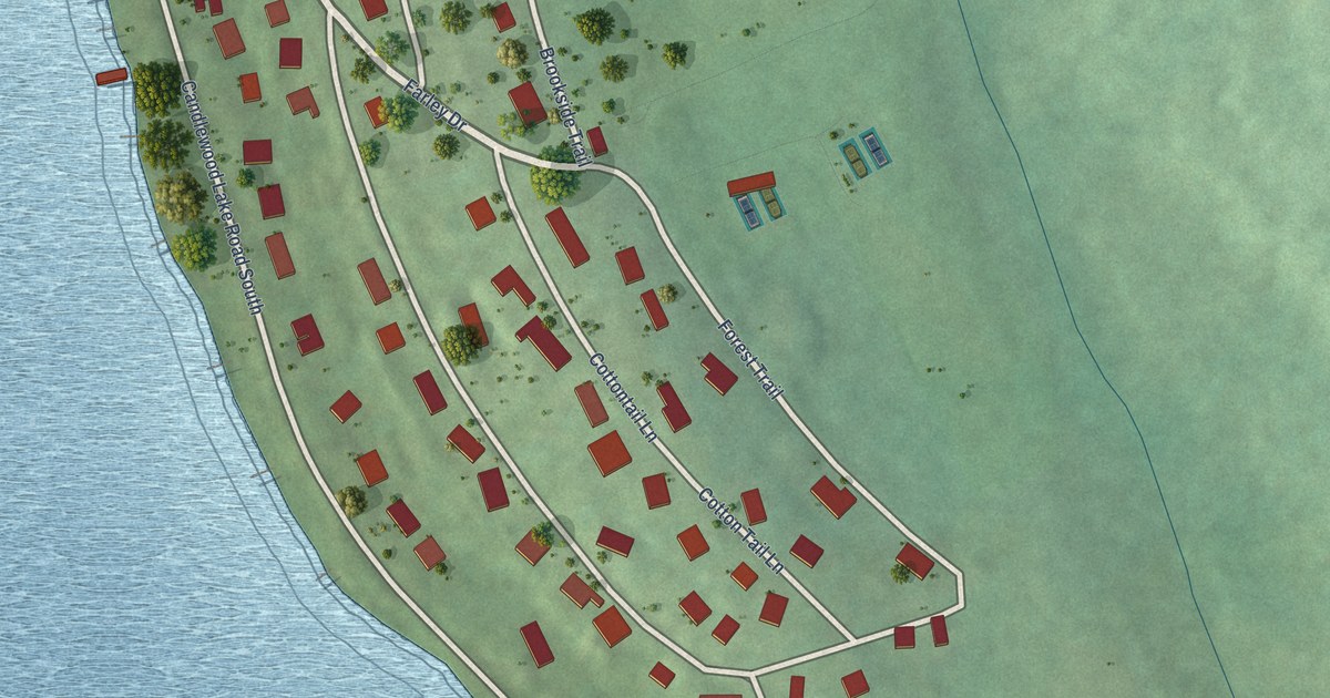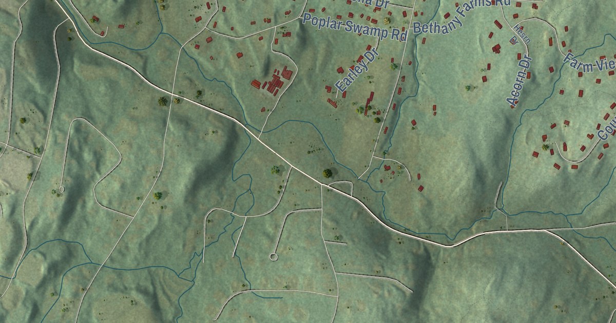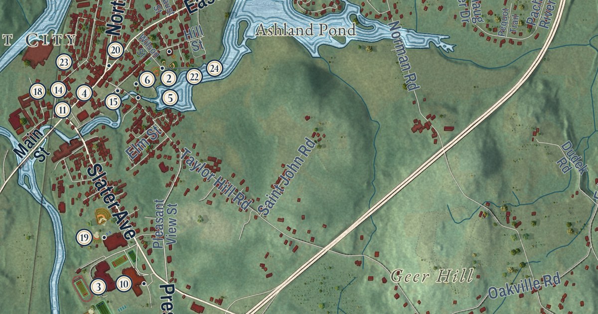
This beautifully detailed map of Griswold, Connecticut was created in 2026 using aerial imagery combined with modern topographical, census, street and landmark data. It’s a one-of-a-kind view of Griswold that combines accurate data with a vintage aesthetic. The map shows every building in its true location, many of the roads carry their names, and the shaded topographic relief shows the shape of the land.
See it on a wall
The Griswold map as an 18 x 24 inch print in a black frame.

Explore an aerial view of Griswold, Connecticut
On the map you’ll find Downtown, Clayville, Jewett City, Barton Island, Bay Mountain, Breakneck Hill, Geer Hill, Amos Lake, Ashland Pond, Doaneville, Hopeville, Bethel, and more. If you look closely you can even find your house accurately drawn in its correct location. Zoom in on the preview to look for yours. Click here to learn more about the history of Griswold.
Take a closer look at the Griswold map
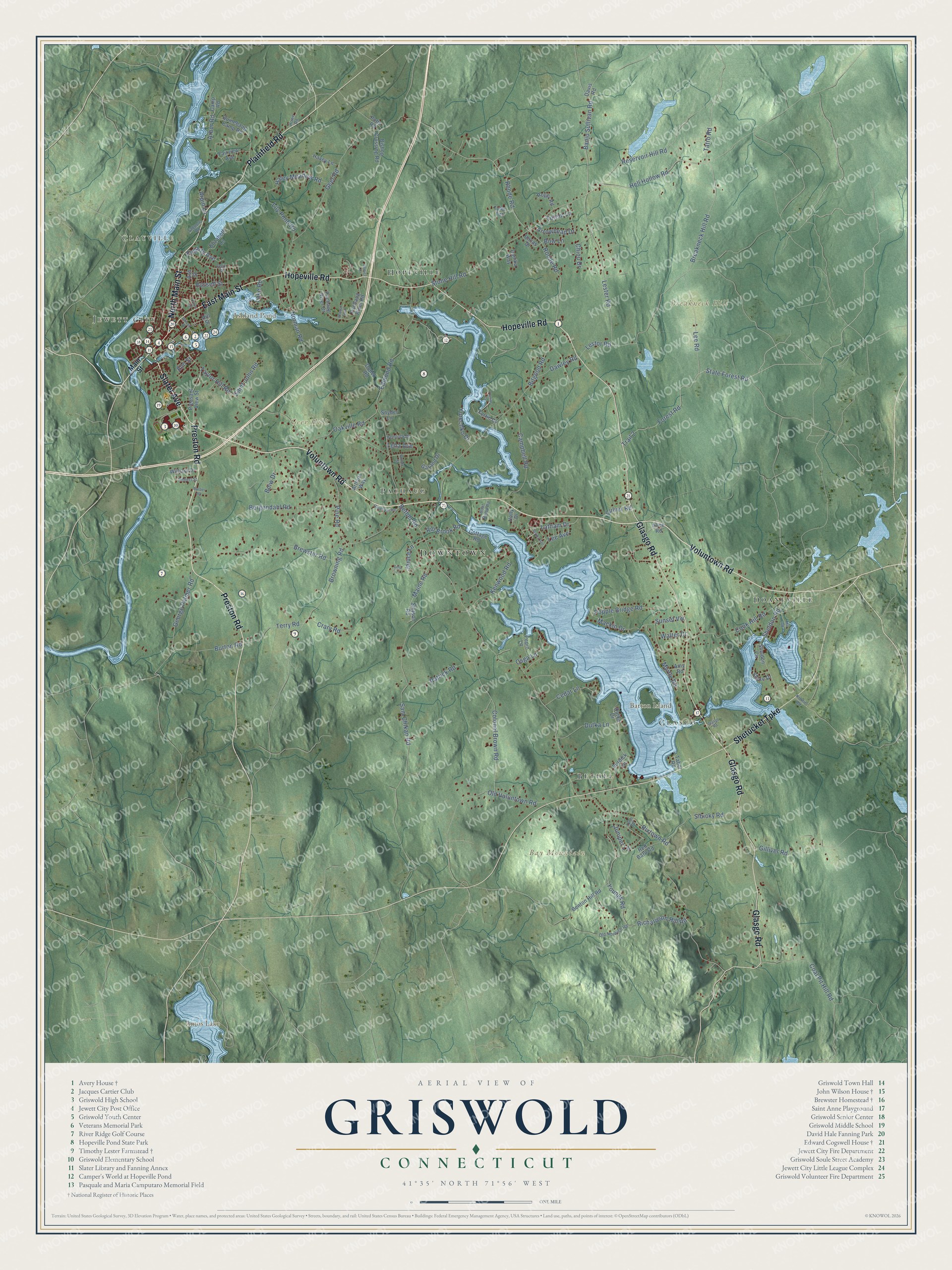
Click to explore a larger preview. The digital watermark does not appear on printed maps.
Names on this map
These names are printed on this map.
Places: Downtown, Clayville, Jewett City, Barton Island, Bay Mountain, Breakneck Hill, Geer Hill, Amos Lake, Ashland Pond, Doaneville, Hopeville, Bethel, Pachaug and Glasgo.
Streets and roads: Voluntown Road, Slater Avenue, Preston Road, North Main Street, Plainfield Road, Hopeville Road, Glasgo Road, Shetucket Turnpike, East Main Street, Tatro Road, Banjo Sullivan Road, Hell Hollow Road.
More street names, A to Z
Alice Road, Alvina Avenue, Amy Road, Arbor Road, Arpin Lane, Arrowhead Drive, Arthurs Way, Ash Street, Barber Road, Benton Hill Road, Bergendahl Road, Bethel Road, Bishop Crossing Road, Bitgood Road, Bmw Drive, Boat Ramp Road, Bonnie Street, Bow Lane, Breakneck Hill Road, Brewster Road, Browning Road, Burdick Lane, Burton Road, Campbell Road, Camp Road, Cedar Lane, Chiou Drive, Coal Pit Hill Road, Colonel Brown Road, Cook Hill Road, Cottage Road, Crary Road, Culver Road, Danika Way, Davis Road, Dawley Road, Dina Lane, Dudek Road, Dutka Drive, Dutka Lane, Edmond Road, Elizabeth Lane, Elm Street, Fairview Avenue, Faust Street, Felix Street, Fogarty Avenue, Forest Road, Fortin Cv, Fortins Cv, Garand Drive, Geer Road, George Palmer Road, Gilliver Road, Goldstein Road, Haley Meadow Road, Havey Lane, Hemlock Drive, Hill Street, Holly Drive, Howe Road, Ilewicz Drive, Janice Lane, Juniper Lane, Kenwood Road, Kinnie Road, Lake Road, Latham Drive, Lee Avenue, Lee Road, Leha Avenue, Lester Road, Lestor Road, Lily Pond Road, Lynn Drive, Mackin Drive, Maine Road, Main Street, Mill Road, Myrtle Road, Norman Road, Oakville Road, Old Norwich Road, Old Voluntown Road, Osga Lane, Pachaug River Drive, Pachaug River Road, Patrick Road, Pepin Lane, Pequot Trail, Pine Road, Pleasant View Street, Popple Bridge Road, Potts Road, Quinebaug Camp Road, Red Barn Road, Reservoir Hill Road, Rhode Road, Richardson Hill Road, Rill Brook Road, Rixtown Road, Robert Street, Roger Road, Roode Road, Russell Street, Saint John Road, Sam Chikan Road, Sheldon Circle, Sheldon Road, Shore Drive, Sibicky Road, Snyder Lane, State Forest Road, Stetson Road, Stone Hill Road, Sunset Vw, Tabor Road, Tadpole Road, Taylor Hill Road, Terry Road, Totem Lane, Trail 2, Tyler Terrace, Uncas Drive, Walter Drive, William Drive, Wilson Street, Youngs Road, Yurechko Drive.
This beautifully detailed map of Griswold makes an attractive addition to your office, library, or den, and it can even be used to teach children the geography and history of the area. It also makes a great gift for anyone who grew up in Griswold or moved away. When you’re done exploring, click here to get your copy of the Griswold map.