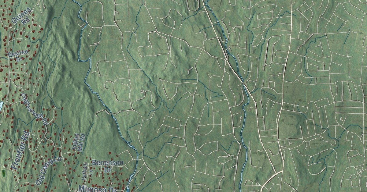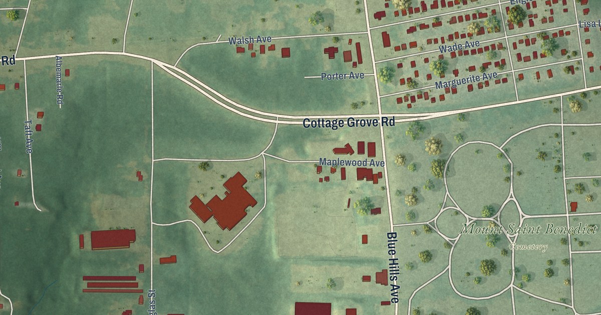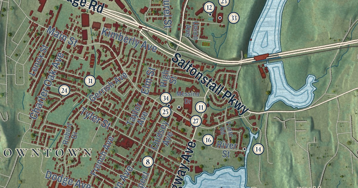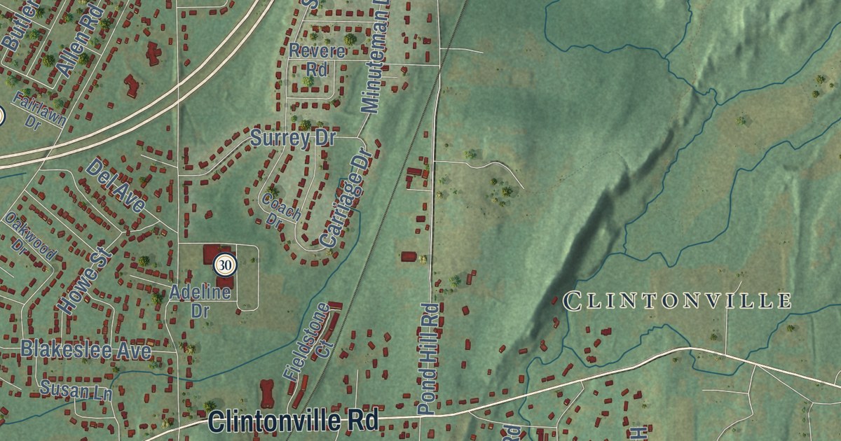
This beautifully detailed map of North Haven, Connecticut was created in 2026 using aerial imagery combined with modern topographical, census, street and landmark data. It’s a one-of-a-kind view of North Haven that combines accurate data with a vintage aesthetic. The map shows every building in its true location, many of the roads carry their names, and the shaded topographic relief shows the shape of the land.
See it on a wall
The North Haven map as an 18 x 24 inch print in a black frame.

Explore an aerial view of North Haven, Connecticut
On the map you’ll find Downtown, Augerville, North Hill, Rabbit Rock, Sackett Point, Axle Shop Pond, Bruces Ice Pond, Peter’s Rock Park, Clintonville, Millbrook, and Montowese, along with State Street, and more. If you look closely you can even find your house accurately drawn in its correct location. Zoom in on the preview to look for yours. Click here to learn more about the history of North Haven.
Take a closer look at the North Haven map
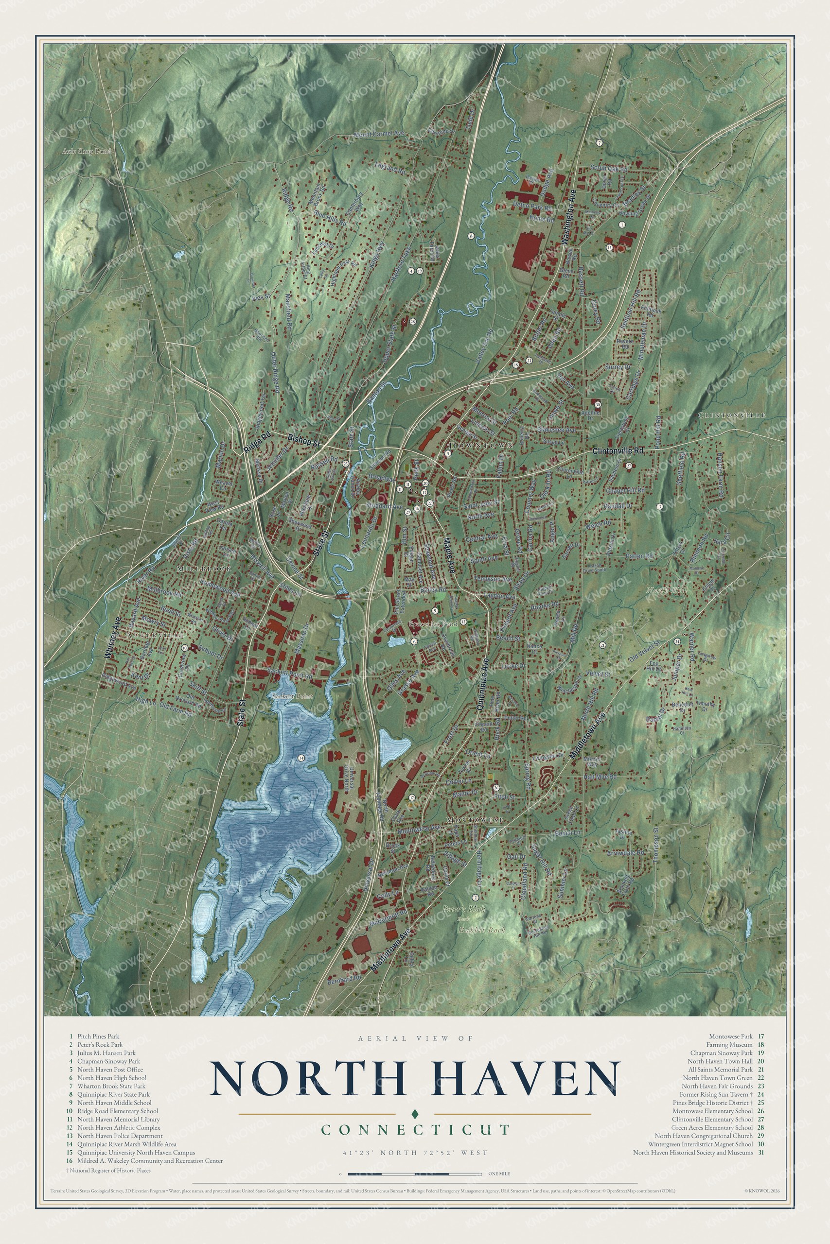
Click to explore a larger preview. The digital watermark does not appear on printed maps.
Names on this map
These names are printed on this map.
Places: Downtown, Augerville, North Hill, Rabbit Rock, Sackett Point, Axle Shop Pond, Bruces Ice Pond, Peter's Rock Park, Clintonville, Millbrook and Montowese.
Streets and roads: State Street, Maple Avenue, Bishop Street, Ridge Road, Washington Avenue, Middletown Avenue, Clintonville Road, Quinnipiac Avenue, Whitney Avenue, Outer Ridge Road, Thompson Street, Grasso Avenue.
More street names, A to Z
Adeline Drive, Allendale Drive, Allen Road, Angel Place, Ansonia Drive, Anthony Road, Arrowdale Road, Avalon Haven Drive, Bailey Road, Banton Street, Barnett Drive, Barton Drive, Bassett Road, Bayard Avenue, Beach Lane, Beach Street, Belvedere Road, Benedict Drive, Bernhard Road, Blakeslee Avenue, Blue Hills Road, Bowen Road, Bowling Green Drive, Bradley Street, Brewster Lane, Broadway, Brockett Farm Road, Brock Street, Buell Street, Butler Road, Canterbury Way, Carafa Terrace, Carina Road, Carolyn Court, Carriage Drive, Cella Terrace, Centerbrook Road, Central Avenue, Chapel Hill Road, Christine Drive, Clark Avenue, Clintonville Lane, Cloudland Road, Coach Drive, Cody Lane, Corey Road, Corporate Drive, Cottontail Lane, Country Way, Coventry Circle, Crestview Drive, Culver Lane, Curtis Court, Daniel Drive, Debra Lane, Deer Run Lane, Defco Park Road, Del Avenue, Devine Street, Dixwell Avenue, Dodge Avenue, Don Mar Court, Dover Road, Drazen Drive, Drazen Drive South, Dwight Street, Edison Drive, Elizabeth Terrace, Elm Street, Elm Street Extended, Ezra Street, Fairlawn Drive, Fallon Drive, Fieldstone Court, Fitch Street, Flintlock Road, Forest Avenue, Fortune Drive, Fox Hill Drive, Frost Drive, Gail Drive, Garfield Avenue, George Street, Giles Avenue, Glenn Road, Goodsell Road, Green Field Lane, Green Hill Road, Grove Road, Half Mile Road, Hamilton Court, Hansen Farm Road, Hartford Turnpike, Helen Drive, Hermitage Lane, Hidden Pond Drive, Highland Park Road, High Lane, Hilltop Terrace, Homewood Avenue, Horseshoe Hill Road, Howe Street, Ives Street, Janet Drive, Jansen Lane, Jennifer Drive, Jones Farm Road, Judd Drive, Juniper Drive, Justine Drive, Katie Lane, Kent Drive, Kimberly Circle, King Arthur Court, Kings Highway, Knight Lane, Lancelot Drive, Laura Lane, Lawncrest Drive, Laydon Avenue, Legrand Road, Leonardo Drive, Lincoln Street, Livingston Drive, Locke Drive, Longview Drive, Lynn Terrace, Manor Drive, Mansfield Road, Marion Drive, Marlen Drive, Massimo Drive, May Street, McArthur Road, McDermott Road, Melillo Circle, Melissa Drive, Mikeys Way, Millbrook Road, Mill Road, Minuteman Drive, Mohawk Drive, Monroe Street, Montowese Avenue, Mountain Brook Road, Mount Carmel Avenue, Mowry Street, Nettleton Avenue, North Avenue, North Frontage Road, North Hill Road, Northside Road, Nume Road, Oakwood Drive, Old Farm Road, Old Kiln Road, Old Orchard Road, Old Velvet Street, Oliver Drive, Orient Lane, Overbrook Road, Palmer Road, Palmieri Place, Papa Lane, Patten Road, Peck Street, Pequot Avenue, Peters Lane, Pierpont Court, Pine River Road, Pond Hill Road, Pool Road, Potter Road, Rance Court, Randall Drive, Renee Lane, Revere Road, Ridgewood Avenue, Ridgewood Terrace, Rimmon Road, River Road, Roarke Road, Roberta Road, Rock Road, Rose Lane, Russell Road, Sachem Drive, Sackett Point Road, Saint John Street, Samoset Avenue, Sara Circle, School Drive, School Lane, Scrub Oak Road, Sentinel Hill Road, Shaw Drive, Shawmut Avenue, Sheffield Road, Sherman Terrace, Sherwood Drive, Skiff Street, Sonne Drive, South Avenue, Spring Road, Stiles Lane, Stillman Road, Stoddard Avenue, Sugar Hill Road, Summer Lane, Surrey Drive, Susan Lane, Temple Street, Tennyson Avenue, Tillert Court, Timothy Drive, Todd Drive, Turner Drive, Universal Drive, Universal Drive North, Upper State Street, Valley Brook Lane, Valley Svc Road, Van Rose Drive, Velvet Street, Victor Road, Village Street, Vincent Road, Virginia Road, Vista Road, Warner Road, Weaver Circle, Welch Road, West View Road, Winchester Drive, Windsor Road, Windsor Road East.
This beautifully detailed map of North Haven makes an attractive addition to your office, library, or den, and it can even be used to teach children the geography and history of the area. It also makes a great gift for anyone who grew up in North Haven or moved away. When you’re done exploring, click here to get your copy of the North Haven map.