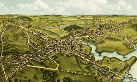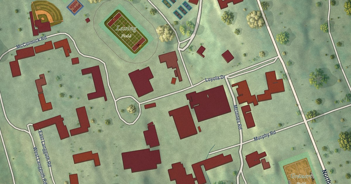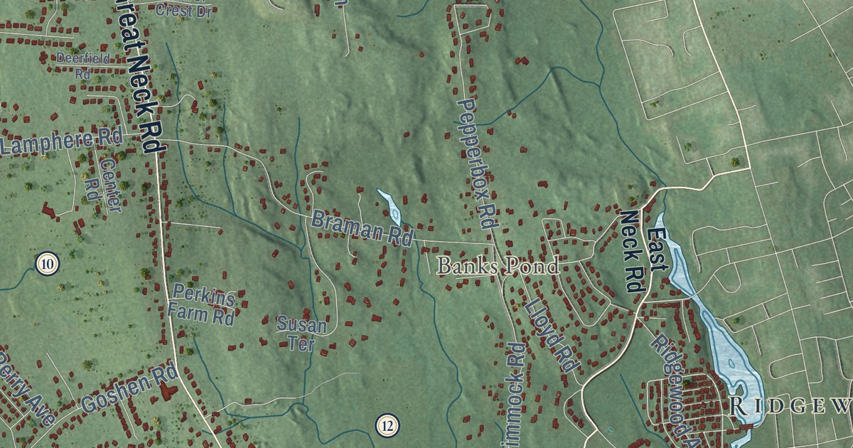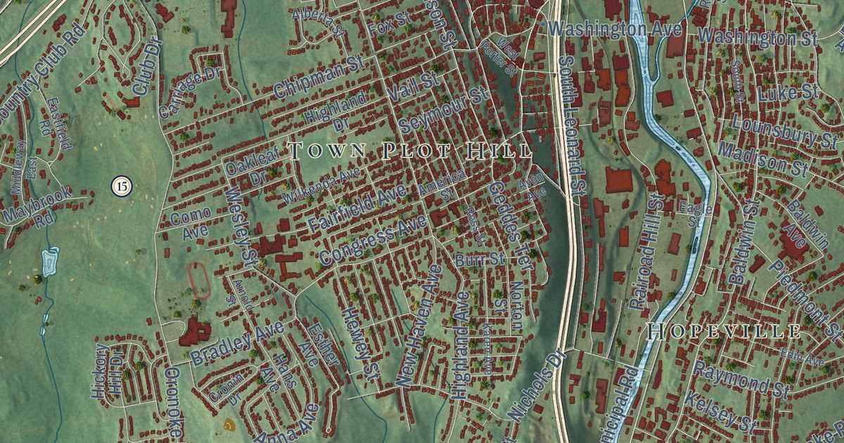
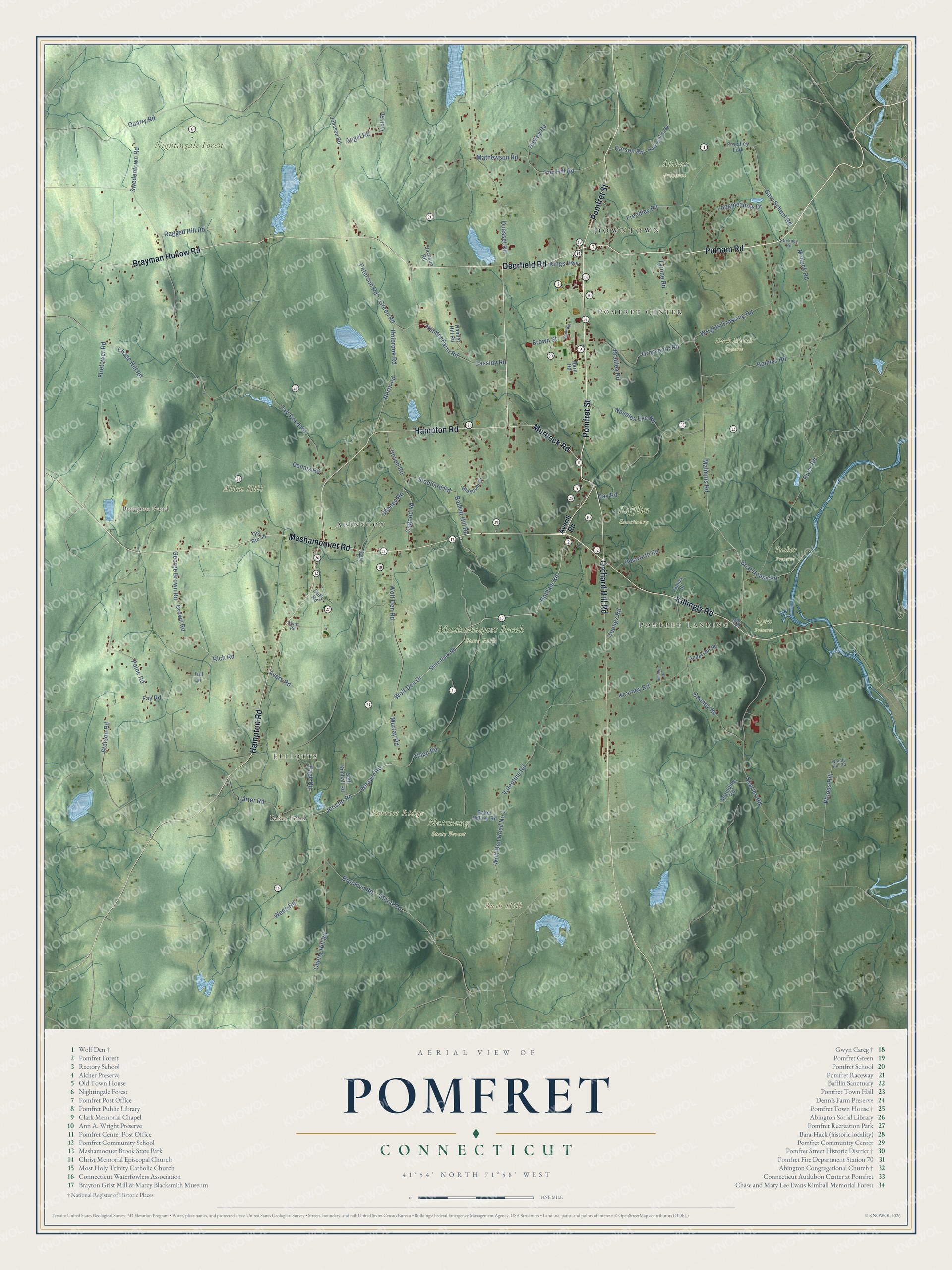
This beautifully detailed map of Pomfret, Connecticut was created in 2026 using aerial imagery combined with modern topographical, census, street and landmark data. It’s a one-of-a-kind view of Pomfret that combines accurate data with a vintage aesthetic. The map shows every building in its true location, many of the roads carry their names, and the shaded topographic relief shows the shape of the land.
See it on a wall
The Pomfret map as an 18 x 24 inch print in a black frame.

Explore an aerial view of Pomfret, Connecticut
On the map you’ll find Downtown, Pomfret Landing, Elliotts, Pomfret Center, Allen Hill, Barrett Ridge, Bush Hill, Baker Pond, Beaupres Pond, Aicher Preserve, Bafflin Sanctuary, Duck Marsh Preserve, and more. If you look closely you can even find your house accurately drawn in its correct location. Zoom in on the preview to look for yours. Click here to learn more about the history of Pomfret.
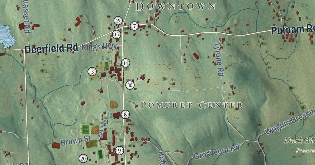
Take a closer look at the Pomfret map
Click to explore a larger preview. The digital watermark does not appear on printed maps.
Names on this map
These names are printed on this map.
Places: Downtown, Pomfret Landing, Elliotts, Pomfret Center, Allen Hill, Barrett Ridge, Bush Hill, Baker Pond, Beaupres Pond, Aicher Preserve, Bafflin Sanctuary, Duck Marsh Preserve, Lyon Preserve, Mashamoquet Brook State Park, Natchaug State Forest, Nightingale Forest, Tucker Preserve and Abington.
Streets and roads: Mashamoquet Road, Putnam Road, Deerfield Road, Orchard Hill Road, Pomfret Street, Killingly Road, Hampton Road, Brayman Hollow Road, Murdock Road, Wolf Den Drive, Jericho Road, Weaver Road.
More street names, A to Z
Amberg Drive, Anderson Road, Angel Road, Averill Road, Ayers Road, Babbitt Hill Road, Baker Hollow Road, Barn Road, Blossom Drive, Boat House Road, Bosworth Road, Botham Road, Bradley Road, Brooklyn Road, Brown Street, Carson Road, Carter Road, Cassidy Road, Chase Hill Road, Cheney Road, Cherry Hill Road, Clapp Road, Clinic Road, Cooney Road, Covell Road, Day Road, Dennis Road, Drown Road, Duffy Road, Elliott Road, Fay Road, Firetower Road, Fox Hill Road, Freedley Fork, Freedley Road, Gary School Road, George Brown Road, Green Road, Grosvenor Road, Hamlet Farm Road, Hamlet Hill Road, Harrisville Road, Hickey Road, Holbrook Road, Holmes Road, Jackson Road, James Street, Johnson Road, Kearney Road, Kings Highway, Krazy Lane, Longmeadow Drive, Malinnis Road, Mallory Street, Mathewson Road, Mill Road, Modock Road, Murray Road, Needles Eye Road, North Road, Old Route 44, Osgood Road, Page Road, Paine Road, Peterson Road, Quarry Road, Quasset Road, Ragged Hill Road, Rich Road, River Road, Searles Road, Seth Kimball Road, Spaulding Road, State Park Road, Stetson Road, Stickney Road, Stoddard Road, Swedentown Road, Taft Pond Road, Tull Lane, Tyott Road, Tyrone Road, Valentine Road, Wade Road, Wolf Den Road, Wolf Den Road No 1, Woods Hill, Woods Hill Road, Wrights Crossing Road, Youngs Road.
This beautifully detailed map of Pomfret makes an attractive addition to your office, library, or den, and it can even be used to teach children the geography and history of the area. It also makes a great gift for someone who left Pomfret and still calls it home. When you’re done exploring, click here to get your copy of the Pomfret map.