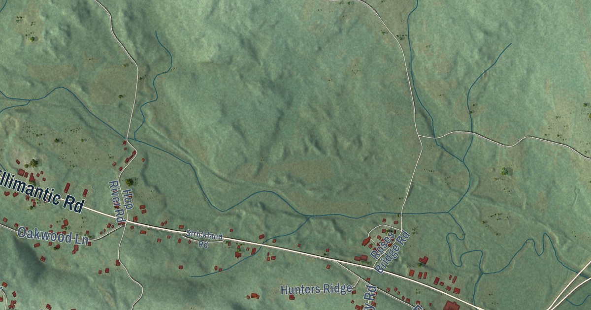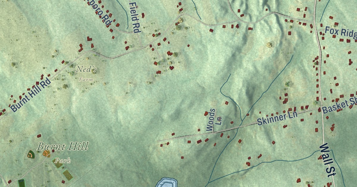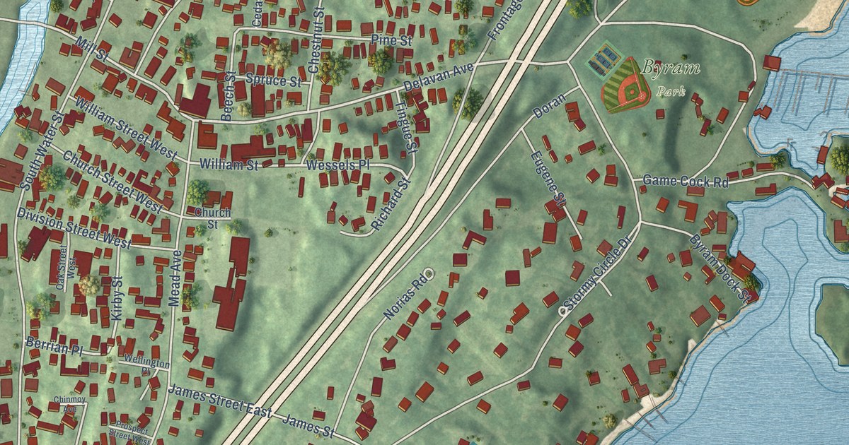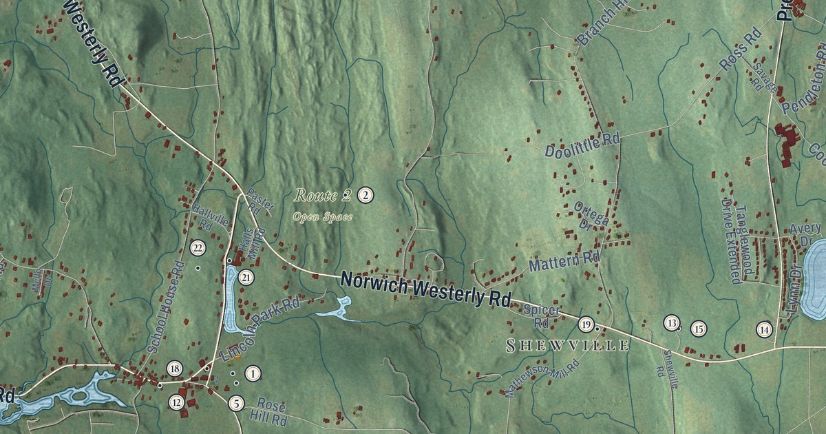
This beautifully detailed map of Preston, Connecticut was created in 2026 using aerial imagery combined with modern topographical, census, street and landmark data. It’s a one-of-a-kind view of Preston that combines accurate data with a vintage aesthetic. The map shows every building in its true location, many of the roads carry their names, and the shaded topographic relief shows the shape of the land.
See it on a wall
The Preston map as an 18 x 24 inch print in a black frame.

Explore an aerial view of Preston, Connecticut
On the map you’ll find Downtown, Happyland, Avery Hill, Ayer Hill, Barns Hill, Bay Mountain, Amos Lake, Avery Pond, and Shewville, along with Route 2 Open Space, Military Highway, and more. If you look closely you can even find your house accurately drawn in its correct location. Zoom in on the preview to look for yours. Click here to learn more about the history of Preston.
Take a closer look at the Preston map
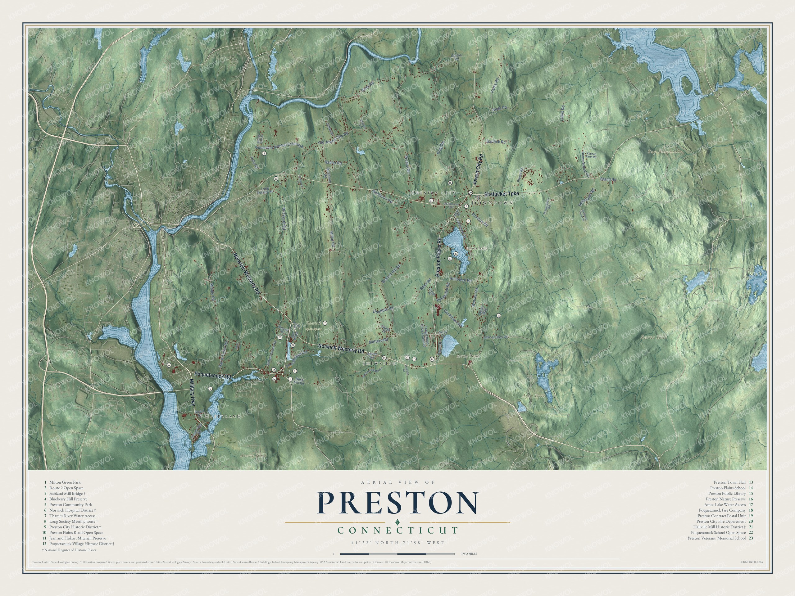
Click to explore a larger preview. The digital watermark does not appear on printed maps.
Names on this map
These names are printed on this map.
Places: Downtown, Happyland, Avery Hill, Ayer Hill, Barns Hill, Bay Mountain, Amos Lake, Avery Pond, Route 2 Open Space, Shewville and Preston City.
Streets and roads: Military Highway, Norwich-Westerly Road, Norwich Westerly Road, Shetucket Turnpike, Preston Plains Road, Jewett City Road, Poquetanuck Road, Old Jewett City Road, Miller Road, Krug Road, Middle Road, Brickyard Road.
More street names, A to Z
Amos Road, Avery Drive, Benjamin Road, Branch Hill Road, Brand Road, Brown School Road, Burdick Road, Burton Road, Cedarcrest Drive, Cooktown Road, Doolittle Road, Drawbridge Road, Halls Mill Road, Hallville Road, Harris Fuller Road, Hollowell Road, Julian Drive, Kimball Farm Road, Lake of Isles Road, Lakeview Drive, Lewis Road, Lincoln Park Road, Long Society Road, Lynn Drive, Mains Way, Mathewson Mill Road, Mattern Road, McClimon Road, Mello Drive, Niewarowski Road, Northwest Corner Road, Old Shetucket Turnpike, Ortega Drive, Parks Road, Paster Road, Pendleton Road, Pierce Road, Polly Road, Preston Road, Prodell Road, Radler Road, River Road, Roosevelt Avenue Extended, Rose Hill Road, Ross Road, Rude Road, Savage Road, School House Road, Shewville Road, Spicer Road, Stanton Lane, Stuart Drive, Swantown Road, Tanglewood Drive Extended, Tyler Drive, Watson Road, Wheeler Farm Road.
This beautifully detailed map of Preston makes an attractive addition to your office, library, or den, and it can even be used to teach children the geography and history of the area. It also makes a great gift for anyone with Preston roots. When you’re done exploring, click here to get your copy of the Preston map.