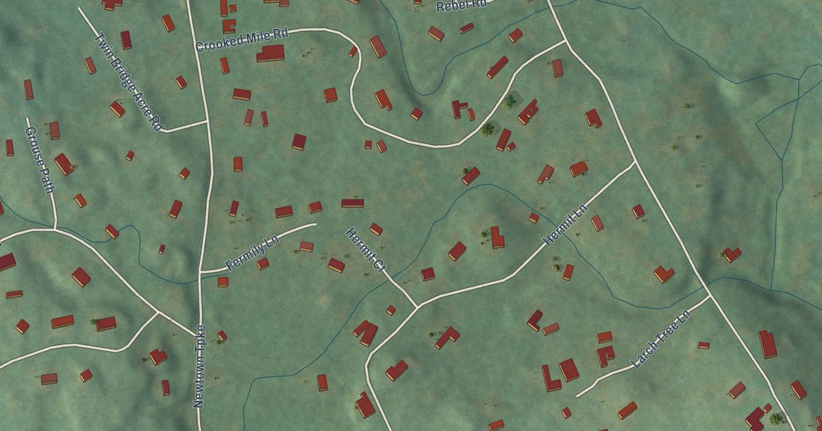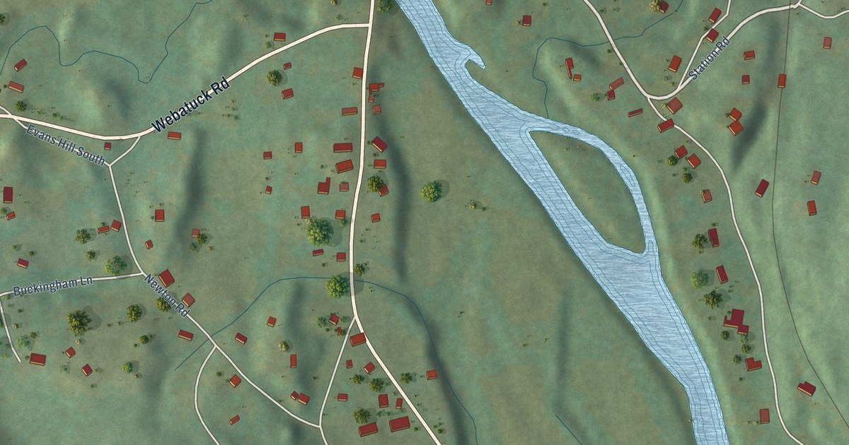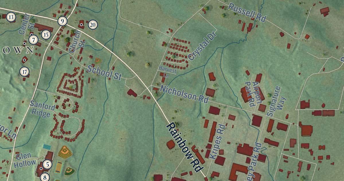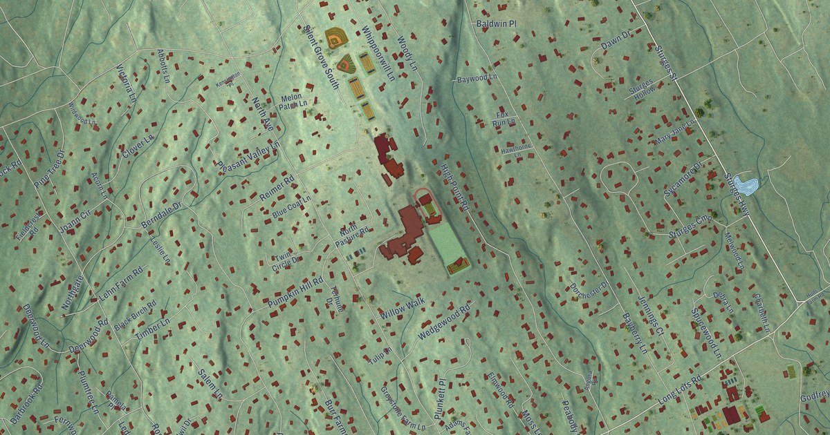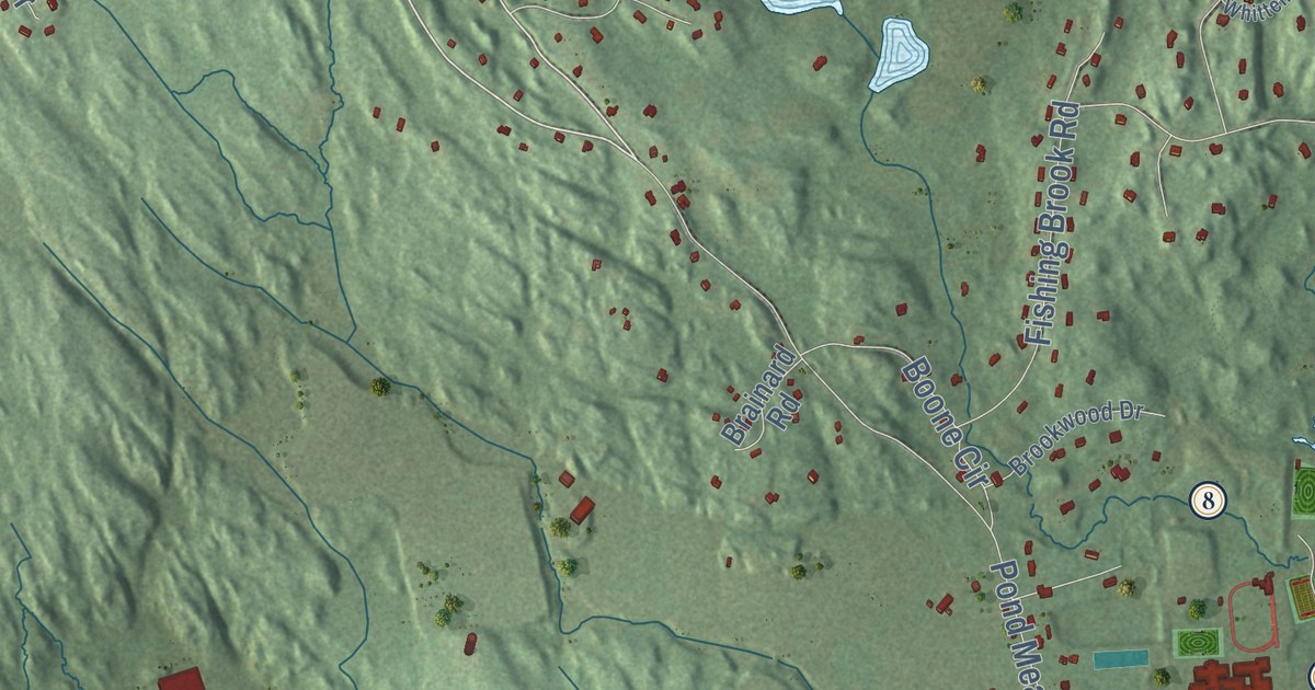
This beautifully detailed map of Westbrook, Connecticut was created in 2026 using aerial imagery combined with modern topographical, census, street and landmark data. It’s a one-of-a-kind view of Westbrook that combines accurate data with a vintage aesthetic. The map shows every building in its true location, many of the roads carry their names, and the shaded topographic relief shows the shape of the land.
See it on a wall
The Westbrook map as an 18 x 24 inch print in a black frame.

Explore an aerial view of Westbrook, Connecticut
On the map you’ll find Downtown, Duck Island, Great Rocks, Grove Beach Point, Hawks Nest, Birch Millpond, Chapmans Pond, Cockaponset State Forest, Horse Hill Woods Open Space, Pond Meadow, and Grove Beach, along with Horse Hill Road, and more. If you look closely you can even find your house accurately drawn in its correct location. Zoom in on the preview to look for yours. Click here to learn more about the history of Westbrook.
Take a closer look at the Westbrook map
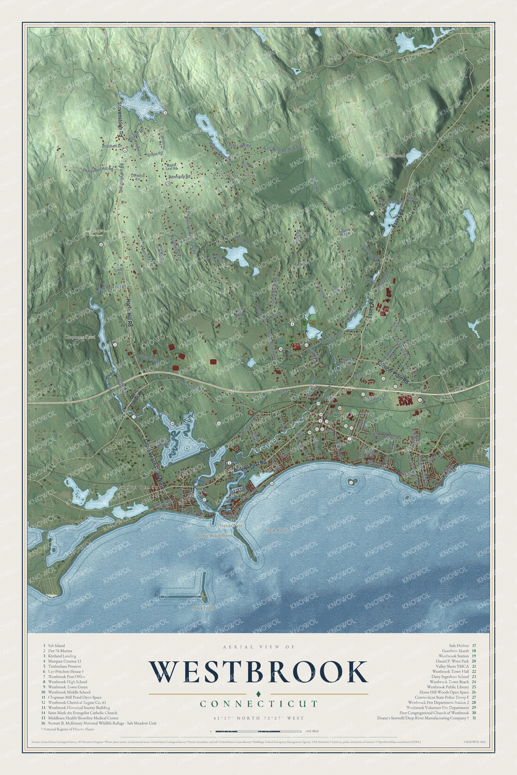
Click to explore a larger preview. The digital watermark does not appear on printed maps.
Names on this map
These names are printed on this map.
Places: Downtown, Duck Island, Great Rocks, Grove Beach Point, Hawks Nest, Birch Millpond, Chapmans Pond, Cockaponset State Forest, Horse Hill Woods Open Space, Pond Meadow and Grove Beach.
Streets and roads: Horse Hill Road, Grove Beach Road North, Essex Road, Boston Post Road, Stevenstown Road, Spencer Plain Road, East Pond Meadow Road, West Pond Meadow Road, Cross Road, Old Clinton Road, Toby Hill Road, Willard Avenue.
More street names, A to Z
Acorn Drive, Anthony Lane, Autumn Ridge, Beech Tree Lane, Boone Circle, Brainard Road, Break Neck Hill Road, Brittney Lane, Brookwood Drive, Bushnell Lane, Captains Drive, Cedar Lane, Chapman Avenue, Chapman Mill Pond Road, Chittenden Hill Road, Christina Lane, Cold Spring Drive, Cold Spring Road, Dennison Road, Docs Hill Road, Edgewood Drive, Fairview Road, Farm Lane, Fawn Hill Drive, Fishing Brook Road, Fiske Lane, Flat Rock Place, Green Acres Park Drive, Green Meadow Drive, Grove Beach Road South, Halls Road, Hammock Road, Horse Shoe Drive, Hunters Ridge Drive, Indian Trail, Johnson Pond Lane, Kenrose Terrace, Kingfisher Lane, Knothe Hill Road, Knothe Lane, Little Stannard Beach Road, Malabar Drive, Maple Leaf Road, McVeagh Road, Meadow Lark Lane, Meadow Lark Lane Extended, Meadow Point Road, Meeting House Lane, Norris Road, Old Forge Road, Old Horse Hill Road, Old Kelsey Point Road, Old Mail Trail, Old Salt Works Road, Ortner Drive, Osprey Circle, Pequot Park Road, Perigee Lane, Peters Trail, Pettipaug Road, Pine Lake Road, Plymouth Road, Pointina Road, Pond Meadow Road, Post Avenue, Pritchett Drive, Rintoul Pond Road, Riverview Road, Sagamore Terrace East, Sagamore Terrace Road, Salt Island Road, Seaside Avenue, Second Avenue, South Main Street, Stone Hedge Road, Timberlane Drive, Trolley Road, Waldron Drive, Wesley Avenue, Whittemore Place, Windy Hill Road, Winterberry Circle, Winthrop Road, Wrights Pond Road.
This beautifully detailed map of Westbrook makes an attractive addition to your office, library, or den, and it can even be used to teach children the geography and history of the area. It also makes a great gift for anyone with Westbrook roots. When you’re done exploring, click here to get your copy of the Westbrook map.