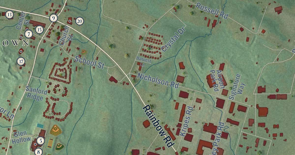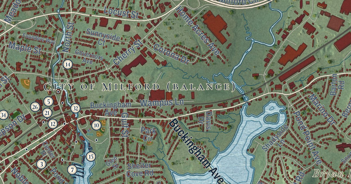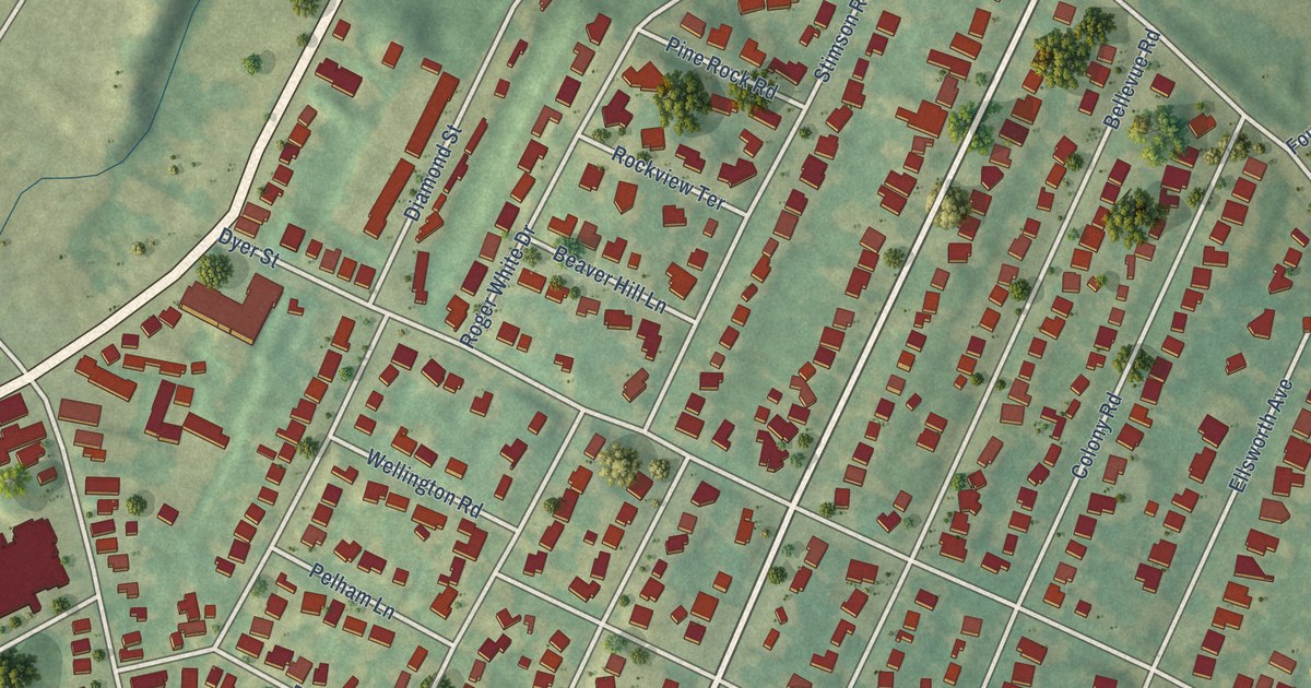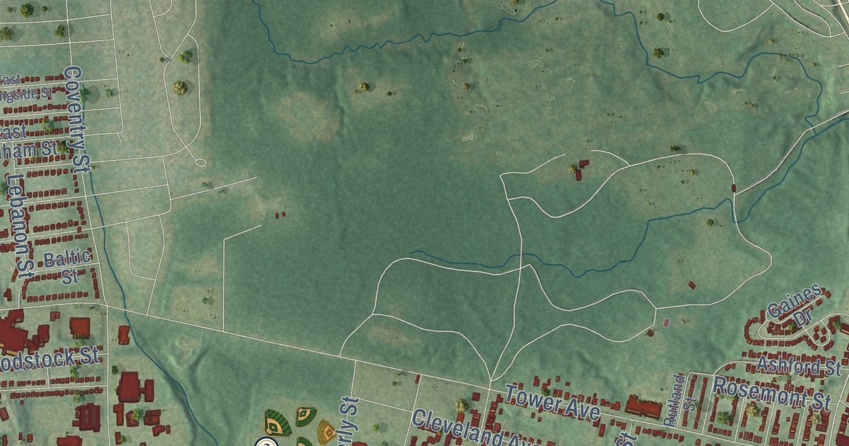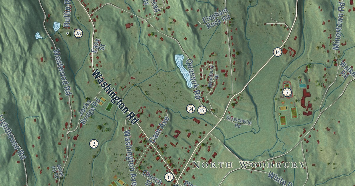
This beautifully detailed map of Woodbury, Connecticut was created in 2026 using aerial imagery combined with modern topographical, census, street and landmark data. It’s a one-of-a-kind view of Woodbury that combines accurate data with a vintage aesthetic. The map shows every building in its true location, many of the roads carry their names, and the shaded topographic relief shows the shape of the land.
See it on a wall
The Woodbury map as an 18 x 24 inch print in a black frame.

Explore an aerial view of Woodbury, Connecticut
On the map you’ll find Downtown, Pomeraug, Minortown, Hotchkissville, North Woodbury, Bear Hill, Blackmans Hill, Brushy Hill, Caleb Hill, Avalon Farm Pond, Bacon Pond, Baldrige Farm, and more. If you look closely you can even find your house accurately drawn in its correct location. Zoom in on the preview to look for yours. Click here to learn more about the history of Woodbury.
Take a closer look at the Woodbury map
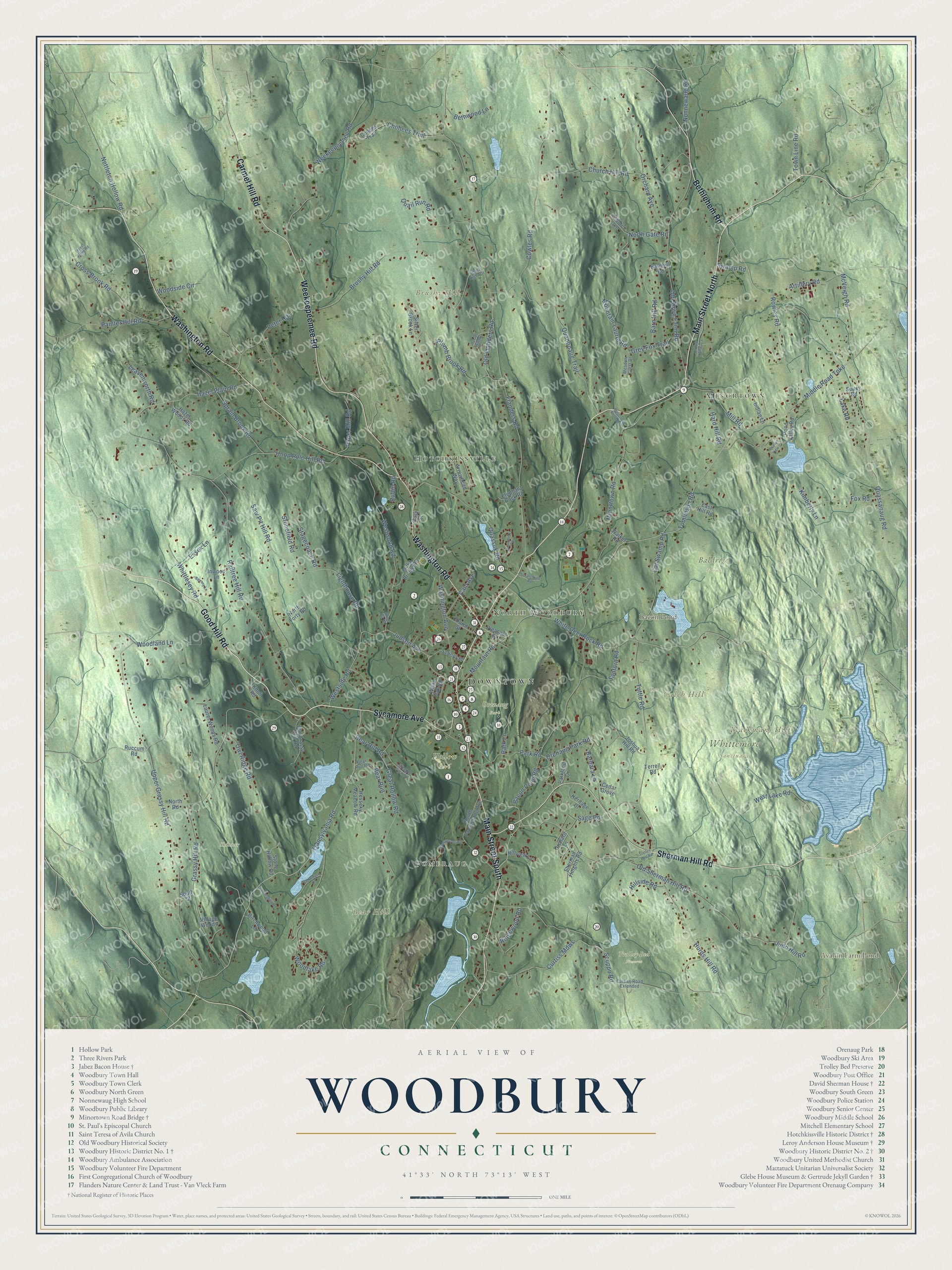
Click to explore a larger preview. The digital watermark does not appear on printed maps.
Names on this map
These names are printed on this map.
Places: Downtown, Pomeraug, Minortown, Hotchkissville, North Woodbury, Bear Hill, Blackmans Hill, Brushy Hill, Caleb Hill, Avalon Farm Pond, Bacon Pond, Baldrige Farm, Cox, Hollow Park, Orenaug Park, Skinner, Trolley Bed Preserve and Whittemore Sanctuary.
Streets and roads: Good Hill Road, Main Street North, Main Street South, Bethlehem Road, Washington Road, Sherman Hill Road, Weekeepeemee Road, Carmel Hill Road, Sycamore Avenue, Transylvania Road, Church Hill Road, Cowles Road.
More street names, A to Z
Arrowhead Way, Artillery Road, Bacon Pond Road, Barbara Lane, Barn Hill Road, Barnhill Road, Bear Hill Road, Bear Run, Bear Run Road, Beaver View Court, Bethwood Lane, Birchwood Lane, Brushy Hill Road, Cam Avenue, Cat Swamp Road, Cedar Grove, Chohees Trail, Church Street, Clubhouse Drive, Coach Light Drive, Cohees Trail, Cross Brook Road, Curtiss Mdws, Curtiss Road Extended, Davids Hill Road, East Hill Road, Easy Street, Elephant Rock Road, Essex Lane, Flanders Road, Forest Ridge Road, Fox Road, Grassy Hill Road, Great Hollow Road, Grey Fox Trail, Hard Hill Road, Hazel Plain Road, Hazel Woods Road, Heritage Drive, Hesseky Meadow Road, Hillside Road, Hillview Lane, Hoop Pole Hill Road, Hurds Hill Road, Indian Lane, Inwood Lane, Jacks Bridge Road, Joshua Hill Road, Judd Hill Road, Judson Avenue, Kimberly Lane, Knoll Road, Lake Road, Laurel Woods Road, Leavenworth Road, Lighthouse Road, McVeigh Road, Meadow Crest Drive, Middle Road Turnpike, Mill Road, Minortown Road, Minortown Road Con, Mountain Laurel Road, Mountain Road, Nettleton Hollow Road, Nonnewaug Road, North Forty Road, North Gate Road, North Road, Old Flanders Road, Old Grassy Hill Road, Old Meadow Road, Old Sherman Hill Road, Old Town Farm Road, Old US Highway 6, Orchard Avenue, Orchard Lane, Orenaug Park Road, Owl Ridge Road, Painter Hill Road, Paper Mill Road, Parkland Drive, Park Lane, Park Road, Peter Road, Pleasant Street, Plumb Brook Road, Pomperaug Road, Pond Valley Road, Quail Run Road, Quanopaug Trail, Quassapaug Road, Quassuk Road, Railtree Hill Road, Ridgewood Road, Rowley Road, Ruccum Road, Ruffin Road, Sage Road, Sanford Road, Saw Pit Hill Road, Saxony Lane, School Street, Scratchville Road, Scuppo Road, Sherman Heights Road, Silver Brook Lane, Soucy Road, South Pomperaug Avenue, South Street, Sprain Brook Road, Stagecoach Road, Steeple View Lane, Stonefield Road, Stone Hollow Road, Stone Pit Road, Swamp Road, Terrell Road, Timber Lane, Tomlinson Road, Town Line Road, Trolley Bed Road, Tuttle Road, Upper Grassy Hill Road, Village Woods, Walker Road, Washington Avenue, West Lake Road, Westside Road, Westwood Road, White Deer Rock Road, White Oak Road, Whittlesey Road, Woodbury Hl, Woodlake Road, Woodland Lane, Woodside Circle.
This beautifully detailed map of Woodbury makes an attractive addition to your office, library, or den, and it can even be used to teach children the geography and history of the area. It also makes a great gift for someone who left Woodbury and still calls it home. When you’re done exploring, click here to get your copy of the Woodbury map.