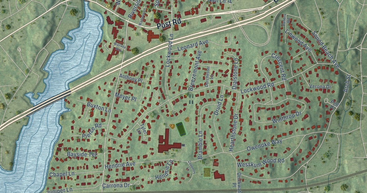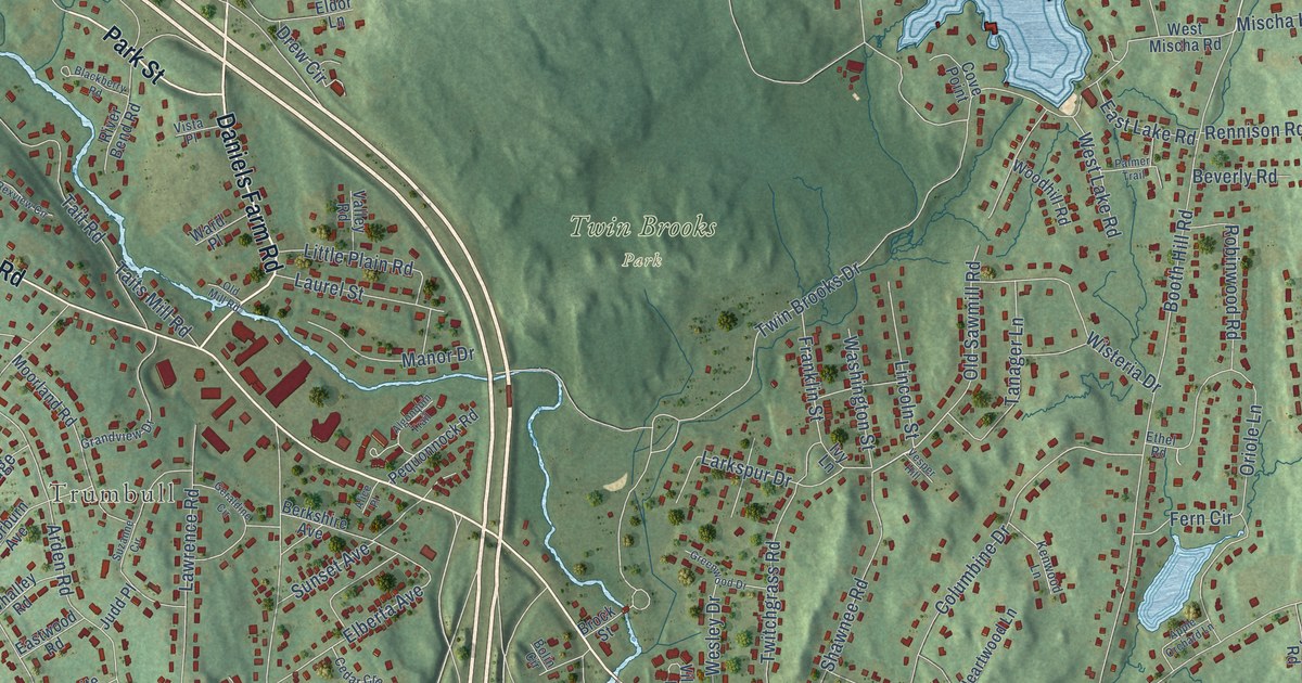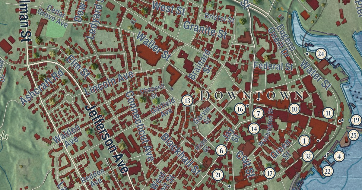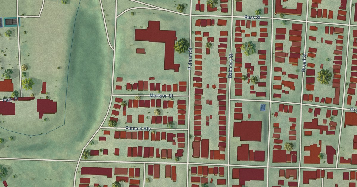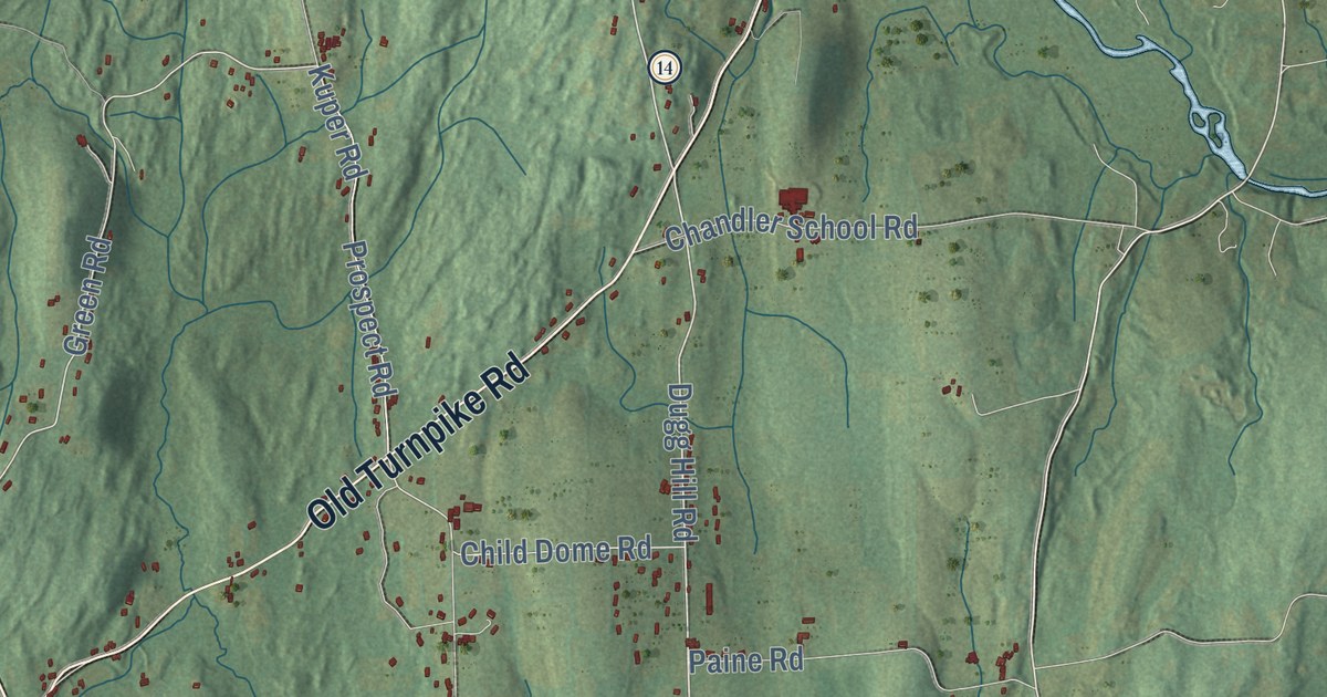
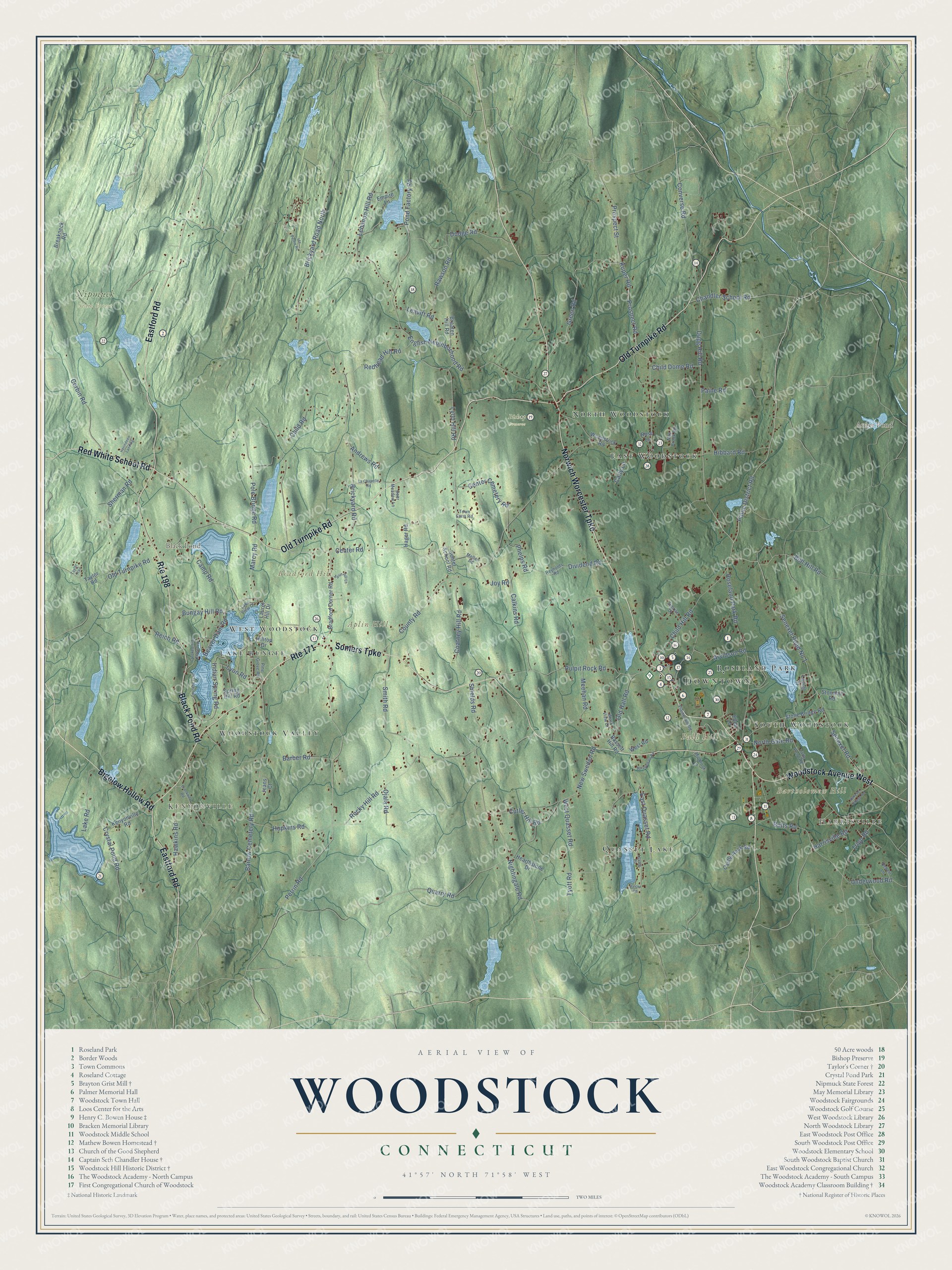
This beautifully detailed map of Woodstock, Connecticut was created in 2026 using aerial imagery combined with modern topographical, census, street and landmark data. It’s a one-of-a-kind view of Woodstock that combines accurate data with a vintage aesthetic. The map shows every building in its true location, many of the roads carry their names, and the shaded topographic relief shows the shape of the land.
See it on a wall
The Woodstock map as an 18 x 24 inch print in a black frame.

Explore an aerial view of Woodstock, Connecticut
On the map you’ll find Downtown, Harrisville, Kenyonville, Aplin Hill, Bald Hill, Bartholomew Hill, Bradford Hill, Auger Pond, Black Pond, Bishop Preserve, Nipmuck State Forest, Quasset Lake, and more. If you look closely you can even find your house accurately drawn in its correct location. Zoom in on the preview to look for yours. Click here to learn more about the history of Woodstock.
Take a closer look at the Woodstock map
Click to explore a larger preview. The digital watermark does not appear on printed maps.
Names on this map
These names are printed on this map.
Places: Downtown, Harrisville, Kenyonville, Aplin Hill, Bald Hill, Bartholomew Hill, Bradford Hill, Auger Pond, Black Pond, Bishop Preserve, Nipmuck State Forest, Quasset Lake, East Woodstock, Roseland Park, Lake Bungee, West Woodstock, Woodstock Valley, North Woodstock and South Woodstock.
Streets and roads: Route 198, Norwich Worcester Turnpike, Old Turnpike Road, Somers Turnpike, Eastford Road, Black Pond Road, Red White School Road, Woodstock Avenue West, Bigelow Hollow Road, Route 171, Dugg Hill Road, Paine District Road.
More street names, A to Z
Andrews Road, Aplin Hill Lane, Arvidson Road, Barber Road, Barlow Cemetery Road, Bassett Hill Road, Baxter Road, Beaver Dam Road, Braaten Hill Road, Bradford Corner Road, Breakneck Road, Brickyard Road, Brickyard Road North, Brockway Road, Bull Hill Road, Bungay Hill Road, Butts Road, Cady Lane, Calkins Road, Camp Road, Castle Rock Road, Center Cemetery Road, Center Road, Center School Road, Chandler School Road, Child Dome Road, Child Hill Road, Child Road, Coatney Hill Road, Converse Road, Corbin Road, County Road, Crooked Trail, Crooked Trail Extended, Crystal Pond Road, Cutler Hill Road, Deer Meadow Lane, Dividend Road, Dodge Road, East Quasset Road, Ellen Lane, Empire Lane, English Neighborhood Road, Green Road, Hager Road, Harrisville Road, Hawkins Road, Hearthstone Drive, Hebert Lane, Herindeen Landing, Hibbard Road, Hilltop Drive, Hopkins Road, Ide Perrin Road, Indian Spring Road, Jeans Court, Joy Road, Kenyonville Road, Kuper Road, La Chapelle Road, Lake Road, Lake View Drive, Laurel Drive, Laurel Hill Drive, Leavitt Road, Lebanon Hill Road, Little Pond Road, Loyola Road, Lyon Hill Road, Lyon Road, Marcy Road, May Brook Road, Meehan Road, Mellen Road, Millbrook Lane, New Sweden Road, Nightingale Road, North Gate Road, Ojala Road, Old Hall Road, Paine Road, Perrin Road, Phelps Road, Pine Grove Road, Plaine Hill Road, Pole Bridge Road, Pond Factory Road, Prospect Road, Prospect Street, Pulpit Rock Road, Quarry Road, Rawson Road, Redhead Hill Road, Reich Road, Reynolds Road, Rocky Hill Road, Roseland Park Road, Rose Lane, Senexet Road, Senexet Road No 1, Senexet Village Road, Sherman Road, Shields Road, Smith Road, Spring Hill Road, Sprucedale Road, Stone Bridge Road, Stonehill Road, Sunrise Drive, Tayler Trail, Taylor Road, Town Farm Road, Tripp Road, Tyott Road, Underwood Road, West Quasset Road, West Road, West View Drive, Woodstock Road.
This beautifully detailed map of Woodstock makes an attractive addition to your office, library, or den, and it can even be used to teach children the geography and history of the area. It also makes a great gift for anyone who grew up in Woodstock or moved away. When you’re done exploring, click here to get your copy of the Woodstock map.