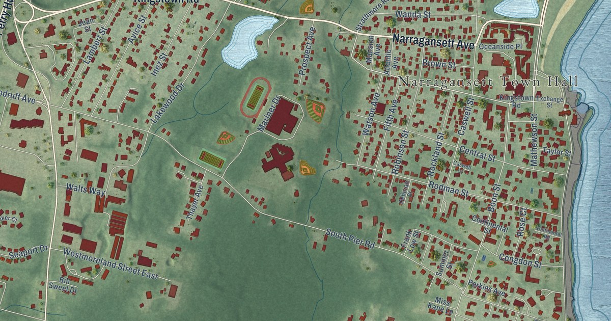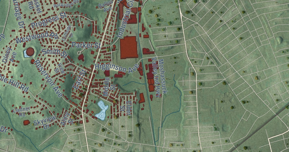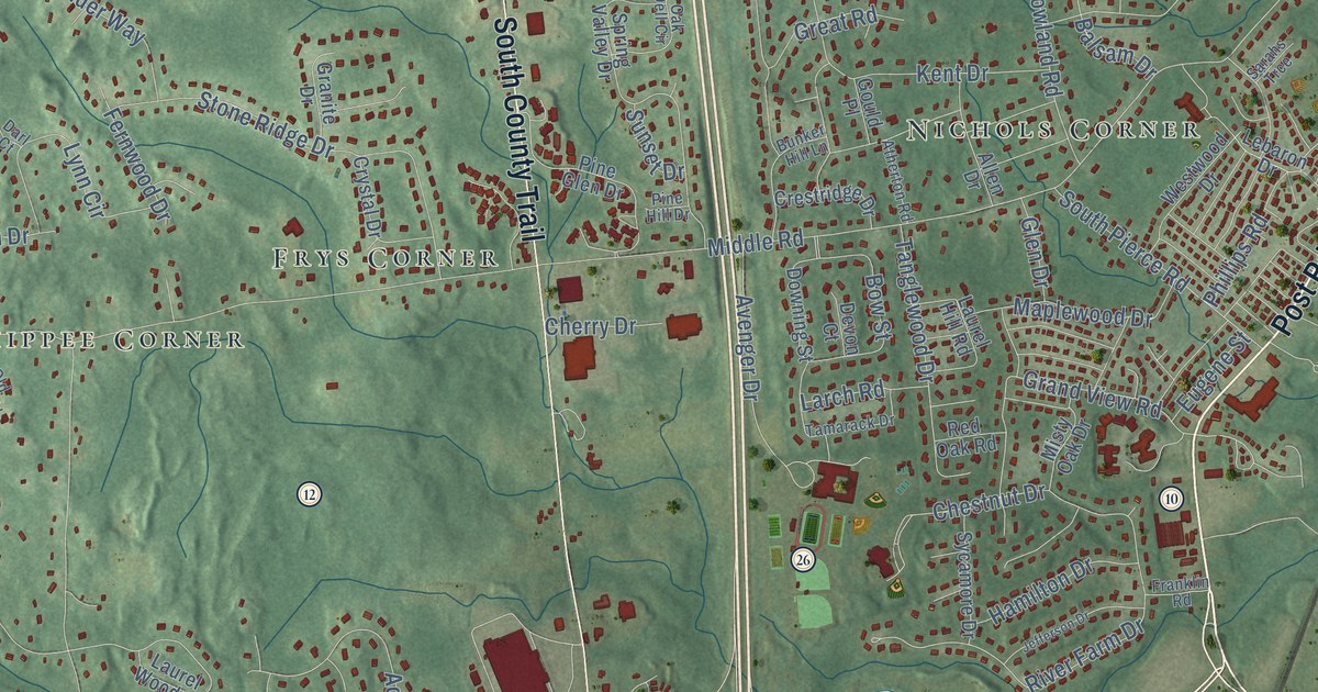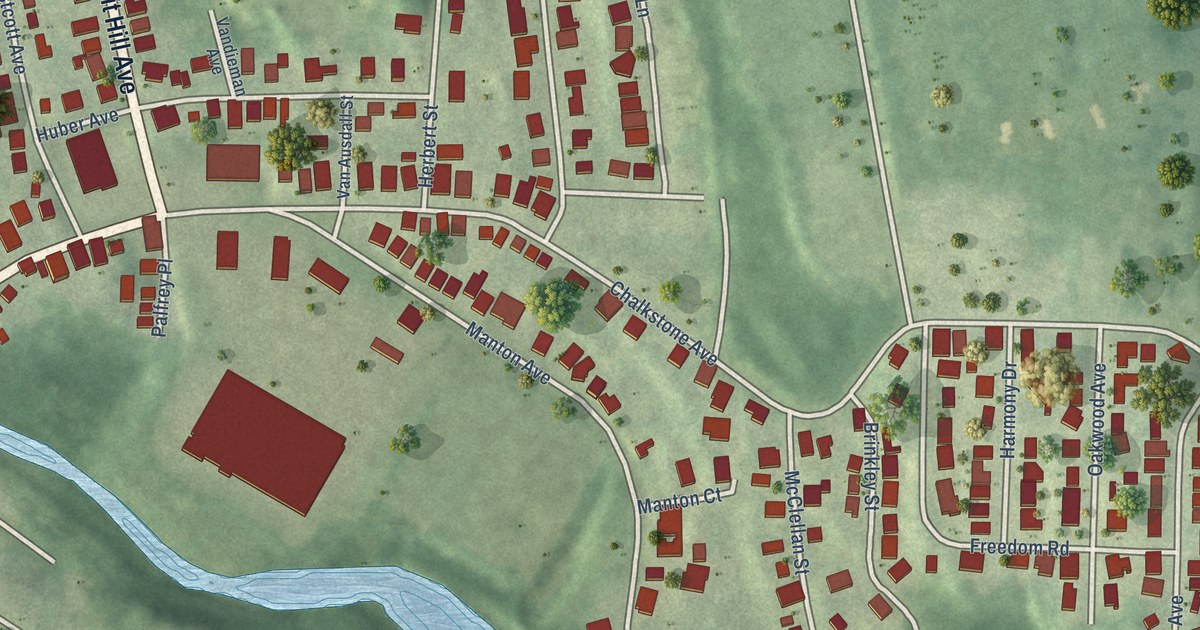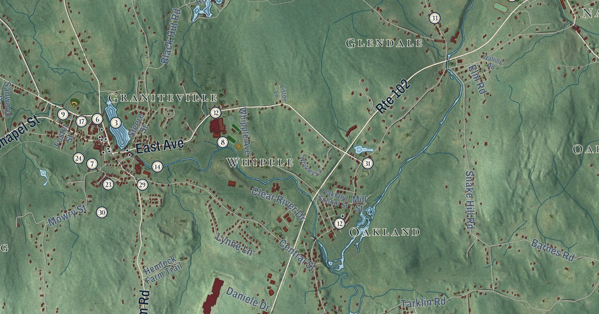
This beautifully detailed map of Burrillville, Rhode Island was created in 2026 using aerial imagery combined with modern topographical, census, street and landmark data. It’s a one-of-a-kind view of Burrillville that combines accurate data with a vintage aesthetic. The map shows every building in its true location, many of the roads carry their names, and the shaded topographic relief shows the shape of the land.
See the Burrillville, Rhode Island map on a wall
The Burrillville map as an 18 x 24 inch print in a black frame.

Explore an aerial view of Burrillville, Rhode Island
On the map you’ll find Oak Valley, Tarkiln, Nasonville, Mohegan, Gazzaville, Buck Hill Management Area, Round Top, Pascoag, Glendale, Oakland, Laurel Hill, Mapleville, and more. If you look closely you can even find your house accurately drawn in its correct location. Zoom in on the preview to look for yours.
Did you know this piece of Burrillville, Rhode Island history?
English colonists settled Burrillville around 1662, when it was still part of Glocester. It became a separate town in 1806. The town honors Senator James Burrill Jr., who had served as Rhode Island Attorney General. Mill villages such as Harrisville, Mapleville and Oakland grew up there during the 1800s.
Take a closer look at the Burrillville map
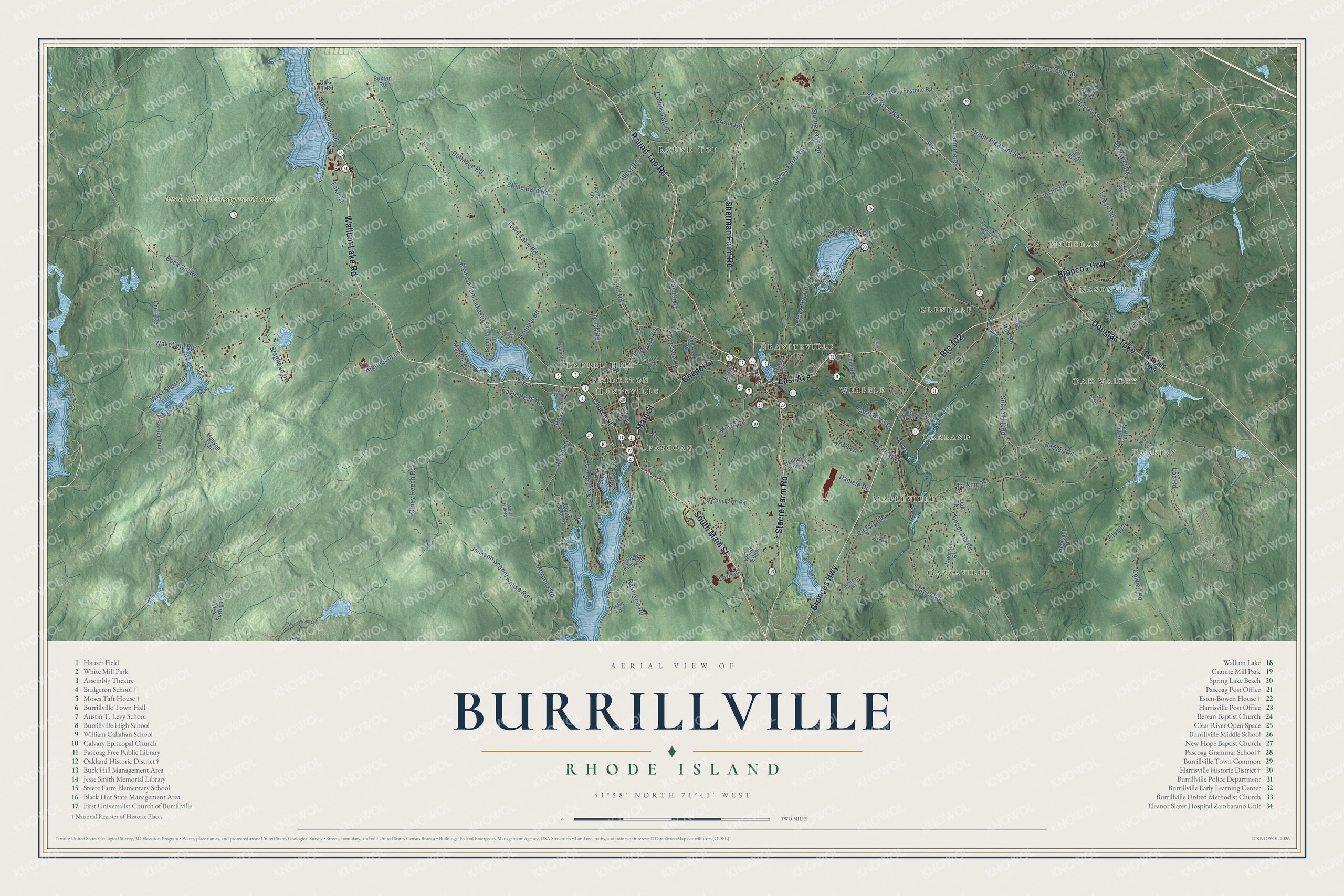
Click to explore a larger preview. The digital watermark does not appear on printed maps.
Street and place names on the Burrillville, Rhode Island map
These names are printed on the map of Burrillville, Rhode Island.
Places: Oak Valley, Tarkiln, Nasonville, Mohegan, Gazzaville, Buck Hill Management Area, Round Top, Pascoag, Glendale, Oakland, Laurel Hill, Mapleville, Huntsville, Whipple, Bridgeton and Graniteville.
Streets and roads: Wallum Lake Road, South Main Street, Broncos Highway, Main Street, Round Top Road, Sherman Farm Road, Douglas Turnpike, Steere Farm Road, East Avenue, Route 102, Chapel Street, East Wallum Lake Road.
More street names, A to Z
Algonquin Lane, Algonquin Road, Anne Lane, Barnes Road, Benedict Road, Black Hut Road, Black Star Road, Border Trail, Brook Road, Brouillard Lane, Buck Hill Road, Buxton Road, Buxton Street, Camp Dixie Road, Carol Drive, Centennial Street, Central Street, Cherry Farm Road, Church Street, Clear River Drive, Club Lane, Cold Spring Drive, Collins Taft Road, Colwell Road, Cooper Hill Road, Court House Lane, Cove Road, Cruff Road, Daniele Drive, Dano Road, Davis Drive, Donahue Road, Douglas Pike, Eagle Peak Road, East Ironstone Road, Elm Road, Emerson Road, Fortier Avenue, Foster Street, Gazza Road, George Eddy Road, Gig Road, Griffin Street, Grove Lane, Hemlock Drive, Hemlock Farm Trail, Hill Road, Inman Road, Ironmine Road, Jackson School House Road, Joslin Lane, Joslin Road, Knibb Road, Lake Shore Drive, Lake Street, Lapham Farm Road, Leboeuf Avenue, Ledoux Drive, Lee Circle, Lesieur Lane, Liston Lane, Log Road, Lynne Lane, Manley Drive, Maureen Circle, Mill Street, Moroney Road, Mount Pleasant Road, Mowry Street, Munyon Trail, Nancy Lane, Neris Way, Nichols Road, North Road, North Shore Road, Oak Hill Road, Oakland School Street, Oak Terrace, Old Wallum Lake Road, Olney Keech Road, Pheasant Drive, Pichie Lane, Point Lane, Power Lane, Pulaski Road, Reservoir Road, Richardson Clr, Rock Avenue, Ross Road, Route 7, Sanwood Drive, Sayles Avenue, Slater Drive, Smith Hill Road, Smith Road, Snake Hill Road, South Shore Road, Spring Lake Road, Spring Street, Staghead Drive, Steere Street, Stone Barn Road, Tarklin Road, Town Farm Road, Union Avenue, Victory Highway, Wakefield Road, Walling Road, Warner Lane, West Ironstone Road, West Road, West Shore Lane, Whipple Avenue, Whipple Road, Whitney Lane, Wolf Hill Road, Woods Edge, Zenon Street.
This beautifully detailed map of Burrillville makes an attractive addition to your office, library, or den, and it can even be used to teach children the geography and history of the area. It also makes a great gift for anyone with Burrillville roots. When you’re done exploring, click here to get your copy of the Burrillville map.