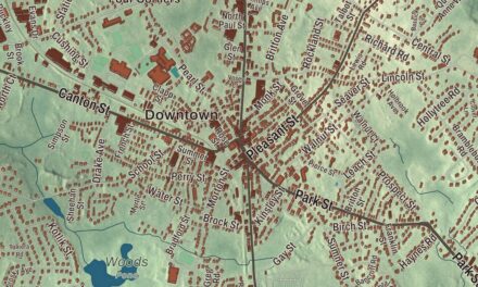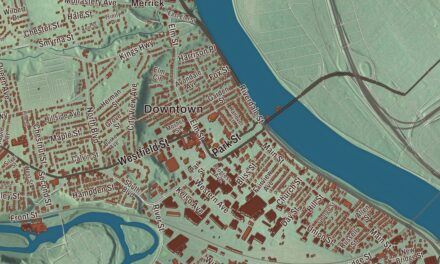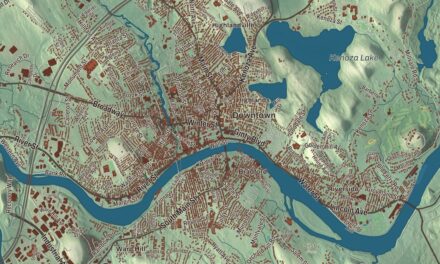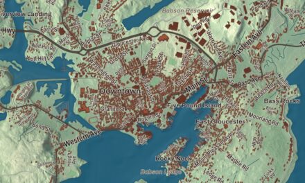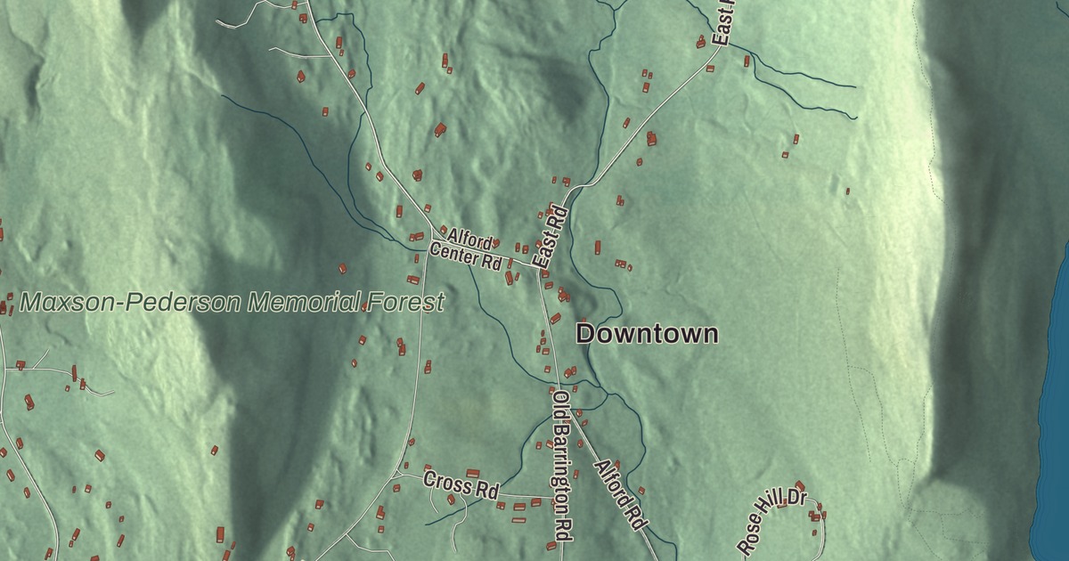
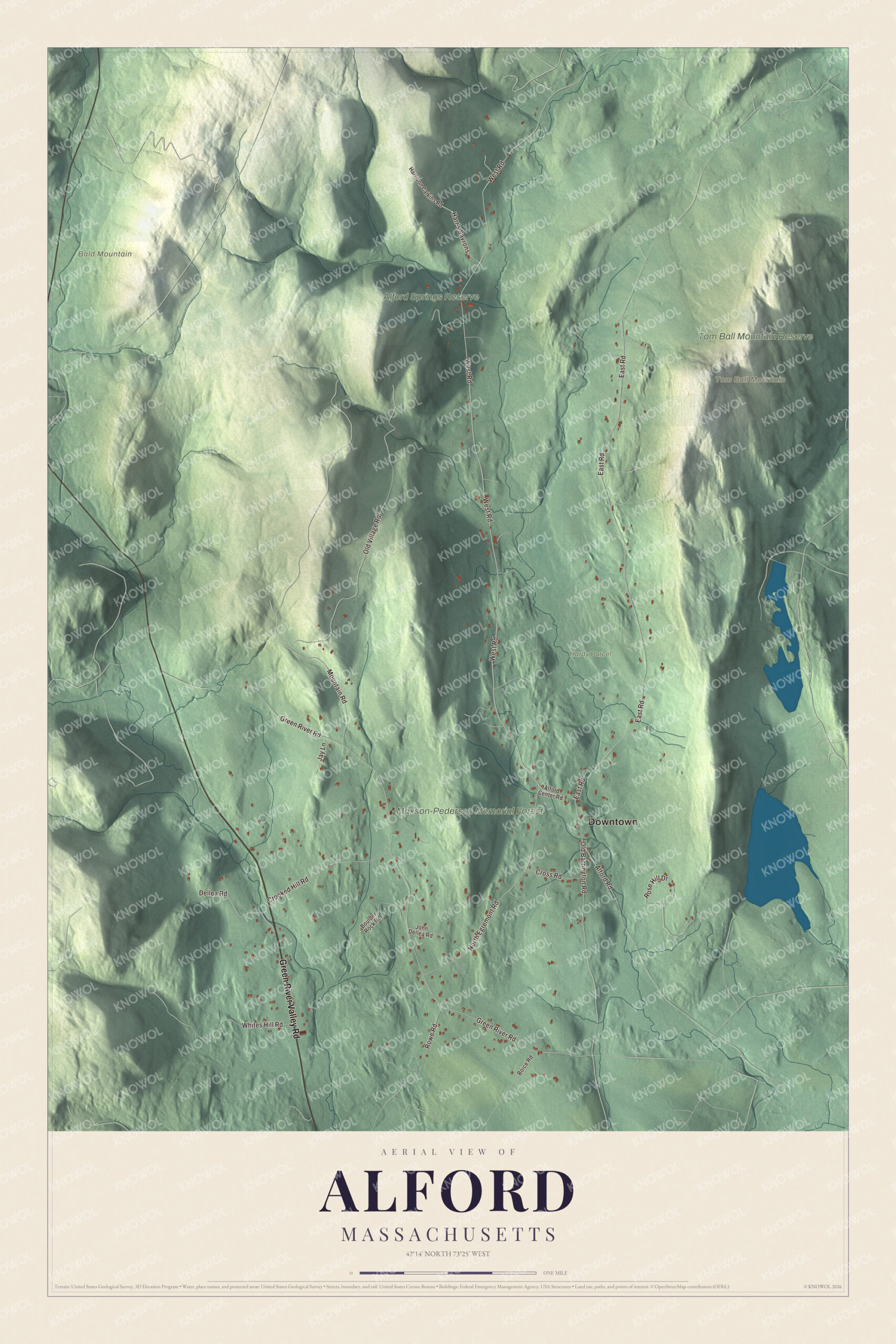
Alford has no post office, no stores and not a single gas station, and the town’s own website says so. This map prints what it does have: Green River Valley Road, Green River Road, East Road, West Road, Old Village Road and North Egremont Road, Bald Mountain and Tom Ball Mountain, and the protected woods of the Alford Springs Reserve, the Tom Ball Mountain Reserve and the Maxson-Pederson Memorial Forest. Click here to purchase a print of this map for your wall.
Alford is in Berkshire County, on the state’s western border with New York.
KNOWOL made this map in 2026 from public survey data and gave it the look of an old atlas. The shaded terrain comes from United States Geological Survey elevation data, and it’s hill country, surrounded by the Taconic Range. The town is shaped roughly like an arrowhead. The roads and the town line come from the Census Bureau. Alford had 486 people at the 2020 census.
A farming town between two grants
The Town of Alford’s history says farmers settled here in about 1750 and bought the land from the Stockbridge Indians in the Shawanon Purchase of 1756, when Joseph Quiniquant and the Shauanum Stockbridge conveyed it to Timothy Woodbridge and others. The town takes its name from Colonel John Alford of Charlestown, who was known for preaching Christianity to Native Americans and for funding a professorship of theology at Harvard. The first gristmill was built in 1763, the same year a second purchase, the Green Land Grant, added 15,000 acres. Alford separated from Great Barrington in 1769 before being incorporated in 1773. Early Alford farmed, but it also had two sawmills, two gristmills, a forge with a trip hammer, a furnace for casting hollow ware and a tannery. The Alford Village Church was built in 1817 and the Alford Town Hall in 1855.
Around New Year’s Day in 1776, General Henry Knox passed through town while hauling cannons from Fort Ticonderoga east to help end the Siege of Boston. The route is known today as the Knox Trail, it follows Route 71 into Massachusetts at Alford, and a marker stands at the state line.
Marble from Tom Ball Mountain
In 1799 large marble deposits were found on the western slopes of Tom Ball Mountain. Marble became Alford’s major export in the early 1800s, and local quarries operated until 1872, run in turn by Sanford and Frederick Fitch, James Cook and finally the Alford Marble Works. Alford marble went into New York City’s old city hall, and the town’s history adds that some may have been used for monuments in Washington. When the railroad was laid in a neighboring valley, the quarries could no longer compete, and the town has been mostly agricultural through the rest of its history.
John W. Hulbert, born in Alford in 1770, graduated from Harvard, practiced law here from 1797 and served in Congress as a Federalist from 1814 to 1817. The town’s history also remembers Susan Smith Anderson, the first woman to graduate from Massachusetts Agricultural College, now UMass Amherst, in 1920, and the poet William Cullen Bryant, who loved Alford’s woods and streams and courted his wife, Frances, on walks through them. The mystery writer Carolyn Gold Heilbrun, who wrote as Amanda Cross, once had a summer home in town. Click here to learn more about the history of Alford.
Click to explore a larger preview. The digital watermark does not appear on printed maps.
See it on a wall
The Alford map as a framed print. Swipe for more.


Ridges and the Green River
To the northeast, the peak of Tom Ball Mountain lies just over the town line in West Stockbridge, and the mountain’s western face, on the Alford side, is somewhat marshy. Bald Mountain, the Tom Ball Mountain Reserve, the Alford Springs Reserve, the Maxson-Pederson Memorial Forest, Old Village and the Hardy Parcel are all printed on the map. The Green River, a tributary of the Housatonic River, crosses the southwest corner of town, and Alford Brook runs through the middle before joining it in Great Barrington. Follow Green River Valley Road, West Road, East Road, Green River Road, Old Village Road or North Egremont Road across town, and look outward toward the mountains, forests and protected land around them. West Stockbridge is to the northeast, Great Barrington to the southeast, Egremont to the south, and Hillsdale and Austerlitz, New York, to the west.
This Alford map would look right in an office, library or den, and it can help teach children the geography and history of a small hill town whose marble went into New York’s city hall. It’s made for people who call Alford home, from the Green River to Tom Ball Mountain. KNOWOL created it in 2026, and it’s printed on museum quality archival paper. Zoom in on the preview above to explore the details, then click here to get your copy of the Alford, Massachusetts map.

Sources