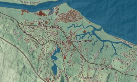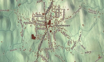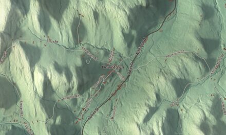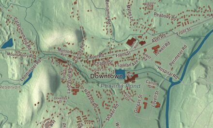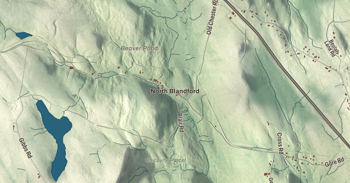
Blandford is hill country, the kind of town where you give directions by the turnpike and the reservoirs: up Main Street through the center, out the Blandford Turnpike or Otis Stage Road, down Woronoco Road or Huntington Road toward the valley. This map prints those roads and North Street, with Cobble Mountain Reservoir, Borden Brook Reservoir, Black Brook Reservoir, Beaver Pond, Clark Island, Babb Hill, Beech Hill and Birch Hill. Click here to purchase a print of this map for your wall.
Blandford is in Hampden County, 21 miles west of Springfield by Route 23 and Route 20.
KNOWOL made this map in 2026 from public survey data and gave it the look of an old atlas. The shading comes from United States Geological Survey elevation data, and it has a lot to work with here: Blandford sits near the eastern edge of the Berkshire Hills, and the land climbs from about 400 feet along the streams running down to the Westfield River to hilltops near 1,700 feet, with views east across the Connecticut River Valley. The roads and the town line come from the Census Bureau. The town covers 53.4 square miles and had 1,215 people at the 2020 census.
New Glasgow
Hugh Black was the first settler to arrive, in the fall of 1735, and James Baird came soon after. The Town of Blandford’s recorded history, in the Secretary of the Commonwealth’s list, dates European settlement to that same year. Most of the families who followed, the Reeds, McClintocks, Taggarts, Hamiltons, Montgomerys, Fergusons, Knoxes and more, were Scots-Irish Presbyterians who had first settled in Hopkinton in 1727. Not all of them were Scots-Irish; the Boies family were French Huguenots, once named Du Bois, who had been driven from France to the north of Ireland.
They called the place New Glasgow, and when they petitioned to incorporate, they asked for the name Glasgow. Governor William Shirley ignored them and named the town Blandford, after the ship that had brought him from England. It cost the town a bell: the people of Glasgow, Scotland, had promised the settlers a church bell if they named the town after their city, and it never came. Glasgow Road, near the center, still carries the name they wanted. Blandford was incorporated as a town in 1741, and the town remains part of Hampden County today.
The meeting house and the singing master
The first meeting house, which served as both church and town hall, went up in 1740, paid for by the proprietors who had sold the settlers their land. The agreement called for glass windows, but they didn’t arrive for 12 years; for 13 years the floor was a few loose boards over earth and rock, the pulpit was a square box, and the plastering waited until 1786. The building wasn’t finished until 1805, 65 years after it was begun. The church kept its Presbyterian ways, with music leaders chosen at town meeting to sing in “the good old way.” When Caleb Taylor of Westfield, the first singing master, named the tune and sang with the beat in 1771, so many were shocked that they walked out. The congregation became Congregational in 1800.
When the Lexington alarm came in 1775, 36 men from Blandford and neighboring Chester set out under Captain John Ferguson of Blandford. That winter Henry Knox hauled the cannon from Lake Champlain over the Berkshires and through Blandford on their way to Boston, along the route people now follow as the Henry Knox Trail. The town opposed the War of 1812 and sent Jedediah Smith to the Northampton Convention.
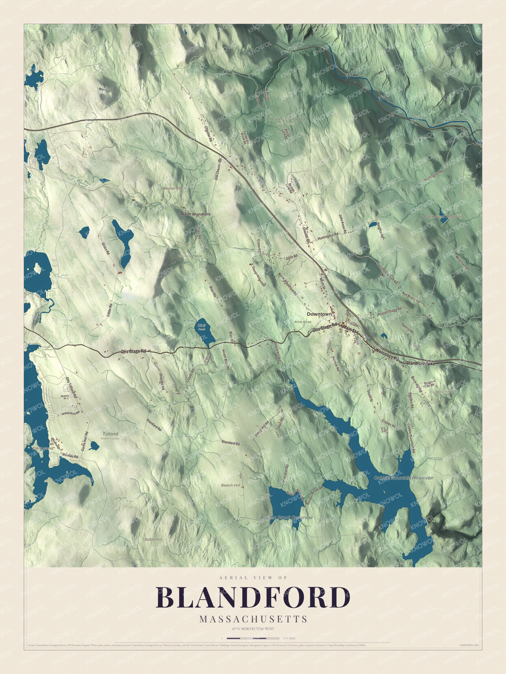
Click to explore a larger preview. The digital watermark does not appear on printed maps.
Names on this map
These names are printed on this map.
Places: Downtown, Babb Hill, Beech Hill, Birch Hill, Clark Island, Beaver Pond, Black Brook Reservoir, Cobble Mountain Reservoir, Borden Brook Reservoir, Arms Acres, Blair Pond, Chester-Blandford State Forest, Chicoyne Parcel, Tolland State Forest and North Blandford.
Streets and roads: Blandford Turnpike, Otis Stage Road, Woronoco Road, Main Street, Huntington Road, North Street, Otis Tolland Road, Curtis Hall Road, Moreau Road, Chester Road, Hall Road, Russell Stage Road.
More street names, A to Z
Beagle Club Road, Beech Hill Road, Beulah Land Road, Birch Hill Road, Blair Road, Borden Brook Road, Brookman Drive, Cobble Mountain Road, Crooks Road, Cross Road, Falls Brook, George Millard Road, Gibbs Road, Gore Road, Haights Road, Hayden Road, Hb Sperry Road, Herrick Road, Hiram Blair Road, Island Acre Road, John Knox Road, Julius Hall Road, Kaolin Road, Lloyds Road, Maple Lane, Meacham Road, North Blandford Road, Nye Brook Road, Old Chester Road, Reservoir Access Road, Sanderson Brook Road, Second Division Road, Shepard Road, South Street, Sperry Road, Standard Road, State Road, Sunset Road, Virgil Lloyds Road, Westerly Road.
See it on a wall
The Blandford map as a framed print. Swipe for more.


Cheese, mills and a trolley in the woods
Butter and cheese were Blandford’s business through the 19th century. Amos Collins, a Connecticut merchant who settled here in 1807, is credited with starting them, and he left in 1816 with a comfortable fortune. By 1879 Blandford Center had about 300 people, two churches, a hotel, two stores, a post office, a school, fairgrounds and two cemeteries. Three miles away, North Blandford had about as many people and had been a busy manufacturing village thanks to its mountain streams, with woolen mills, paper mills and tanneries in the 1850s and, by 1879, a cattle-card factory, the Diamond Cheese Factory and two small tanneries. Local lore holds that John Baird found lead and silver ore near the north line of town around 1795, kept the spot to himself, and took the secret to his grave; people have searched for it ever since.
Roads have always crossed Blandford. The Eighth Massachusetts Turnpike, laid out in 1800, passed through on its way to Chester, and today Interstate 90 cuts through the town without an exit. On August 15, 1917, the Berkshire Street Railway opened a trolley line from East Lee to Huntington by way of Blandford, the last significant line built in Massachusetts. Service stopped for the winter in October 1918 and never came back, but its ties, pole bases, viaducts and foundations can still be found in the forest, most easily around North Blandford.
Around the map
Start in North Blandford, then follow the Blandford Turnpike, Otis Stage Road, Woronoco Road, Main Street, Huntington Road and North Street across town. Springfield has reserved the upper watershed of the Little River here as its main water supply, Cobble Mountain Reservoir. On North Street, at number 17, the Blandford Club has kept a nine-hole golf course since 1909, just past the historic White Church, and the fairgrounds host the Blandford Fair every Labor Day weekend. The Porter Memorial Library opened in 1891. The Springfield Ski Club ran the Blandford Ski Area from 1936 until 2017; it reopened under new owners as Ski Blandford and closed for good in 2020. Clark Island, Black Brook Reservoir, Cobble Mountain Reservoir, Borden Brook Reservoir, Babb Hill, Beech Hill, Birch Hill and Beaver Pond are all printed on the map.
Blandford’s map makes a good addition to an office, library or den, and it can help teach children the geography and history of the hill town that wanted to be called Glasgow. It’s made for people who call Blandford home, from the center to North Blandford, and it shows the town as it looks today. Zoom in on the preview above to explore the details, then click here to get your copy of the Blandford, Massachusetts map.

Sources