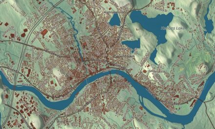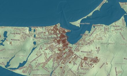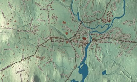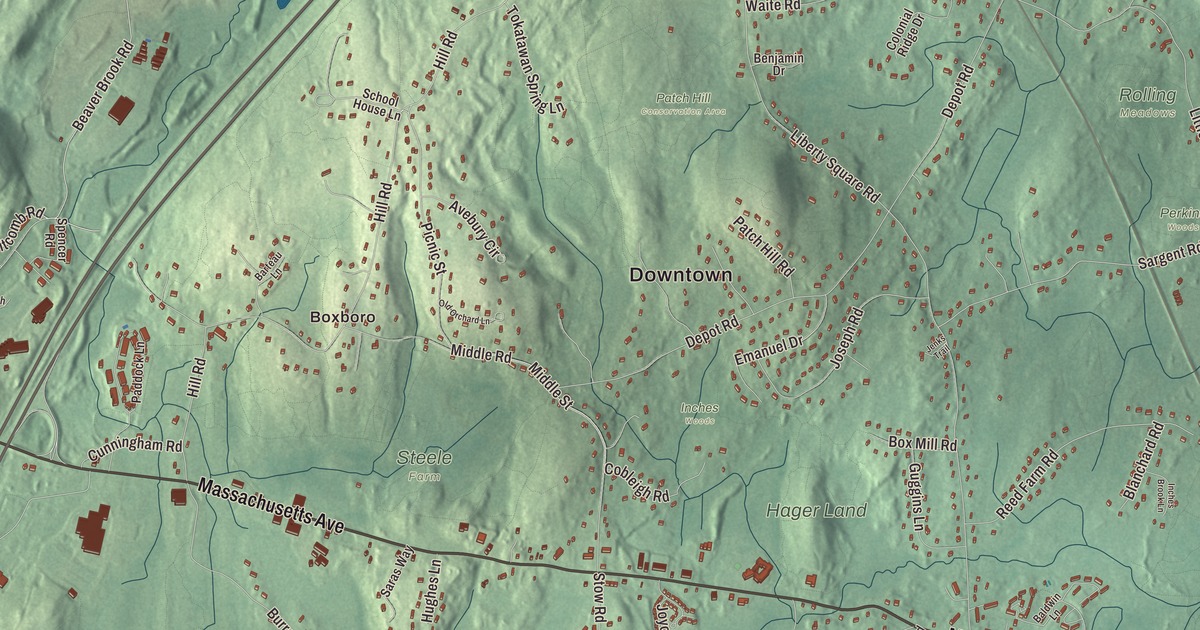
On highway signs and official papers the name is often cut down to Boxboro. This map of Boxborough prints Massachusetts Avenue, Beaver Brook Road, Whitcomb Road, Middle Street, Burroughs Road and Hill Road, with Flagg Hill, Newtown Hill, Oak Hill, Flagg Hill Pond, Eldridge Pond and the Wolf Swamp Conservation Land. Click here to purchase a print of this map for your wall.
Boxborough is in Middlesex County, on the line between Middlesex and Worcester counties.
KNOWOL made this map in 2026 from public survey data and gave it the look of an old atlas. The relief comes from United States Geological Survey elevation data, and the roads and the town line come from the Census Bureau. Boxborough is a small town of 10.4 square miles, almost all of it land, with Littleton to the north, Acton to the east, Stow to the south and Harvard to the west, and it had 5,506 people at the 2020 census.
Farms between three towns
The Nipmuc and Pennacook peoples lived here first. The Town of Boxborough’s recorded history, in the Secretary of the Commonwealth’s list, dates European settlement to 1680, though the town page says farmers looking for good land didn’t really settle it until the early 1700s. John Wetherbee and his family built houses here as early as 1717, and some historians call him the area’s first settler; the Taylors, Blanchards, Hagers, Woods and Stones came early too. Over the following decades this became one of the most productive farming areas in the county.
The land belonged to Stow, Harvard and Littleton, and the people at the far edges found it hard to get to church every week, as they were required to. On January 31, 1775, they formed a “Sartain Society” and agreed to buy Harvard’s old meeting house to serve as their town hall and church. They were turned down three times before they were accepted as a district in 1782, and the town page dates Boxborough’s incorporation to February 25, 1783; the state’s list gives 1835 as the year Boxborough was incorporated as a town. Silas Wetherbee gave the land for the new meeting house, and Silas Taylor became the district’s first clerk. Boxborough drew a new county line between Middlesex and Worcester, and the town remains part of Middlesex County today.
The fifer
On April 19, 1775, 21 men from Boxborough met at the Boaz Brown house on Hill Road and marched with the Littleton and Acton companies to Lexington and Concord. One of them, Luther Blanchard, was the fifer in Captain Isaac Davis’s Acton company at the North Bridge. Some historians remember him as the first man wounded there, though that’s hard to confirm. He took a musket ball to the chest, and the historian Lucie Hager recorded his answer to the Concord woman tending his wound and told him that a little more and he’d have been killed: “Yes, and a little more and it would not have touched me.” He died three days later. Luther’s picture is on the town seal, Blanchard Memorial School is named for his family, and every June the Boxborough Minutemen hold Fifer’s Day at Flerra Meadows in his memory, with a 4-mile road race, a parade and a field full of games and bands.
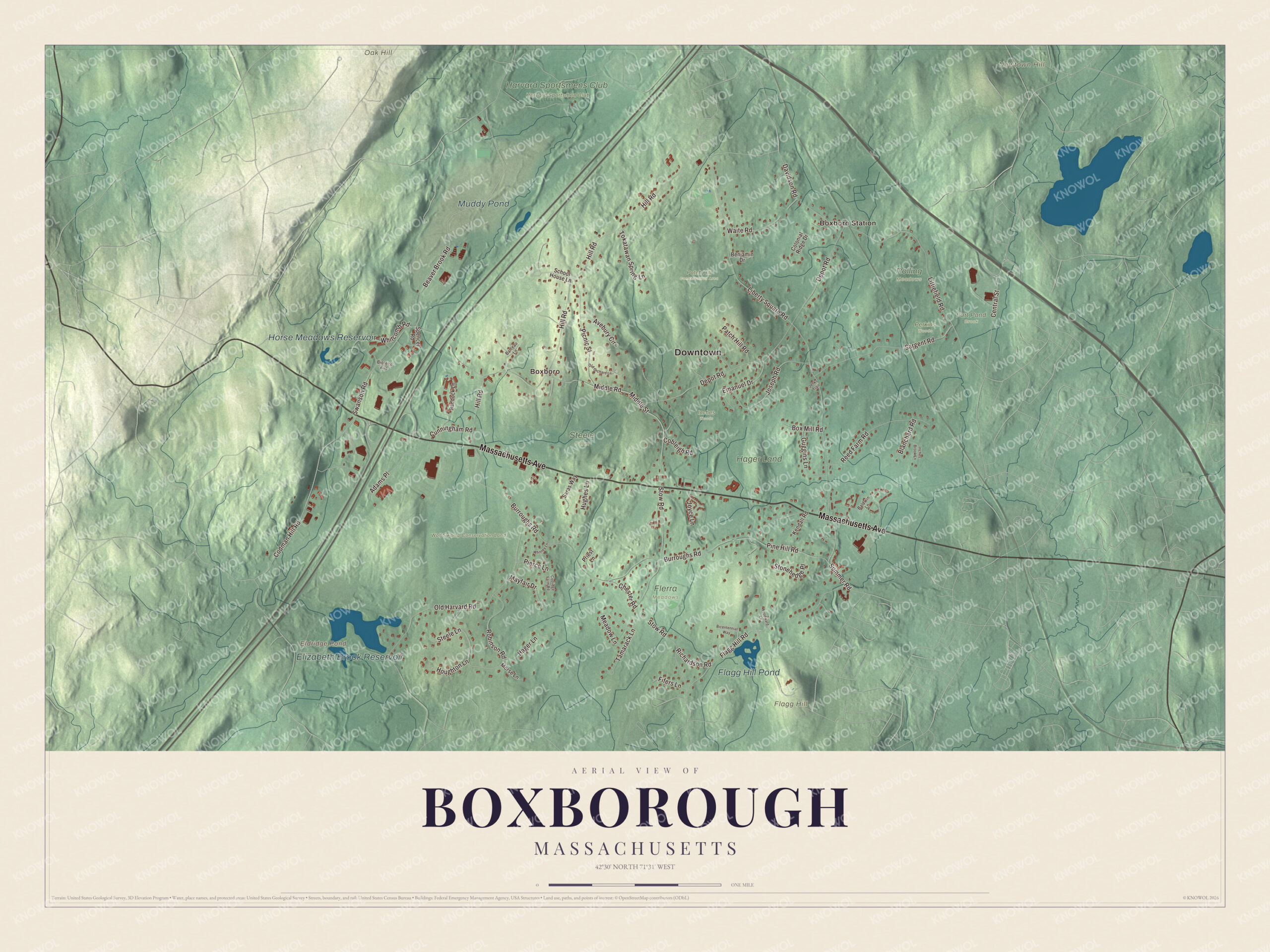
Click to explore a larger preview. The digital watermark does not appear on printed maps.
Names on this map
These names are printed on this map.
Places: Downtown, Boxboro Station, Boxboro, Flagg Hill, Newtown Hill, Oak Hill, Eldridge Pond, Flagg Hill Pond, Elizabeth Brook Reservoir, Horse Meadows Reservoir, Muddy Pond, Harvard Sportsmens Club, Flerra Meadows, Fort Pond Brook, Hager Land, Harvard Sportsmen Club, Inches Woods, Patch Hill Conservation Area, Perkins Woods, Rolling Meadows, Steele Farm and Wolf Swamp Conservation Land.
Streets and roads: Massachusetts Avenue, Beaver Brook Road, Whitcomb Road, Middle Street, Burroughs Road, Hill Road, Liberty Square Road, Depot Road, Stow Road, Old Harvard Road, Flagg Hill Road, Codman Hill Road.
More street names, A to Z
Adams Place, Avebury Circle, Baldwin Lane, Barteau Lane, Benjamin Drive, Bicentennial Way, Biotech Avenue, Blanchard Road, Box Mill Road, Central Street, Chester Road, Cobleigh Road, Colonial Ridge Drive, Coolidge Farm Road, Cunningham Road, Davidson Road, Emanuel Drive, Fifers Lane, Guggins Lane, Hager Lane, Houghton Lane, Hughes Lane, Inches Brook Lane, Jenks Trail, Joseph Road, Joyce Lane, Kendall Road, Littlefield Road, Mayfair Drive, Meadow Lane, Middle Road, Morse Lane, Old Orchard Lane, Paddock Lane, Patch Hill Road, Picnic Street, Pierce Lane, Pine Hill Road, Priest Lane, Reed Farm Road, Richardson Road, Robinson Road, Saras Way, Sargent Road, School House Lane, Spencer Road, Steele Lane, Stonehedge Place, Summer Road, Swanson Road, Tamarack Lane, Tokatawan Spring Lane, Waite Road, Whitney Lane, Woodward Lane.
See it on a wall
The Boxborough map as a framed print. Swipe for more.


The Minutemen company was founded in 1967 to keep the memory of the town’s part in the Revolution and to serve the community, and it carries on a line of honorary companies going back to the “Slam Bang Company” after the war. Two of the old farms are still there. The Silas Wetherbee House of 1770, also called Walnut Farm, stands on Hill Road as part of the “Path of the Patriots,” and the Silas Taylor Farm is on Flagg Hill. Most of those early leaders lie in the Old North Cemetery, with graves going back to the 18th century. The Boxborough Historical Society opened the Boxborough Museum on October 16, 2005, at 575 Middle Road, and it’s open several Sundays a year.
Around the map
Start at Boxboro Station, then follow Massachusetts Avenue, Beaver Brook Road, Whitcomb Road, Middle Street, Burroughs Road and Hill Road across town, and look outward toward Boxboro. Boxborough keeps 14 tracts of state, nonprofit, conservation and town land with trails, looked after by volunteers and town workers. Steele Farm is a favorite for sledding and hikes, a glacial esker more than a mile long runs through the Beaver Valley Preserve, and the Harvest Fair each September celebrates the town’s farming past. Eldridge Pond, Flagg Hill Pond, Elizabeth Brook Reservoir, Horse Meadows Reservoir, the Wolf Swamp Conservation Land, Beaver Brook, Flagg Hill, Newtown Hill and Oak Hill are all printed on the map.
Boxborough’s map makes a fine addition to an office, library or den, and it can help teach children the geography and history of the town that remembers its fifer every June. It’s made for people who call Boxborough home, from Boxboro Station to Flagg Hill, and it shows the town as it looks today. Zoom in on the preview above to explore the details, then click here to get your copy of the Boxborough, Massachusetts map.

Sources