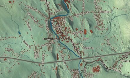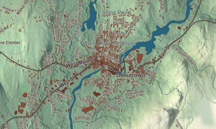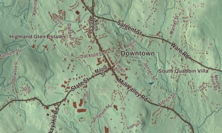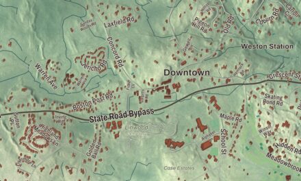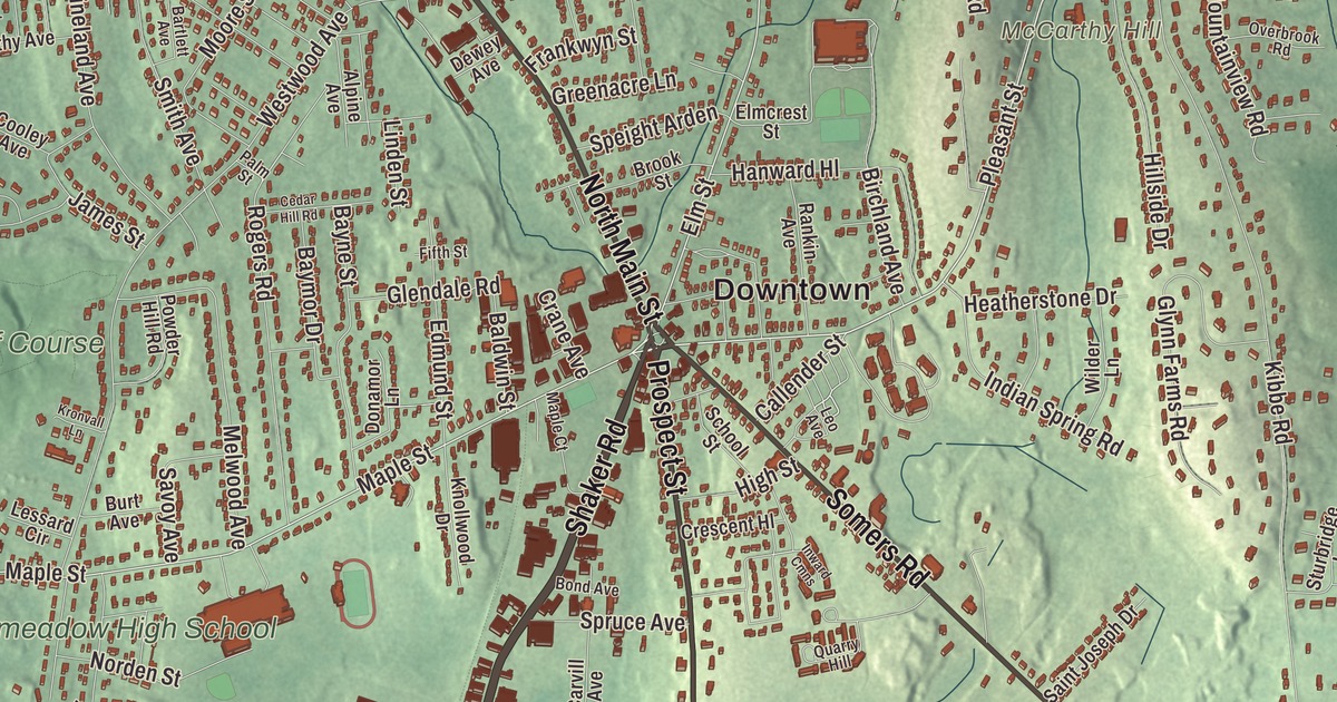
At the center of East Longmeadow is the Rotary, where seven streets feed in without a single traffic light. This map prints Shaker Road, Prospect Street, North Main Street, Somers Road, Maple Street and Pleasant Street, with the Jawbuck Brook Reservoir, Red Stone Lake, McCarthy Hill and Baptist Village. Click here to purchase a print of this map for your wall.
East Longmeadow is in Hampden County, 5 miles southeast of downtown Springfield.
KNOWOL made this map in 2026 from public survey data and gave it the look of an old atlas. The relief comes from United States Geological Survey elevation data, and the roads and the town line come from the Census Bureau. East Longmeadow covers 12.94 square miles, with Enfield and Somers, Connecticut, to the south, Hampden to the east, Wilbraham to the northeast, Springfield to the north and northwest and Longmeadow to the west. The town had 16,430 people at the 2020 census.
East Village
Longmeadow was first settled in the 17th century, and in the 1750s houses began to appear in its eastern part, known as “East Village.” The Town of East Longmeadow’s recorded history, in the Secretary of the Commonwealth’s list, dates European settlement to 1740. The town’s oldest surviving building is believed to be the Elijah Burt House on Chestnut Street, built sometime between 1720 and 1740, which served early on as a stop for stagecoaches. Before the Civil War, its abolitionist owner is said to have hidden people escaping slavery in the basement, with a tunnel leading out to the woods, and the house is believed to have been a station on the Underground Railroad. East Village separated from Longmeadow in 1894, and East Longmeadow was incorporated as a town that same year. The town remains part of Hampden County today, and the state lists it among the communities with city structures that still call themselves towns.
Brownstone
East Longmeadow’s red and brown sandstone quarries gave the town its industrial start, and they were well known even before it split from Longmeadow. Around the turn of the 20th century the town’s growth leaned heavily on brownstone quarrying, which drew Swedish immigrants from Connecticut along with large French and Italian communities, most of them working in the quarries. A railroad came through in the late 19th century, built by the Springfield and New London Railroad. It was never part of a major route and was abandoned by the 1980s, and in the early 2010s a 1.6 mile stretch of the old line became the Redstone Rail Trail, from Maple Street to Denslow Road. The old train depot was renovated into an ice cream stand that opened in the spring of 2021. Click here to learn more about the history of East Longmeadow.
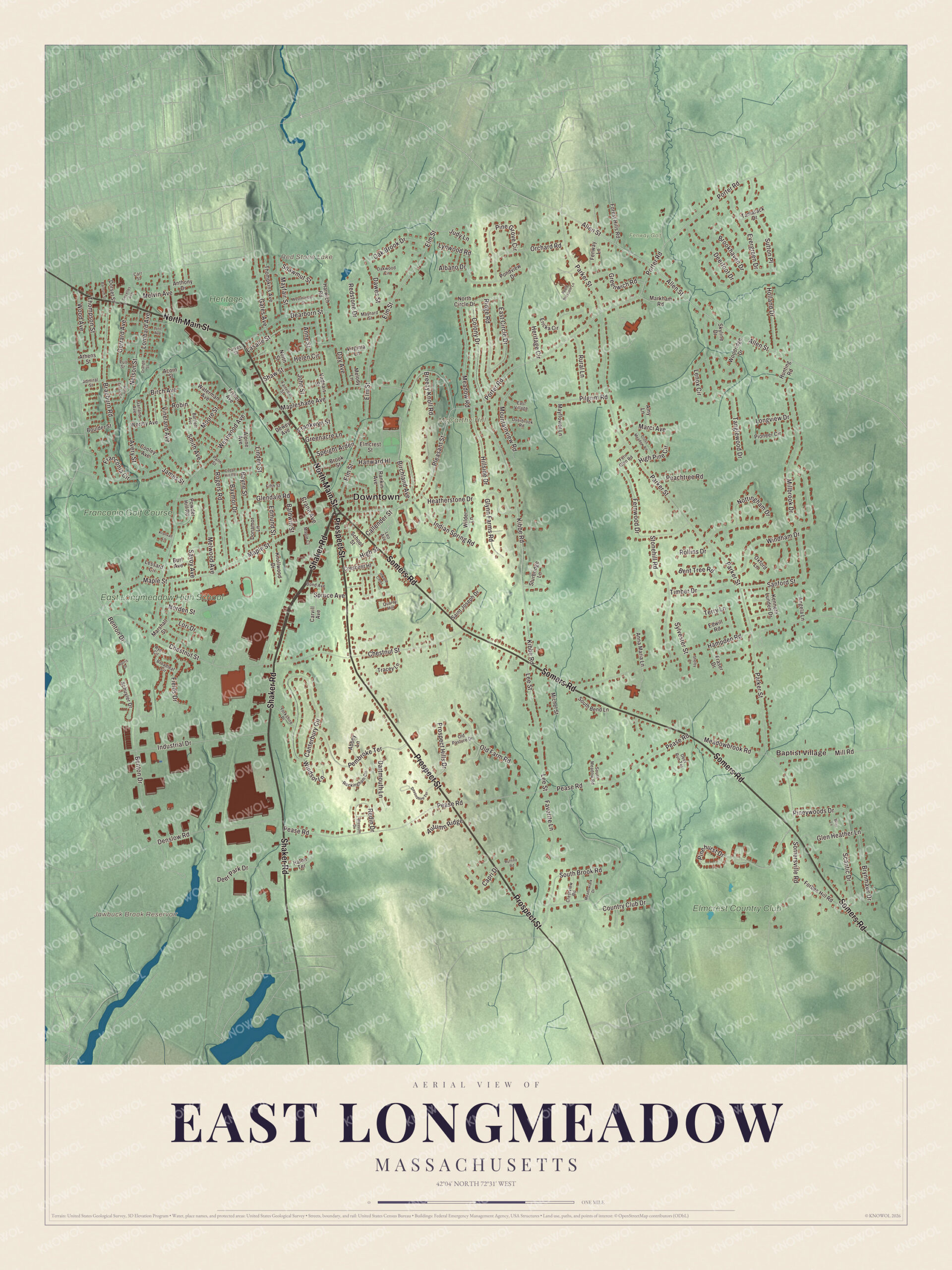
Click to explore a larger preview. The digital watermark does not appear on printed maps.
Names on this map
These names are printed on this map.
Places: Downtown, Baptist Village, McCarthy Hill, Jawbuck Brook Reservoir, Red Stone Lake, Franconia Golf Course, Elmcrest Country Club, East Longmeadow High School, Fenway Golf and Heritage Park.
Streets and roads: Shaker Road, Prospect Street, North Main Street, Somers Road, Maple Street, Pleasant Street, Allen Street, Elm Street, Porter Road, Mapleshade Avenue, Hampden Road, Pinehurst Drive.
More street names, A to Z
Abbey Lane, Acorn Street, Admiral Street, Albano Drive, Alpine Avenue, Amy Lane, Angela Lane, Anna Maria Lane, Anne Street, Anthony Drive, Apple Blossom Lane, Athens Street, Autumn Ridge, Avery Street, Baldwin Street, Barnum Street, Bartlett Avenue, Baymor Drive, Bayne Street, Benton Drive, Bent Tree Road, Birch Avenue, Birchland Avenue, Blossom Drive, Bond Avenue, Boulder Street, Braeburn Road, Breezy Knoll Road, Brier Lane, Broadleaf Circle, Brookhaven Drive, Brook Street, Brynmawr Drive, Burt Avenue, Callender Street, Canterbury Circle, Capri Drive, Carr Street, Carvill Avenue, Cedar Hill Road, Chestnut Street, Colony Drive, Cooley Avenue, Country Club Drive, Crane Avenue, Crescent Hl, Crestview Road, Cross Meadow Road, Dartmouth Lane, Dawes Street, Day Avenue, Dearborn Street, Decelles Avenue, Deerfoot Drive, Deer Park Drive, Deer Run Terrace, Denslow Road, Devonshire Terrace, Dewey Avenue, Donamor Lane, Dorset Street, East Circle Drive, East Village, Edmund Street, Edwill Road, Elmcrest Street, Ericka Circle, Evergreen Drive, Fairview Street, Favorite Lane, Fenway Lane, Fern Glen Road, Fernwood Drive, Fields Drive, Fifth Street, Fisher Avenue, Forbes Hill Road, Forest Hills Road, Franconia Circle, Frankwyn Street, Fraser Drive, Garland Avenue, Gates Avenue, Gerrard Avenue, Glendale Road, Glen Heather Lane, Glynn Farms Road, Greenacre Lane, Greenwich Road, Halon Terrace, Hanward Hl, Harris Drive, Harwich Road, Heatherstone Drive, Helen Circle, Heritage Circle, High Pine Circle, High Street, Hillside Drive, Holland Drive, Holy Cross Circle, Hunting Road, Indian Spring Road, Industrial Drive, Inward Cmns, James Street, John Street, Judy Lane, Kenneth Lunden Drive, Kibbe Road, Knollwood Drive, Kronvall Lane, Lasalle Street, Lee Street, Lenox Circle, Leo Avenue, Lessard Circle, Linden Street, Lombard Avenue, Longview Drive, Lori Drive, Lull Street, Lynwood Road, Lyric Avenue, Maple Court, Marci Avenue, Markham Road, Marshall Street, Mayfair Street, Mayflower Lane, Maynard Street, Meadowbrook Road, Meadowlark Drive, Meadow Road, Melody Lane, Melvin Avenue, Melwood Avenue, Michel Street, Millbrook Drive, Mill Road, Moore Street, Mountainview Road, Nelson Street, Norden Street, North Circle Drive, North Street, Nottingham Drive, Oak Brook Drive, Oakwood Circle, Old Farm Road, Old Pasture Drive, Orange Street, Orchard Road, Overbrook Road, Oxford Lane, Palm Street, Parker Street, Peachtree Road, Pease Road, Pembroke Terrace, Pilgrim Road, Pine Grove Circle, Pineywoods Drive, Pioneer Circle, Pondview Drive, Powder Hill Road, Prospect Hills Drive, Purves Street, Quarry Hill, Rankin Avenue, Redin Drive, Redstone Drive, Ridge Road, Robin, Rockingham Circle, Rogers Road, Rollins Drive, Ruffino Road, Rural Lane, Rye Circle, Saint Joseph Drive, Sanford Street, Savoy Avenue, Scantic Drive, School Street, Schuyler Drive, Shawmut Street, Shaw Street, Shelby Lane, Skyline Drive, Smith Avenue, Somersville Road, South Bend Lane, South Brook Road, South Meadow Road, Speight Arden, Spruce Avenue, Stonehill Road, Sturbridge Lane, Sutton Place, Sylvester Street, Tamarack Drive, Tanglewood Drive, Terry Lane, Thompkins Avenue, Thompson Street, Timber Drive, Tracey Lane, Vadnais Street, Vineland Avenue, Virginia Lane, Waterman Avenue, Westminster Street, Westwood Avenue, Wilder Lane, Windham Drive, Windsor Lane, Wood Avenue, Woodridge Drive, Worthy Avenue, Yorkshire Place.
See it on a wall
The East Longmeadow map as a framed print. Swipe for more.


Games and the Fourth of July
East Longmeadow was home to the Milton Bradley Company for many years. In the late 1960s the game maker moved its manufacturing from Springfield to a new plant in East Longmeadow of 1,100,000 square feet, Hasbro bought the company in 1984, and in 2016 the plant was bought by Cartamundi. The town’s Fourth of July parade is one of the largest in Western Massachusetts, and East Longmeadow High School puts on fireworks, traditionally on July 3. Heritage Park has Blackman’s Pond, ball fields, a playscape and picnic grounds. The author Victoria Aveyard, the Olympic gold medalist Tim Daggett and Admiral Robert F. Willard are among the town’s notable people.
Around the map
Start with Baptist Village, then follow Shaker Road, Prospect Street, North Main Street, Somers Road, Maple Street and Pleasant Street across town. The Rotary, with its small shops and restaurants, was made famous by Robert Ripley of Ripley’s Believe It or Not for its seven feeder streets with no traffic lights. South of the center, the Elijah Burt House stands on Chestnut Street, about midway between Shaker Road and Prospect Street. The Jawbuck Brook Reservoir, Red Stone Lake and McCarthy Hill are all printed on the map.
The East Longmeadow map makes a fine addition to an office, library or den, and it can help teach children the geography and history of a town built on brownstone. It’s made for people who call East Longmeadow home, from Baptist Village to the Rotary, and it shows the town as it looks today. Zoom in on the preview above to explore the details, then click here to get your copy of the East Longmeadow, Massachusetts map.

Sources