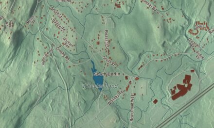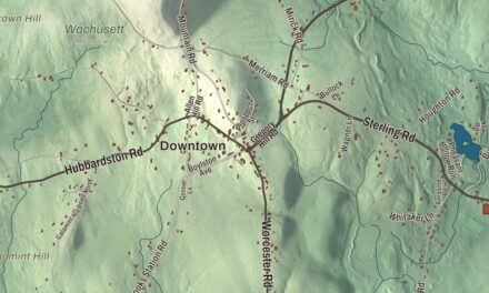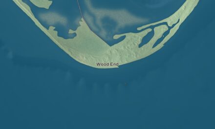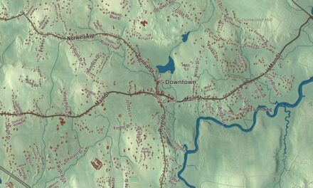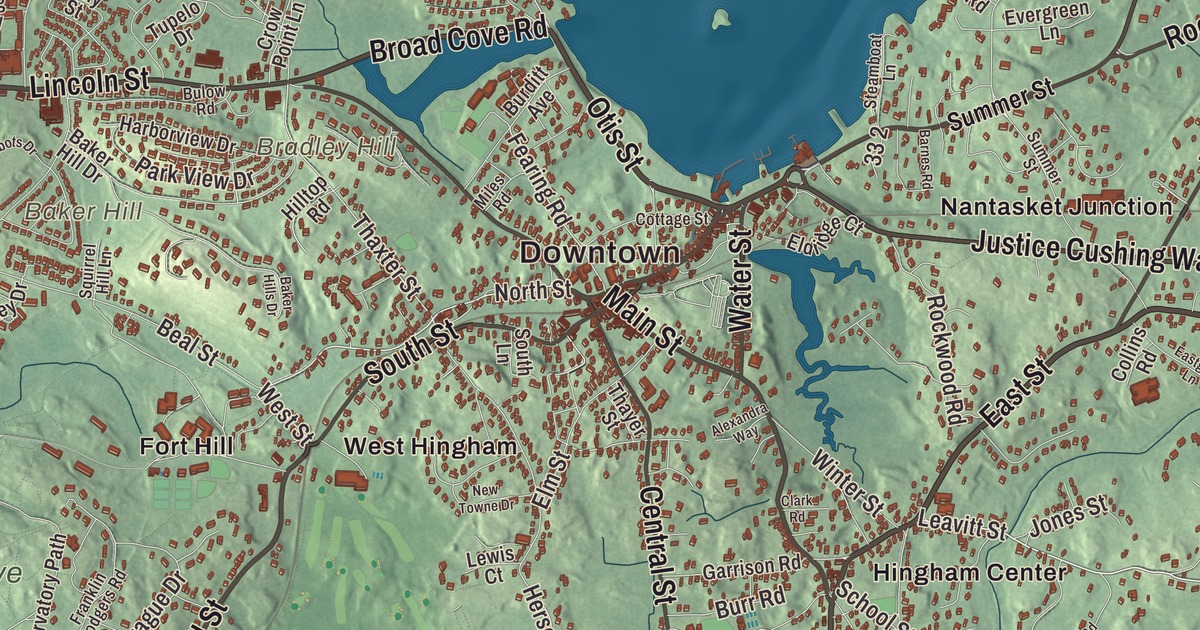
Hingham is a harbor town of old Main Street houses, the Old Ship Church, World’s End across the water and Accord Pond up on the Norwell line. This map prints Main Street, East Street, Hull Street, Otis Street, Derby Street and Broad Cove Road, with Accord Pond, Button Island, Crow Point and Fort Hill. Click here to purchase a print of this map for your wall.
Hingham is in Plymouth County.
KNOWOL made this map in 2026 from public survey data and gave it the look of an old atlas. United States Geological Survey elevation data shapes the drumlins and the shore, and the streets and the town line come from the Census Bureau. Hingham covers 26.3 square miles on the southwestern corner of Boston Harbor, about 14 miles southeast of Boston, and it had 24,284 people at the 2020 census. The harbor cuts a U-shaped bay into the north shore of town, and the Weir River separates it from Hull.
Bare Cove becomes Hingham
The first English colonists called the place Bare Cove. The Town of Hingham’s recorded history, in the Secretary of the Commonwealth’s list, dates European settlement to 1633, and Hingham was incorporated as a town two years later, in 1635. Most of the first settlers came from Hingham, a market town in Norfolk, England, along with their ministers, the Reverend Peter Hobart and the Reverend Robert Peck, who had fallen out with the Church of England. Samuel Lincoln, Abraham Lincoln’s first American ancestor, came from there to Massachusetts in 1637. The Wampanoag sachem Josiah Wompatuck later sold the township to the settlers’ representatives. Hingham was part of Suffolk County until 1803 and has been in Plymouth County ever since, and the town remains part of Plymouth County today.
Daniel Cushing, the third town clerk, kept such careful records, gossip included, that later historians could rebuild much of early Hingham’s story from them. The Lincoln Historic District covers the earliest streets laid out in 1635, around North and South streets, Main Street and Lincoln Street, and takes its name from the many Lincolns among the first settlers. A bronze statue of President Lincoln, a copy of the seated figure at the Lincoln Memorial, sits at the foot of Lincoln Street. The district was listed on the National Register in 1991.
The Old Ship Church
On July 26, 1681, the townspeople gathered on a knoll beside Bachelor’s Row, now Main Street, to raise a new meetinghouse. That building is the Old Ship Church, home to a congregation gathered in 1635. Its page calls it the only surviving 17th-century Puritan meetinghouse in the United States and the oldest church building in continuous religious use in the country. Its roof of great oak beams looks like the upturned frame of a ship, and some of the men who raised it were likely ship carpenters. It was named a National Historic Landmark in 1960.
On North Street, the General Benjamin Lincoln House was the birthplace and home of Major General Benjamin Lincoln of the Continental Army, the officer the town page says accepted Cornwallis’s sword of surrender at Yorktown. The oldest standing part of the house likely dates from the 1720s, and the Hingham Historical Society bought it in 2020. Farther south, the South Hingham Historic District follows Main Street from Cushing Street to Tower Brook Road, and its oldest building is the Edward Wilder House of 1650.
World’s End, Accord Pond and the shipyard
World’s End is a 251-acre peninsula of four drumlins between the Weir River and Hingham Harbor. In 1886 its owner, John Brewer, hired Frederick Law Olmsted to lay out a subdivision, and the roads and trees went in, but the houses were never built. In 1945 it was proposed as a site for the new United Nations, and since 1967 most of it has belonged to the Trustees of Reservations and been open to the public. Button Island, out in Hingham Bay, is less than an acre above the tide and is known for a large oak tree.
Accord Pond, a 100-acre reservoir on the Norwell and Rockland lines, takes its name from an accord made there in early colonial times between local Native people and English settlers, and it’s a water supply for Hingham and Hull. Its gates first sent water into the town’s pipes in 1880. On the Weymouth Back River, the Bethlehem Hingham Shipyard built 277 ships between 1941 and 1945, once delivering a destroyer escort in 23 days, with a workforce that grew to 15,000, including 2,500 women. Wompatuck State Park, about 3,500 acres mostly in Hingham, is known for the free spring water at Mt. Blue Spring. Hingham’s notable people include Marc Brown, the creator of Arthur, and the historian David McCullough, who lived in town part of the year.
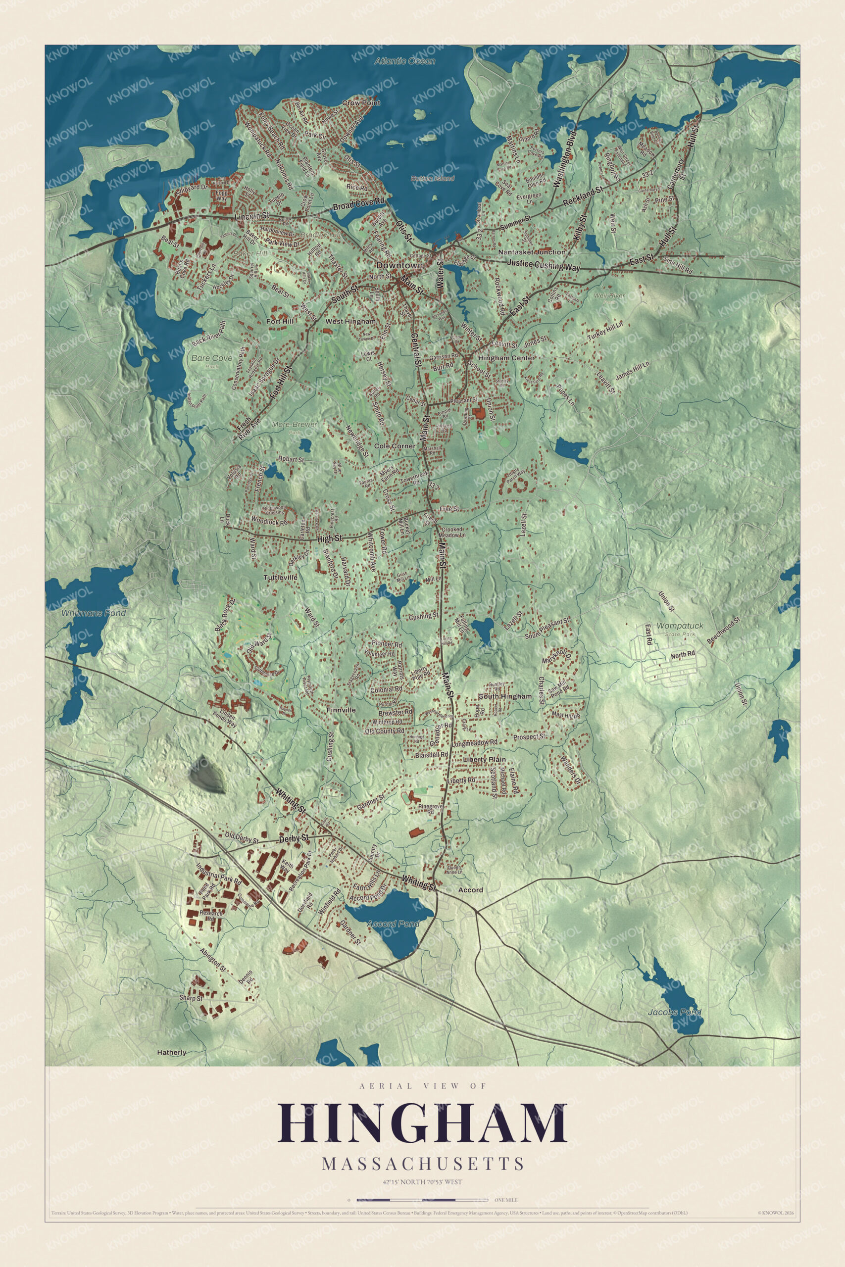
Click to explore a larger preview. The digital watermark does not appear on printed maps.
Names on this map
These names are printed on this map.
Places: Downtown, Baker Hill, Bradley Hill, Button Island, Whitmans Pond, Accord Pond, Jacobs Pond, Atlantic Ocean, Bare Cove Park, More-Brewer Park, Weir River Farm, Wompatuck State Park, Accord, Cole Corner, Crow Point, Finnville, Fort Hill, Hatherly, Hingham Center, Liberty Plain, Nantasket Junction, South Hingham, Tuttleville and West Hingham.
Streets and roads: East Street, Hull Street, Otis Street, Broad Cove Road, Derby Street, Main Street, Fort Hill Street, Lincoln Street, Justice Cushing Way, High Street, Whiting Street, Rockland Street.
More street names, A to Z
Abington Street, Accord Pond Drive, Alexandra Way, Arnold Road, Ash Street, Back River Path, Baker Hill Drive, Baker Hills Drive, Barnes Road, Beal's Cove Road, Beal Street, Beechwood Street, Bel Air Road, Berkley Circle, Black Rock Drive, Blaisdell Road, Blue Sky Drive, Bonnie Brier Circle, Boulder Glen Road, Brewster Road, Bucket Mill Lane, Bulow Road, Burditt Avenue, Burr Road, Butler Road, Canterbury Street, Carleton Road, Cedar Street, Central Street, Charles Street, Churchill Road, Clark Road, Clubhouse Drive, Collins Road, Colonial Road, Commerce Road, Conservatory Path, Cottage Street, Country Drive, Craig Lane, Crooked Meadow Lane, Cross Street, Crow Point Lane, Cushing Street, Deerfield Road, Dennis Road, Downer Avenue, Downing Street, Duck Lane, Eastgate Lane, East Road, Elaine Road, Eldridge Court, Elm Street, Evergreen Lane, Farm Hills Lane, Fearing Road, Fogg Way, Foley Beach Road, Franklin Rodgers Road, Free Street, French Street, Fresh River Avenue, Friend Street, Fulling Mill Lane, Gardner Street, Garrison Road, Gilford Road, Grenadier Road, Grist Mill Lane, Grove Avenue, Harborview Drive, Harvard Drive, Hemlock Road, Heritage Road, Hersey Street, Hilltop Road, Hms Halsted Drive, Hobart Street, Hockley Drive, Holly Street, Hoover Road, Hope Road, Howe Street, Huntley Road, Indian Point Path, Industrial Park Road, Isaac Sprague Drive, James Hill Lane, Jones Street, Keith Way, Kilby Street, Knoll Road, Kress Farm Road, Lazell Street, Leavitt Street, Lewis Court, Liberty Pole Road, Liberty Road, Linden Ponds Way, Linscott Road, Longmeadow Road, Loring Hill Road, Marshall Road, Martins Cove Road, Martins Lane, Maryknoll Drive, Mast Hill Road, Meadow Road, Michael Road, Miles Road, Mill Lane, Myers Farm Road, Newbridge Street, New Towne Drive, Nokomis Road, North Road, North Street, Ocean View Drive, Old County Road, Old Derby Street, Old Ward Street, Park Circle, Park View Drive, Partridge Drive, Patriots Way, Peter Hobart Drive, Pinecrest Road, Pinegrove Road, Pine Street, Pioneer Road, Planters Field Lane, Pleasant Street, Plymouth River Road, Pond Park Road, Popes Lane, Porters Cove Road, Powers Lane, Prospect Street, Puritan Road, Queen Anne Lane, Raynor Drive, Recreation Park Drive, Research Road, Rice Road, Ridgewood Crossing, Ringbolt Road, Rockwood Road, Saw Mill Pond Road, School Street, Scotland Street, Seal Cove Road, Sharp Street, Shipyard Drive, Side Hill Road, Smith Road, South Lane, South Pleasant Street, South Street, Squirrel Hill Lane, Stagecoach Road, Stanford Drive, Steamboat Lane, Studley Road, Summer Street, Talbots Drive, Taurasi Road, Thaxter Street, Thayer Street, Thistle Patch Way, Towerbrook Road, Tower Road, Tuckers Lane, Tupelo Drive, Turkey Hill Lane, Union Street, Volunteer Road, Volusia Road, Wanders Drive, Ward Street, Washington Boulevard, Water Street, Weir Street, Weir Street Extended, Westmoreland Road, West Street, Whitcomb Avenue, Winfield Road, Winter Street, Winthrop Road, Wompatuck Road, Woodlock Road.
Around the map
Start with Accord. Follow East Street, Hull Street, Otis Street, Broad Cove Road, Derby Street and Main Street across town, then look outward toward Cole Corner, Crow Point, Finnville, Fort Hill and Hatherly. Button Island, Whitmans Pond, Accord Pond, Jacobs Pond, Baker Hill and Bradley Hill are all printed on the map, and every one of those names is right there on the artwork.
The Hingham map makes a fine addition to an office, library or den, and it can help teach children the geography and history of a colonial town on Boston Harbor. It’s made for people who call Hingham home, from Crow Point to Accord, and it shows the town as it looks today. Zoom in on the preview above to explore the details, then click here to get your copy of the Hingham, Massachusetts map.

We made a map for every town and city in Massachusetts. Explore the complete Massachusetts map collection and find your town.
Sources
- Hingham, Massachusetts, Wikipedia
- Old Ship Church, Wikipedia
- Lincoln Historic District (Hingham, Massachusetts), Wikipedia
- General Benjamin Lincoln House, Wikipedia
- South Hingham Historic District, Wikipedia
- Samuel Lincoln, Wikipedia
- World’s End (Hingham), Wikipedia
- Button Island (Massachusetts), Wikipedia
- Accord Pond, Wikipedia
- Bethlehem Hingham Shipyard, Wikipedia
- Wompatuck State Park, Wikipedia
- City and Town Incorporation and Settlement Dates, Secretary of the Commonwealth of Massachusetts (archived copy)