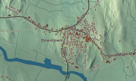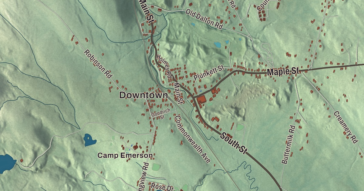
Hinsdale sits in a Berkshire valley where the East Branch of the Housatonic begins, with summer camps on Ashmere Lake, the Appalachian Trail over Tully Mountain and the old rail line through the center. This map prints North Washington Road, Main Street, South Street, Maple Street, Peru Road and Washington Road, with Ashmere Lake, Belmont Reservoir, Day Mountain and Tully Mountain. Click here to purchase a print of this map for your wall.
Hinsdale is in Berkshire County.
KNOWOL made this map in 2026 from public survey data, finished with the look of an old atlas. The hills come from United States Geological Survey elevation data, and the roads and the town line come from the Census Bureau. Hinsdale covers 21.7 square miles in central Berkshire County, about 9 miles east of Pittsfield, and it had 1,919 people at the 2020 census. Most of its people live in the valley of the East Branch of the Housatonic River, which rises just south of the town line, and much of the swampy land south of the center belongs to the Hinsdale Flats Wildlife Management Reserve.
Partridgefield and the mill
The land was first part of Northern Berkshire Township Number 2, which took in all of today’s Peru and parts of Middlefield and Dalton. The Town of Hinsdale’s recorded history, in the Secretary of the Commonwealth’s list, dates European settlement to 1763. In 1771 it was incorporated as Partridgefield, named for Oliver Partridge, one of the three buyers of the township along with Governor Francis Bernard. The western parish broke away from the eastern half, and Hinsdale was incorporated as a town in 1804, named for the family of the Reverend Theodore Hinsdale, who also owned an important woolen mill. That mill was the center of the town’s working life until it closed in the Great Depression. The town remains part of Berkshire County today.
Massachusetts Route 8 crosses Hinsdale from the south to the Dalton line, and Route 143 begins at Route 8 in the center of town. The old Boston and Albany Railroad runs through too, carrying the Lake Shore Limited, which has run between Boston and Chicago since 1897. The Hinsdale depot in the town center closed in 1954. Hinsdale shares a post office and the ZIP Code 01235 with Peru.
A post rider and a governor
Israel Bissell was the post rider sent out from Watertown on April 19, 1775, to carry the news of the fighting at Lexington and Concord. His page says he shouted “To arms, to arms, the war has begun” as he carried the alarm through Connecticut and on toward New York and Philadelphia, a journey of about 345 miles. The town page says Bissell lived in Hinsdale and died there on October 24, 1823, and he’s buried in the Maple Street Cemetery. The Israel Bissell Homestead and Grave is among the town’s points of interest.
Francis E. Warren was born in Hinsdale in 1844 and went to the local Hinsdale Academy. At nineteen, as a corporal in the 49th Massachusetts Infantry, he earned the Medal of Honor at the siege of Port Hudson, and he later became the first governor of Wyoming and a United States senator. The town’s notable people also include Henry Howard, a mayor of Detroit and the first treasurer of Michigan.
Lakes, reservoirs and the trail
Hinsdale holds four reservoirs, Belmont, Plunkett, Cleveland Brook and part of the Windsor Reservoir, along with most of Ashmere Lake on the Peru line. Route 143 cuts Ashmere Lake roughly in half, and summer camps line its shores, among them Camp Danbee on the south side and Camp Taconic on the north. The Appalachian Trail, a National Scenic Trail, crosses the town over the peak of Tully Mountain on the western border, and the town page notes that Hinsdale and Dalton are both home to the trail and to the Boston and Albany line.
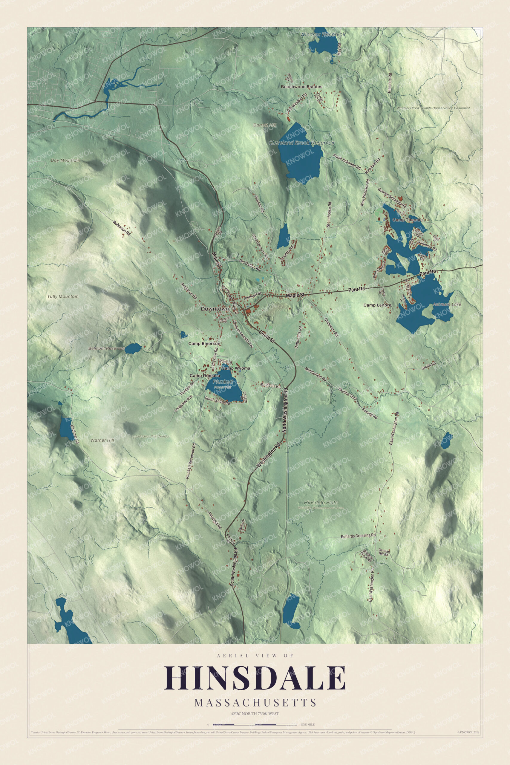
Click to explore a larger preview. The digital watermark does not appear on printed maps.
Names on this map
These names are printed on this map.
Places: Downtown, Beechwood Estates, Camp Taconic, Barrett Hill, Day Mountain, Tully Mountain, Warner Hill, Ashmere Lake, Belmont Reservoir, Cleveland Brook Reservoir, Windsor Reservoir, Appalachian Trail Corridor, Hinsdale Flats Wildlife Management Area, Plunkett Reservoir, Windsor Brook Wildlife Conservation Easement, Camp Emerson, Camp Lenore, Camp Romaca and Camp Wyoma.
Streets and roads: North Washington Road, Main Street, South Street, Maple Street, Peru Road, Washington Road, Plunkett Reservoir Road, Pittsfield Road, Longview Road, New Windsor Road, Longview Avenue, Country Road.
More street names, A to Z
Adams Road, Alice Drive, Ashmere Road, Bilodeau Brook Road, Bullards Crossing Road, Buttermilk Road, Calvin Road, Commonwealth Avenue, Cottage Road, Cove Lane, Creamery Road, Eagle Street, East Washington Road, Fassell Road, Forest Hill Drive, Frank Schnopp Road, Gentian Hill Road, George Schnopp Road, Goodrich Street, Hemlock Lane, Henry Drive, Hinsdale Road, Holmes Road, Jericho Road, Kirchner Road, Lenore Drive, May Road, Michaels Road, Middlefield Road, Old Dalton Road, Old Stagecoach Road, Old Windsor Road, Persips Road, Pine Cone, Pine Cone Lane, Plunkett Street, Robinson Road, Rose Drive, Shore Drive, Skyline Trail, Smith Road, South Shore Road, South Washington Road, Stonehouse Road, Watson Road, White Birch Lane.
See it on a wall
The Hinsdale map as a framed print. Swipe for more.


Around the map
Start with North Washington Road, then follow Main Street, South Street, Maple Street, Peru Road and Washington Road across town. Ashmere Lake, Belmont Reservoir, Cleveland Brook Reservoir, Windsor Reservoir, the Appalachian Trail Corridor, the Windsor Brook Wildlife Conservation Easement, Barrett Hill, Day Mountain and Tully Mountain are all printed on the map, and every one of those names is right there on the artwork.
The Hinsdale map makes a handsome addition to an office, library or den, and it can help teach children the geography and history of an old mill town in the Berkshire Hills. It’s made for people who call Hinsdale home, from Ashmere Lake to Tully Mountain, and it shows the town as it looks today. Zoom in on the preview above to explore the details, then click here to get your copy of the Hinsdale, Massachusetts map.

Sources