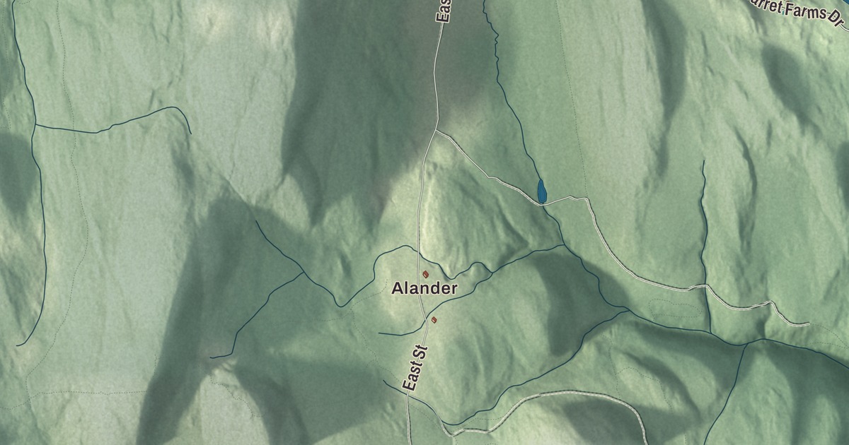
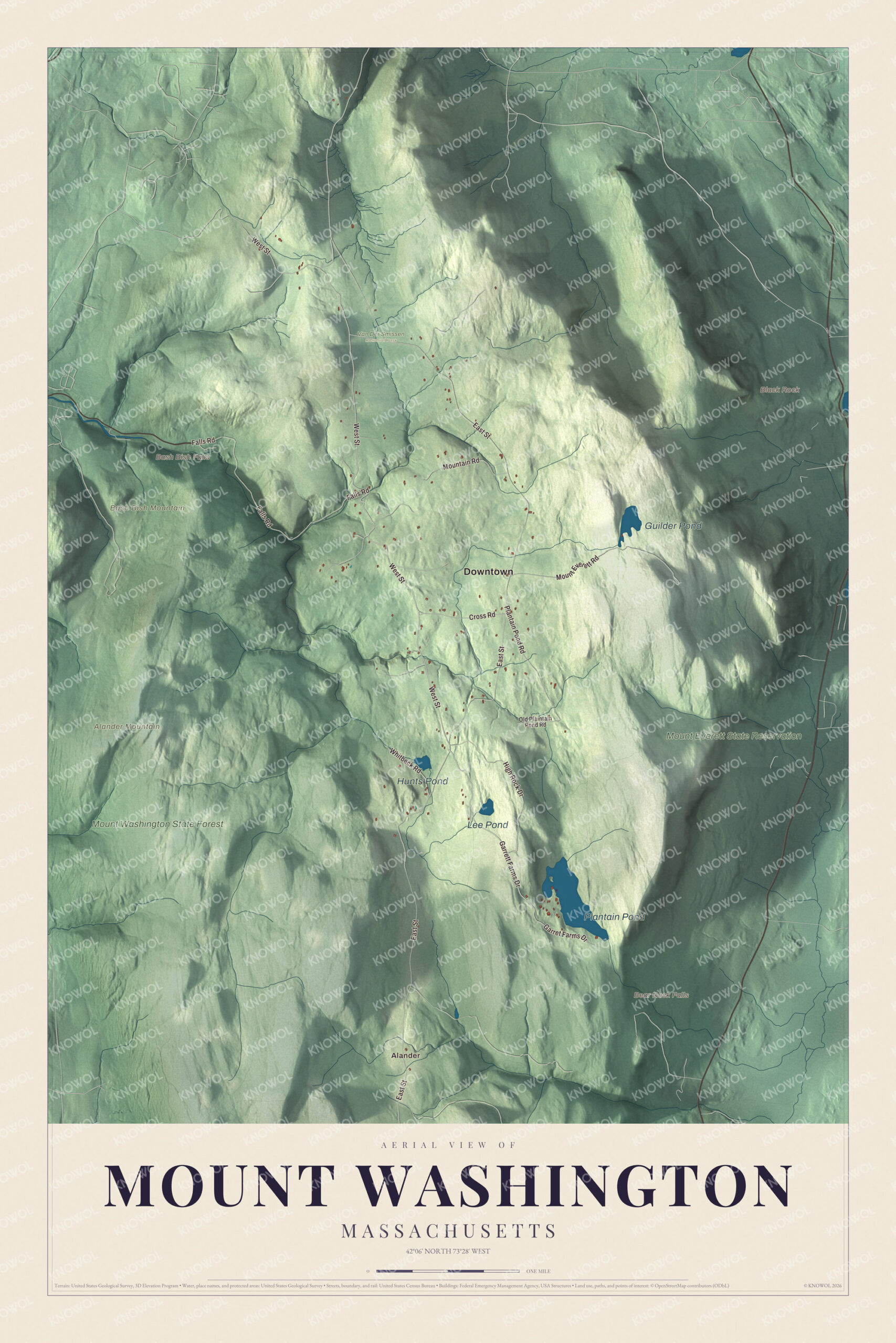
Mount Washington is the far southwest corner of Massachusetts, a plateau town in the Taconic Mountains where Bash Bish Falls drops toward New York and an old road climbs past Guilder Pond toward the top of Mount Everett. This map prints East Street, West Street, Mount Everett Road, Falls Road, High Rock Drive and Garrett Farms Drive, with Bash Bish Falls, Guilder Pond, Alander Mountain and Mount Everett State Reservation. Click here to purchase a print of this map for your wall.
Mount Washington is in Berkshire County.
KNOWOL made this map in 2026 from public survey data and gave it the quiet manner of an old atlas sheet. United States Geological Survey elevation data shapes the mountains, and the Census Bureau supplied the roads and the town line. Mount Washington covers 22.4 square miles, the westernmost and southwesternmost town in Massachusetts, with New York on the west, Salisbury, Connecticut, on the south, Sheffield on the east and Egremont on the north. It had 160 people at the 2020 census, the fewest of any town in Berkshire County. Only four roads lead out of town, and just one, East Street, connects to the rest of Massachusetts, by way of Egremont.
A town named for the general
The Town of Mount Washington’s recorded history, in the Secretary of the Commonwealth’s list, dates European settlement to 1692. Mount Washington was incorporated as a town in 1779 and named in tribute to George Washington, then commander in chief of the Continental Army. West of town lay a small tract called Boston Corner, which Massachusetts made a district in 1838; it was so cut off from the rest of the state that keeping order there was hard, and it was ceded to New York in 1855. The town remains part of Berkshire County today.
For more than eighty-five years the town has held its Church Fair on the first Saturday in August, when the people of Mount Washington work together to raise money for charity. The Appalachian Trail enters Massachusetts here, coming from Bear Mountain and passing over Mount Race and Mount Everett before heading on into Egremont.
Bash Bish and the high ground
Bash Bish Falls starts from a spring in Mount Washington and comes down in a series of cascades nearly 200 feet in all. In the last one a jutting rock splits the water into twin falls that drop 59 feet in a “V” to a pool below, and the state park page calls it Massachusetts’ highest single-drop waterfall. Below the falls Bash Bish Brook has cut a valley 1,000 feet deep between Bash Bish Mountain and Cedar Mountain on its way west into New York. Visitors have come since the 1800s, when a Swiss-style chalet stood above the falls, among them Herman Melville, Henry Wadsworth Longfellow, Henry David Thoreau, the painter John Frederick Kensett and Babe Ruth.
Mount Everett, at 2,602 feet the highest point in town and in the southern Taconics, was called the “Dome of the Taconics” before the 20th century. Its summit carries a dwarf forest of pitch pine and scrub oak. The regional historian Bernard A. Drew writes that Thoreau visited Guilder Pond in 1844 and likely climbed Everett too. On the Connecticut line, Mount Frissell’s summit lies in Mount Washington State Forest, while its south slope holds the highest point in Connecticut, and a tri-state boundary stone on the Mount Frissell Trail marks the corner where Massachusetts, Connecticut and New York meet.
Click to explore a larger preview. The digital watermark does not appear on printed maps.
Names on this map
These names are printed on this map.
Places: Downtown, Alander, Alander Mountain, Bash Bish Mountain, Black Rock, Bash Bish Falls, Bear Rock Falls, Plantain Pond, Guilder Pond, Hunts Pond, Lee Pond, Mount Washington State Forest, Mount Everett State Reservation and Van Der Smissen Memorial Park.
Streets and roads: West Street, Garrett Farms Drive, Garret Farms Drive, East Street, Falls Road, Mount Everett Road, High Rock Drive, Plantain Pond Road, Mountain Road, Cross Road, Whitbeck Road and Old Plaintain Pond Road.
Around the map
Start with Alander. Follow West Street, Garrett Farms Drive, East Street, Falls Road, Mount Everett Road and High Rock Drive across town. Plantain Pond, Guilder Pond, Hunts Pond, Lee Pond, Mount Washington State Forest, Mount Everett State Reservation, Alander Mountain, Bash Bish Mountain, Black Rock and Bash Bish Falls are all printed on the map, each name lettered onto the artwork.
Alander Mountain, 2,241 feet, has its grassy summit and east side in Mount Washington and its west slope in Copake, New York, and the South Taconic Trail passes just below the top. Mount Washington State Forest covers 4,619 acres, given to the state by Alfred and Cornelia Intemann between 1958 and 1968, with 30 miles of trails. Mount Everett State Reservation, begun with land bought by a state commission set up in 1908, reaches into Sheffield, and old-growth forest grows around Guilder Pond, where visitors picnic and canoe.
The Mount Washington map makes a fine addition to an office, library or den, and it can help teach children the geography and history of the state’s southwest corner. It’s made for people who call Mount Washington home, from Alander to the slopes of Mount Everett, and it shows the town as it looks today. Zoom in on the preview above to explore the details, then click here to get your copy of the Mount Washington, Massachusetts map.

We made a map for every town and city in Massachusetts. Explore the complete Massachusetts map collection and find your town.
Sources
- Mount Washington, Massachusetts, Wikipedia
- Boston Corner, New York, Wikipedia
- Bash Bish Falls, Wikipedia
- Bash Bish Falls State Park, Wikipedia
- Mount Everett, Wikipedia
- Mount Frissell, Wikipedia
- Mount Washington State Forest, Wikipedia
- Alander Mountain, Wikipedia
- Mount Everett State Reservation, Wikipedia
- City and Town Incorporation and Settlement Dates, Secretary of the Commonwealth of Massachusetts (archived copy)